Downloaded 783 times

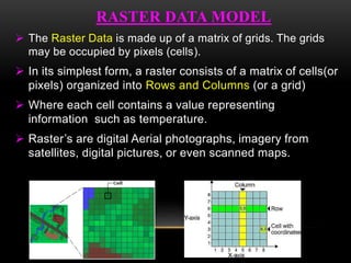
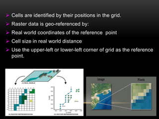


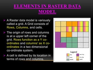


The document discusses the raster data model. The key points are: - Raster data is represented as a grid of cells (pixels) organized into rows and columns. Each cell contains a value representing information. - Common raster data types include satellite imagery, digital elevation models, and scanned maps. - Raster data has advantages for modeling and analysis but disadvantages for representing linear features and conforming to cartographic standards due to resolution issues.


