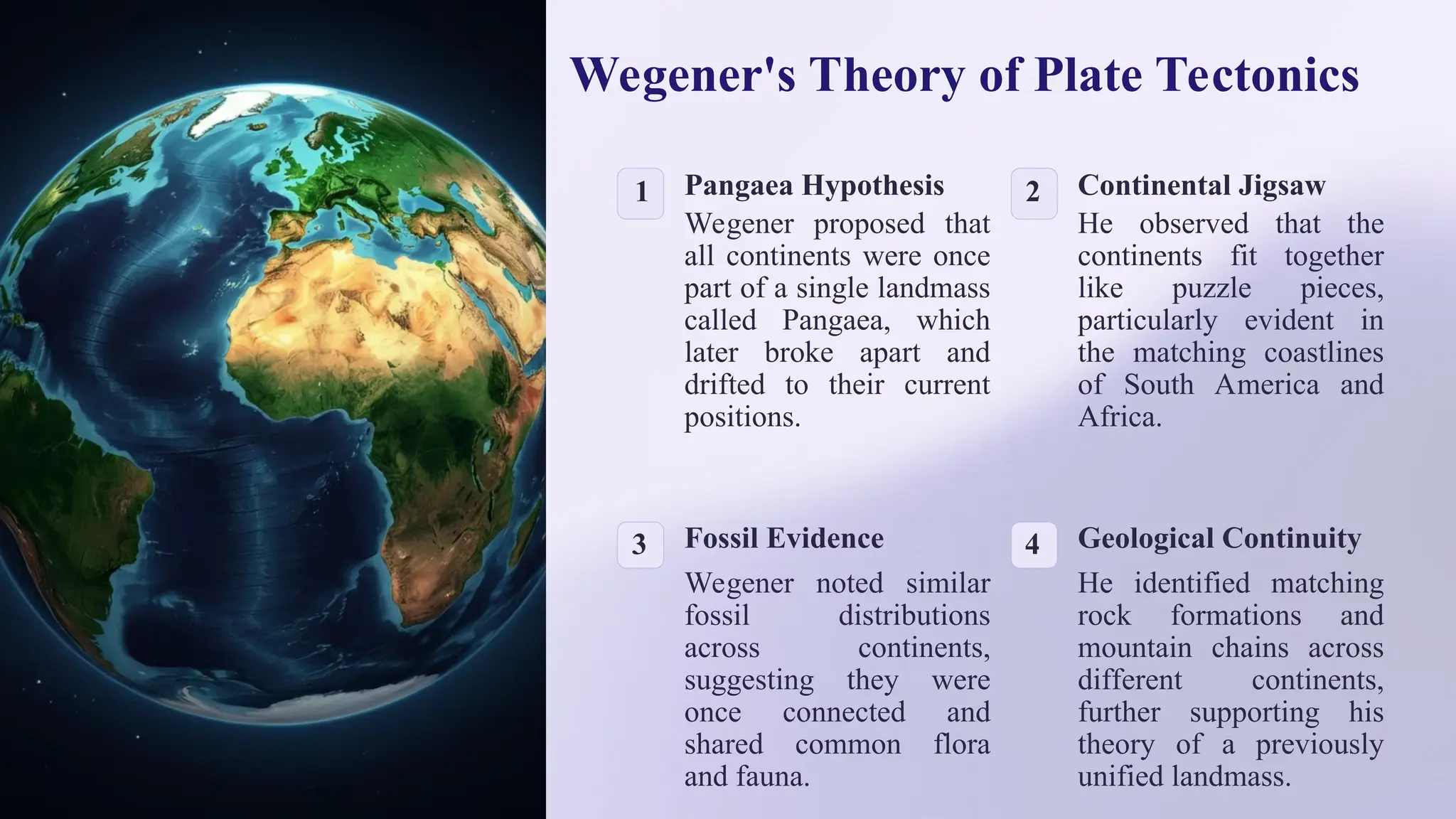
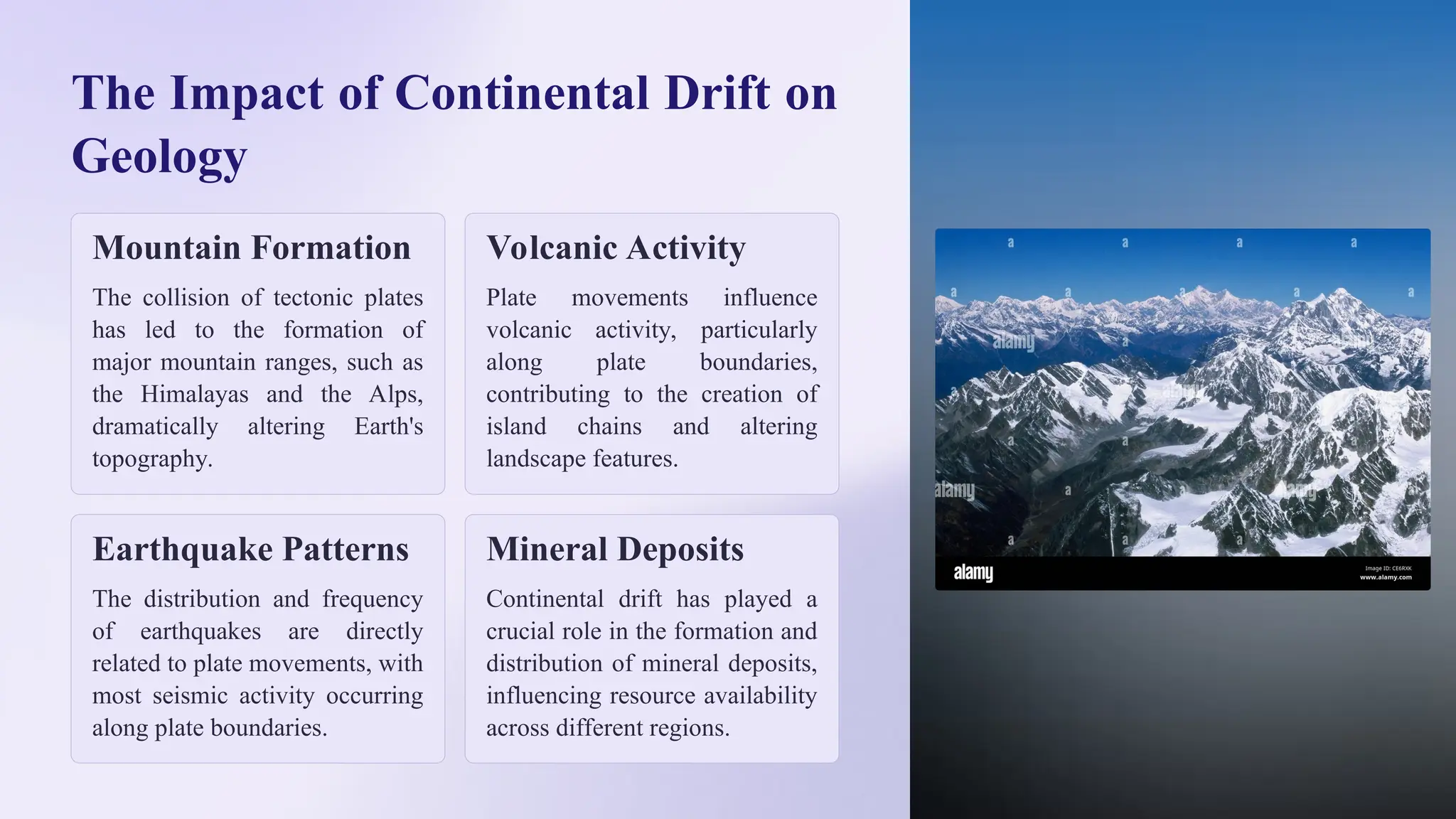
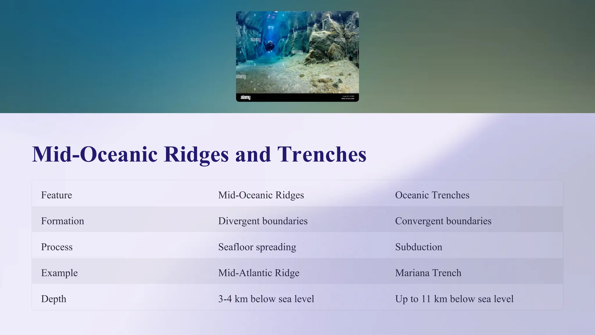
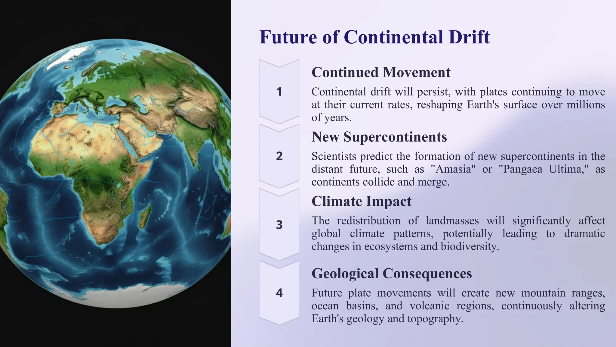
Continental Drift: The Shifting
Continents
Continental drift, a groundbreaking geological theory, revolutionized
our understanding of Earth's dynamic surface. This concept proposes
that the Earth's continents have moved over geological time,
reshaping the planet's geography. The theory explains the striking
similarities in coastlines, rock formations, and fossil records across
distant landmasses, suggesting they were once connected.
As we delve into the fascinating world of plate tectonics, we'll
explore the history, evidence, and far-reaching implications of
continental drift. This journey through time and space will reveal
how the Earth's surface has been in constant flux, shaping the world
we know today and continuing to influence our planet's future.
BY
Dr. Pramoda G
Faculty In Geology
Department of Geology
Yuvaraja’s College Mysuru
The History of Continental Drift
1 Early Observations
As early as the 16th century, scholars noted the apparent fit between the coastlines of Africa
and South America sparking curiosity about the possibility of continental movement.
2 Wegener's Hypothesis
In 1912, German meteorologist Alfred Wegener formally proposed the theory of continental drift,
suggesting that continents were once joined in a supercontinent called Pangaea.
3 Initial Rejection
Wegener's theory was initially met with skepticism due to the lack of a plausible mechanism
for continental movement.
4 Modern Acceptance
By the 1960s, new evidence and the development of plate tectonic theory led to widespread
acceptance of continental drift among the scientific community.
Wegener's Theory of Plate Tectonics
1 Pangaea Hypothesis
Wegener proposed that
all continents were once
part of a single landmass
called Pangaea, which
later broke apart and
drifted to their current
positions.
2 Continental Jigsaw
He observed that the
continents fit together
like puzzle pieces,
particularly evident in
the matching coastlines
of South America and
Africa.
3 Fossil Evidence
Wegener noted similar
fossil distributions
across continents,
suggesting they were
once connected and
shared common flora
and fauna.
4 Geological Continuity
He identified matching
rock formations and
mountain chains across
different continents,
further supporting his
theory of a previously
unified landmass.
Evidence Supporting Continental Drift
Paleontological
Evidence
Fossil records of similar species
found on different continents,
such as Mesosaurus in South
America and Africa, support the
theory of previously connected
landmasses.
Geological Evidence
Matching rock formations and
mountain ranges across
continents, like the Appalachian
Mountains in North America
and the Scottish Highlands,
indicate a shared geological
history.
Paleoclimatic Evidence
The discovery of glacial
deposits in tropical regions and
coal deposits in Antarctica
suggest these areas were once in
different climate zones,
supporting the idea of
continental movement.
The Movement of Tectonic Plates
Plate Boundaries
Tectonic plates meet at boundaries where they
interact, leading to various geological phenomena.
Convection Currents
The movement of plates is driven by convection
currents in the Earth's mantle, caused by heat from
the planet's core.
Rates of Movement
Plates move at varying speeds, typically a few
centimeters per year, with some moving faster or
slower than others.
Continuous Process
Plate movement is ongoing, constantly reshaping the
Earth's surface over millions of years.
The Formation of Landmasses and
Oceans
1 Pangaea Formation
Around 300 million years ago, all continents merged
into the supercontinent Pangaea, surrounded by a
single ocean called Panthalassa.
2 Initial Breakup
About 200 million years ago, Pangaea began to break
apart, first splitting into Laurasia (northern
continents) and Gondwana (southern continents).
3 Continental Separation
Over the next 150 million years, these landmasses
further separated, forming the Atlantic Ocean and
shaping the continents we recognize today.
4 Ongoing Changes
The process continues, with the Pacific Ocean
shrinking and the Atlantic Ocean expanding,
gradually reshaping Earth's geography.
The Impact of Continental Drift on
Geology
Mountain Formation
The collision of tectonic plates
has led to the formation of
major mountain ranges, such as
the Himalayas and the Alps,
dramatically altering Earth's
topography.
Volcanic Activity
Plate movements influence
volcanic activity, particularly
along plate boundaries,
contributing to the creation of
island chains and altering
landscape features.
Earthquake Patterns
The distribution and frequency
of earthquakes are directly
related to plate movements, with
most seismic activity occurring
along plate boundaries.
Mineral Deposits
Continental drift has played a
crucial role in the formation and
distribution of mineral deposits,
influencing resource availability
across different regions.
Nature and Types of Plate Margins
Convergent Boundaries
Where plates move towards each other, resulting in subduction zones or
mountain building. Examples include the Andes Mountains and the Mariana
Trench.
Divergent Boundaries
Where plates move apart, creating new crust. The Mid-Atlantic Ridge is a
prime example, where new oceanic crust forms as the plates separate.
Transform Boundaries
Where plates slide past each other horizontally. The San Andreas Fault in
California is a well-known transform boundary, causing frequent
earthquakes.
Mid-Oceanic Ridges and Trenches
Feature Mid-Oceanic Ridges Oceanic Trenches
Formation Divergent boundaries Convergent boundaries
Process Seafloor spreading Subduction
Example Mid-Atlantic Ridge Mariana Trench
Depth 3-4 km below sea level Up to 11 km below sea level
Origin and Distribution of Island Arcs
Volcanic Island Arcs
Island arcs form along convergent plate boundaries where
oceanic crust subducts beneath another oceanic plate. The
subduction process leads to partial melting of the
descending plate, resulting in volcanic activity that creates
a chain of islands.
Distribution Patterns
Island arcs are typically found in the Pacific Ocean, forming the
"Ring of Fire." Notable examples include the Aleutian Islands,
the Japanese archipelago, and the Indonesian archipelago. These
arcs play a crucial role in plate tectonic processes and provide
valuable insights into Earth's geological history.
Future of Continental Drift
Continued Movement
Continental drift will persist, with plates continuing to move
at their current rates, reshaping Earth's surface over millions
of years.
New Supercontinents
Scientists predict the formation of new supercontinents in the
distant future, such as "Amasia" or "Pangaea Ultima," as
continents collide and merge.
Climate Impact
The redistribution of landmasses will significantly affect
global climate patterns, potentially leading to dramatic
changes in ecosystems and biodiversity.
Geological Consequences
Future plate movements will create new mountain ranges,
ocean basins, and volcanic regions, continuously altering
Earth's geology and topography.

Continental-Drift-The-Shifting-Continents.ppt

  • 1.
    Continental Drift: TheShifting Continents Continental drift, a groundbreaking geological theory, revolutionized our understanding of Earth's dynamic surface. This concept proposes that the Earth's continents have moved over geological time, reshaping the planet's geography. The theory explains the striking similarities in coastlines, rock formations, and fossil records across distant landmasses, suggesting they were once connected. As we delve into the fascinating world of plate tectonics, we'll explore the history, evidence, and far-reaching implications of continental drift. This journey through time and space will reveal how the Earth's surface has been in constant flux, shaping the world we know today and continuing to influence our planet's future. BY Dr. Pramoda G Faculty In Geology Department of Geology Yuvaraja’s College Mysuru
  • 2.
    The History ofContinental Drift 1 Early Observations As early as the 16th century, scholars noted the apparent fit between the coastlines of Africa and South America sparking curiosity about the possibility of continental movement. 2 Wegener's Hypothesis In 1912, German meteorologist Alfred Wegener formally proposed the theory of continental drift, suggesting that continents were once joined in a supercontinent called Pangaea. 3 Initial Rejection Wegener's theory was initially met with skepticism due to the lack of a plausible mechanism for continental movement. 4 Modern Acceptance By the 1960s, new evidence and the development of plate tectonic theory led to widespread acceptance of continental drift among the scientific community.
  • 3.
    Wegener's Theory ofPlate Tectonics 1 Pangaea Hypothesis Wegener proposed that all continents were once part of a single landmass called Pangaea, which later broke apart and drifted to their current positions. 2 Continental Jigsaw He observed that the continents fit together like puzzle pieces, particularly evident in the matching coastlines of South America and Africa. 3 Fossil Evidence Wegener noted similar fossil distributions across continents, suggesting they were once connected and shared common flora and fauna. 4 Geological Continuity He identified matching rock formations and mountain chains across different continents, further supporting his theory of a previously unified landmass.
  • 4.
    Evidence Supporting ContinentalDrift Paleontological Evidence Fossil records of similar species found on different continents, such as Mesosaurus in South America and Africa, support the theory of previously connected landmasses. Geological Evidence Matching rock formations and mountain ranges across continents, like the Appalachian Mountains in North America and the Scottish Highlands, indicate a shared geological history. Paleoclimatic Evidence The discovery of glacial deposits in tropical regions and coal deposits in Antarctica suggest these areas were once in different climate zones, supporting the idea of continental movement.
  • 5.
    The Movement ofTectonic Plates Plate Boundaries Tectonic plates meet at boundaries where they interact, leading to various geological phenomena. Convection Currents The movement of plates is driven by convection currents in the Earth's mantle, caused by heat from the planet's core. Rates of Movement Plates move at varying speeds, typically a few centimeters per year, with some moving faster or slower than others. Continuous Process Plate movement is ongoing, constantly reshaping the Earth's surface over millions of years.
  • 6.
    The Formation ofLandmasses and Oceans 1 Pangaea Formation Around 300 million years ago, all continents merged into the supercontinent Pangaea, surrounded by a single ocean called Panthalassa. 2 Initial Breakup About 200 million years ago, Pangaea began to break apart, first splitting into Laurasia (northern continents) and Gondwana (southern continents). 3 Continental Separation Over the next 150 million years, these landmasses further separated, forming the Atlantic Ocean and shaping the continents we recognize today. 4 Ongoing Changes The process continues, with the Pacific Ocean shrinking and the Atlantic Ocean expanding, gradually reshaping Earth's geography.
  • 7.
    The Impact ofContinental Drift on Geology Mountain Formation The collision of tectonic plates has led to the formation of major mountain ranges, such as the Himalayas and the Alps, dramatically altering Earth's topography. Volcanic Activity Plate movements influence volcanic activity, particularly along plate boundaries, contributing to the creation of island chains and altering landscape features. Earthquake Patterns The distribution and frequency of earthquakes are directly related to plate movements, with most seismic activity occurring along plate boundaries. Mineral Deposits Continental drift has played a crucial role in the formation and distribution of mineral deposits, influencing resource availability across different regions.
  • 8.
    Nature and Typesof Plate Margins Convergent Boundaries Where plates move towards each other, resulting in subduction zones or mountain building. Examples include the Andes Mountains and the Mariana Trench. Divergent Boundaries Where plates move apart, creating new crust. The Mid-Atlantic Ridge is a prime example, where new oceanic crust forms as the plates separate. Transform Boundaries Where plates slide past each other horizontally. The San Andreas Fault in California is a well-known transform boundary, causing frequent earthquakes.
  • 9.
    Mid-Oceanic Ridges andTrenches Feature Mid-Oceanic Ridges Oceanic Trenches Formation Divergent boundaries Convergent boundaries Process Seafloor spreading Subduction Example Mid-Atlantic Ridge Mariana Trench Depth 3-4 km below sea level Up to 11 km below sea level
  • 10.
    Origin and Distributionof Island Arcs Volcanic Island Arcs Island arcs form along convergent plate boundaries where oceanic crust subducts beneath another oceanic plate. The subduction process leads to partial melting of the descending plate, resulting in volcanic activity that creates a chain of islands. Distribution Patterns Island arcs are typically found in the Pacific Ocean, forming the "Ring of Fire." Notable examples include the Aleutian Islands, the Japanese archipelago, and the Indonesian archipelago. These arcs play a crucial role in plate tectonic processes and provide valuable insights into Earth's geological history.
  • 11.
    Future of ContinentalDrift Continued Movement Continental drift will persist, with plates continuing to move at their current rates, reshaping Earth's surface over millions of years. New Supercontinents Scientists predict the formation of new supercontinents in the distant future, such as "Amasia" or "Pangaea Ultima," as continents collide and merge. Climate Impact The redistribution of landmasses will significantly affect global climate patterns, potentially leading to dramatic changes in ecosystems and biodiversity. Geological Consequences Future plate movements will create new mountain ranges, ocean basins, and volcanic regions, continuously altering Earth's geology and topography.