Downloaded 6,193 times
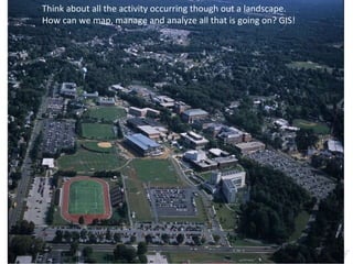
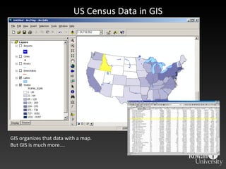
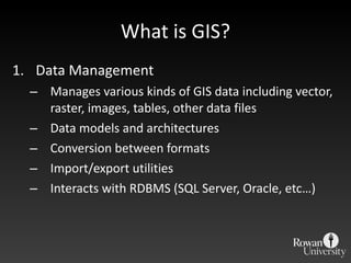
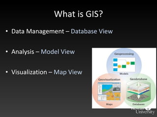
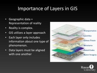
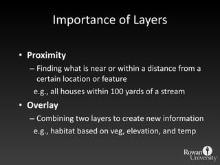
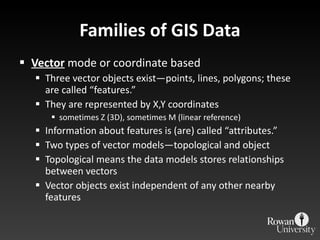
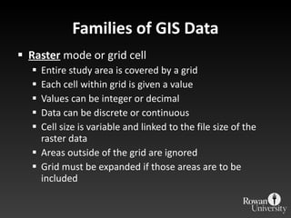
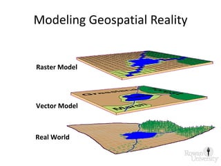
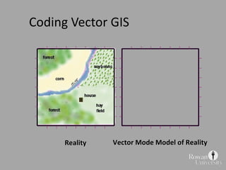
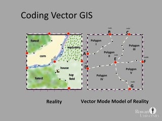
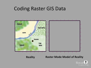
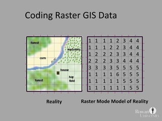
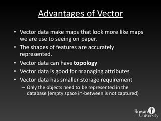
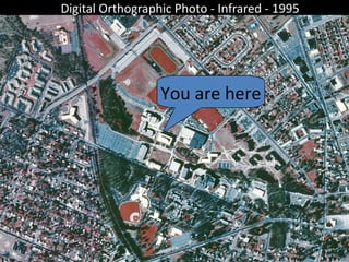
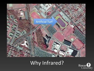
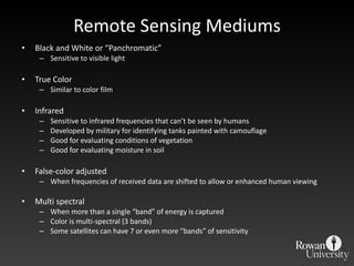
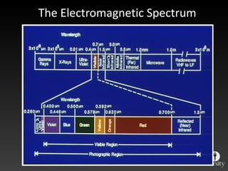
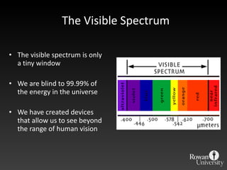
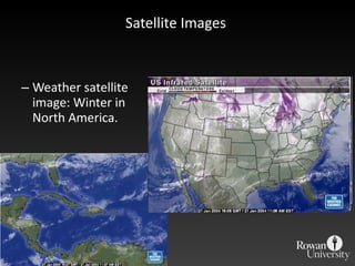
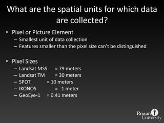
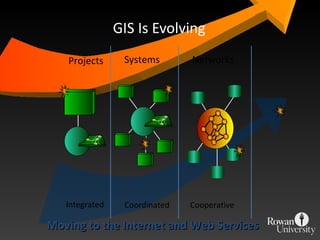
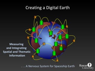

The document provides an introduction to geographic information systems (GIS) and remote sensing. It discusses how GIS organizes and analyzes spatial data through data management, analysis, and visualization. It describes different data types including vector, raster, and imagery data. It also explains key concepts such as layers, modeling geospatial reality, and coding vector and raster data. The document outlines advantages and disadvantages of vector and raster data models. It introduces remote sensing and describes platforms and sensors used to collect spatial data from aircraft and satellites.