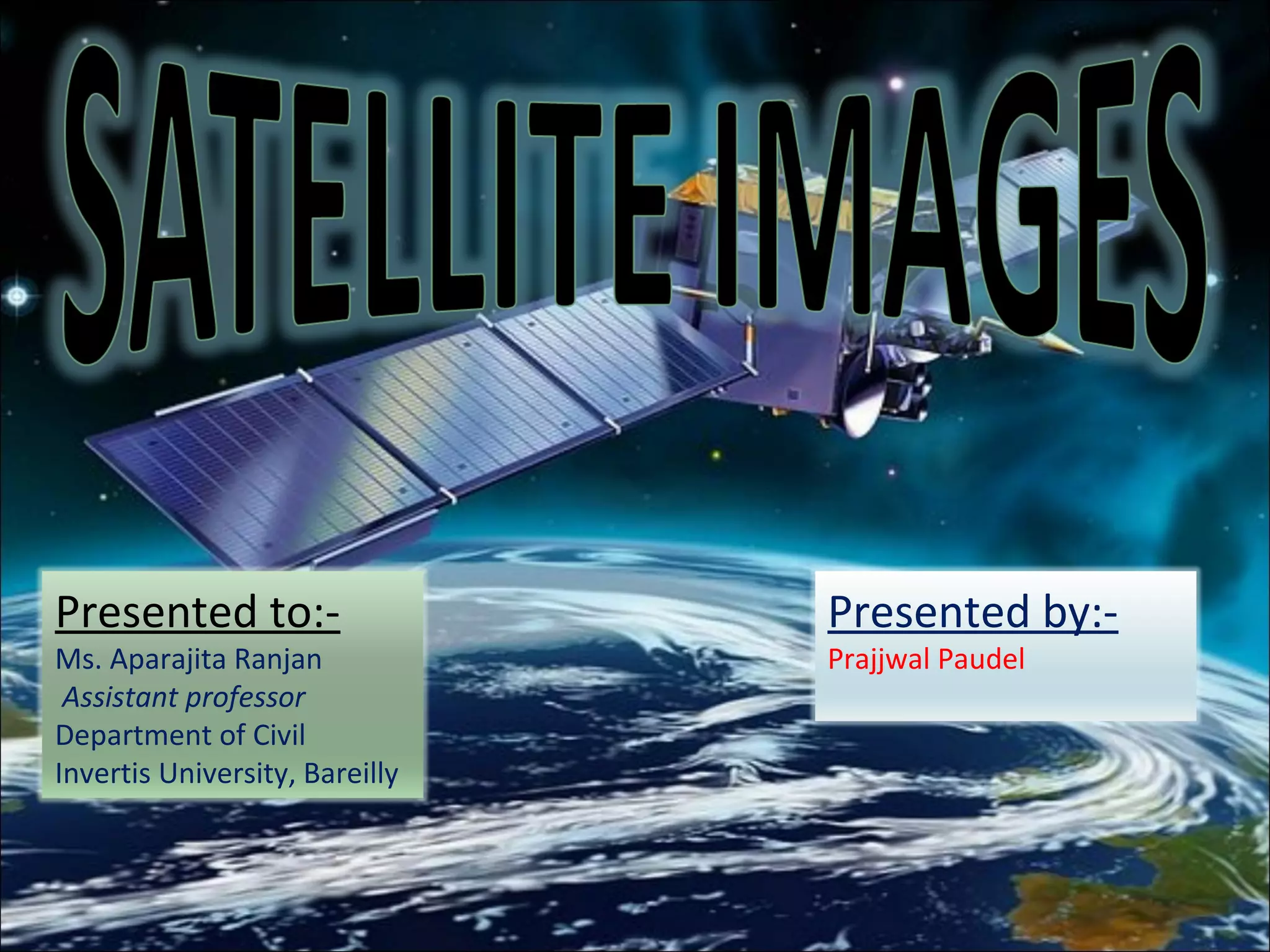
Presented to:-
Ms. AparajitaRanjan
Assistant professor
Department of Civil
Invertis University, Bareilly
Presented by:-
Prajjwal Paudel
2.
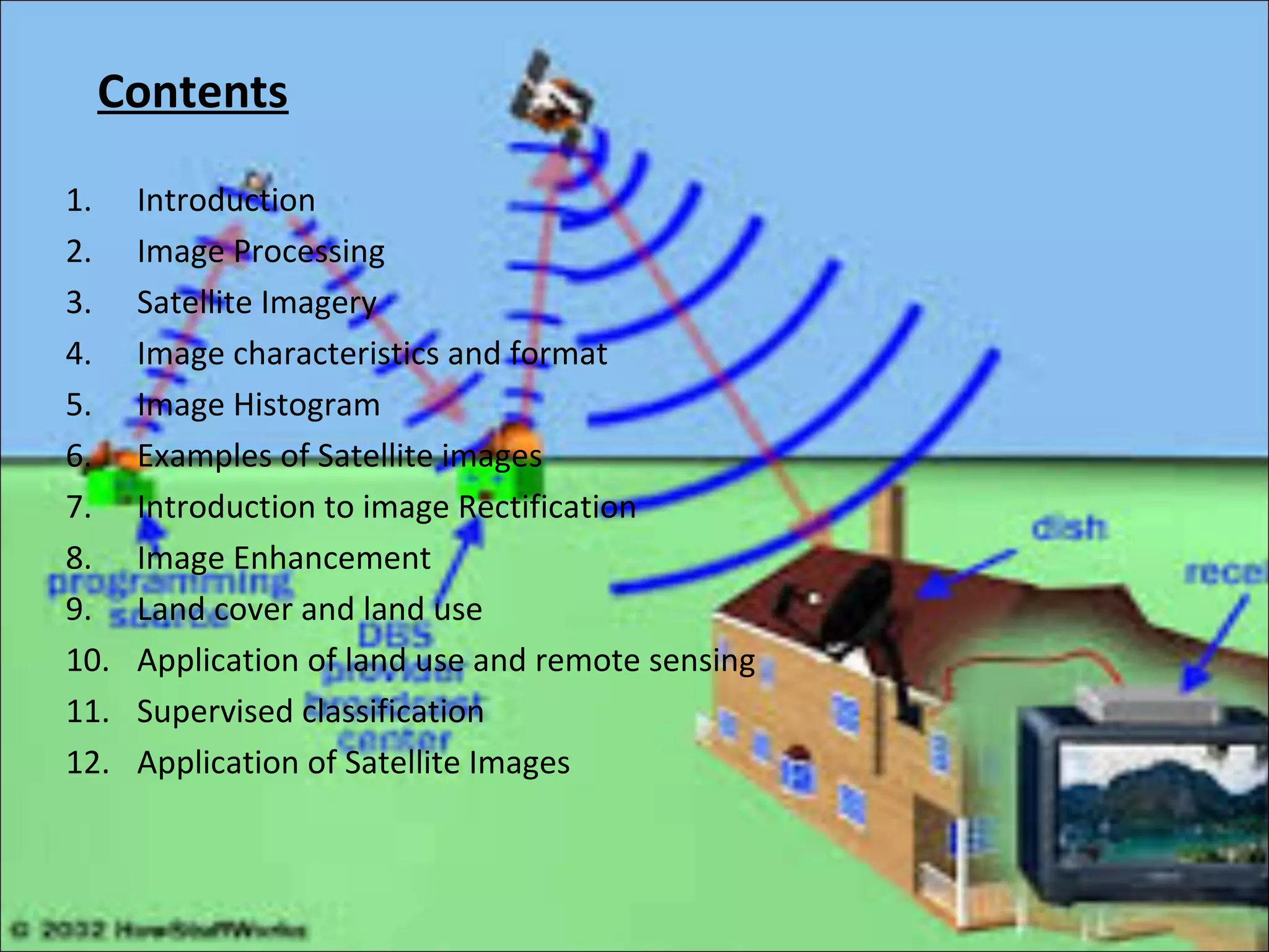
Contents
1. Introduction
2. ImageProcessing
3. Satellite Imagery
4. Image characteristics and format
5. Image Histogram
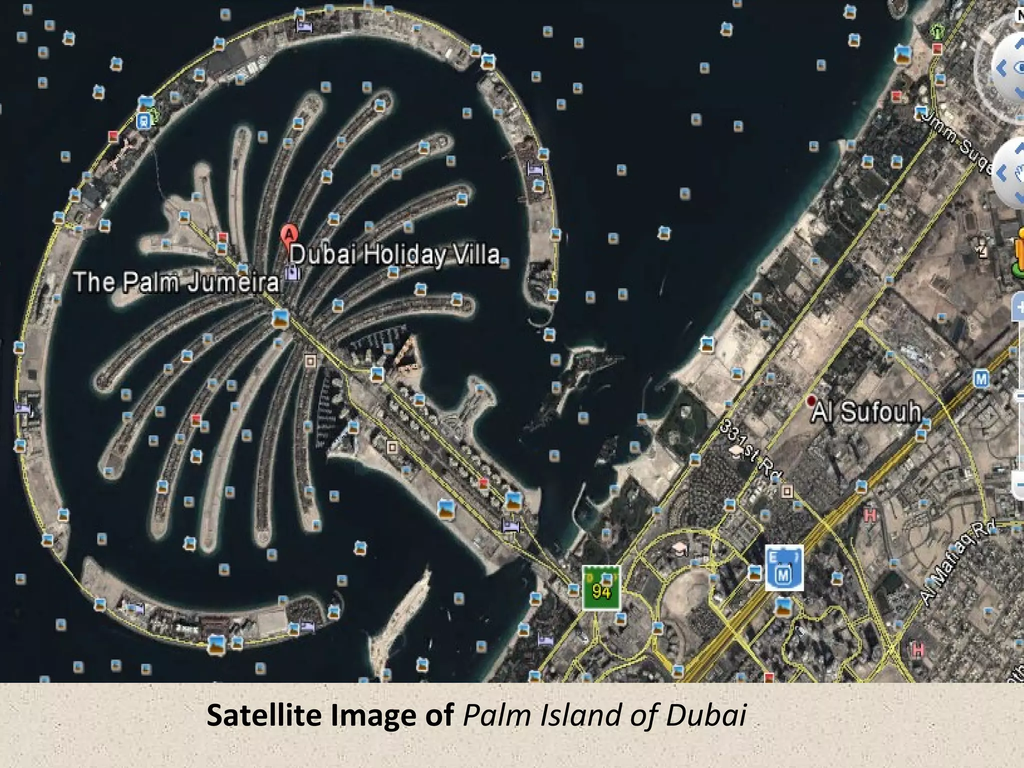
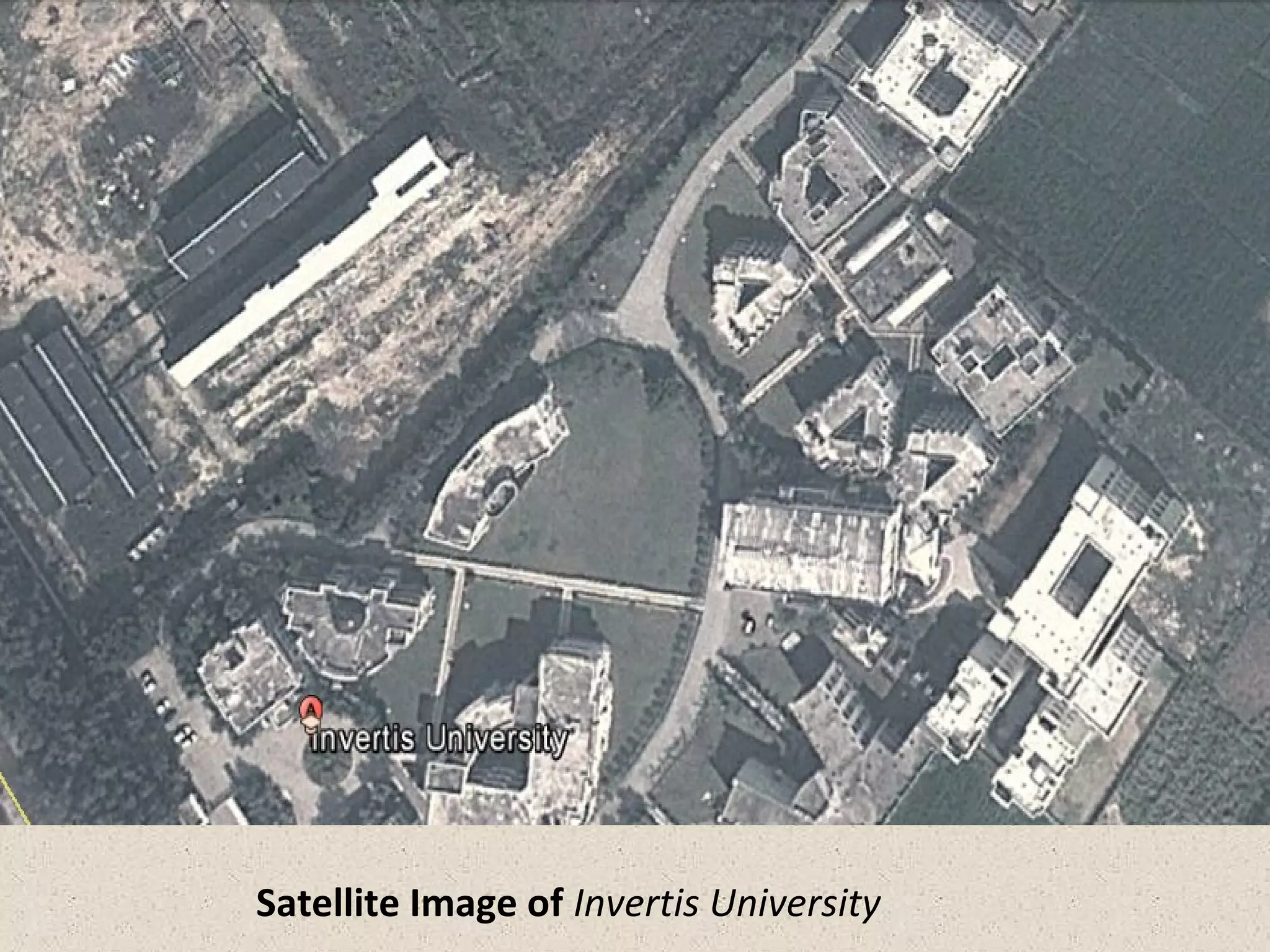
6. Examples of Satellite images
7. Introduction to image Rectification
8. Image Enhancement
9. Land cover and land use
10. Application of land use and remote sensing
11. Supervised classification
12. Application of Satellite Images
3.
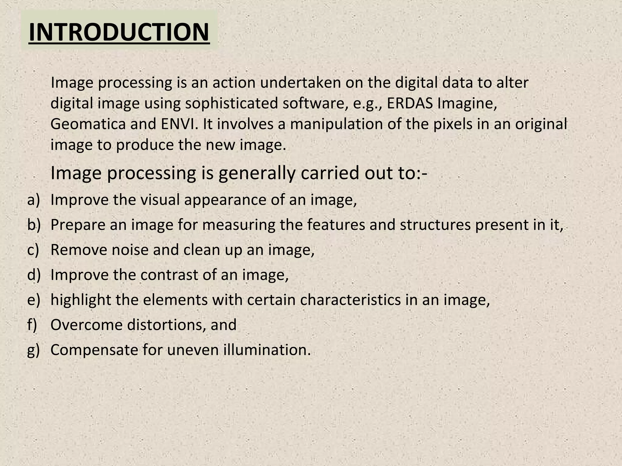
INTRODUCTION
Image processing isan action undertaken on the digital data to alter
digital image using sophisticated software, e.g., ERDAS Imagine,
Geomatica and ENVI. It involves a manipulation of the pixels in an original
image to produce the new image.
Image processing is generally carried out to:-
a) Improve the visual appearance of an image,
b) Prepare an image for measuring the features and structures present in it,
c) Remove noise and clean up an image,
d) Improve the contrast of an image,
e) highlight the elements with certain characteristics in an image,
f) Overcome distortions, and
g) Compensate for uneven illumination.
4.
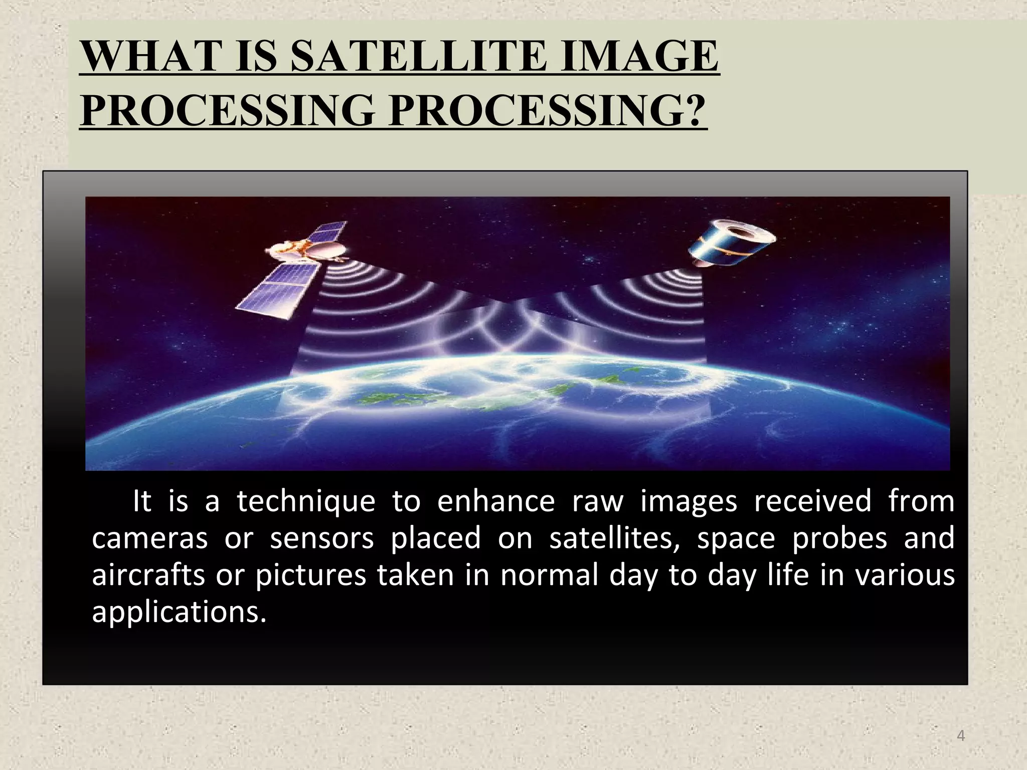
WHAT IS SATELLITEIMAGE
PROCESSING PROCESSING?
It is a technique to enhance raw images received from
cameras or sensors placed on satellites, space probes and
aircrafts or pictures taken in normal day to day life in various
applications.
4
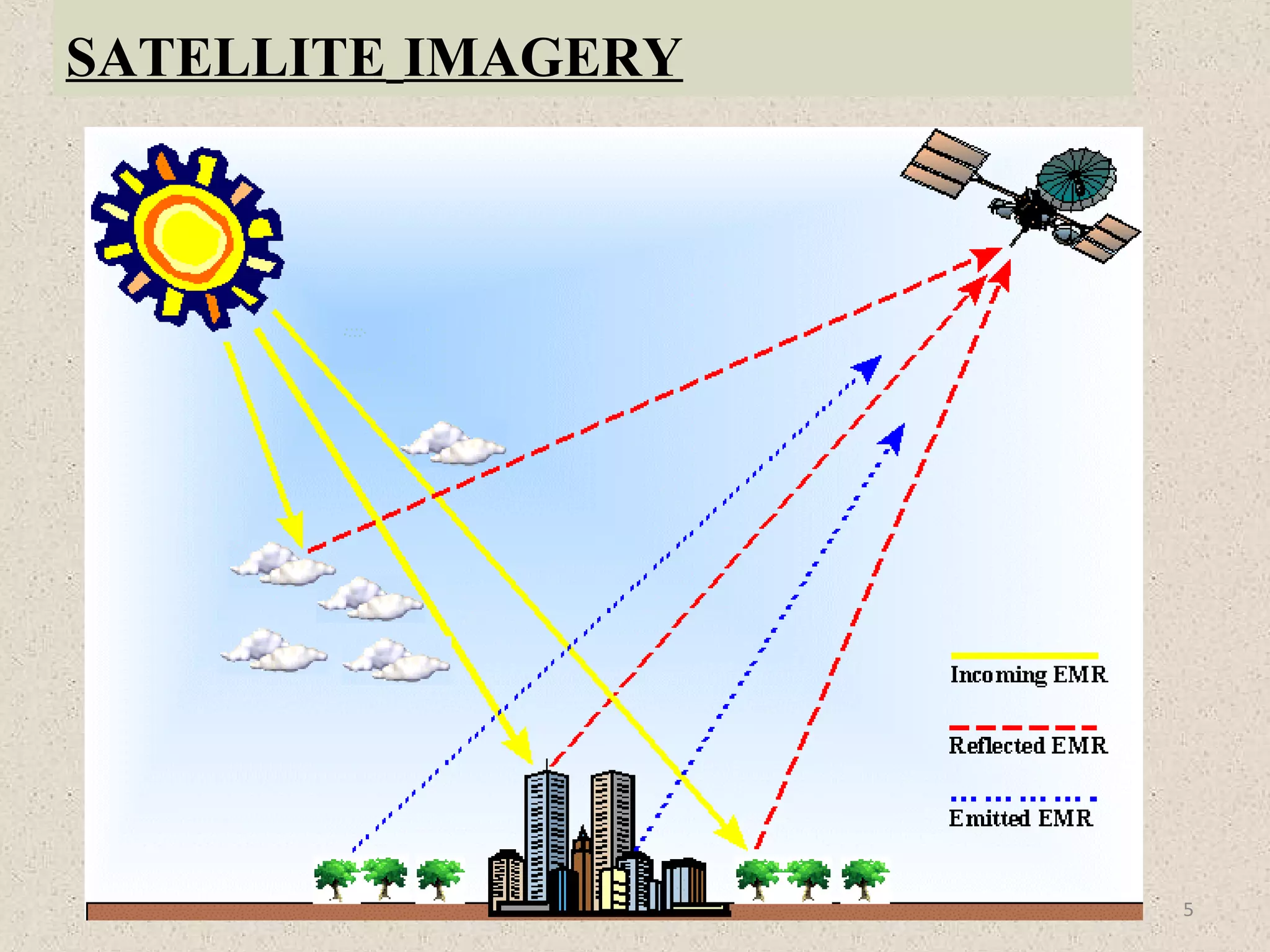
SATELLITE IMAGERY
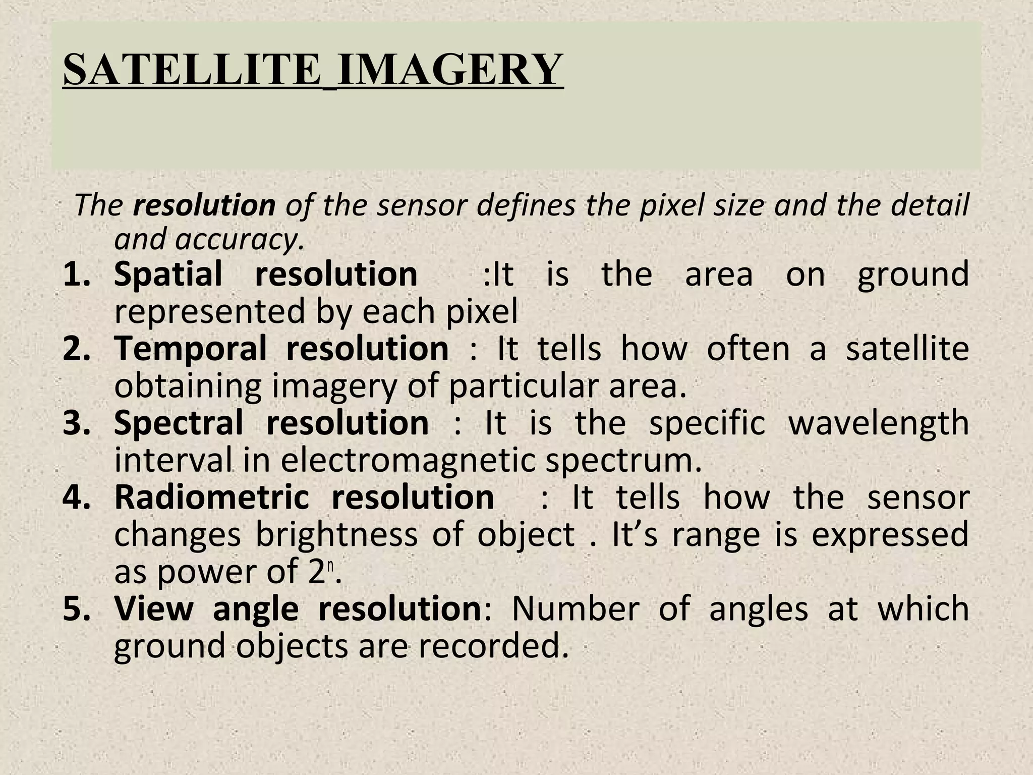
The resolutionof the sensor defines the pixel size and the detail
and accuracy.
1. Spatial resolution :It is the area on ground
represented by each pixel
2. Temporal resolution : It tells how often a satellite
obtaining imagery of particular area.
3. Spectral resolution : It is the specific wavelength
interval in electromagnetic spectrum.
4. Radiometric resolution : It tells how the sensor
changes brightness of object . It’s range is expressed
as power of 2n
.
5. View angle resolution: Number of angles at which
ground objects are recorded.
7.
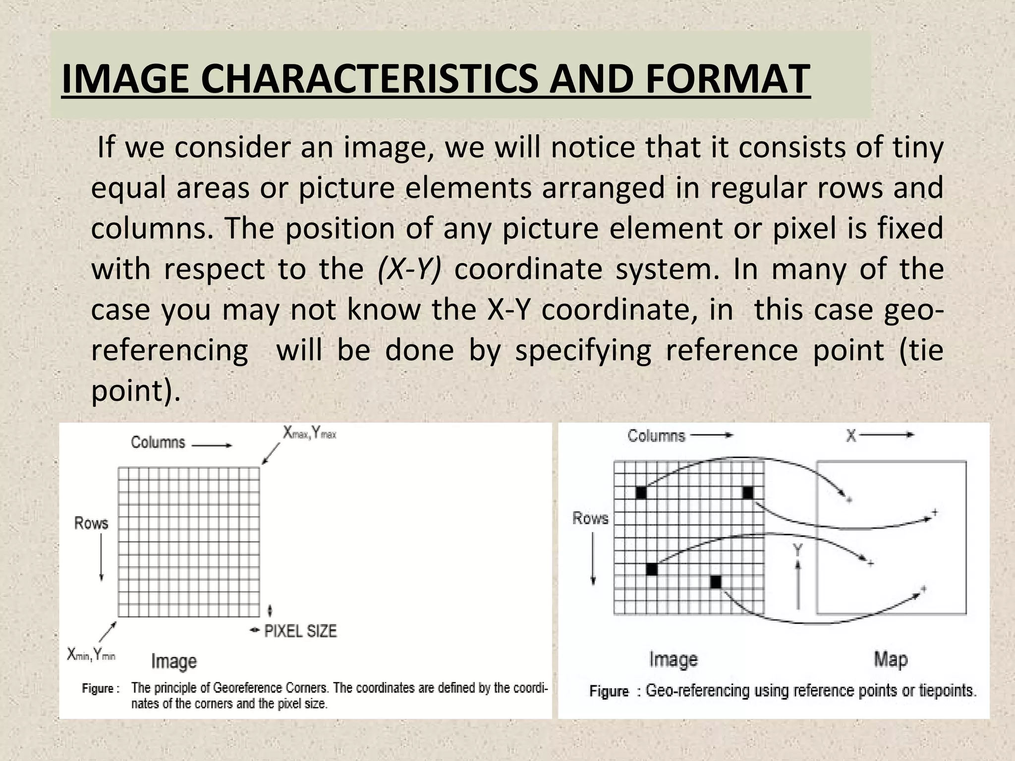
IMAGE CHARACTERISTICS ANDFORMAT
If we consider an image, we will notice that it consists of tiny
equal areas or picture elements arranged in regular rows and
columns. The position of any picture element or pixel is fixed
with respect to the (X-Y) coordinate system. In many of the
case you may not know the X-Y coordinate, in this case geo-
referencing will be done by specifying reference point (tie
point).
8.
Image Histogram Leadingto Contrast
Modification
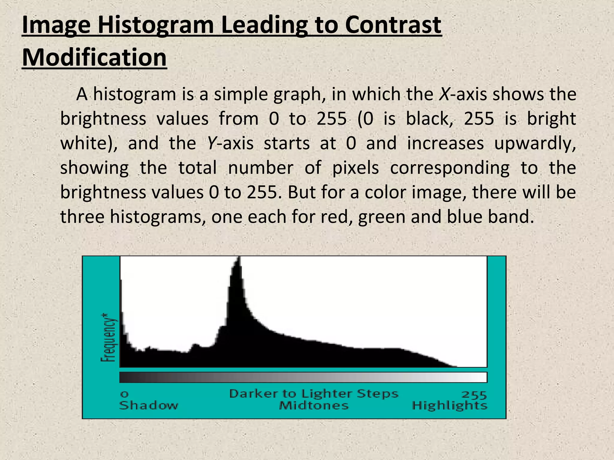
A histogram is a simple graph, in which the X-axis shows the
brightness values from 0 to 255 (0 is black, 255 is bright
white), and the Y-axis starts at 0 and increases upwardly,
showing the total number of pixels corresponding to the
brightness values 0 to 255. But for a color image, there will be
three histograms, one each for red, green and blue band.
INTRODUCATION TO IMAGERECTIFICATION
An image recorded by an MMS (Multispectral Scanner)
usually has some distortions, both radiometry and geometric.
These distortions are caused by platform effects, sensor
effects, scene effects, and atmospheric effects.
Image Rectification is a transformation process used to
project two-or-more images onto a common image plane. It
corrects image distortion by transforming the image into a
standard coordinate system.
It is used b computer stereo vision to simplify the problem of
finding matching points between images.
It is used in geographic information systems to merge images
taken from multiple perspectives into a common map
coordinate system.
12.
IMAGE ENHANCEMENT
Enhancement isthe modification of an image to alter its
impact on the viewer. To carry out, the original digital values
are changed.
Two types:-
a) One that uses individual pixels without without references to
their spatial context, known as contrast modification, and
b) One that makes use of spatial information, referred to as
spatial filtering.
13.
LAND COVER ANDLAND USE
Land cover correspond to the physical conditions of the
ground surface. For e.g., forest, grassland, etc. It refers to
features of land surface, which may be natural, semi-natural,
managed or manmade. They are directly observable by a
remote sensor.
But land use reflects human activities such as the use of
land, for e.g. industrial zones, residential zones, agricultural
fields, etc. It refers to activities on land or classification of
land according to how it is used, such as residential,
industrial, commercial, agricultural, recreational, urban, rural,
etc. They are not always directly observable, inferences
about land use can often be made from land cover.
14.
LAND USE APPLICATIONSOF REMOTE SENSING
Natural resource management.
Wildlife habitat protection.
Baseline mapping for GIS input.
Urban expansion/ encroachment.
Routing and logistics planning for seismic/ exploration/
resource extraction activities.
Damage delineation (tornadoes, flooding, volcanic, seismic,
fire and terrorist activities).
Legal boundaries for tax and property evaluation.
Target detection-identification of landing strips, roads,
clearings, bridges and land/water interface.
15.
SUPERVISED CLASSIFICATION
In asupervised classification, independent information is
utilized to define the training data. The latter are then used to
establish the classification categories. The independent
information may be:-
a) The spectral reflectance data and
b) A combination of fieldwork, analysis of aerial photographs,
maps and experience.
Note:-The image analyst uses this data to choose the
information categories.
16.
APPLICATION
Satellite imagingis prevalent in many consumer apps
today .e.g. googlemaps, Google earth , GPS cars.
The real time processing of satellite images on grid
architectures could reveal geographic and environmental
information. e.g., soil, vegetation, water-depth and air.
Pegasus-mapping engine of dataflow.
Geo-eye 1-satellite launched in 2008 has highest resolution .
EROS satellites are light weight, has high resolution and high
performance.
Meteo-sat 2 is a geostationary weather satellite.