This document provides an overview of GIS data management and database management systems (DBMS). It discusses how GIS data involves both spatial and attribute data that must be stored and linked. It defines DBMS and describes their key functions like data storage, retrieval, security and integrity. The document outlines the typical components of a DBMS including data definition, storage definition and data manipulation. It also discusses different file structures for organizing GIS data, including simple lists, indexed files and building GIS worlds. Finally, it concludes that a DBMS allows for data backup, recovery and redundancy control for database management.
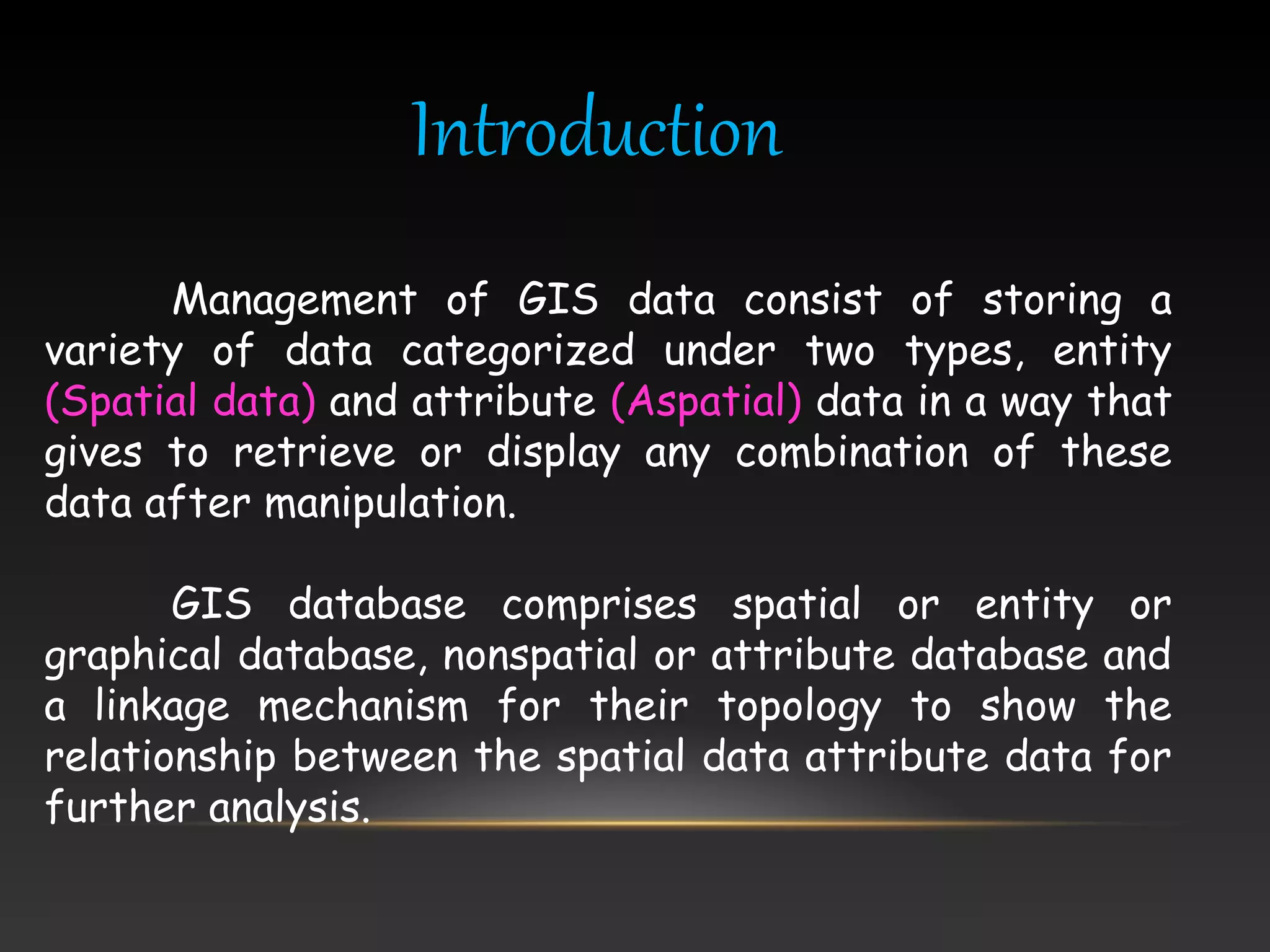
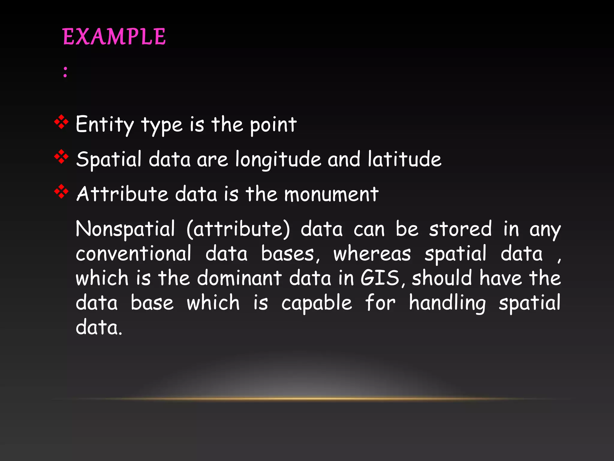
Introduction to GIS data management which categorizes data as spatial (entity) and non-spatial (attribute). Provides examples of data types and highlights the need for specialized databases.
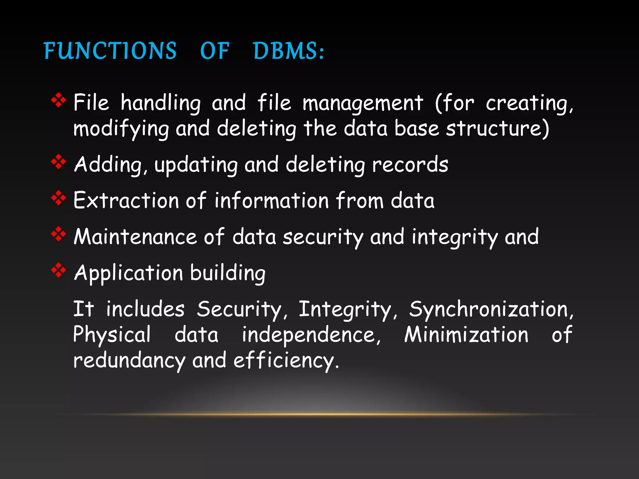
DBMS defined as systems for data control. Functions include file management, data security, integrity, and application building, essential for GIS data management.
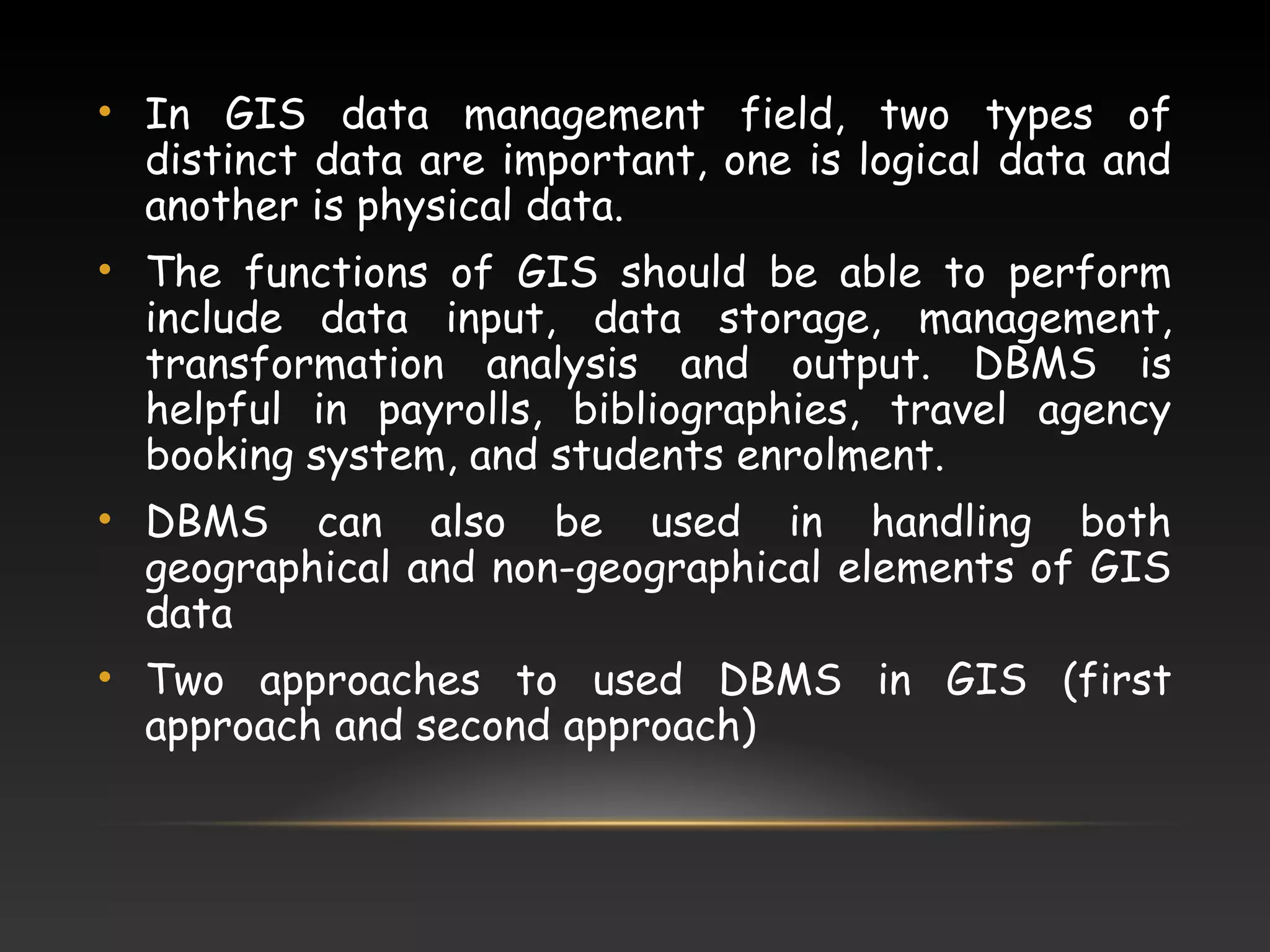
Highlights the importance of logical and physical data in GIS. Discusses two approaches for using DBMS in GIS operations.
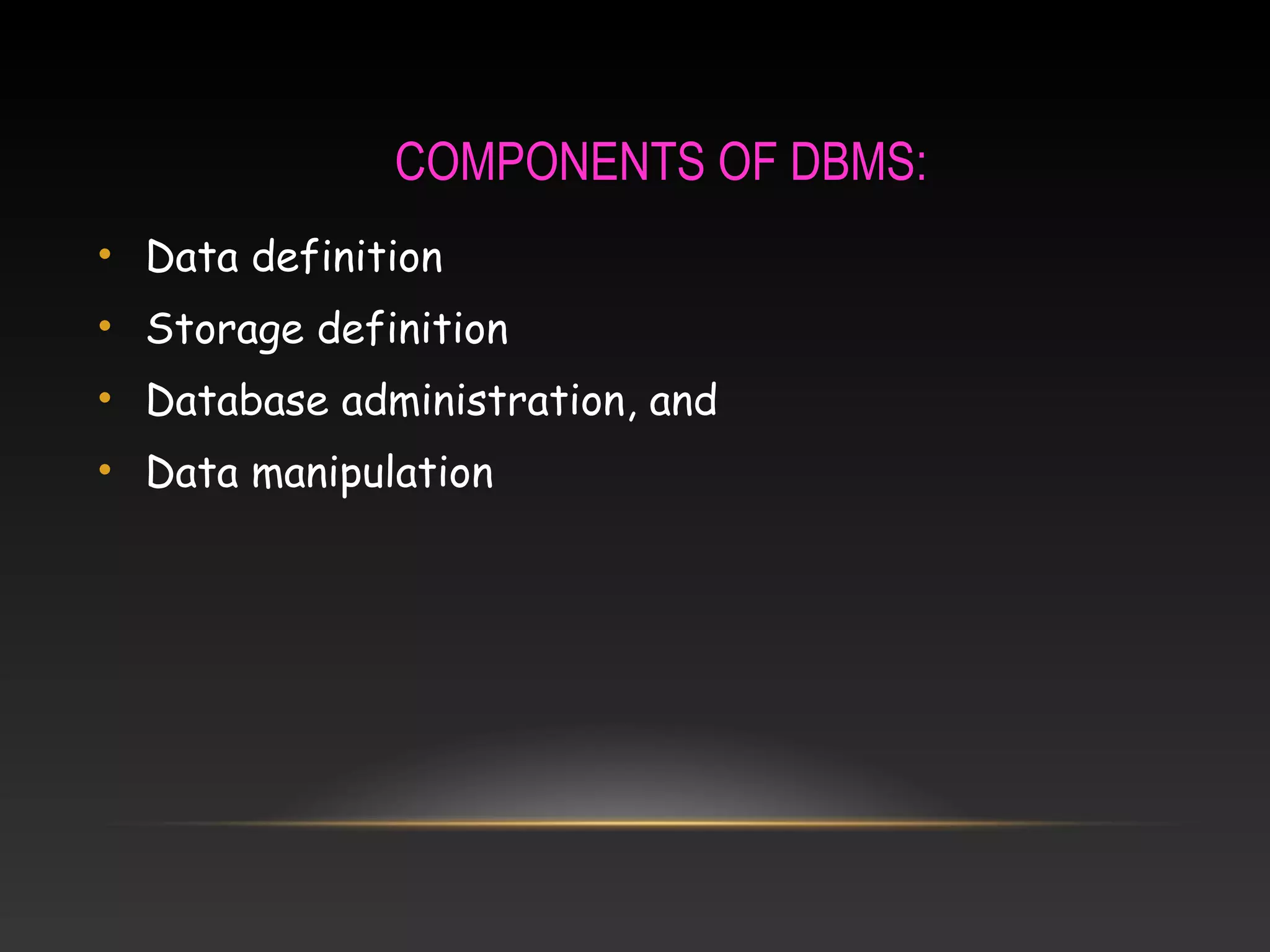
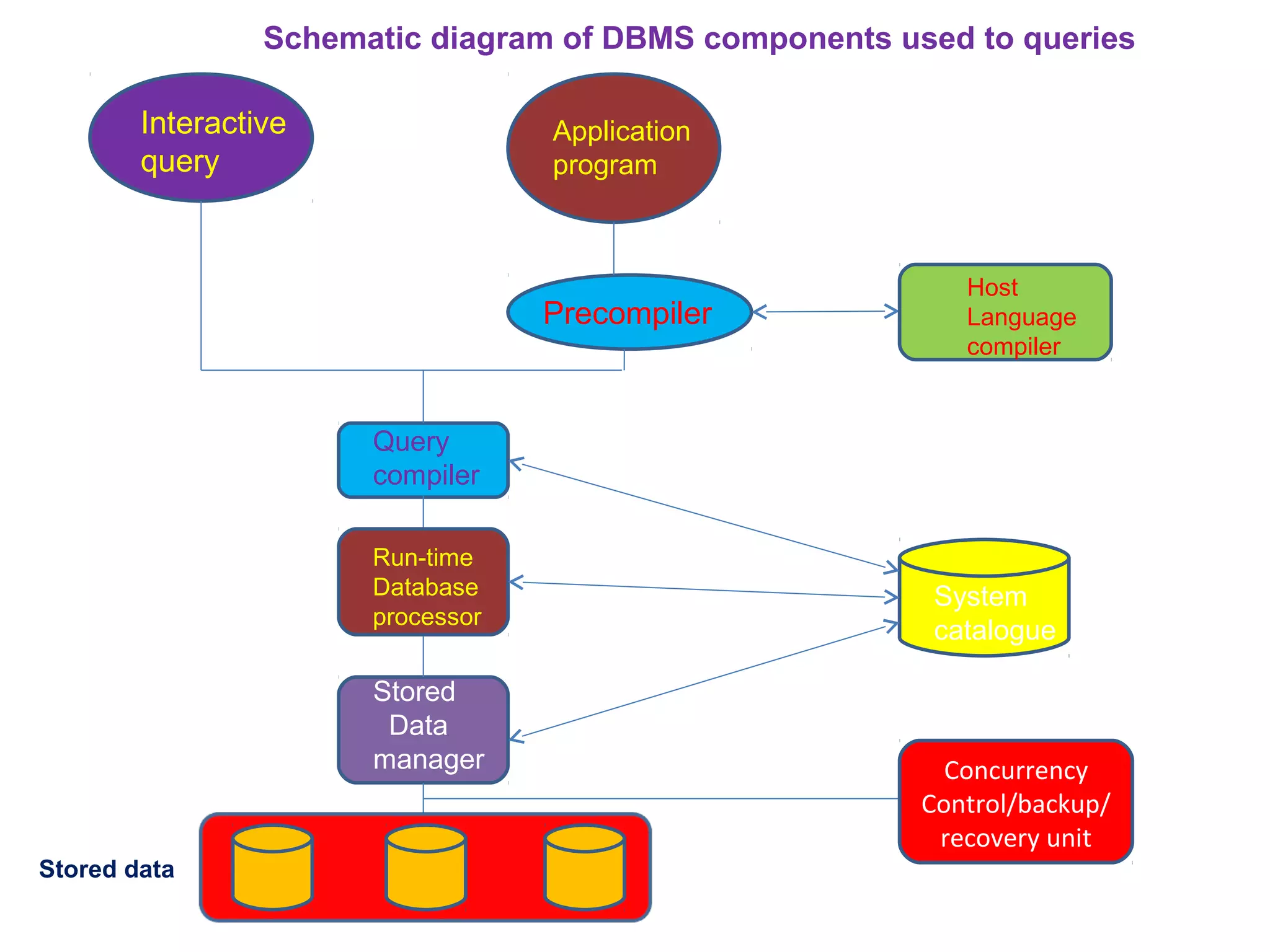
Outlines key components of DBMS including data definition and manipulation. Includes a schematic diagram detailing DBMS components interacting with stored data.
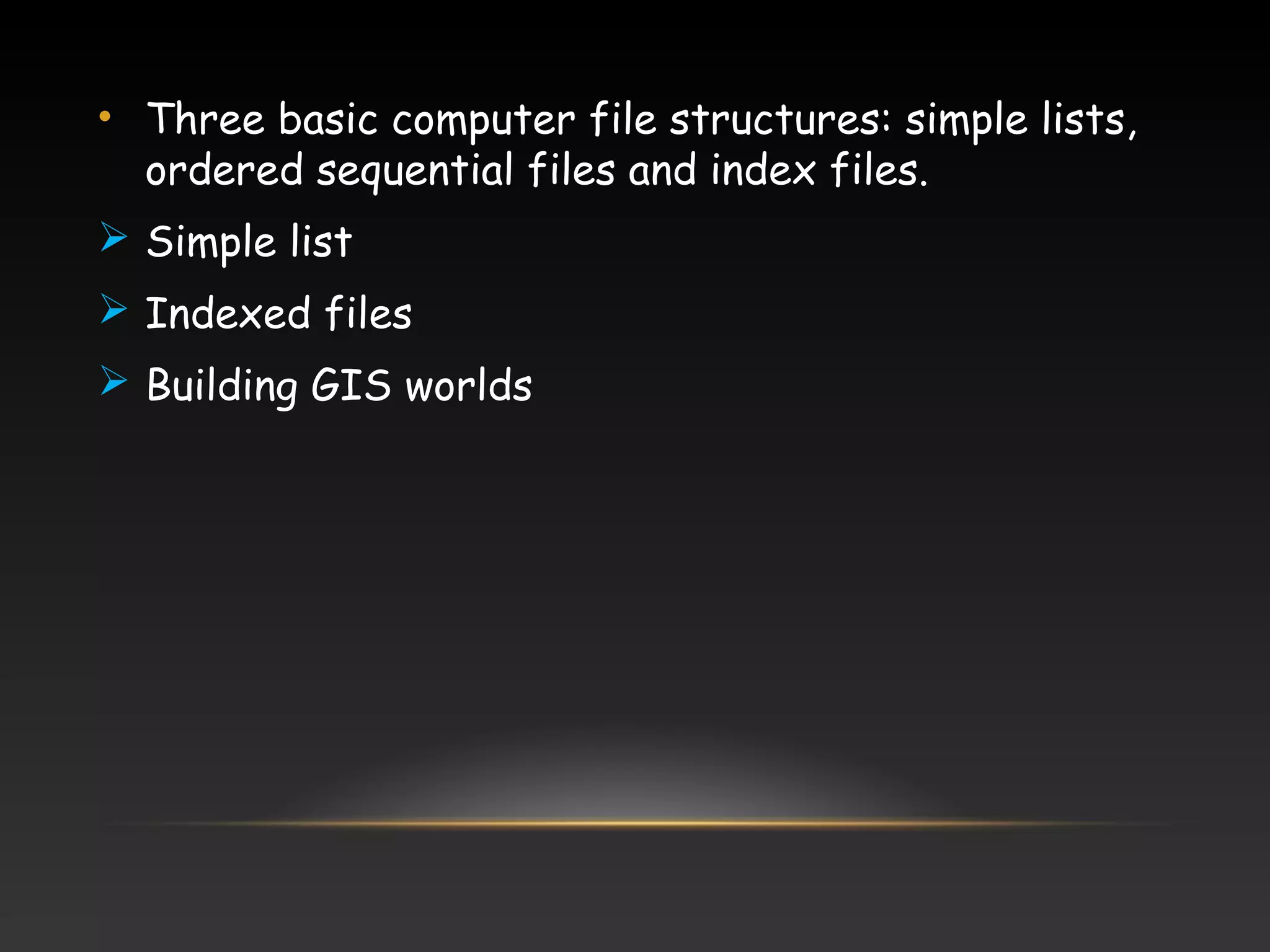
Describes GIS data file management, including basic file structures essential for storing and retrieving GIS data.
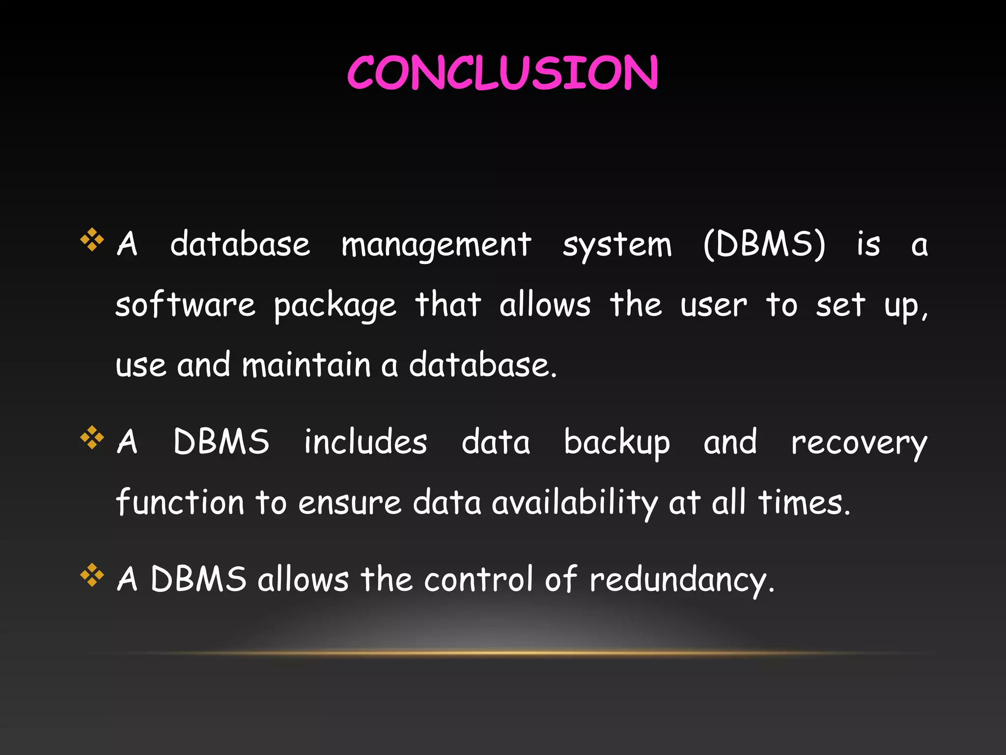
DBMS is software for creating and maintaining databases, ensuring data availability and control of redundancy.
Lists references used to support the content and information presented in the discussion on GIS and DBMS.
Introduction
Management of GISdata consist of storing a
variety of data categorized under two types, entity
(Spatial data) and attribute (Aspatial) data in a way that
gives to retrieve or display any combination of these
data after manipulation.
GIS database comprises spatial or entity or
graphical database, nonspatial or attribute database and
a linkage mechanism for their topology to show the
relationship between the spatial data attribute data for
further analysis.
4.
EXAMPLE
:
Entity typeis the point
Spatial data are longitude and latitude
Attribute data is the monument
Nonspatial (attribute) data can be stored in any
conventional data bases, whereas spatial data ,
which is the dominant data in GIS, should have the
data base which is capable for handling spatial
data.
5.
DATA BASED MANAGEMENT
SYSTEM:
Dale and McLaughlin (1988) define a DBMS as a
computer program to control the storage, retrieval
and modification of data (in a database)
Stern and Stern (1993), a DBMS will allow users to
joint, manipulate or otherwise access the data in
any number of database files.
6.
FUNCTIONS OF DBMS:
File handling and file management (for creating,
modifying and deleting the data base structure)
Adding, updating and deleting records
Extraction of information from data
Maintenance of data security and integrity and
Application building
It includes Security, Integrity, Synchronization,
Physical data independence, Minimization of
redundancy and efficiency.
7.
• In GISdata management field, two types of
distinct data are important, one is logical data and
another is physical data.
• The functions of GIS should be able to perform
include data input, data storage, management,
transformation analysis and output. DBMS is
helpful in payrolls, bibliographies, travel agency
booking system, and students enrolment.
• DBMS can also be used in handling both
geographical and non-geographical elements of GIS
data
• Two approaches to used DBMS in GIS (first
approach and second approach)
8.
COMPONENTS OF DBMS:
•Data definition
• Storage definition
• Database administration, and
• Data manipulation
GIS DATA FILEMANAGEMENT:
• Database structure, composed of combination of
various file structures and other graphic structures,
allow complex method of managing data and analyzing
multiple thematic layers to be used for a particular GIS
• GIS consist of storing entity and attribute data
• It requires the computer using a representational file
structure, to be able to store, locate, retrieve, and
cross-reference records
11.
• Three basiccomputer file structures: simple lists,
ordered sequential files and index files.
Simple list
Indexed files
Building GIS worlds
12.
CONCLUSION
A databasemanagement system (DBMS) is a
software package that allows the user to set up,
use and maintain a database.
A DBMS includes data backup and recovery
function to ensure data availability at all times.
A DBMS allows the control of redundancy.
13.
REFERENCES:
M. Anji Reddy,Textbook of Remote sensing and Geographical
Information Systems, BS Publications.
Rolf A. de By, Principle of Geographic Information System, Wim
Feringa.