Downloaded 398 times

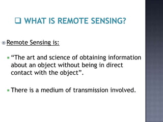
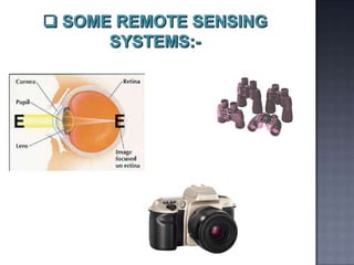
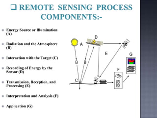
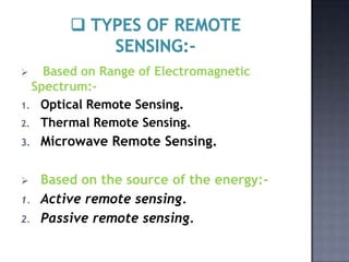
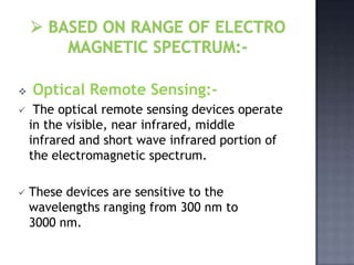
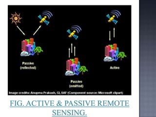


Remote sensing is the process of obtaining information about objects or areas from a distance, without physical contact. It involves the use of electromagnetic radiation to detect and classify objects on Earth through aerial sensors or satellites. The key components of a remote sensing system include an energy source, a sensor to record electromagnetic radiation, transmission of data to a receiving station, and processing to extract information. Remote sensing provides advantages like rapid coverage of large areas, accessibility to remote or dangerous regions, and collection of geo-referenced digital data. Common applications of remote sensing include agriculture, geology, urban planning, hydrology, land use mapping, forestry, and ocean monitoring.