Downloaded 377 times
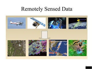
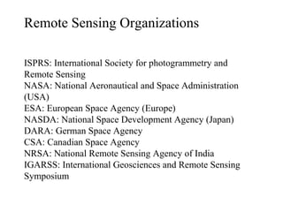
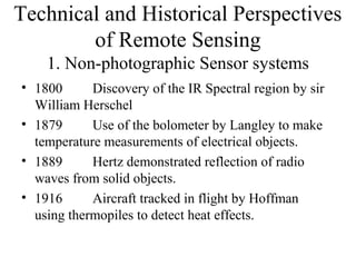


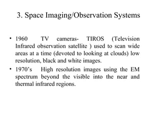
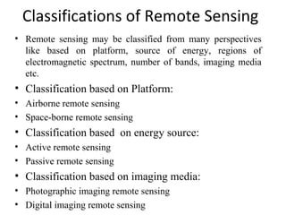


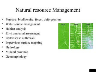

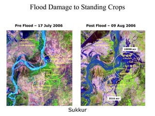

This document provides an overview of remote sensing. It defines remote sensing as acquiring information about the Earth's surface without physical contact using sensors. It discusses various remote sensing platforms, data sources, processes, applications, organizations, and history. The key applications of remote sensing mentioned are land use mapping, agriculture, forestry, water management, and environmental monitoring. Satellite images are provided as examples to illustrate monitoring of deforestation and flood damage assessment.