Downloaded 118 times
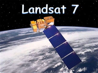

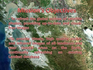


Landsat 7 is a satellite launched in 1999 with objectives to refresh the global archive of satellite photos, provide timely high quality visible and infrared images of Earth's landmasses and coastal areas, and replicate the capabilities of previous Landsat satellites. It carries the Enhanced Thematic Mapper Plus instrument to monitor changes in agriculture, water resources, urban areas, deforestation, and the natural environment. The mission is jointly managed by NASA and the U.S. Geological Survey, with a science team led by Samuel Goward that uses Landsat data for applications such as measuring land cover change and monitoring volcanic eruptions and fires.