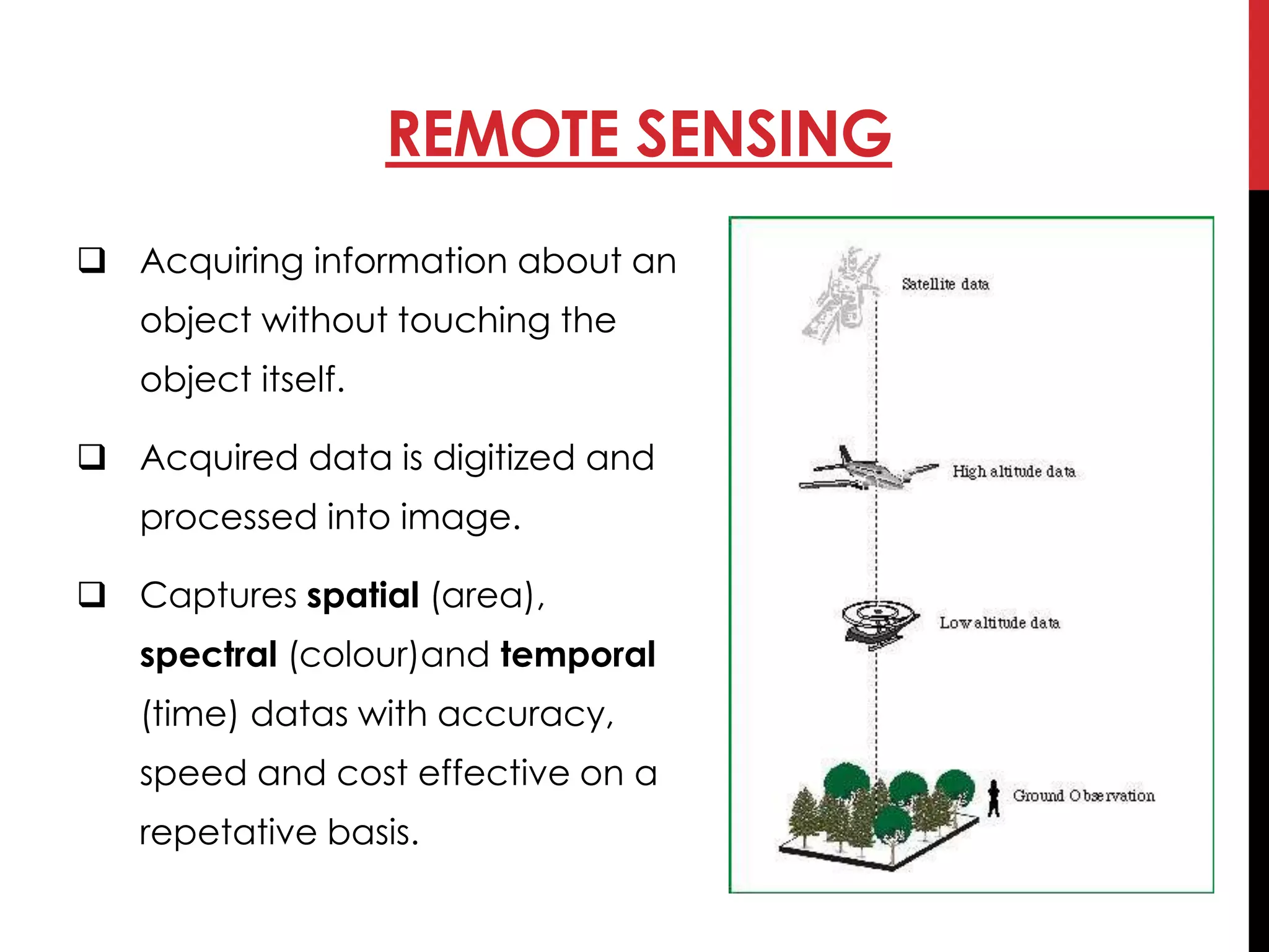
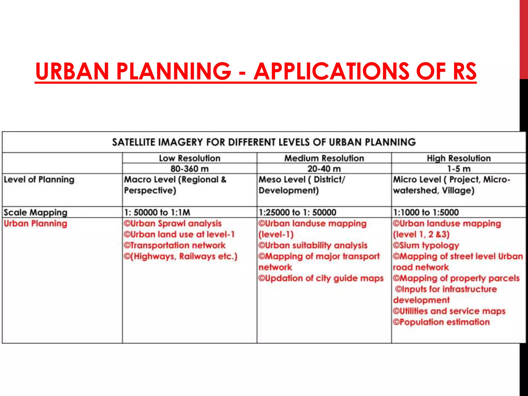
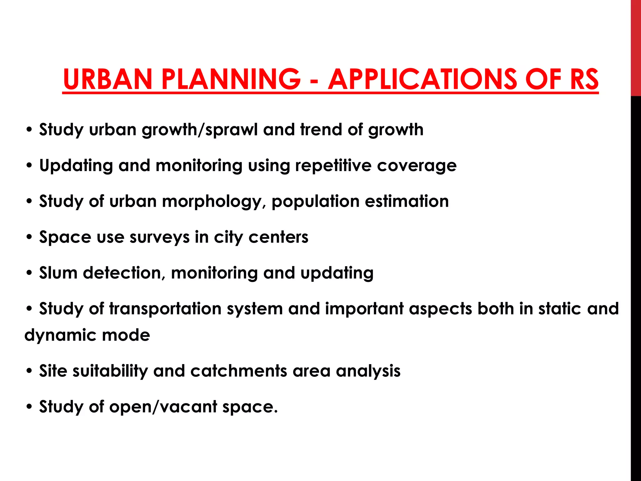
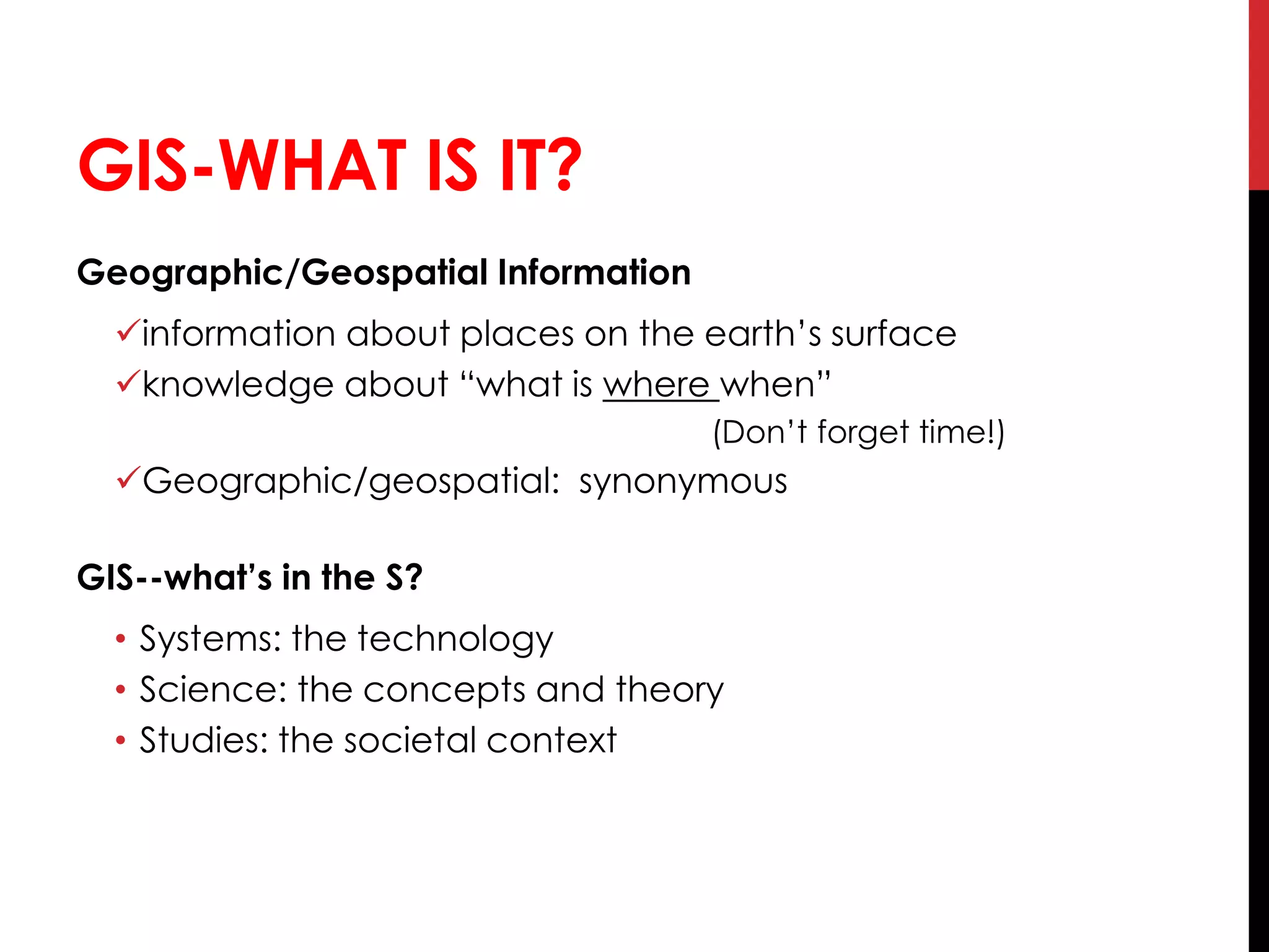
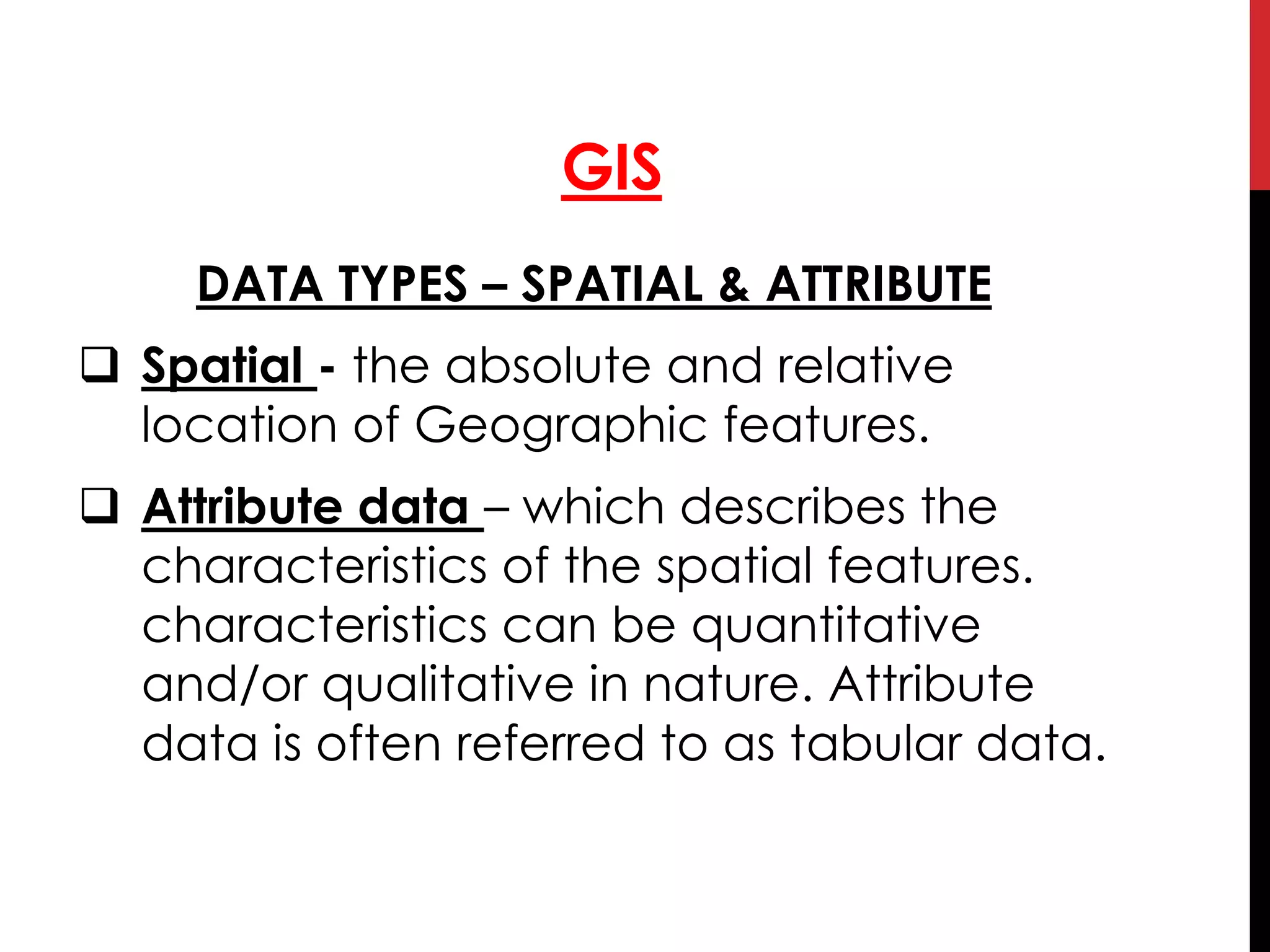
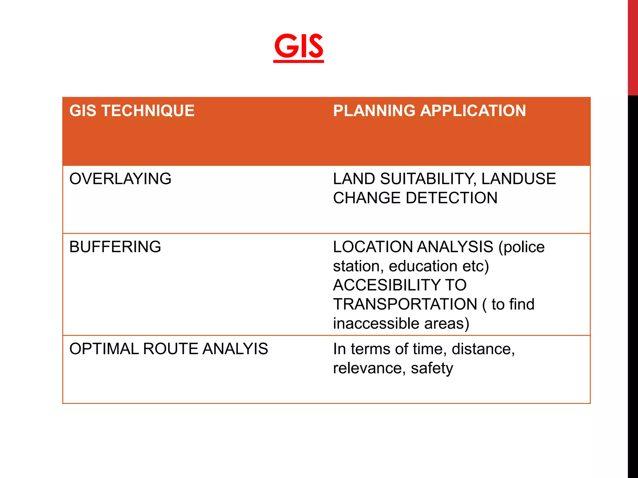
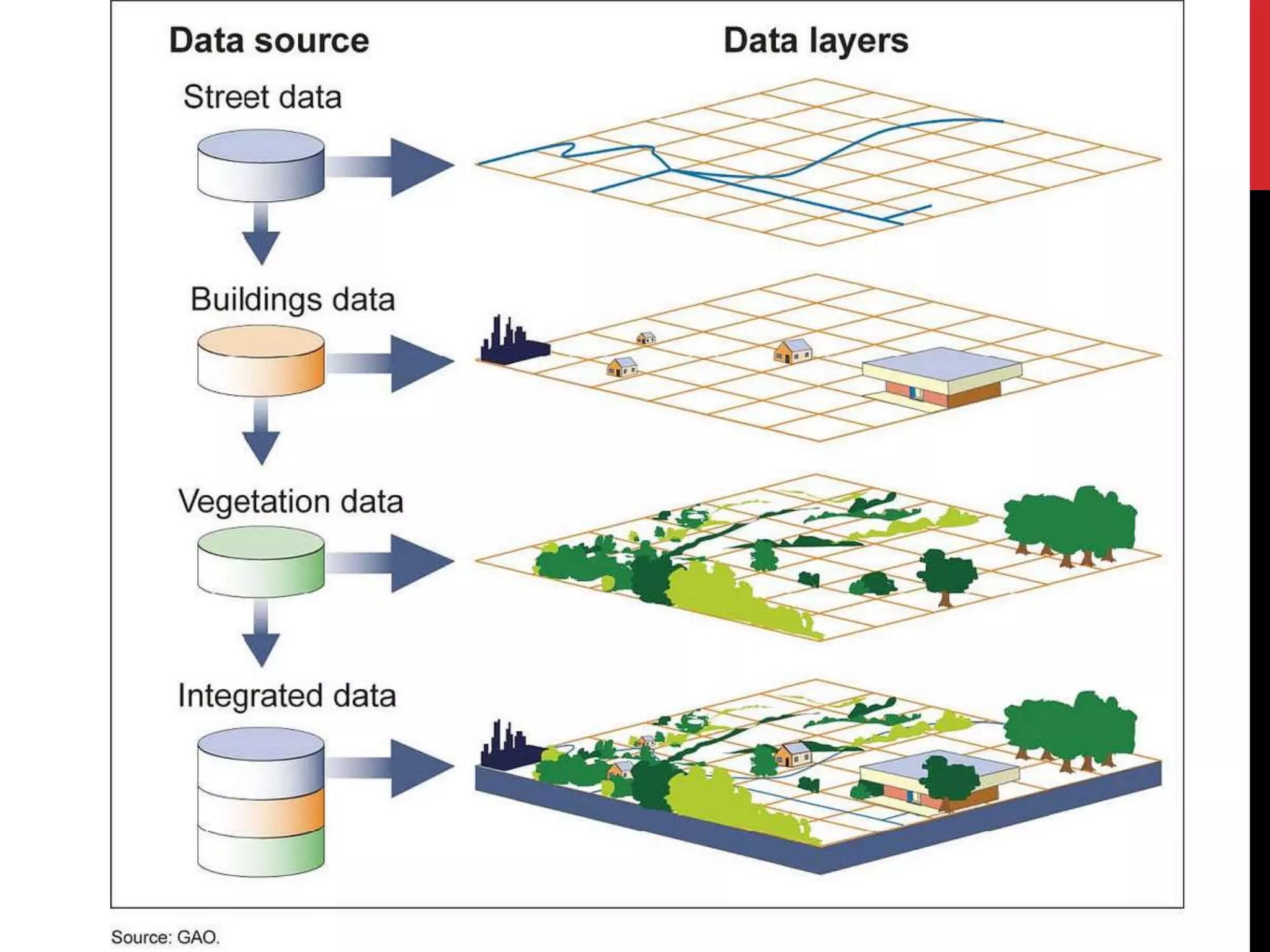
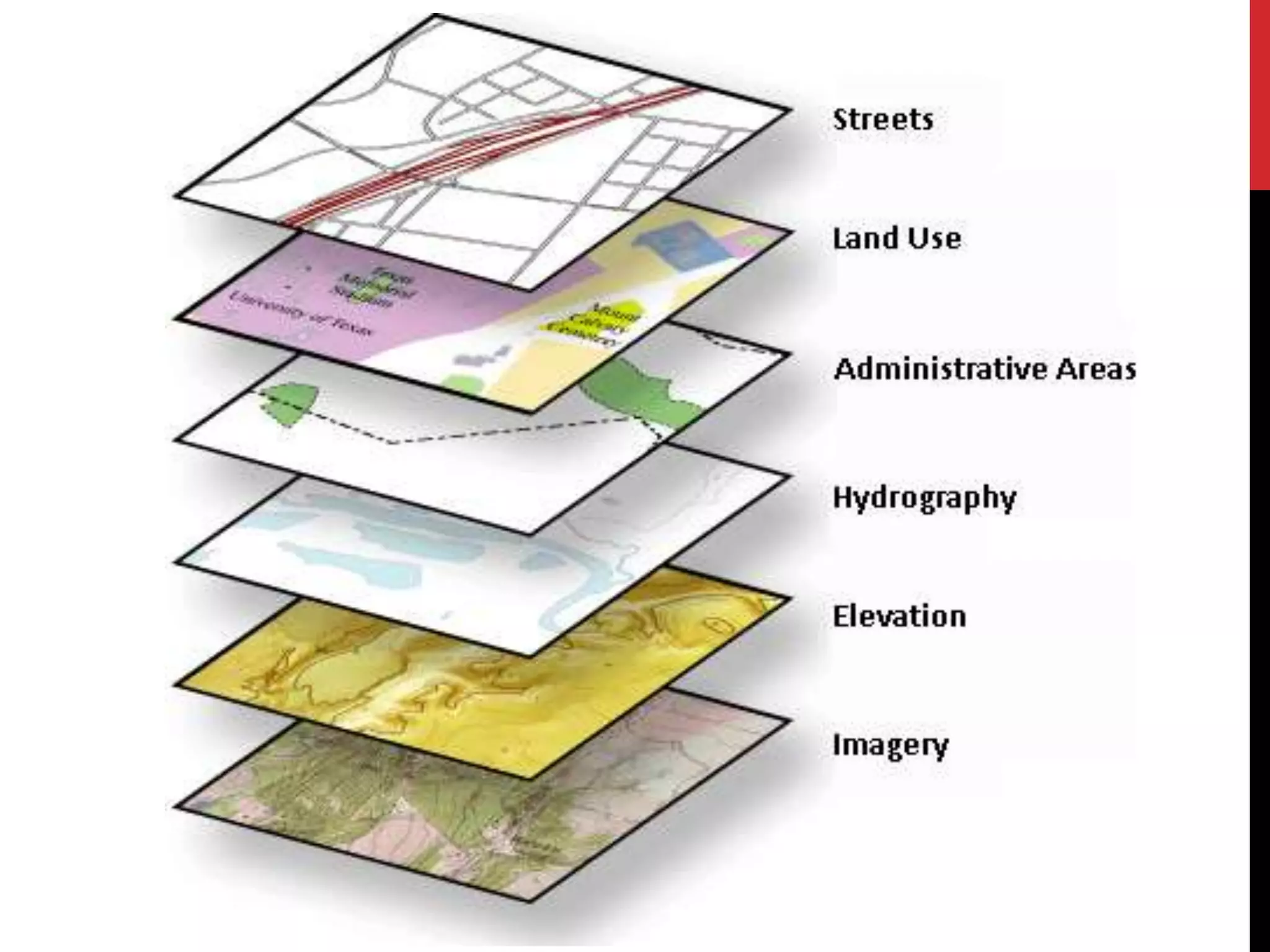
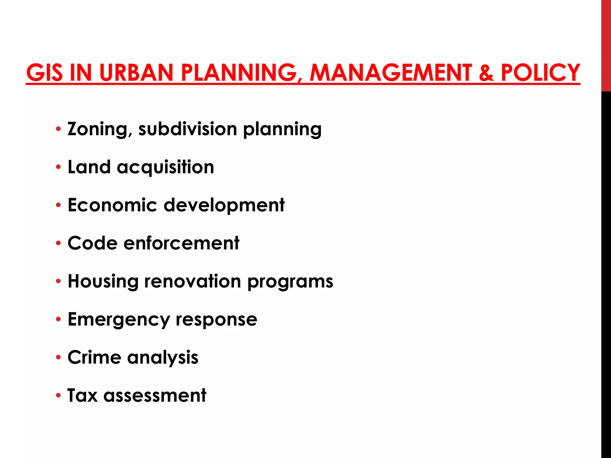
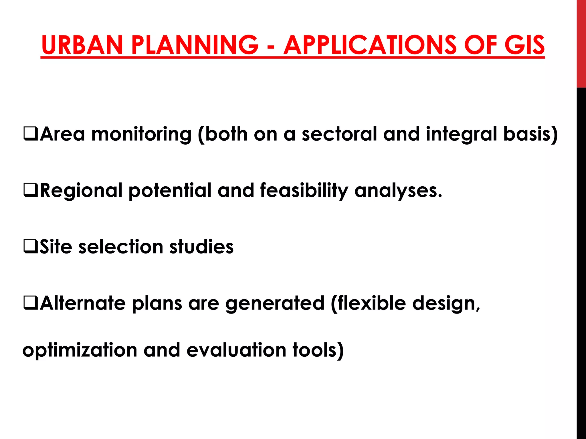
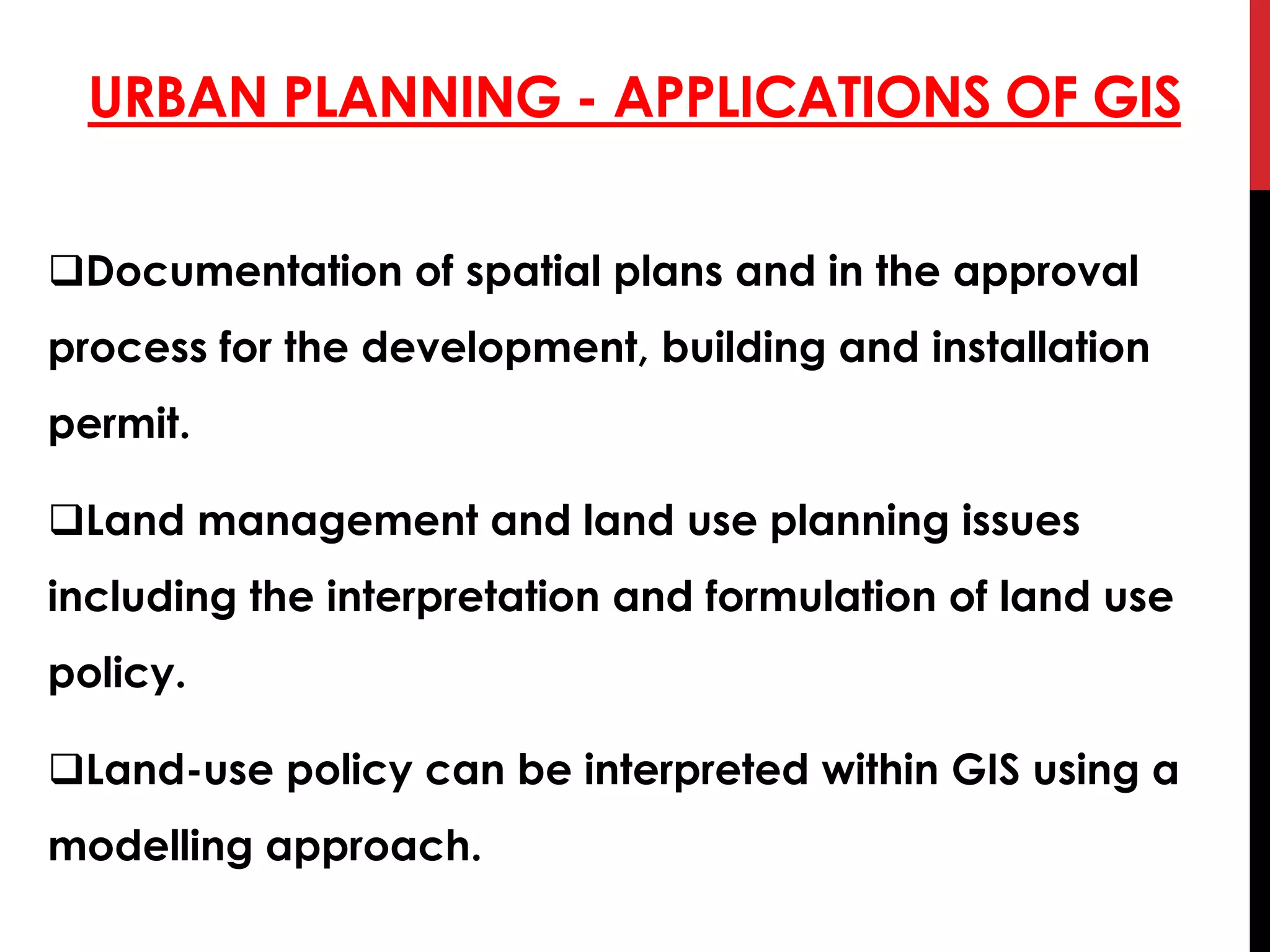
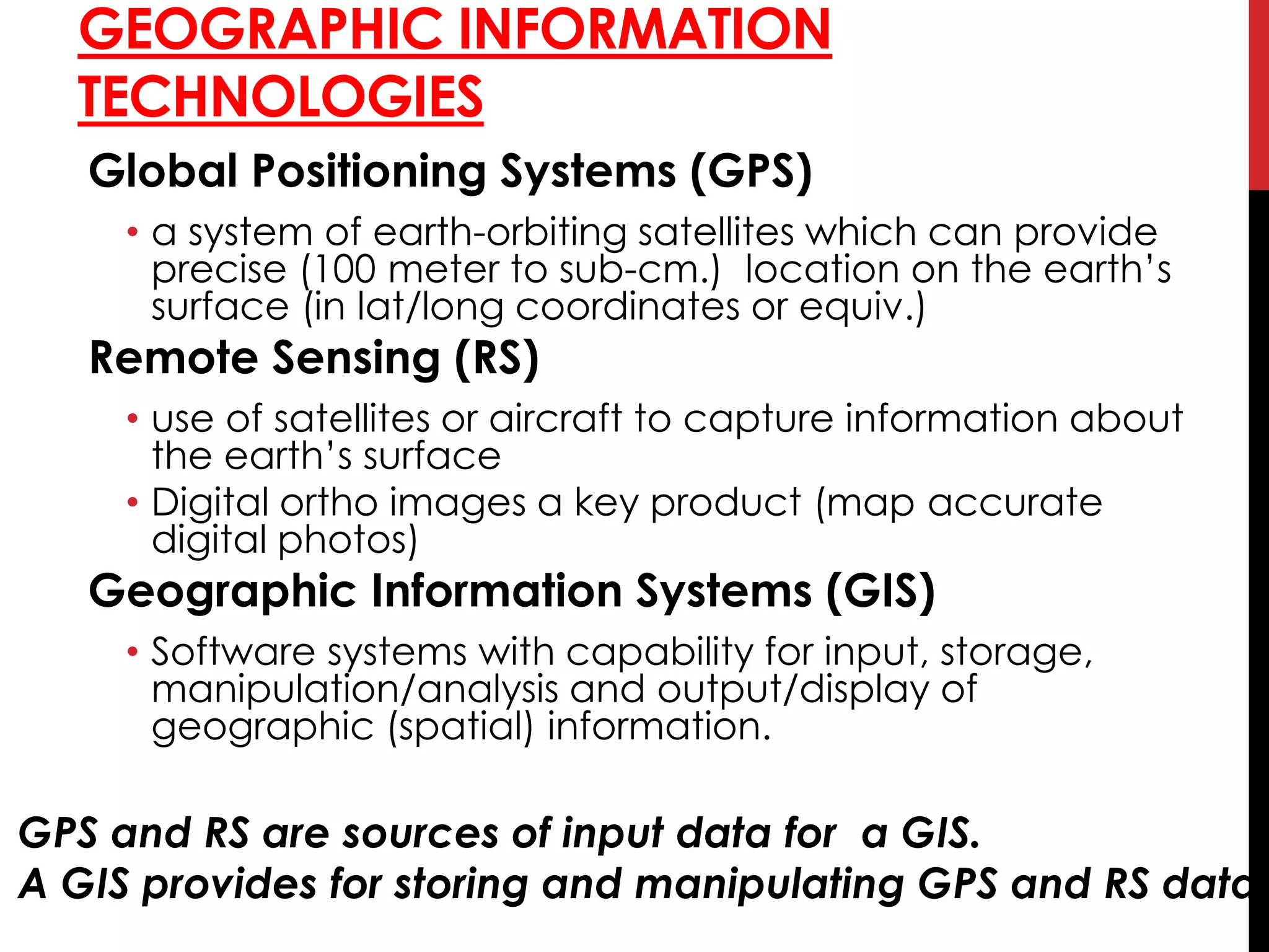
Remote sensing uses sensors aboard satellites or aircraft to acquire spatial, spectral and temporal data about objects without physical contact. This data is digitized and processed into images. GIS is a system that integrates hardware, software and data to capture, store, analyze and display spatial or geographic information. Remote sensing and GIS are useful tools for urban planning applications such as land use/cover mapping, environmental monitoring, updating basemaps, studying urban growth, transportation systems, and site suitability analysis. GIS allows for overlaying of maps, buffering, and route analysis to support zoning, land management, emergency response and other planning needs. Together, remote sensing and GIS provide timely, reliable spatial data and analysis functions for addressing challenges