Downloaded 352 times
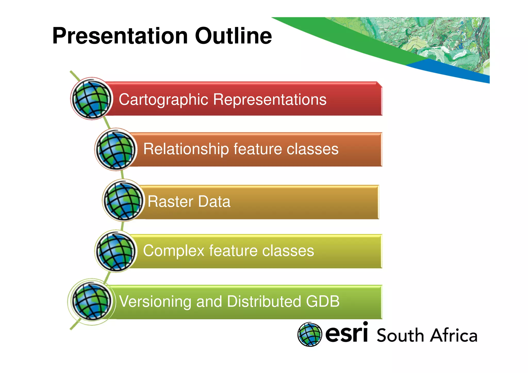
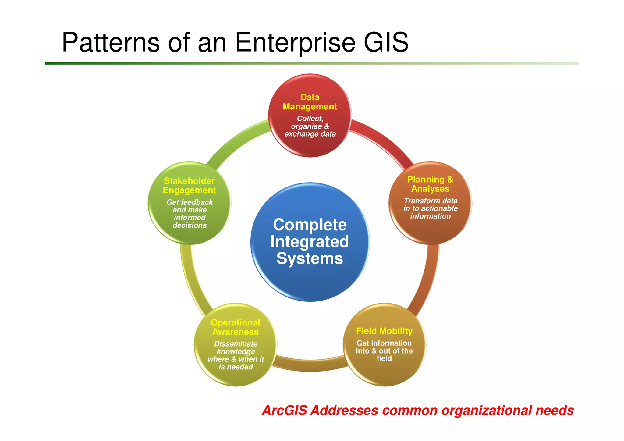
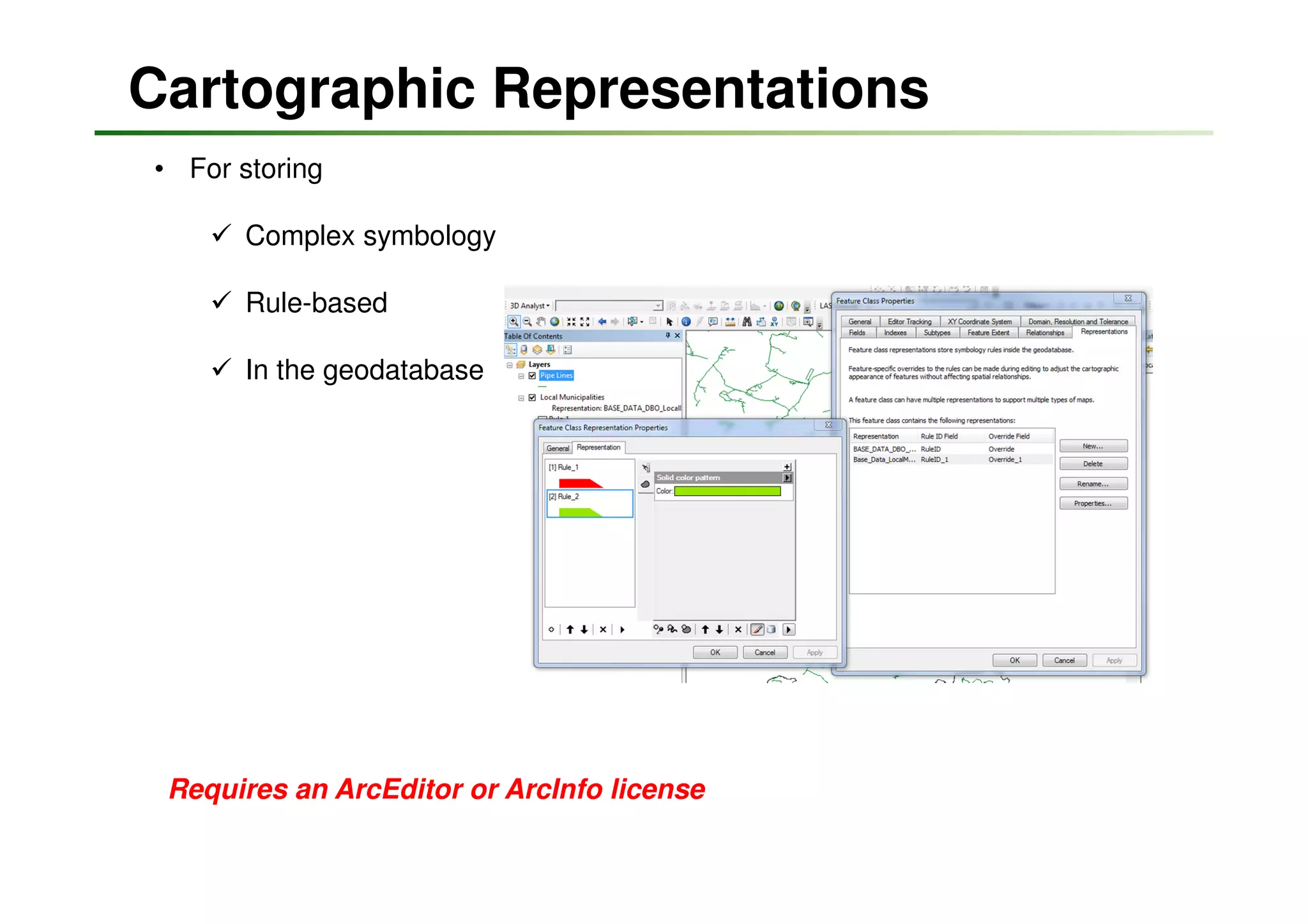
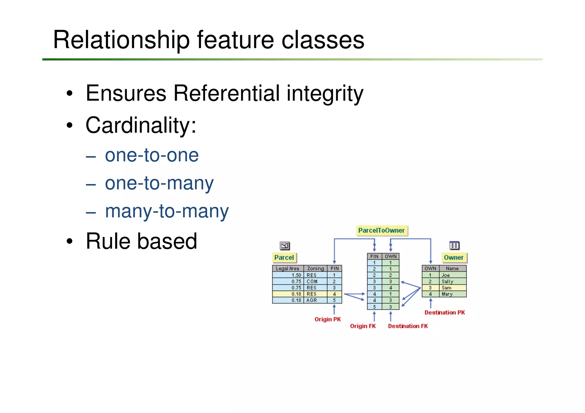

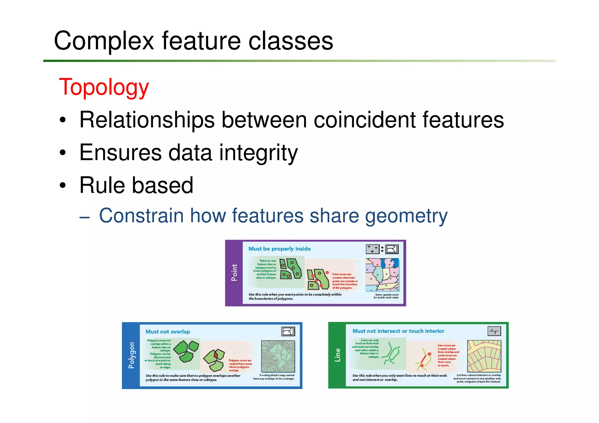
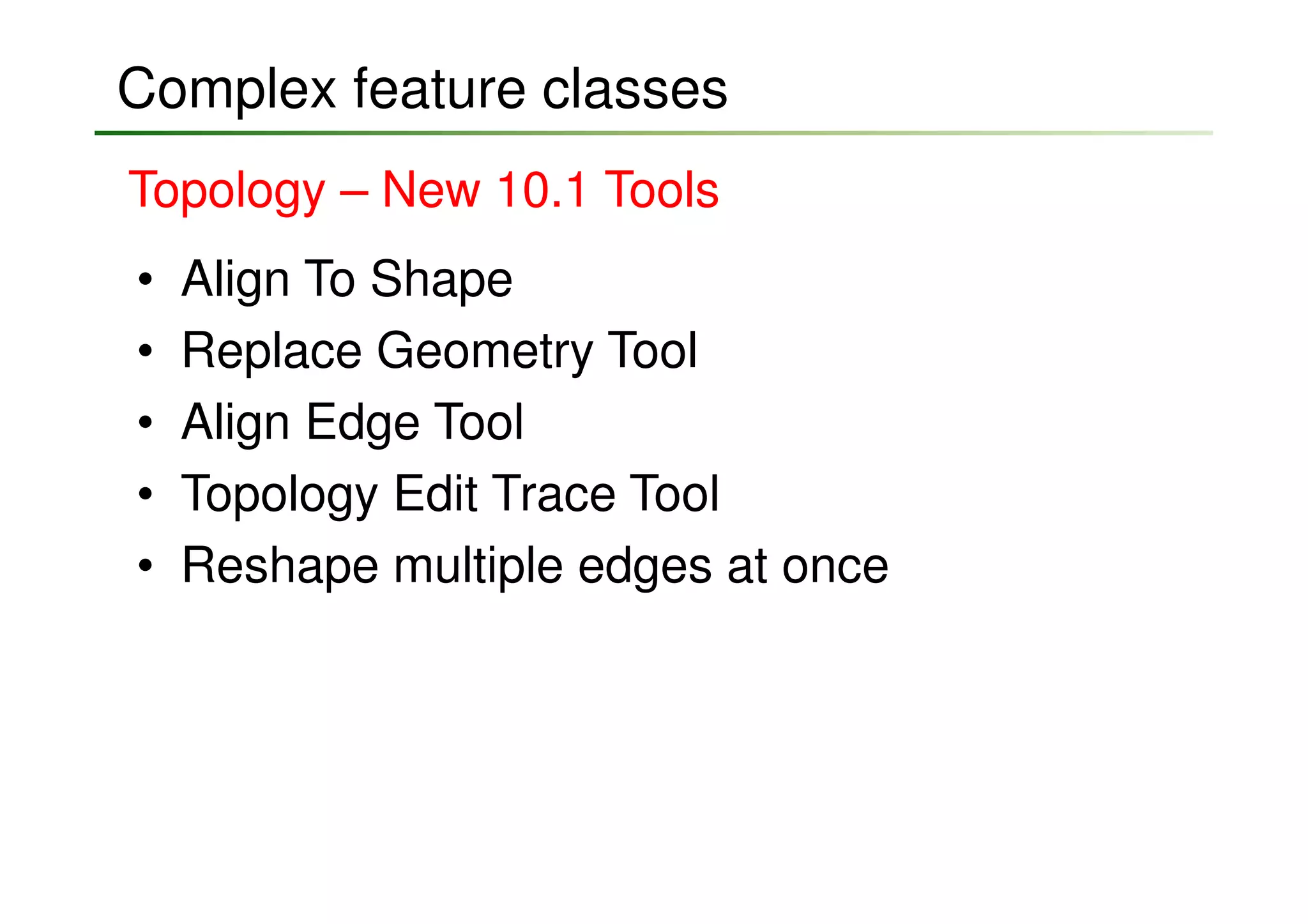
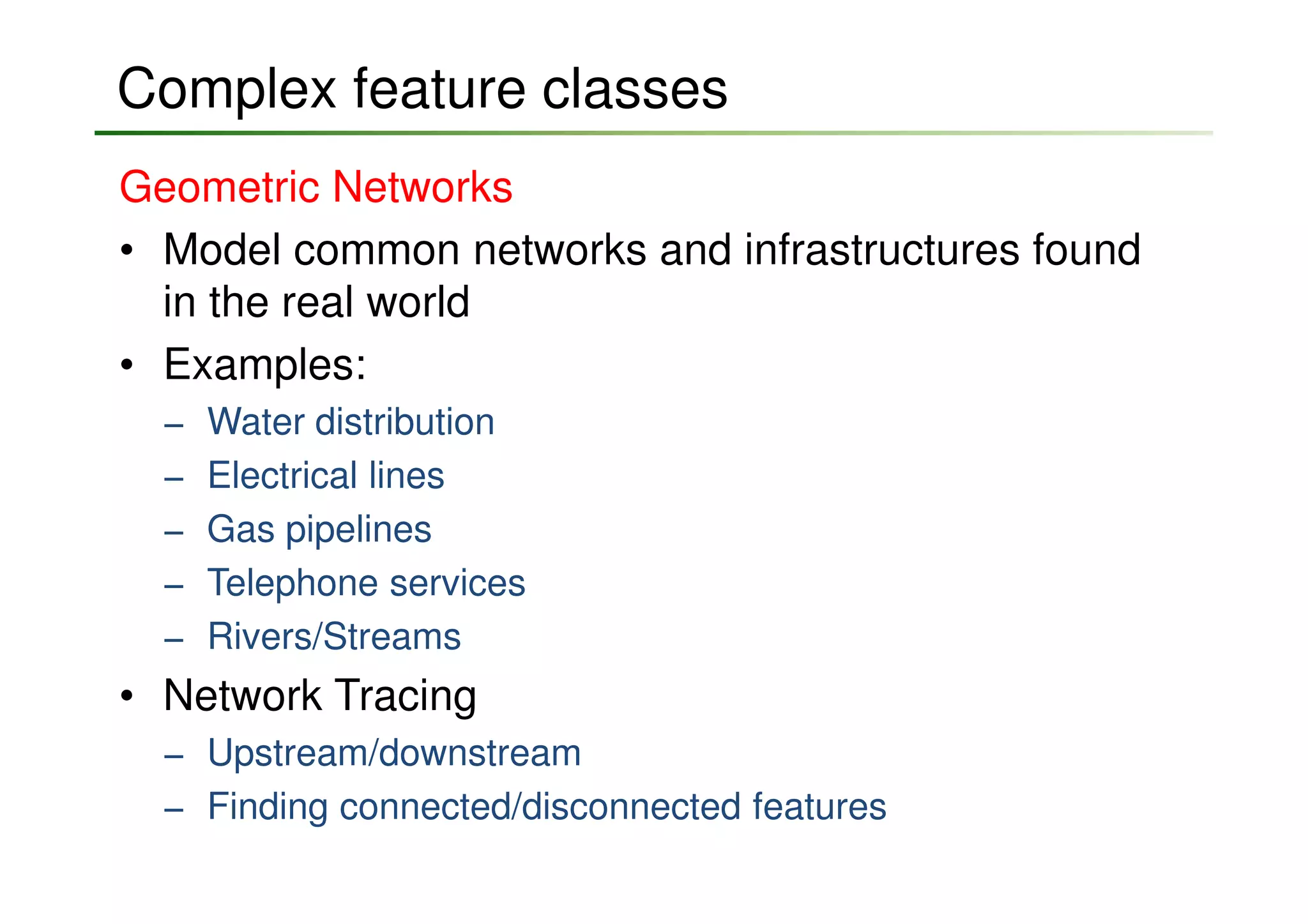

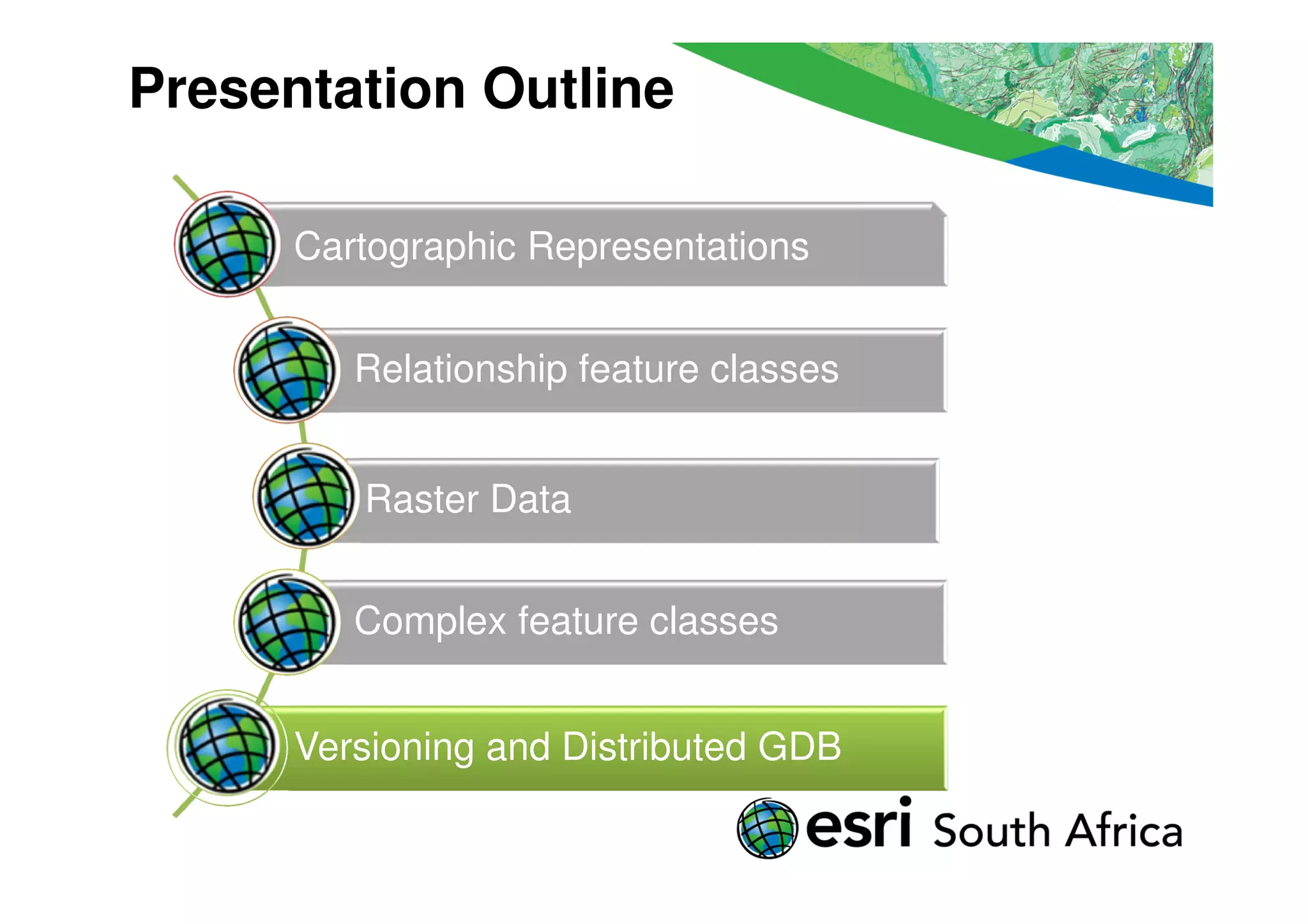
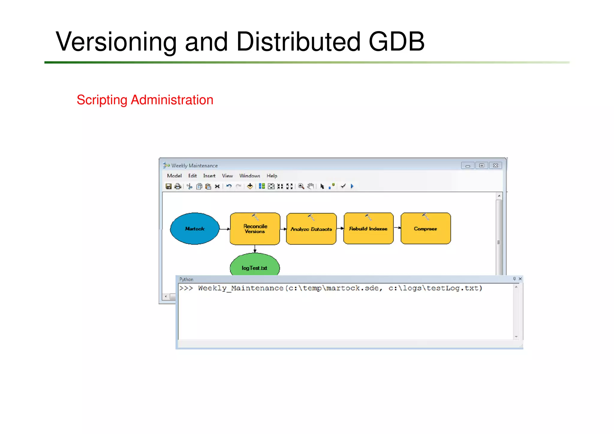
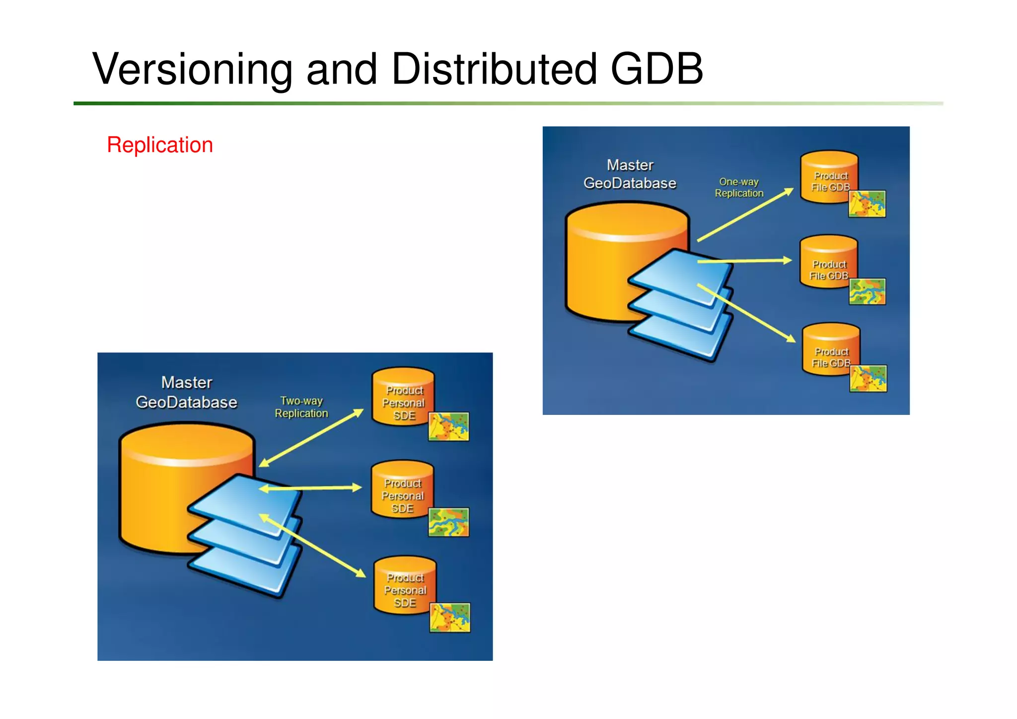
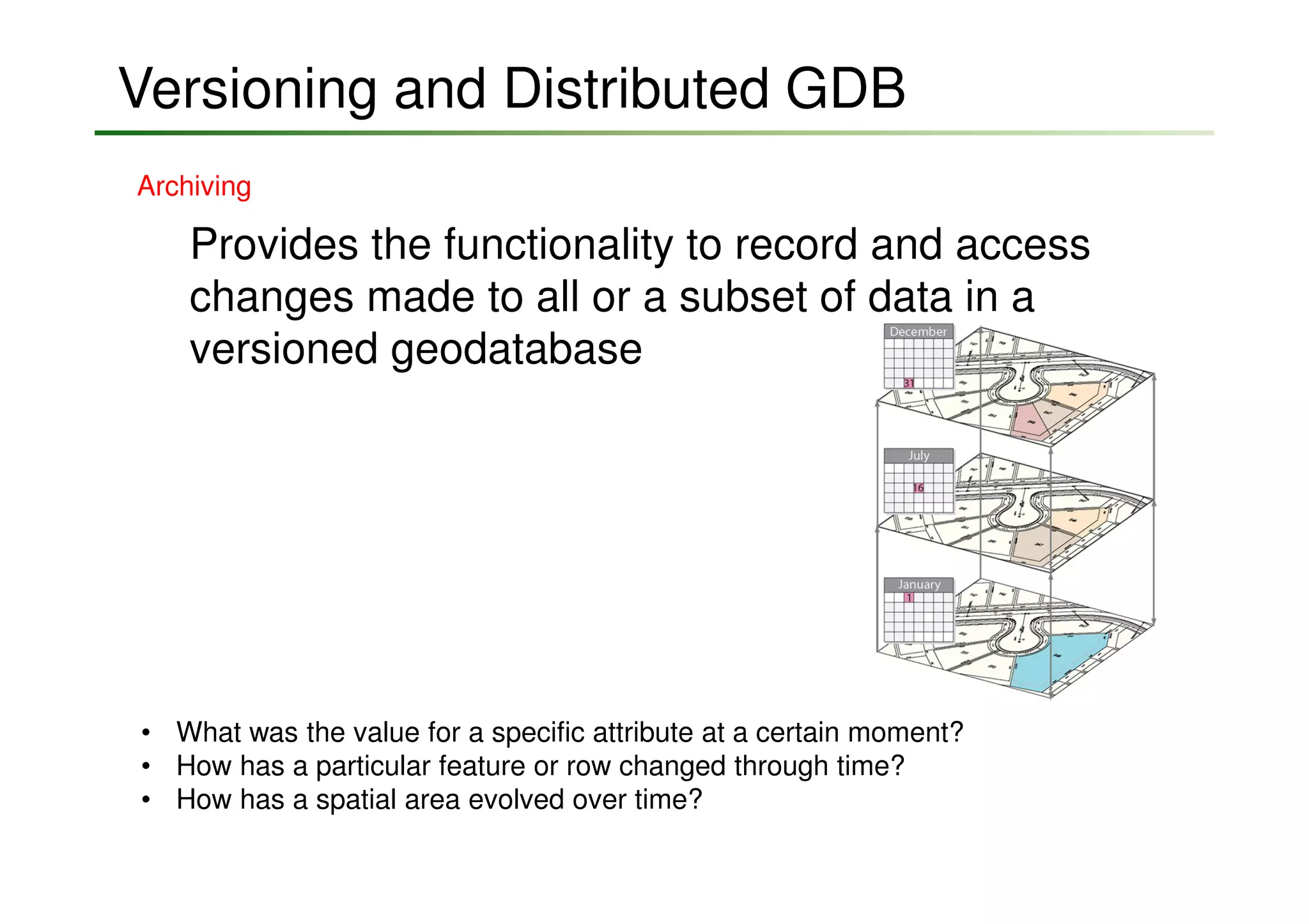


The document outlines the mechanisms of data management in ArcGIS, focusing on geodatabases and their features such as complex feature classes, raster data management, and versioning. It discusses the importance of cartographic representations, data integrity through relationships, and various tools for topology and geometric networks. The presentation emphasizes stakeholder engagement, data transformation into actionable information, and operational awareness for efficient field mobility and decision-making.


![Vibe Coding vs. Spec-Driven Development [Free Meetup]](https://cdn.slidesharecdn.com/ss_thumbnails/vibecodingvsspecdrivendevelopment-251209105622-43f455e7-thumbnail.jpg?width=640&height=640&fit=bounds)


