Downloaded 239 times


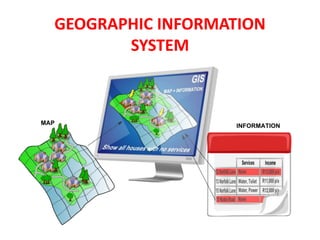
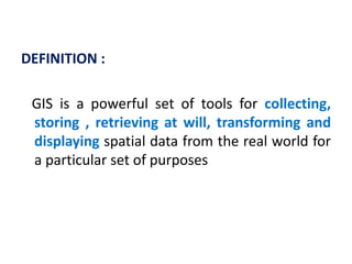
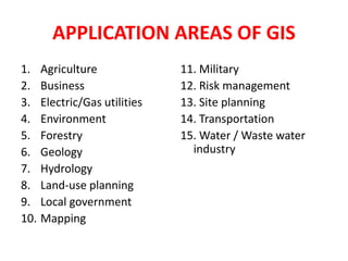
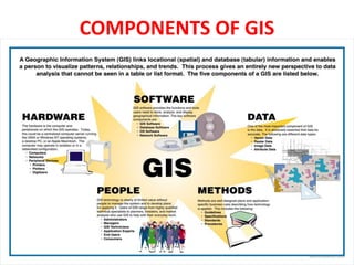
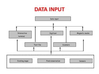
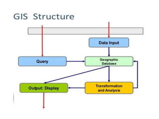
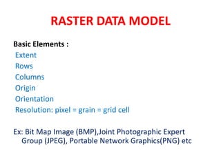
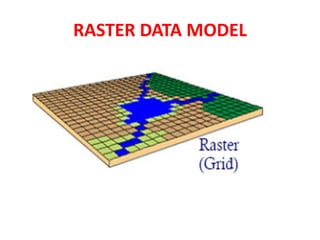
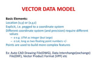
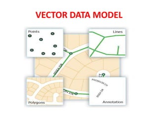

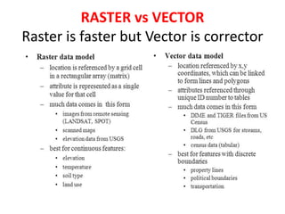
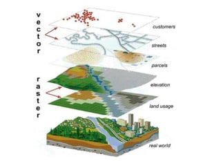
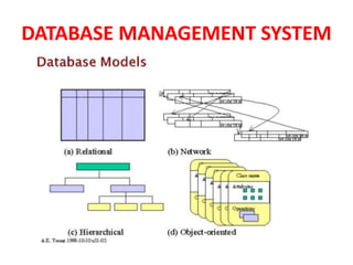

The document provides an introduction to Geographic Information Systems (GIS), outlining its definition, applications across various fields, and components such as data input and spatial data models. It discusses the differences between raster and vector data models, with details on model development, data analysis techniques, and the role of database management systems in storing and managing GIS data. Key operations and advantages of GIS are also highlighted, emphasizing its capability to integrate diverse information sources.