Downloaded 434 times

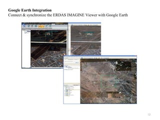
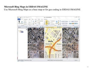
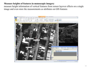
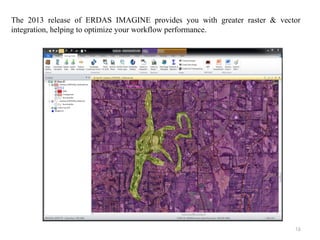


ERDAS IMAGINE is a remote sensing image processing software that allows users to import imagery from satellite and aerial platforms and extract useful geospatial information. It has three product tiers - Essentials, Advantage, and Professional - that scale in functionality. The software also includes additional specialized modules like Virtual GIS and Radar Mapping Suite. ERDAS IMAGINE enables tasks like land cover classification, camera placement, integration with Google Earth and Bing Maps, measurement of vertical features, map report generation, and flood modeling.


