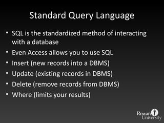
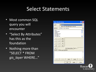
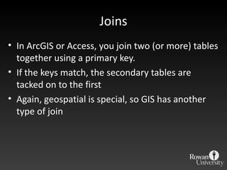
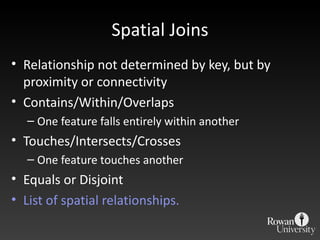
Downloaded 333 times

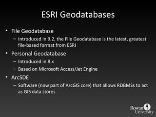
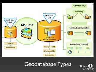
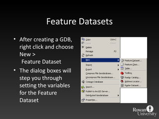
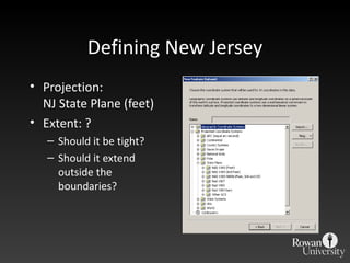
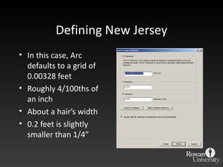
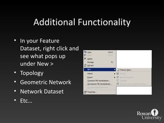
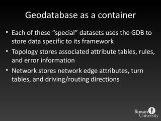
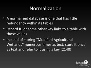
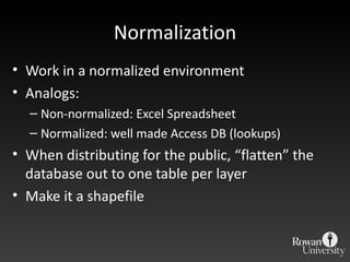
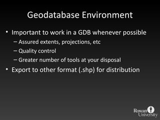


The document discusses different geodatabase formats and their benefits. It explains that geodatabases store geospatial and attribute data together, unlike shapefiles. The main geodatabase types are file geodatabases, personal geodatabases, and ArcSDE geodatabases. Feature datasets are used to define projections, extents and other rules within a geodatabase. Additional functionality includes topology, networks and normalization.