
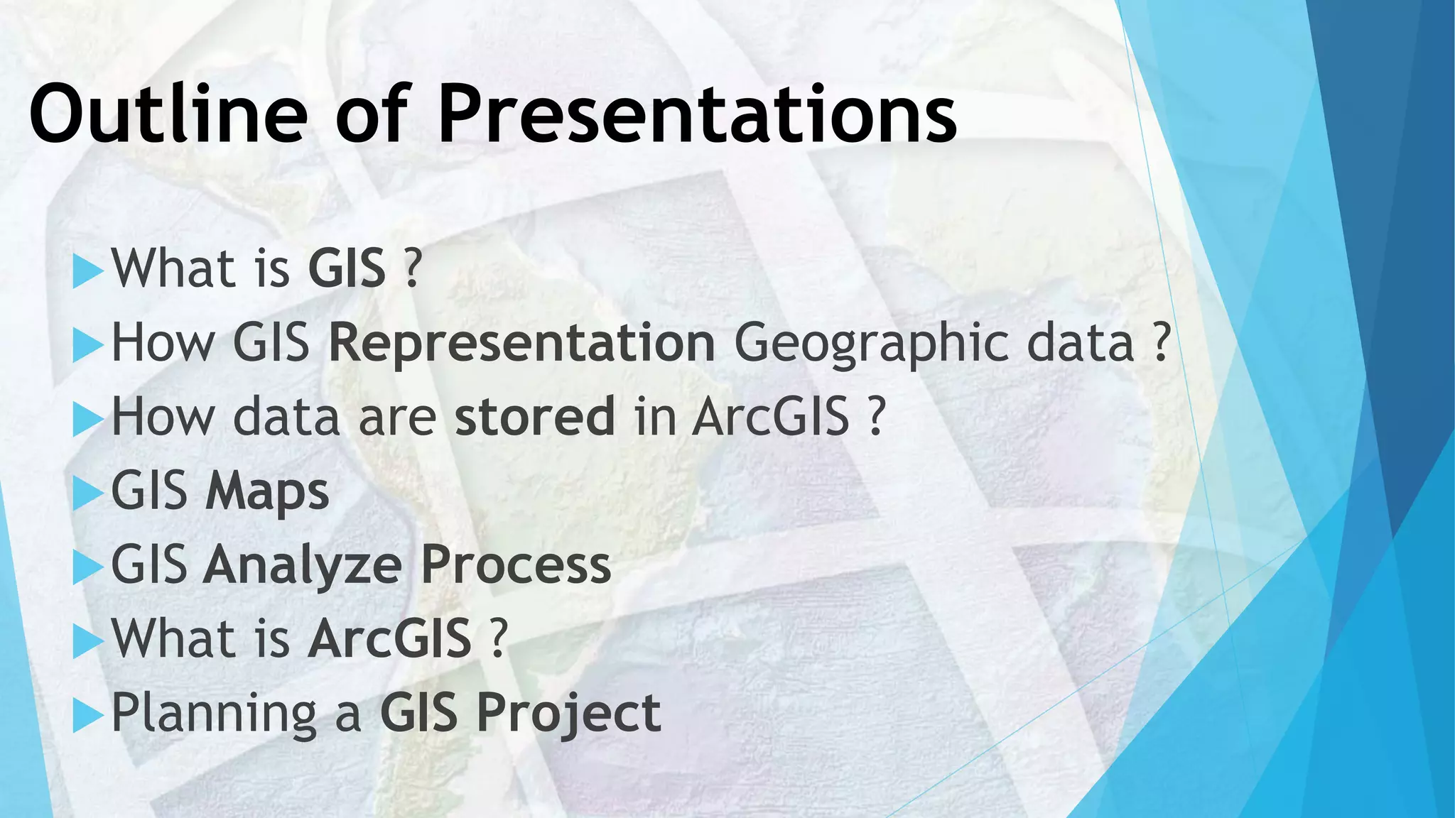
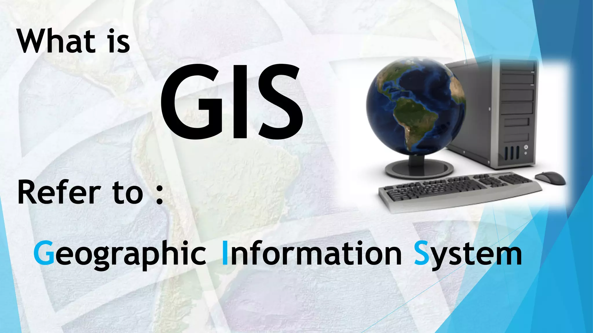
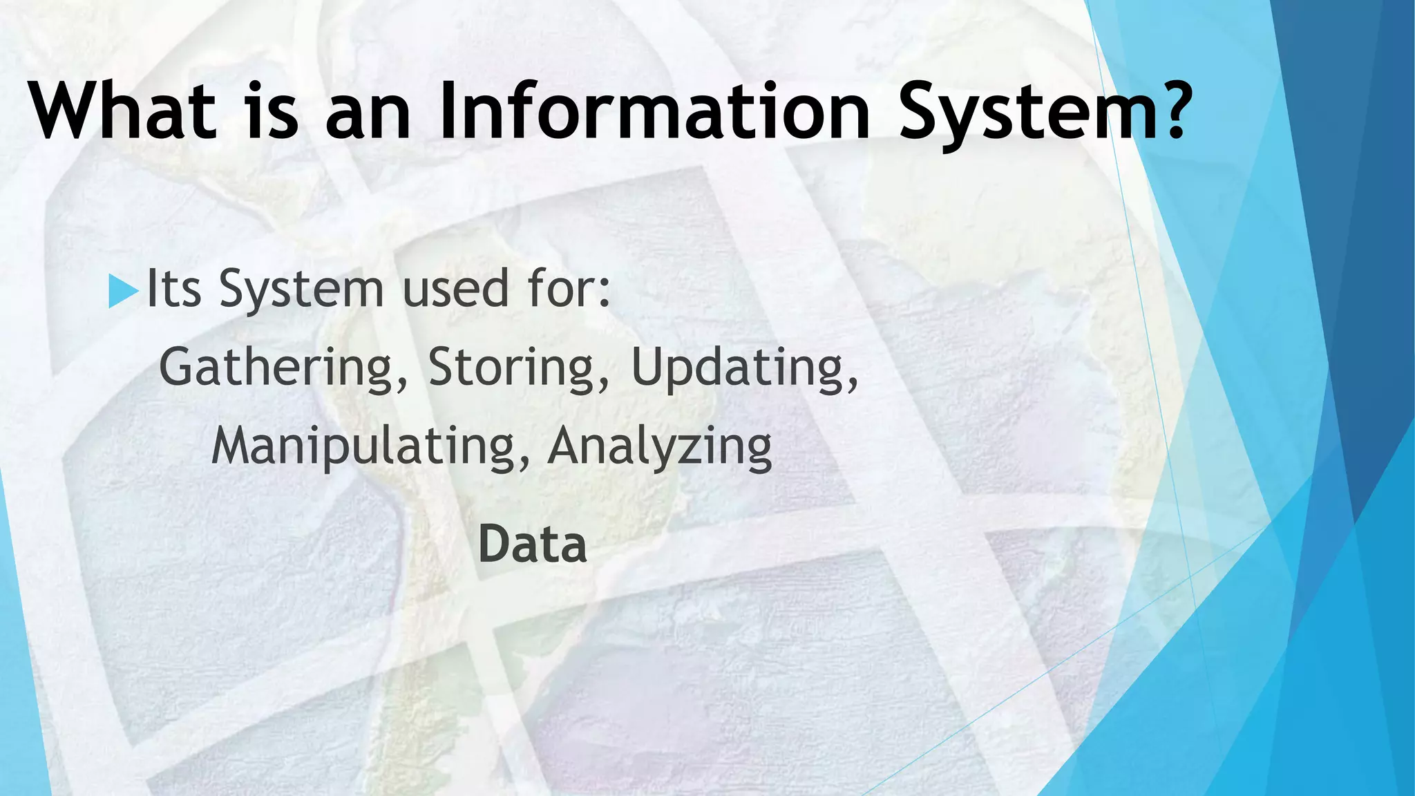
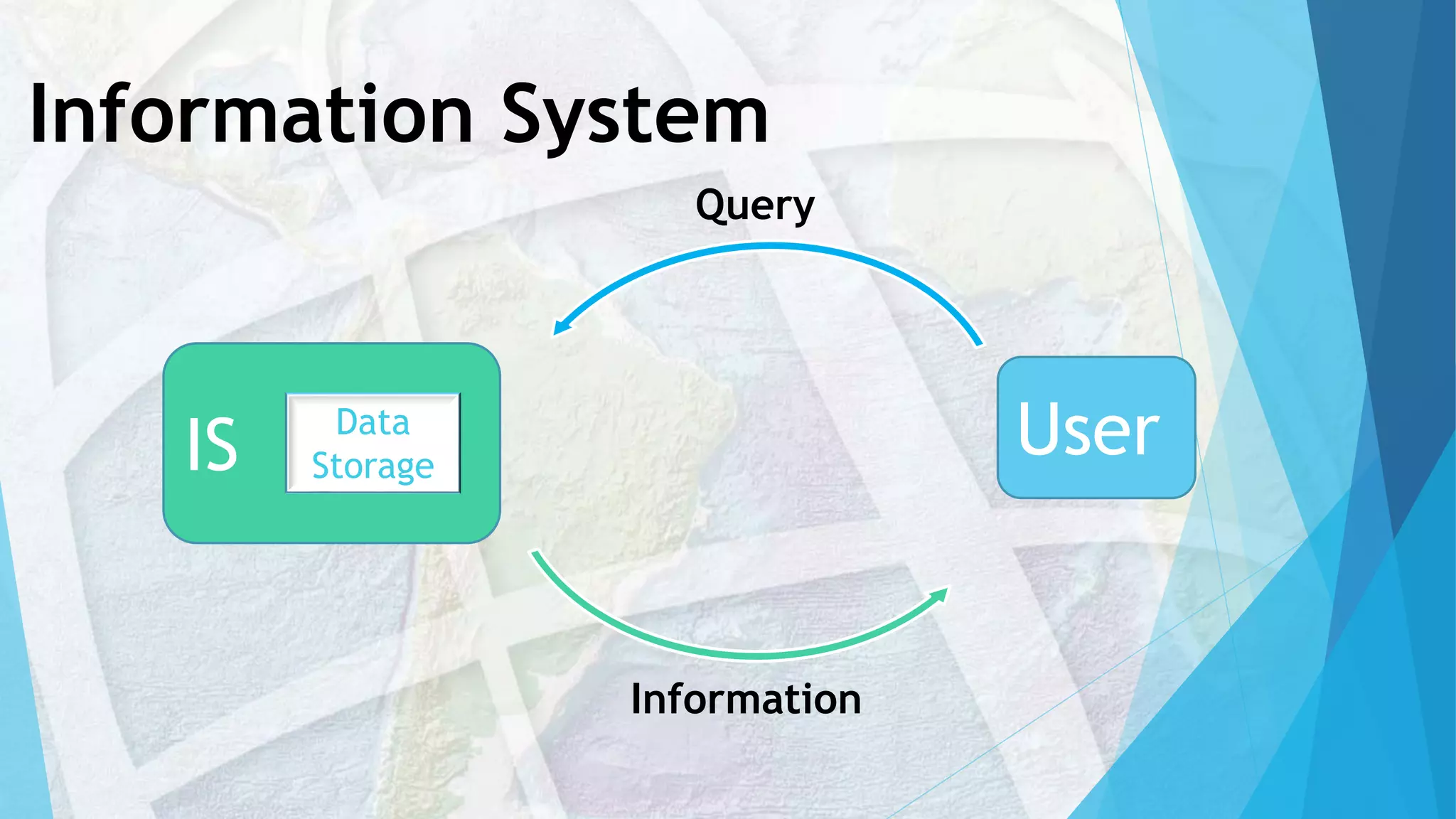

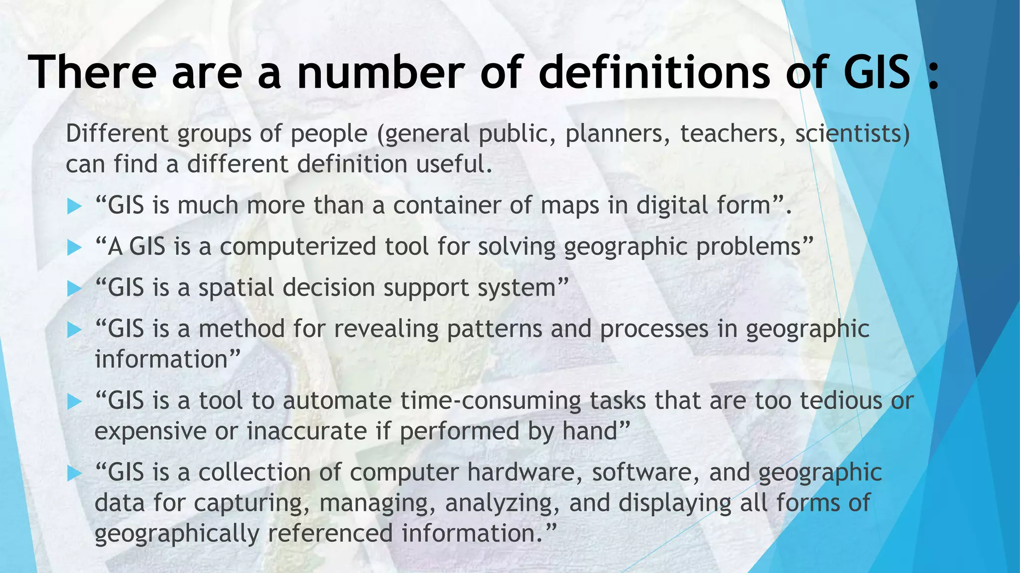
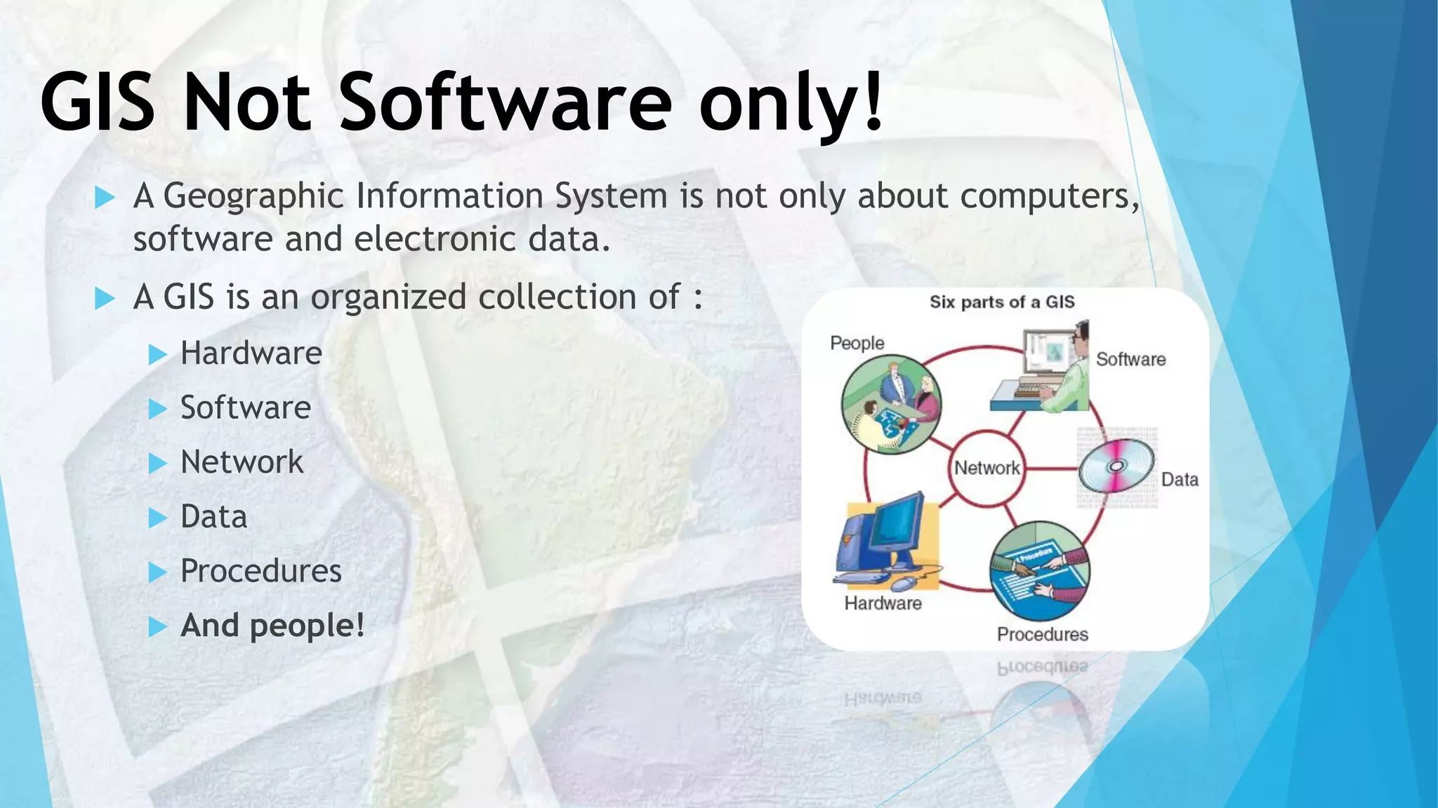
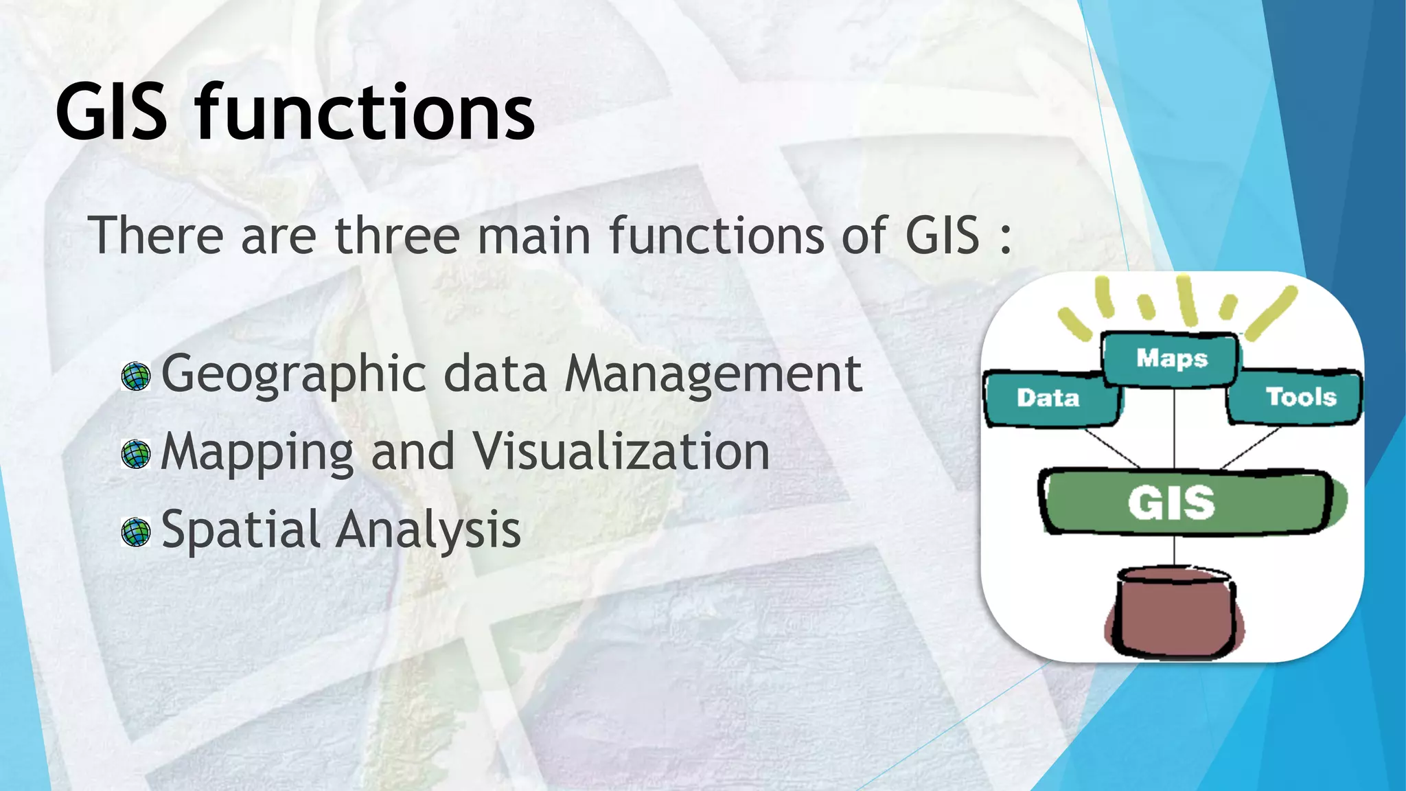

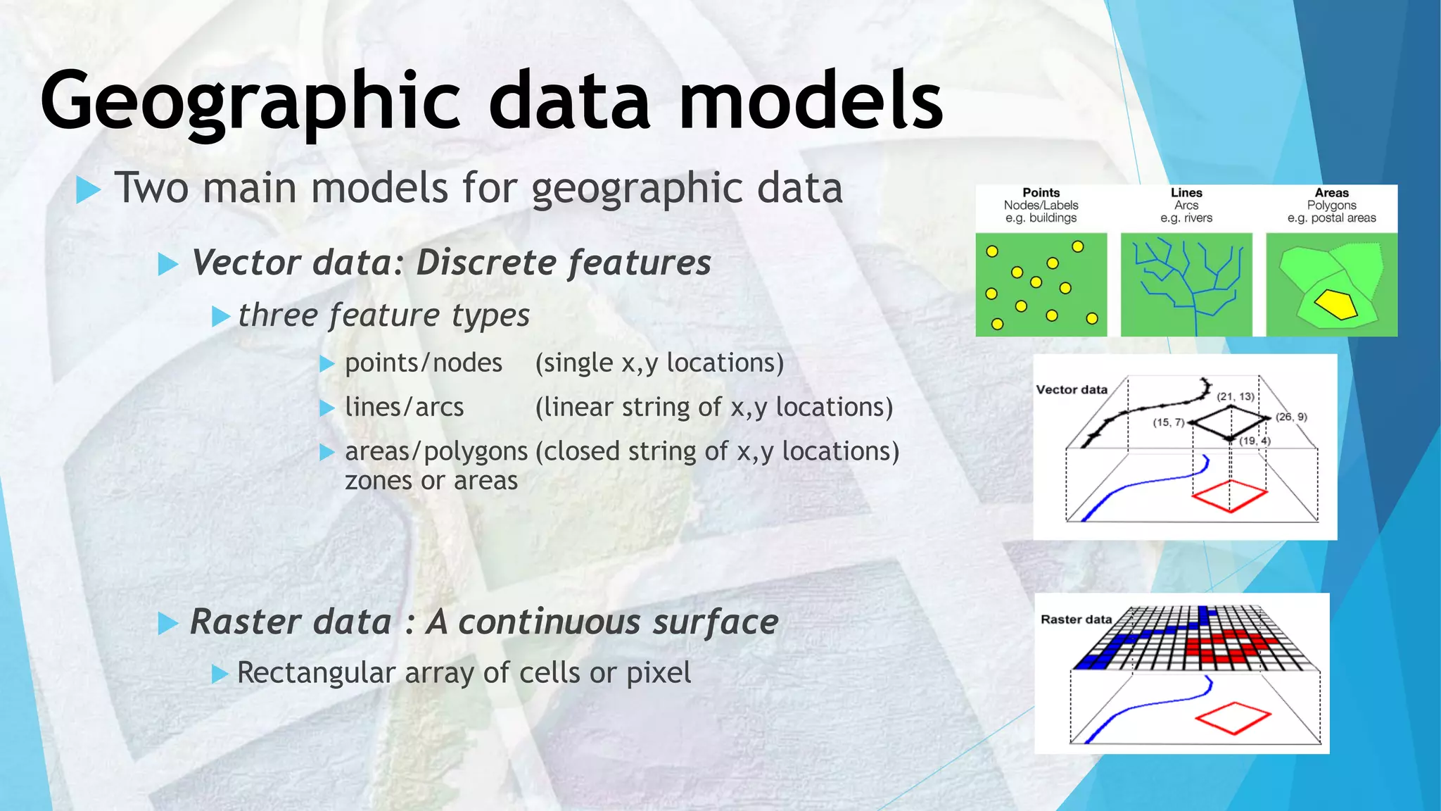

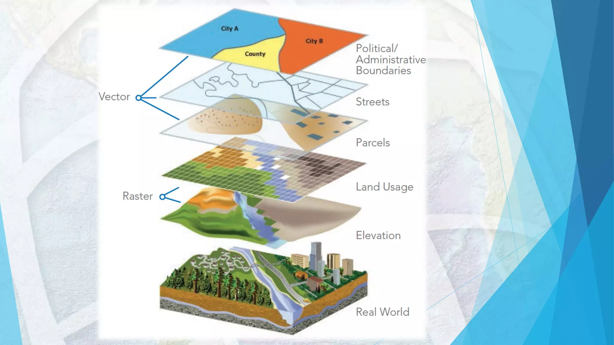

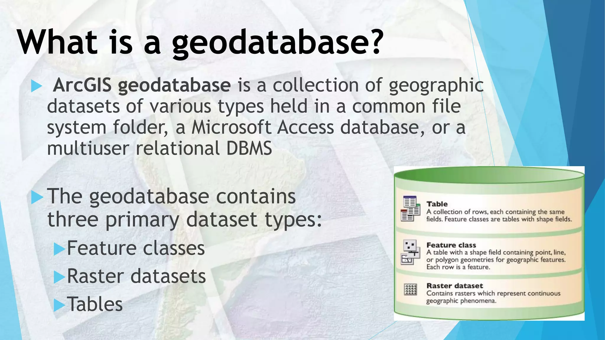

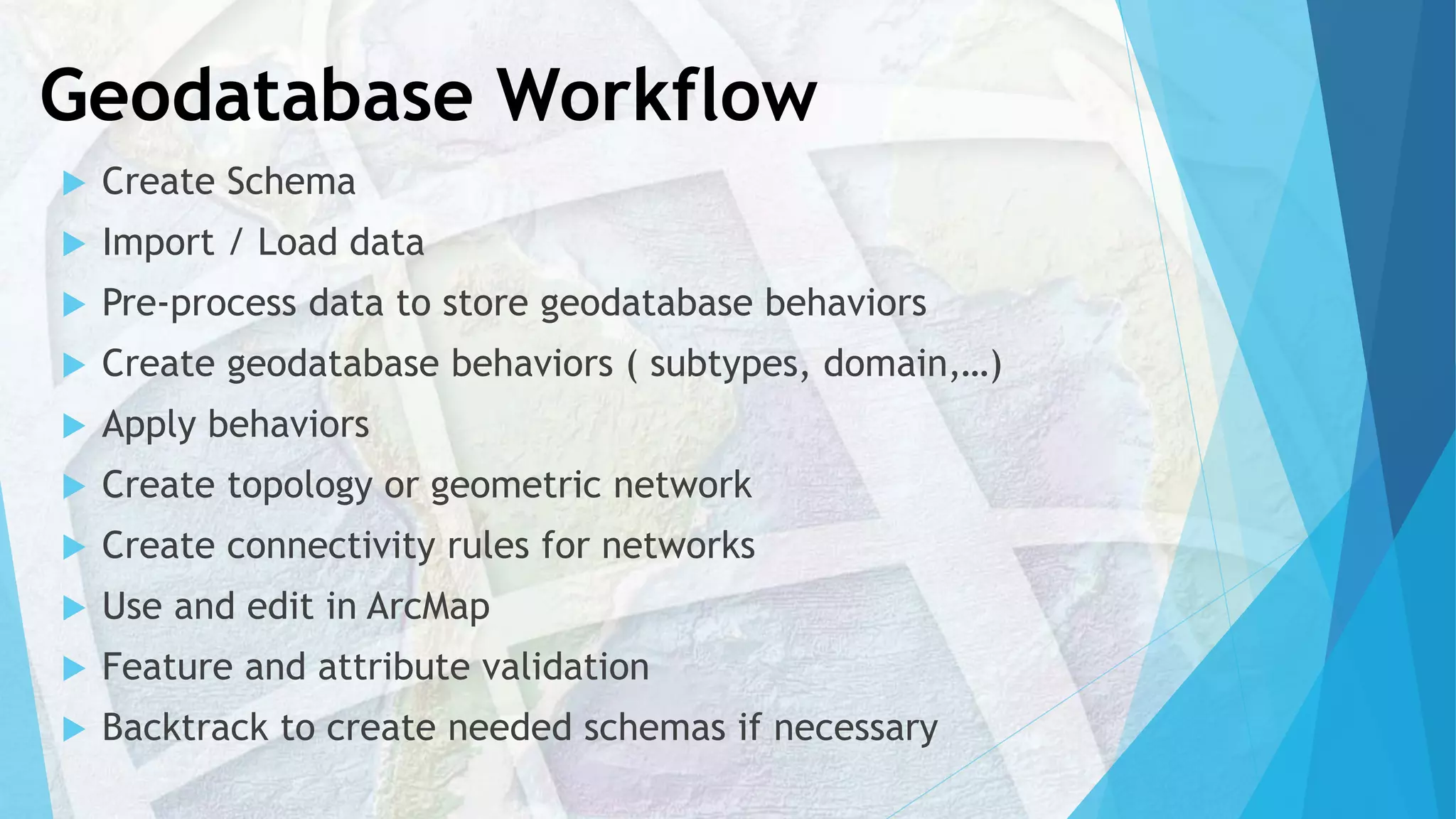
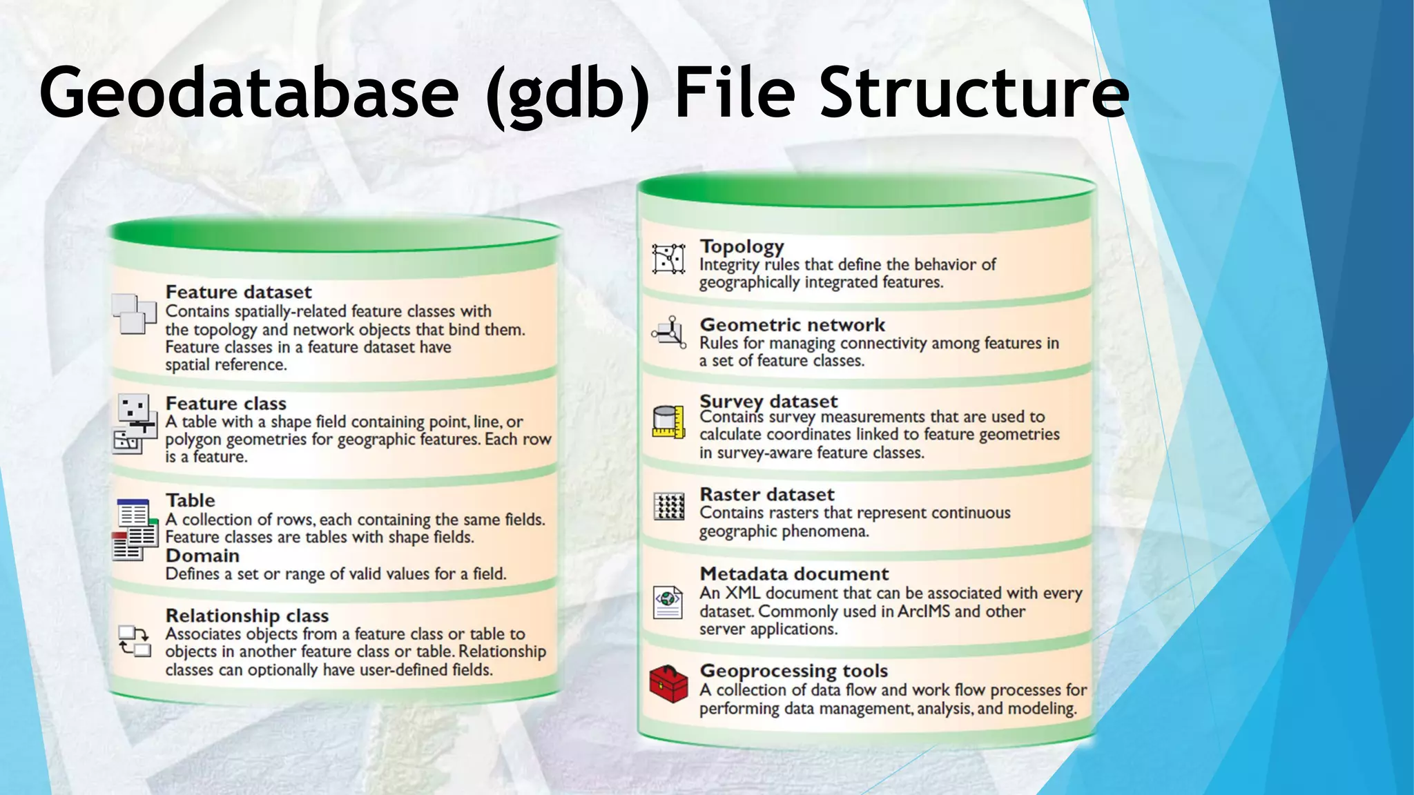
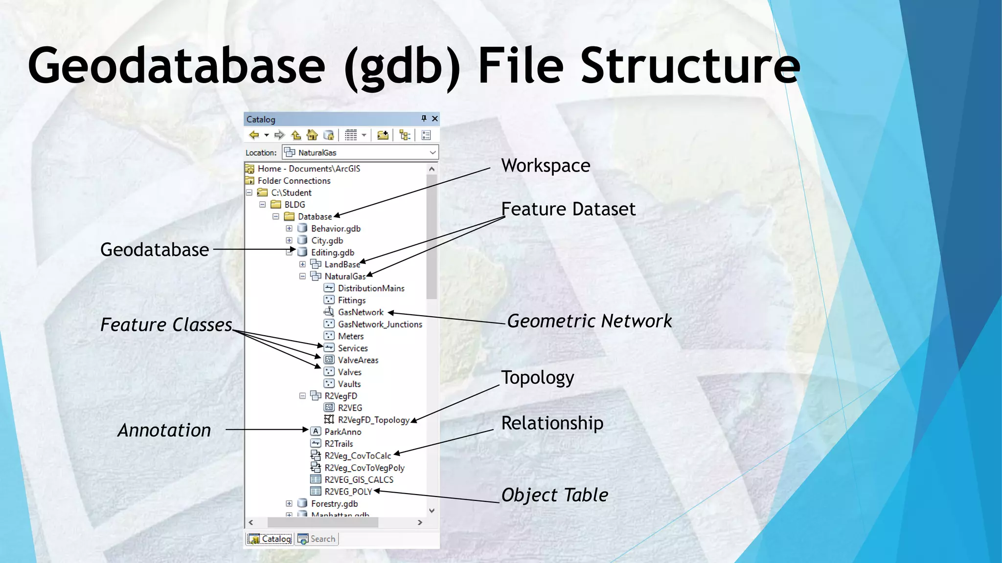

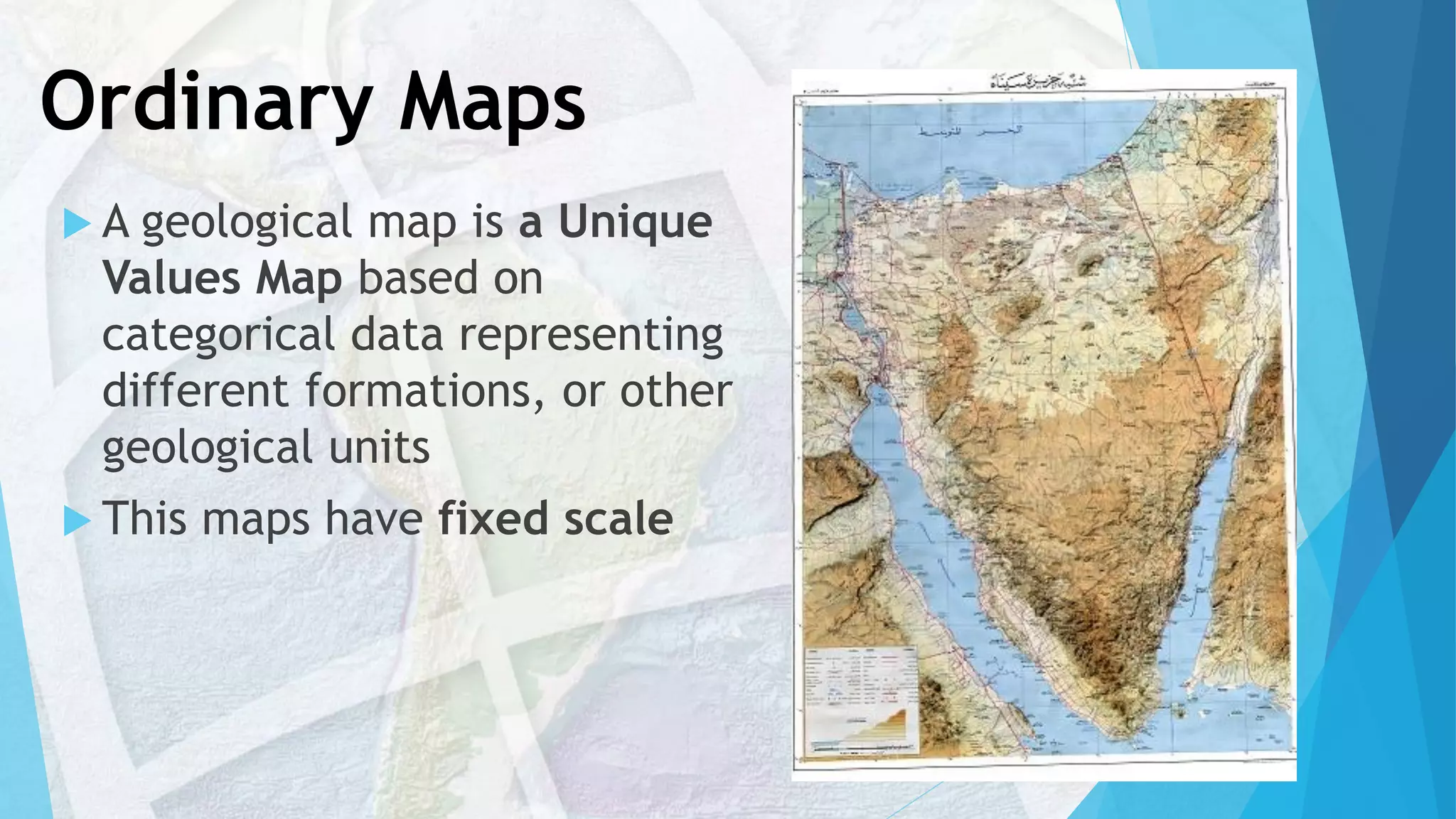

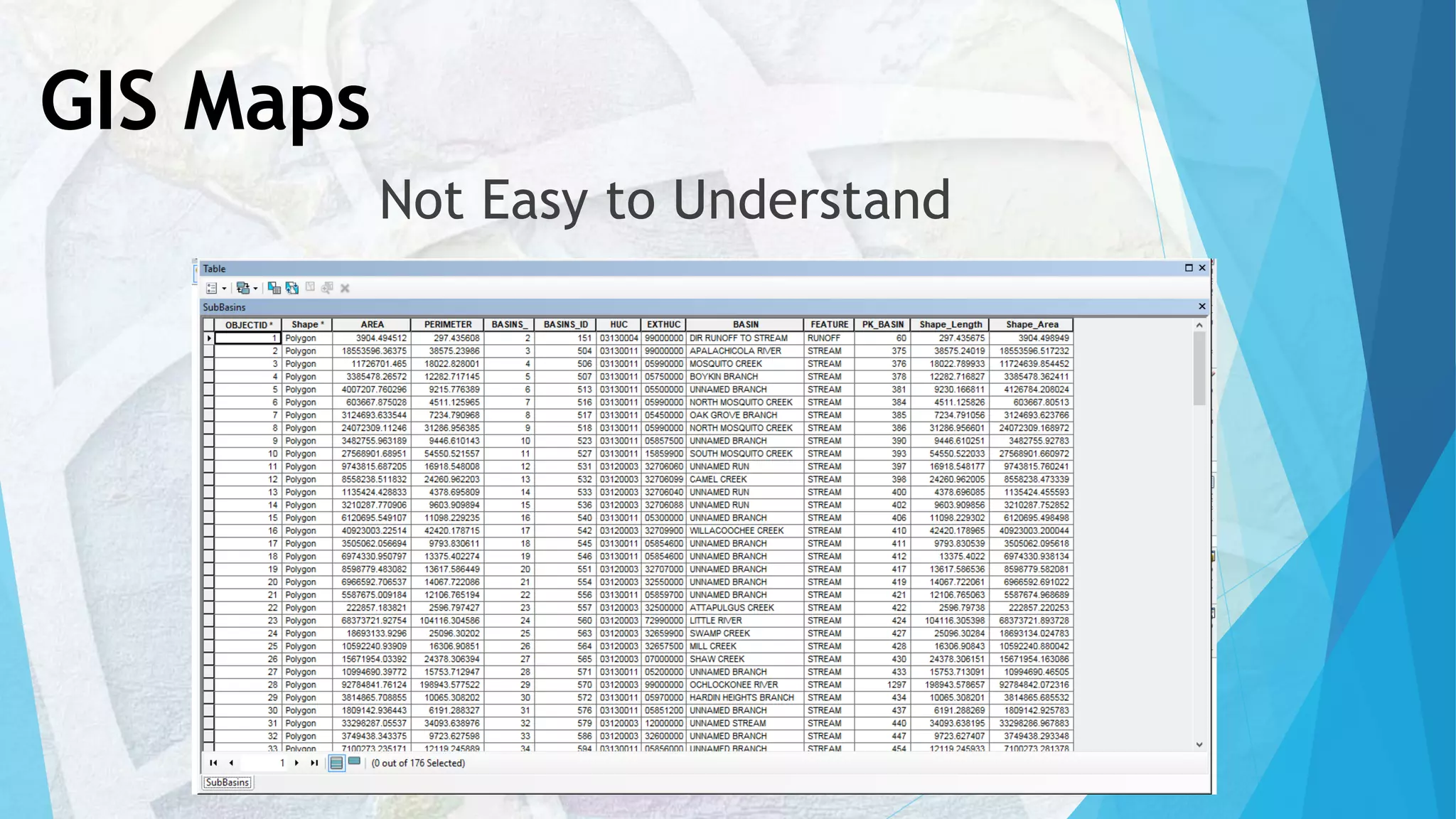
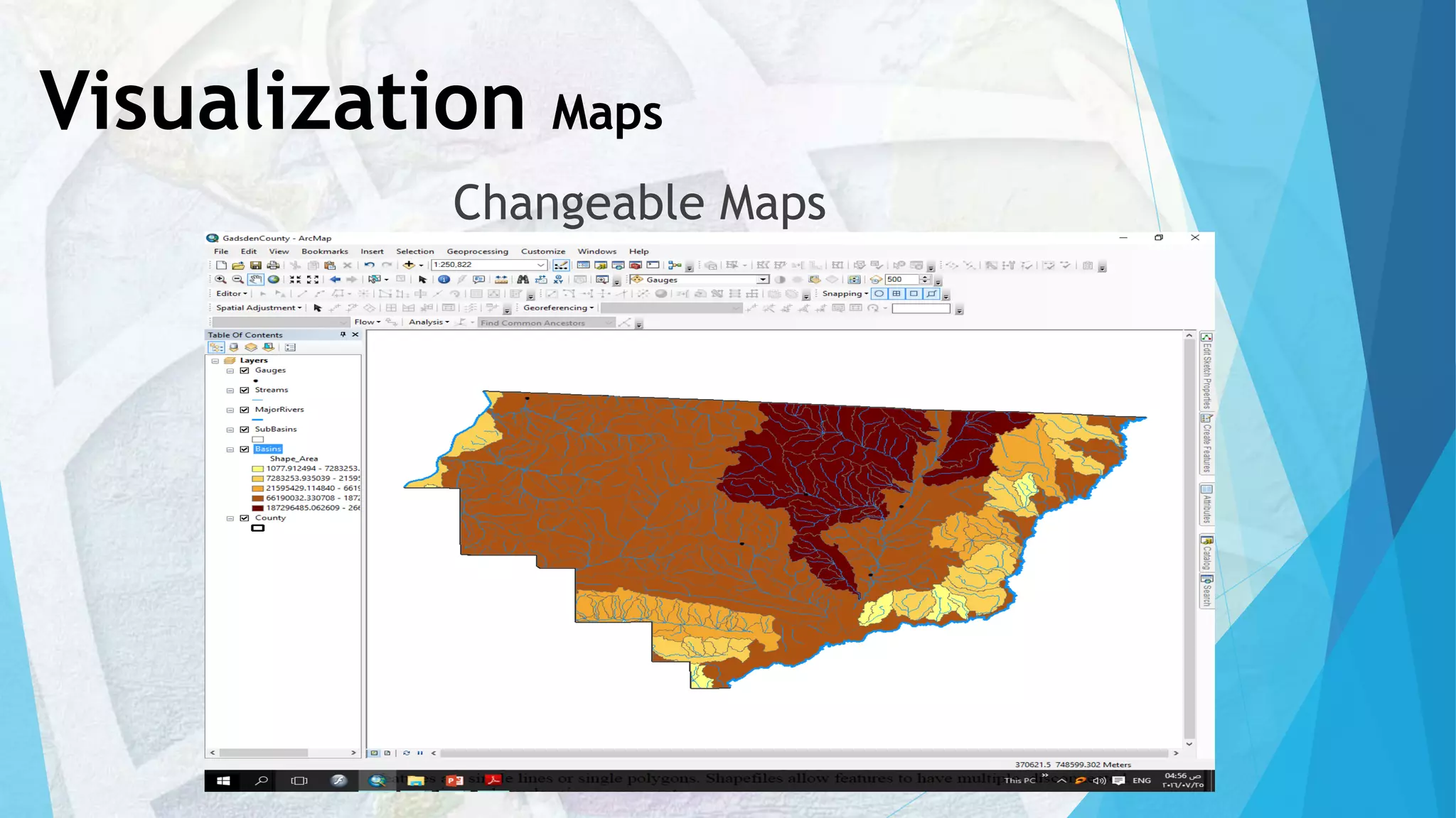


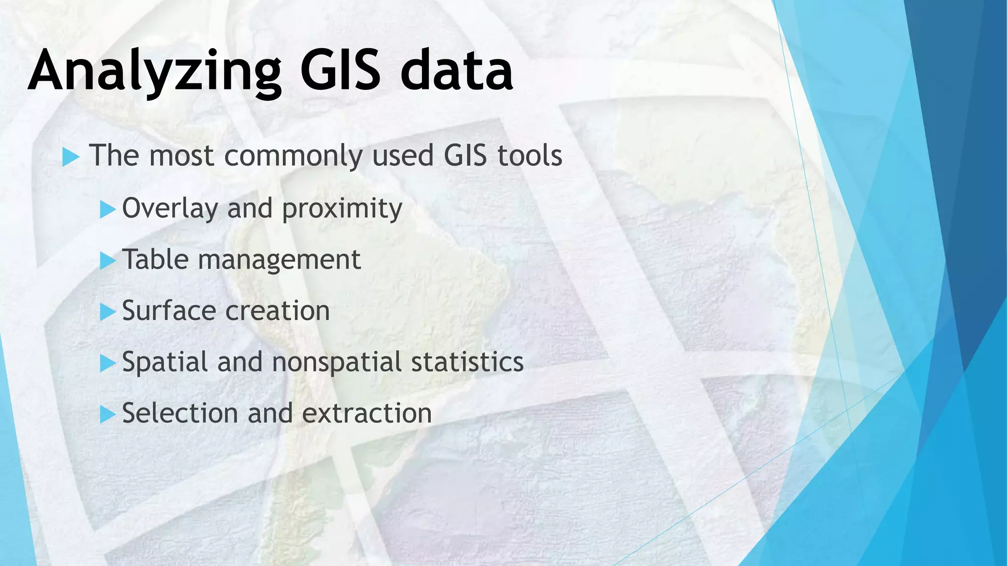
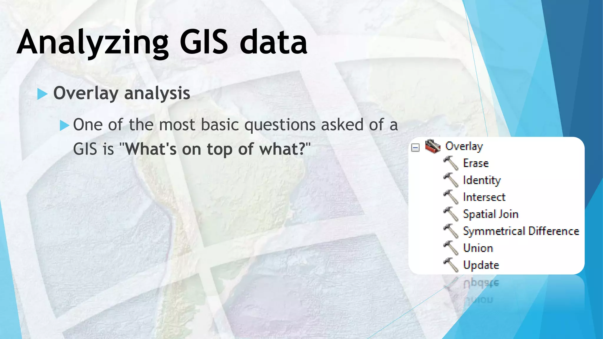

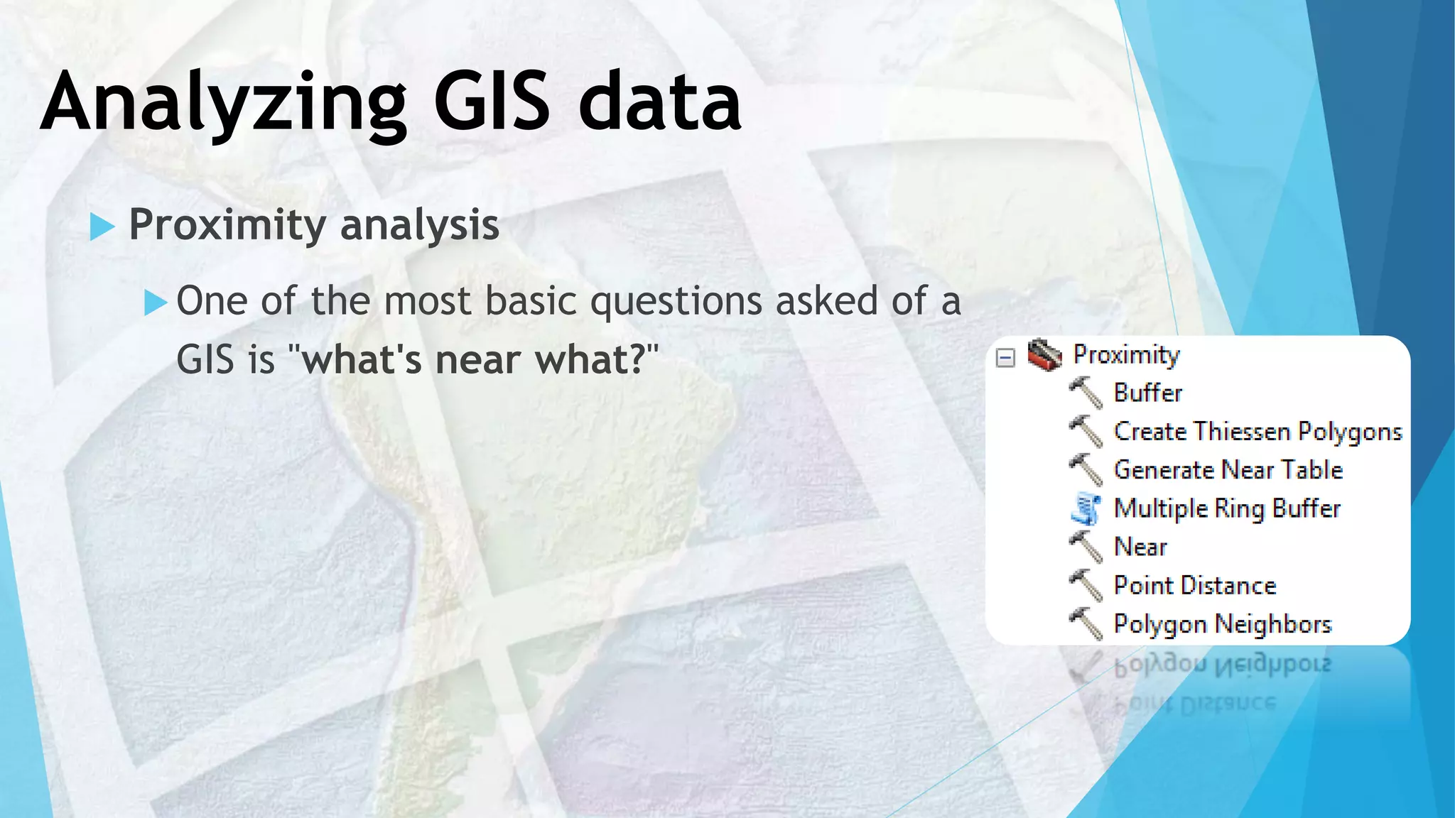
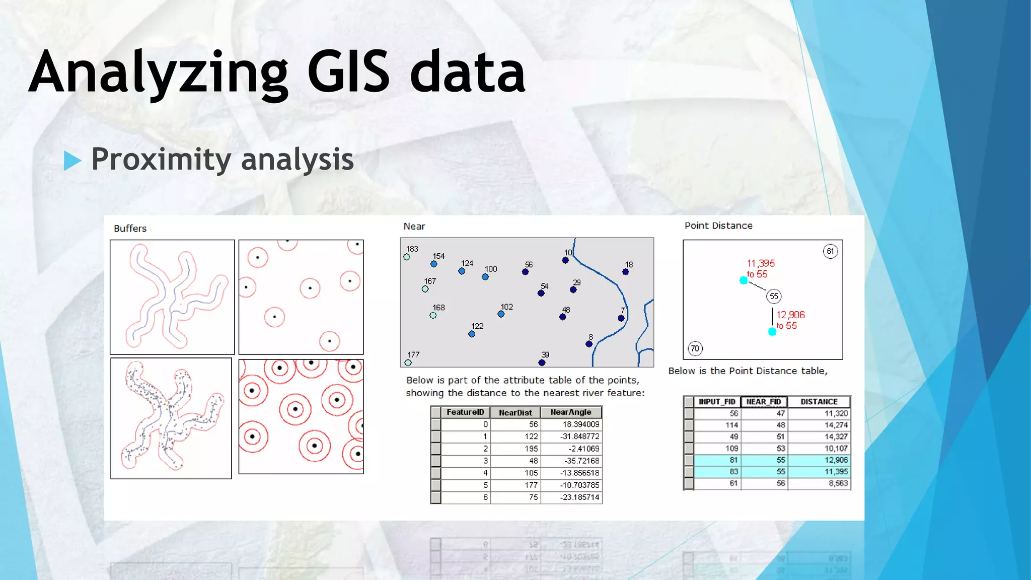

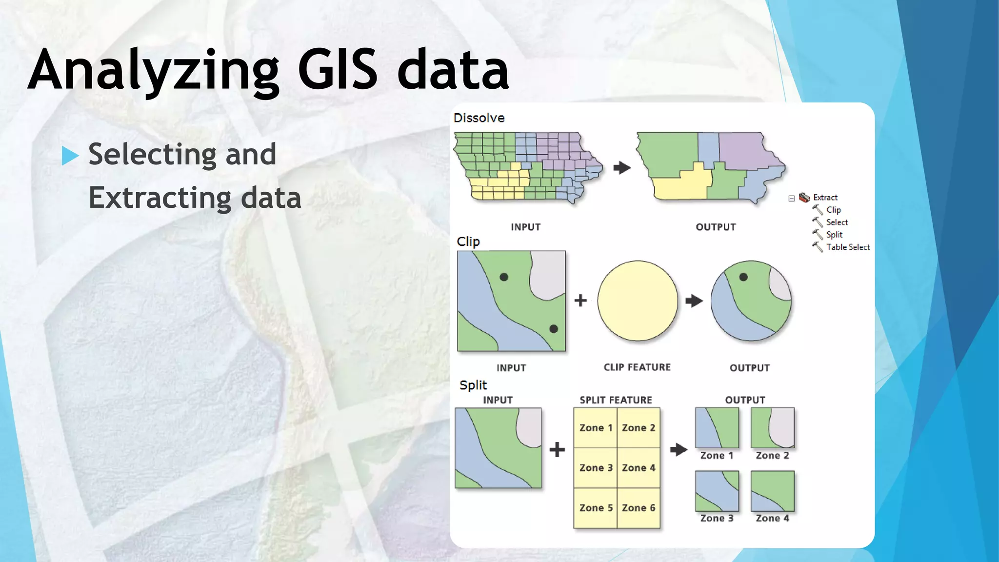
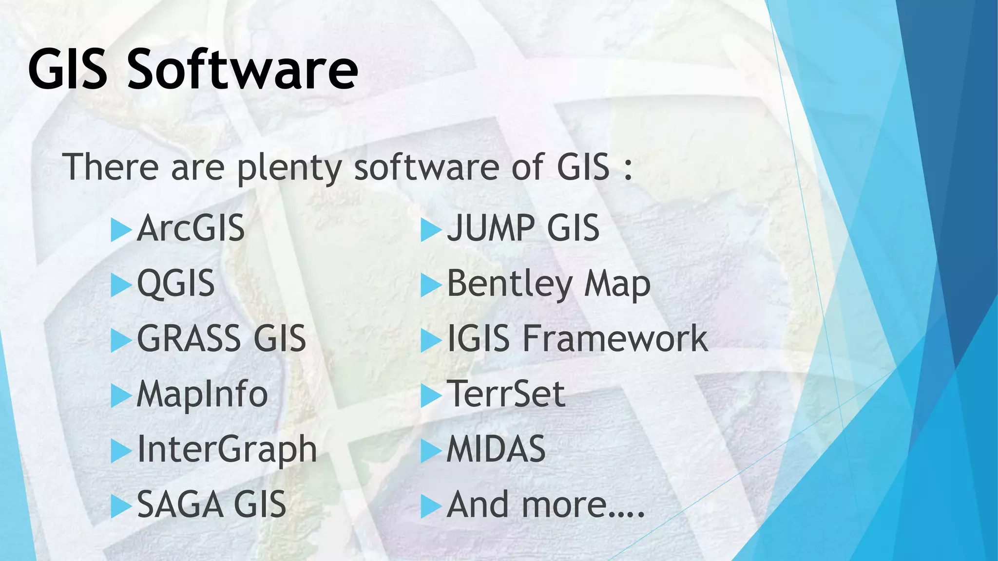


The document provides an introduction to ArcGIS. It outlines that it will discuss what GIS is, how geographic data is represented in GIS, how data is stored in ArcGIS, GIS maps, GIS analysis processes, what ArcGIS is, and planning a GIS project. It then proceeds to define GIS, explain how geographic data is modeled in vector and raster formats, describe how data is organized and stored in an ArcGIS geodatabase, discuss GIS mapping and visualization, and overview spatial analysis tools in ArcGIS.


