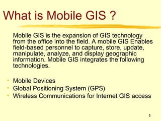
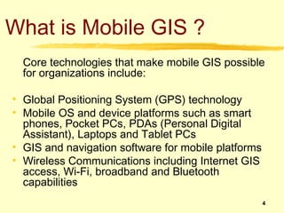
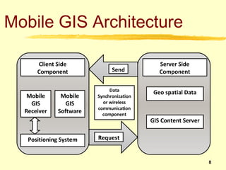
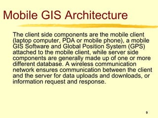
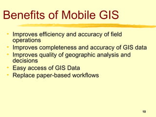
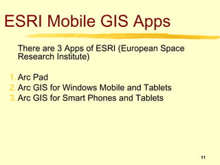
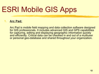
Mobile GIS allows field workers to capture and edit geographic data on mobile devices. It integrates GPS, mobile devices, and wireless communications to access GIS data from the field. The main benefits are improved field efficiency and data accuracy. ESRI provides several mobile GIS apps, including ArcPad for data collection, and apps for Windows, iOS, and Android devices that can access maps and perform analysis in the field. Mobile GIS systems connect mobile devices running GIS software via wireless networks to central GIS servers to share and sync field data.


![Getting Started with Apache Spark: Big Data Made Simple [Free Meetup]](https://cdn.slidesharecdn.com/ss_thumbnails/apachesparkgettingstarted-260203175547-8361bcc3-thumbnail.jpg?width=640&height=640&fit=bounds)


