Download as PDF, PPTX

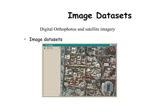
![Image Datasets
• Supported image formats:
– ARC Digitized Raster Graphics (ADRG)
– Windows bitmap images (BMP) [.bmp]
– Multiband (BSQ, BIL and BIP) and single band images
[.bsq, .bil and .bip]
– ERDAS [.lan and .gis]
– ESRI Grid datasets
– IMAGINE [.img]
– IMPELL Bitmaps [.rlc]
– Image catalogs
– JPEG [.jpg]
– MrSID [.sid]
– National Image Transfer Format (NITF)
– Sun rasterfiles [.rs, .ras and .sun]
– Tag Image File Format (TIFF) [.tiff, .tif and .tff]
– TIFF/LZW](https://image.slidesharecdn.com/arcgis-introduction-ppt-130411001846-phpapp02/85/Arc-gis-introduction-ppt-36-320.jpg)

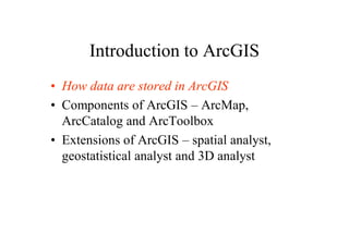
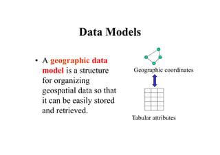
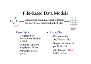
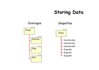
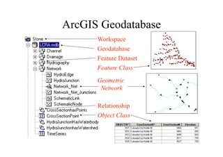
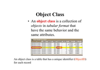
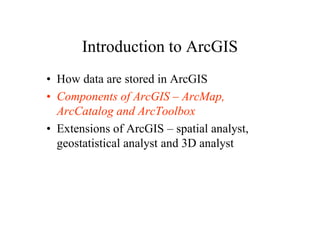
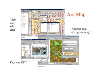
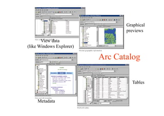
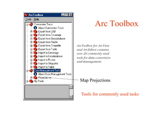
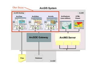
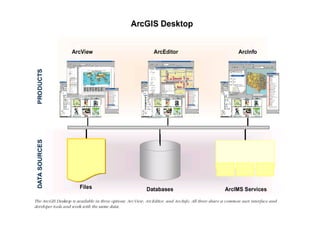
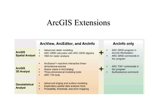
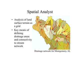
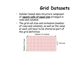
This document provides an overview of ArcGIS and its components. It discusses how data are stored in ArcGIS using different data models over time, including coverages, shapefiles, and geodatabases. It describes the main ArcGIS applications - ArcMap for viewing and editing data, ArcCatalog for data management, and ArcToolbox for geoprocessing tools. It also outlines some key ArcGIS extensions for spatial, geostatistical, and 3D analysis.