Downloaded 12 times

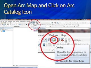
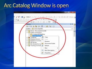
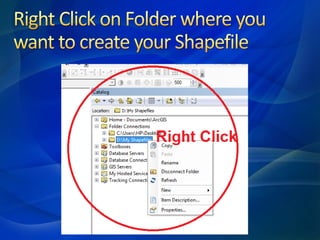
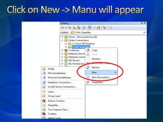
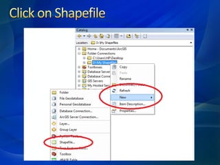
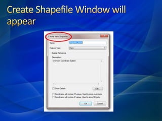
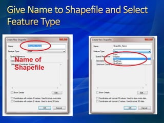
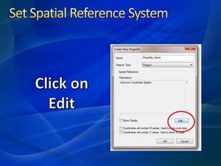
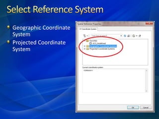
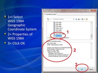
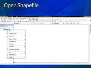
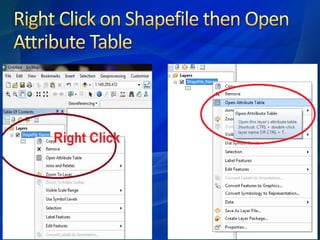
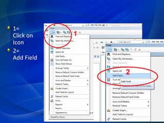
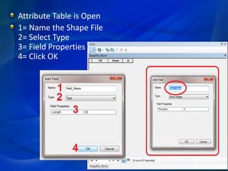
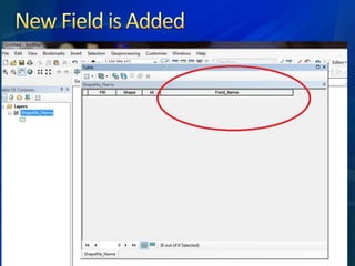

This document provides instructions for setting up a geographic coordinate system and projected coordinate system in GIS software. It outlines 4 steps to name a shapefile, select its type, define field properties, and save the shapefile configuration.


