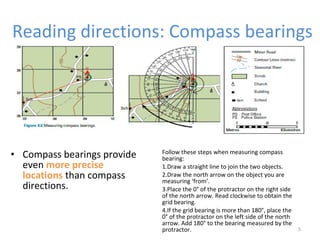
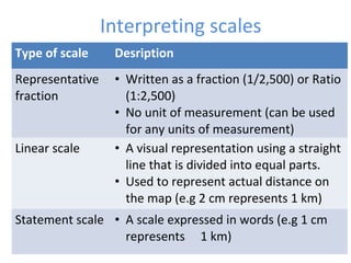
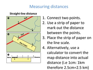
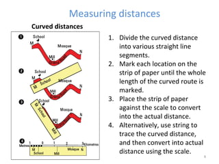
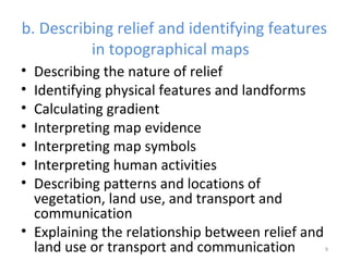
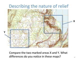
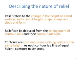
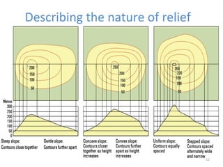
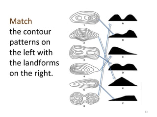
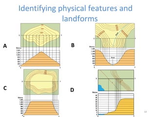
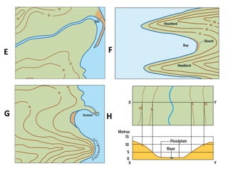
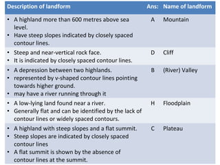
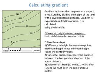
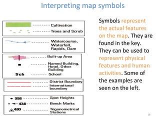
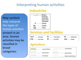
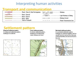
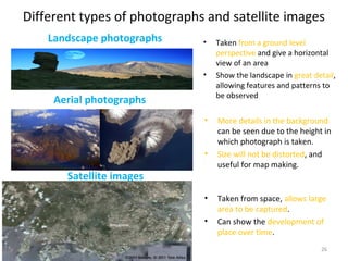
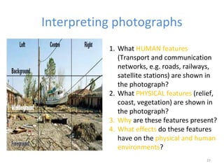
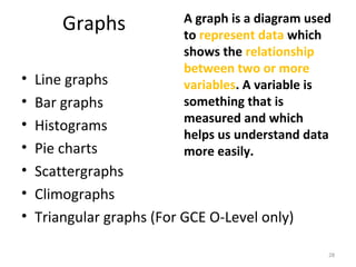
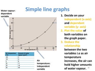
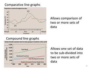
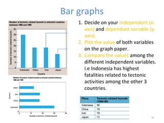
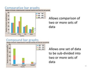
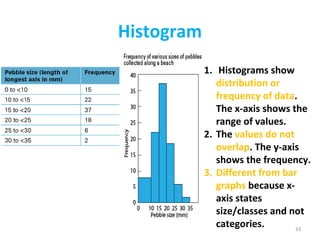
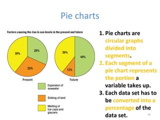
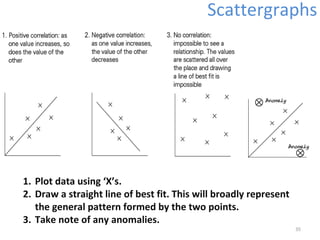
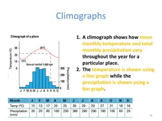
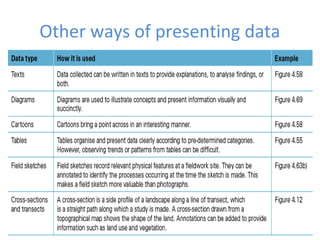
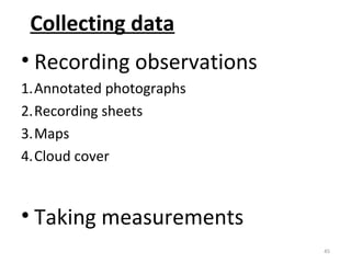
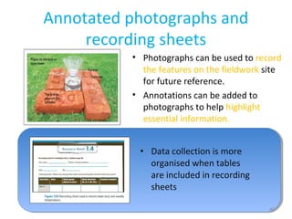
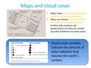
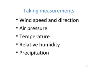
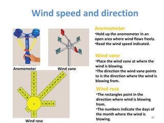
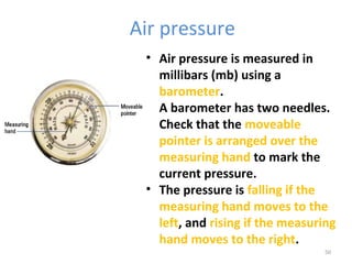
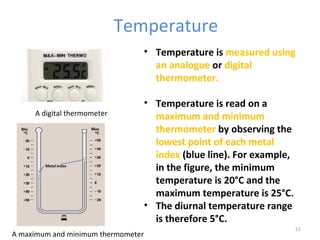
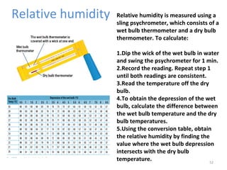
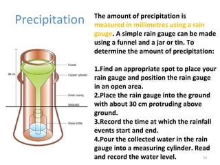
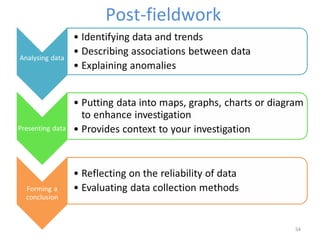
This document discusses key geographical skills and investigations, including topographical map reading skills, geographical data techniques, and geographical investigations. It covers topics such as reading topographical maps, interpreting scales, measuring distances, describing relief features, identifying landforms, calculating gradients, interpreting map symbols, describing patterns of vegetation and land use, and explaining relationships between relief and land use. It also discusses using photographs, satellite images, and different types of graphs to depict and analyze geographical data.