Downloaded 10 times
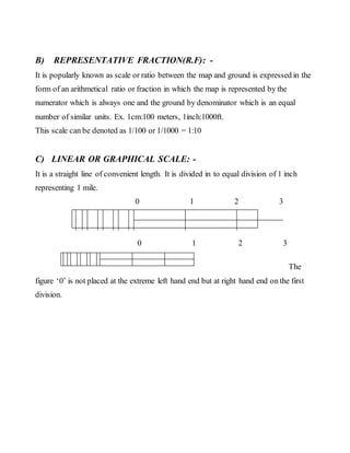
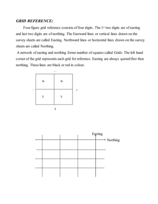
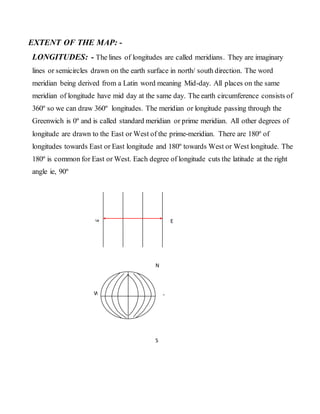
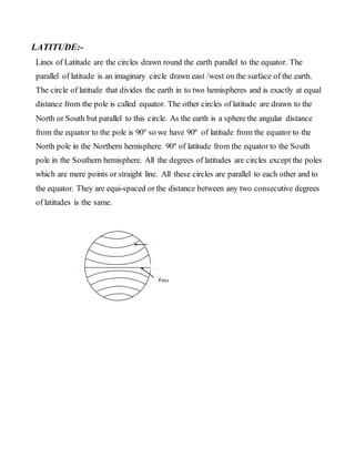
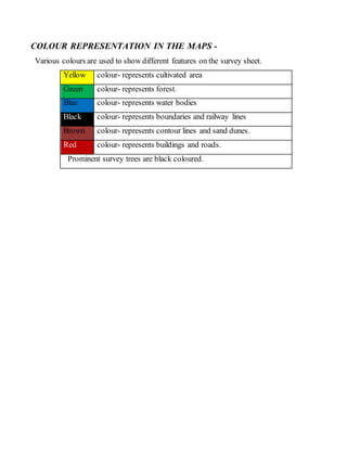

The document provides information on key concepts related to maps and map reading, including: 1) Maps are graphical representations of physical and cultural features on Earth's surface, with symbols used to denote features. Scale allows large areas to be shown on small maps and is expressed verbally, as a ratio, or with a bar scale. 2) Grid references use a system of eastings and northings to precisely locate features on maps divided into grids. Contour lines and spot heights indicate land elevation and relief. Hachures and shading are also used to represent relief. 3) Maps use colors to represent different features - green for forests, blue for water, etc. Settlement patterns, drainage patterns, transportation