Downloaded 310 times
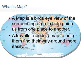
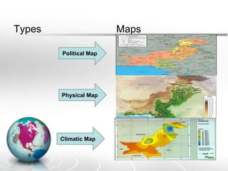
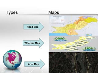
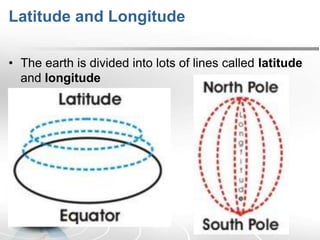
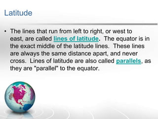
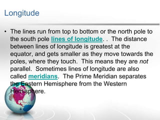
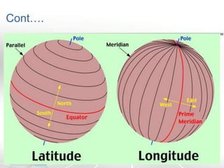
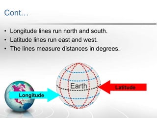
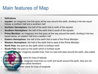

The document defines maps and their key components. It discusses the main types of maps, including political, physical, weather, road, and climatic maps. It explains that the Earth is divided into lines of latitude and longitude that are used to locate positions. Latitude lines run east to west and are parallel, while longitude lines run north to south and converge at the poles. The main features of maps, such as the equator, hemispheres, prime meridian, parallels, and meridians are outlined.