Downloaded 804 times

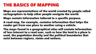
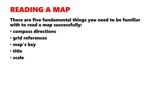


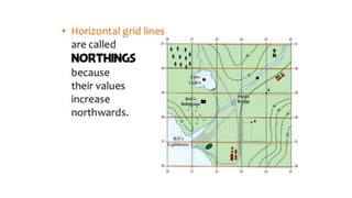
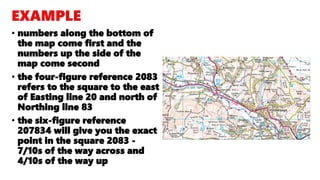
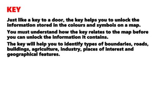
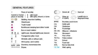


The document covers the basics of map skills necessary for IGCSE Geography, including understanding compass directions, grid references, map keys, titles, and scales. It explains how to accurately read and interpret OS maps, emphasizing techniques for locating places using four and six-figure grid references, understanding heights through contour lines, and differentiating between urban and rural land uses. The document also describes various types of maps produced by the Ordnance Survey and the significance of map scales in representing real-world distances and features.