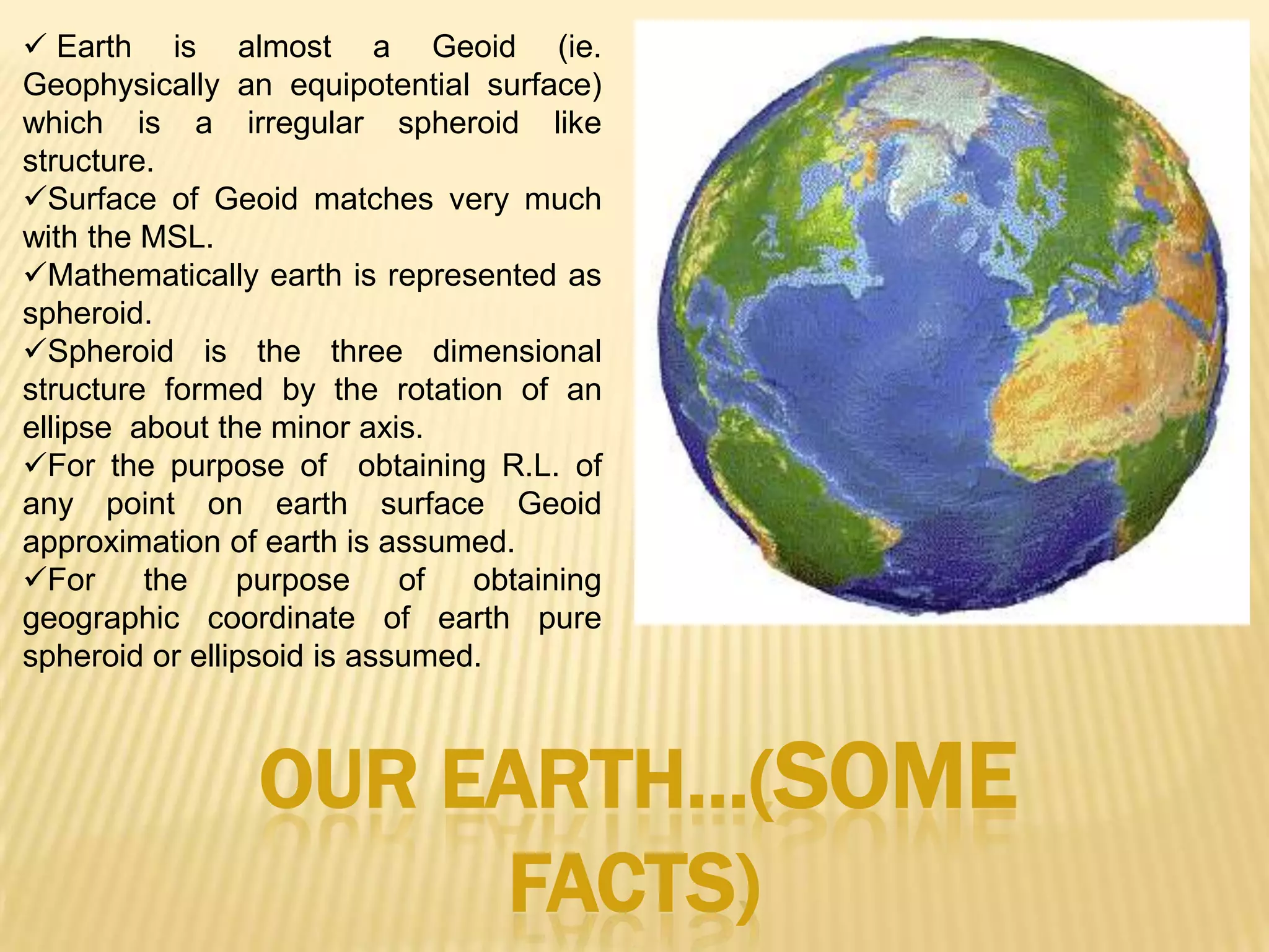
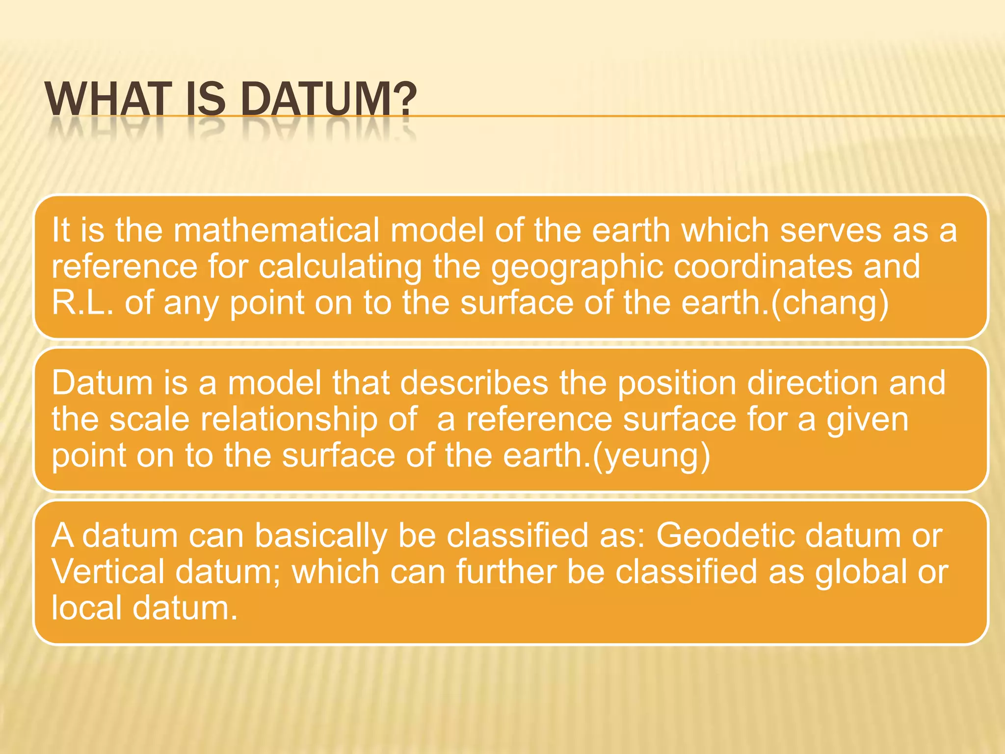
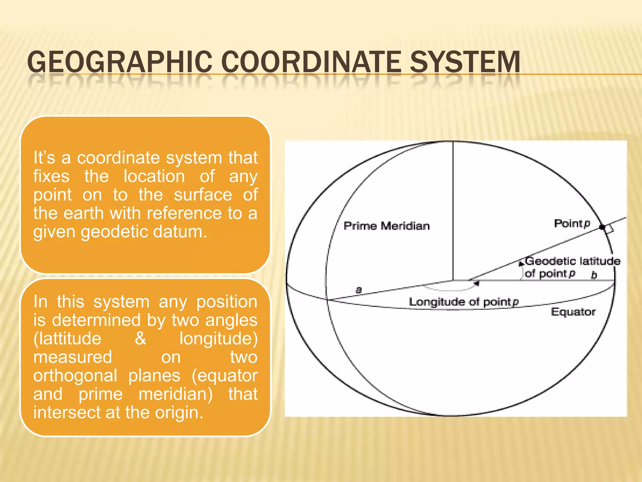
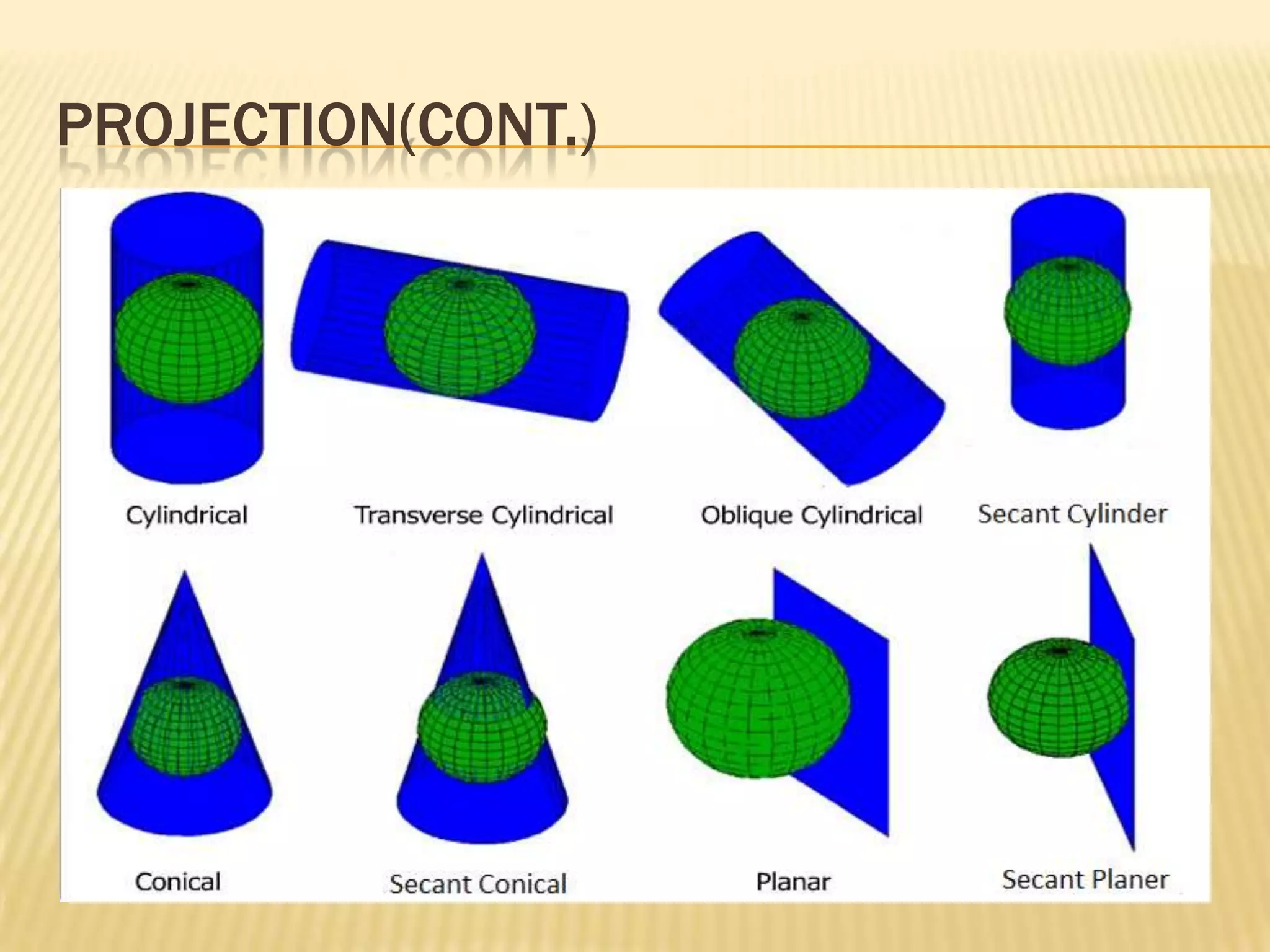
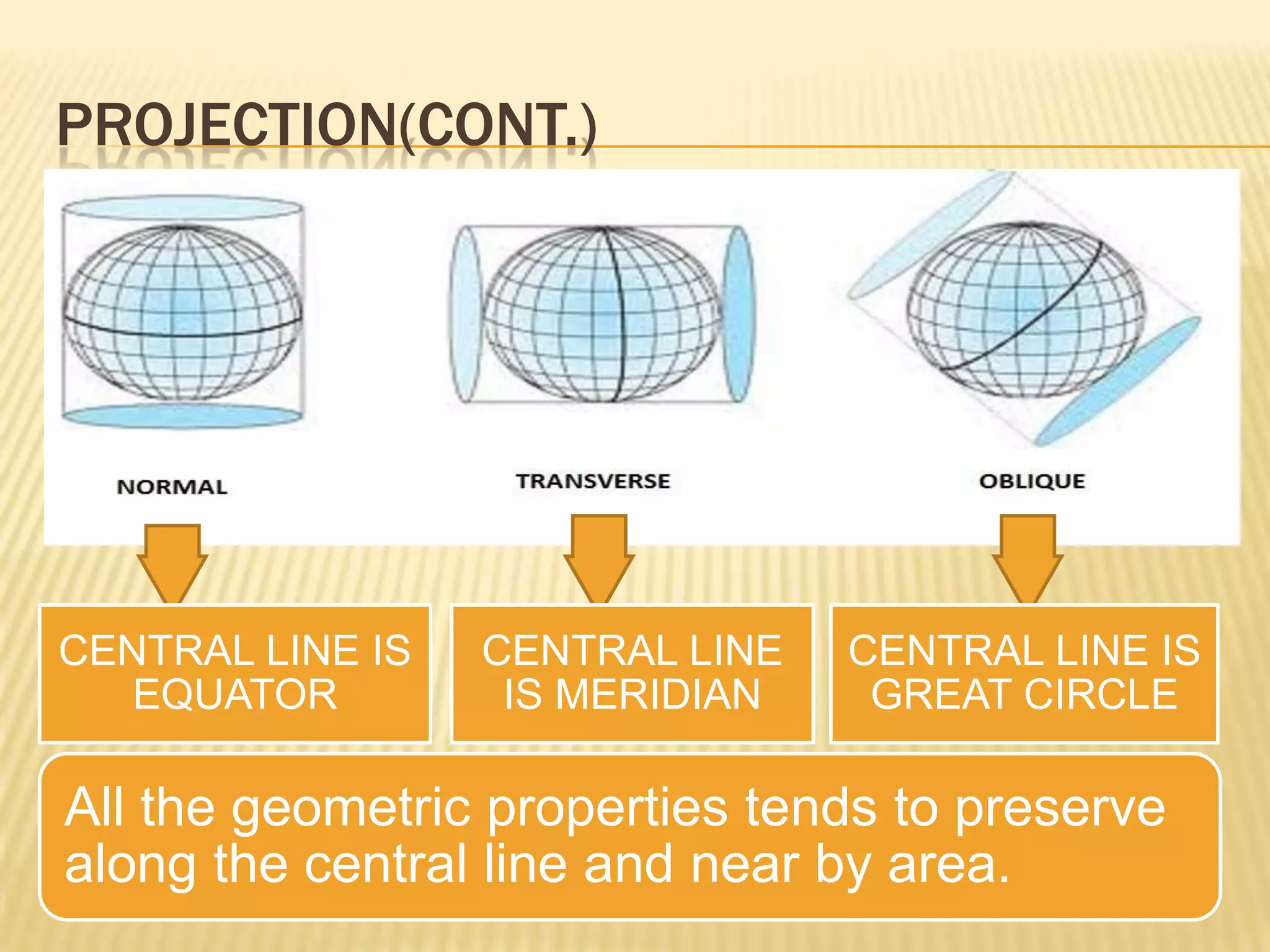
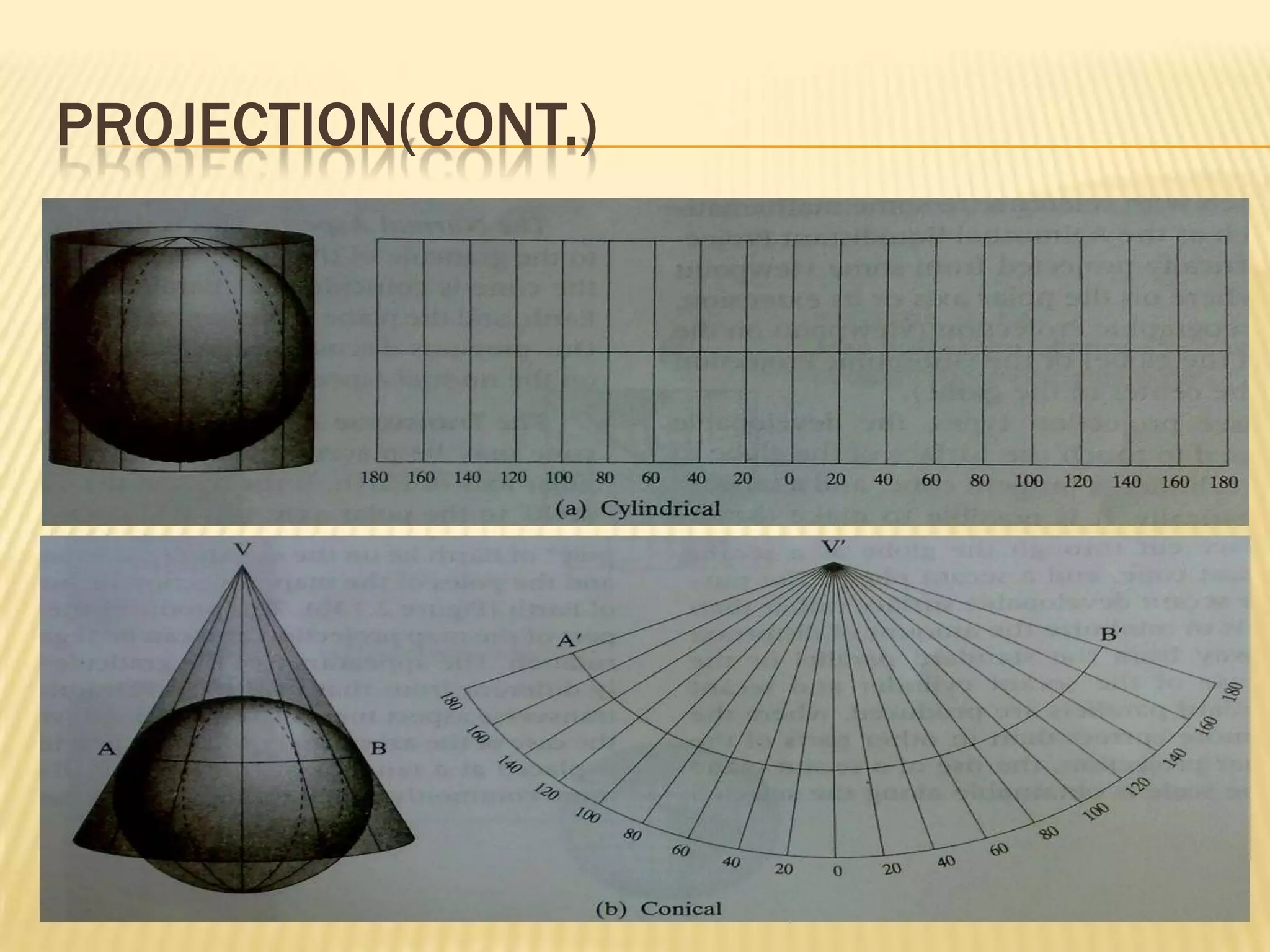
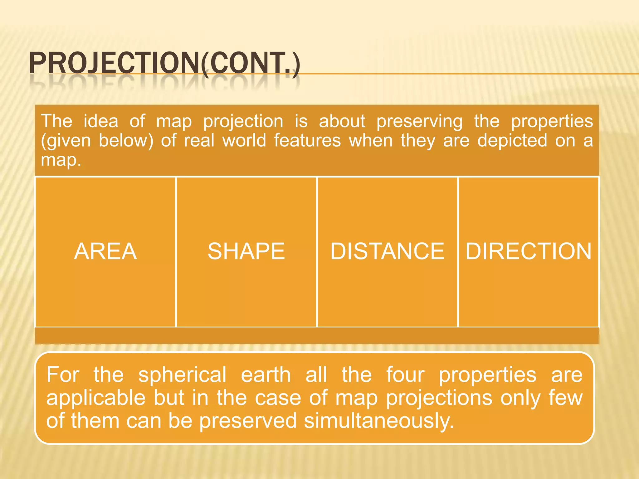
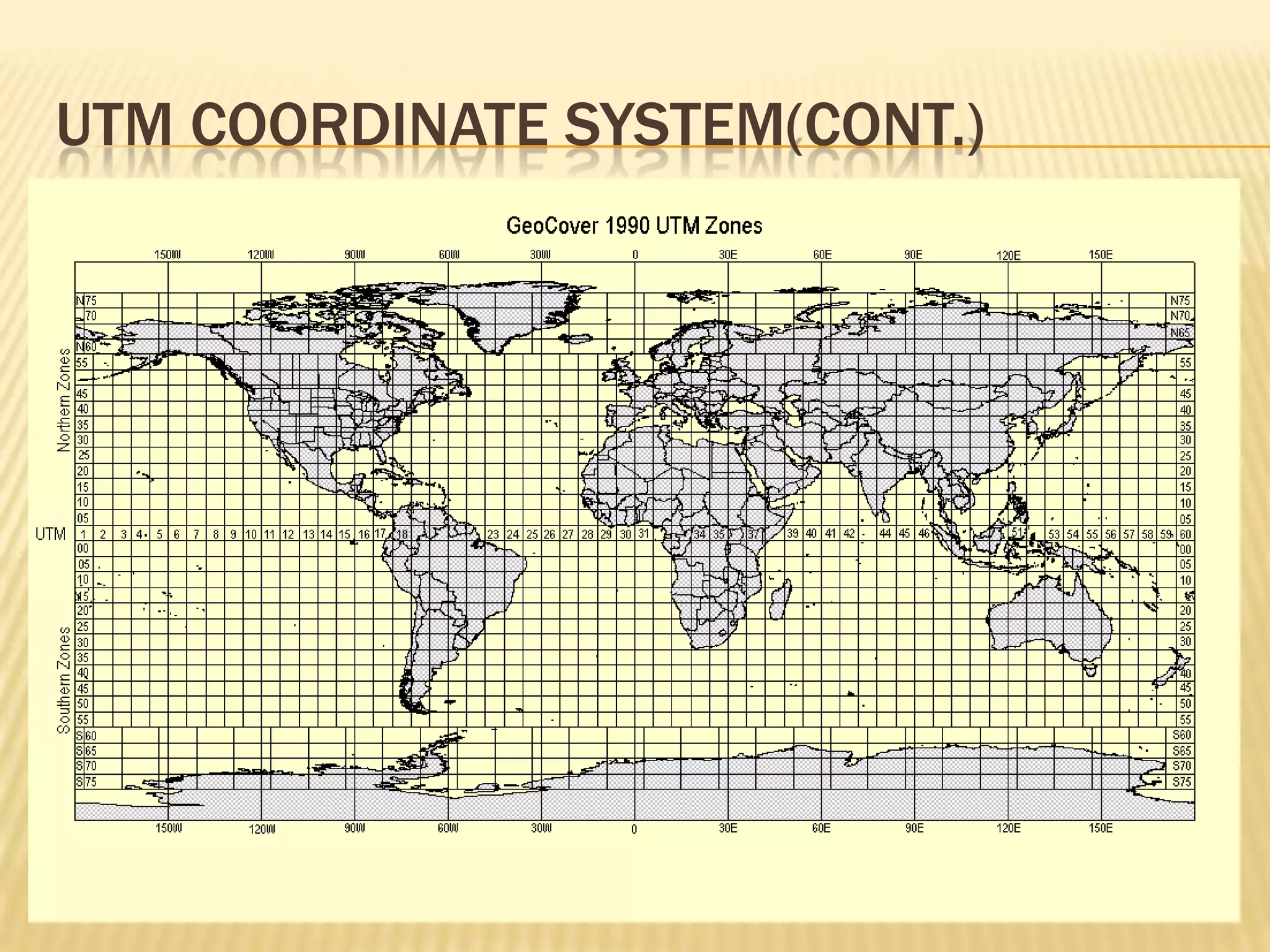
Geographic Coordinate System & Map ProjectionBy- VishalKediaM.Tech(Remote Sensing & GIS)Maulana Azad National Institute Of TechnologyBHOPAL
Earth is almost a Geoid (ie. Geophysically an equipotential surface) which is a irregular spheroid like structure.
Surface of Geoid matches very much with the MSL.
Mathematically earth is represented as spheroid.
Spheroid is the three dimensional structure formed by the rotation of an ellipse  about the minor axis.
For the purpose of  obtaining R.L. of any point on earth surface Geoid approximation of earth is assumed.
For the purpose of obtaining geographic coordinate of earth pure spheroid or ellipsoid is assumed.Our earth…(some facts)
Geoid Undulation: separation between geoid & spheroid at any point on the surface of the earth.Geoid undulationVertical deflection
What is Datum?
Geodetic Datum:
Vertical Datum:
Different Ellipsoid Models
Example Datum:
WGS 84 – Parameters:
WGS 84 – Parameters(cont.)
Geographic Coordinate System
Lattitude & Longitude
Lattitude & Longitude(cont.)
Projection ?
Projection(cont.)
Projection(cont.)
Projection(cont.)
Projection(cont.)
Projection(cont.)
Rectangular coordinate system
coordinate system and map projection
Utm coordinate system
Utm coordinate system(Cont.)It is the modified form of Transverse Mercator Projection System in which instead of using one cylinder as developable surface we use multiple cylinders that touch the globe at 6 degree interval meridians resulting in 60 projection zones each of 6 degree longitude width.To avoid extreme distortions projection zones are limited to 84 N & 80 S.
Utm coordinate system(Cont.)UTM coordinate system is formed by superimposing a regular grid on each projection zone such that vertical lines are parallel to the central meridian.Each UTM zone is divided into horizontal bands spanning 8 degrees of lattitude & these are identified by the letters North to South beginning at 80 S with letter ‘c’ and ending at 84 N with letter ‘X’ , letter ‘I’ & ‘O’ are not used (skipped). Band ‘X’ spans 12 degrees of lattitude.

Geographic coordinate system & map projection