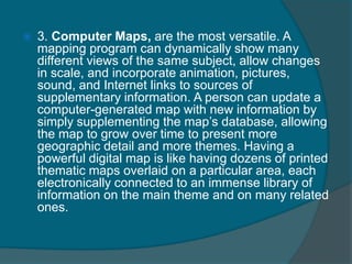
A map is a representation of a geographic area, usually showing terrain, political boundaries, or other features. Maps can be printed, computer-generated, or other forms. They all share common elements like projections that translate the spherical Earth onto a flat surface, scales to relate distances on the map to real-world distances, and coordinate systems like latitude and longitude to specify locations. Effective use of maps requires understanding these elements and being aware that maps have limitations due to human and technological factors.