Downloaded 2,565 times


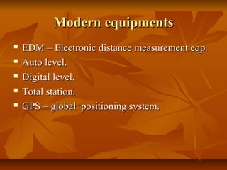
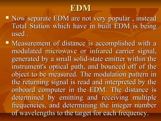
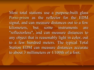


The document discusses various modern surveying equipment, including electronic distance measurement (EDM) devices, auto levels, digital levels, and total stations, highlighting their features and uses in surveying tasks. It explains how total stations combine functions of a theodolite and EDM, providing accurate measurements and ease of data handling, while also noting the advantages of automation in modern devices. Additionally, the text addresses specific applications, limitations, and necessary auxiliary equipment for optimal operation.