Downloaded 1,563 times


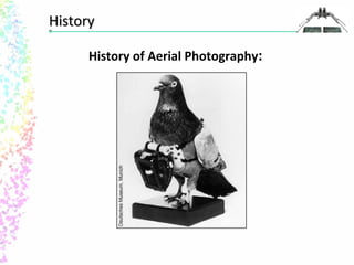
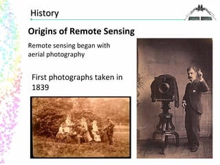
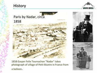
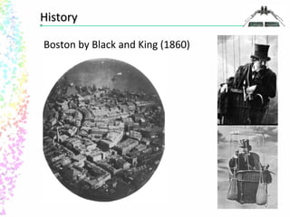


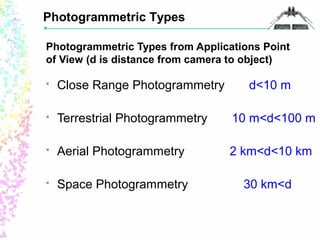
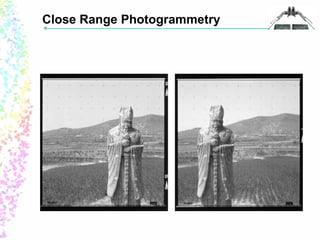
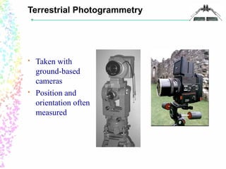
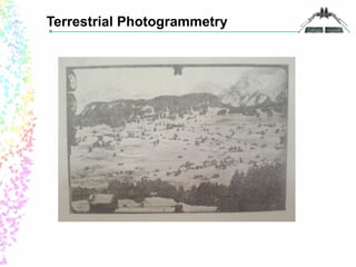

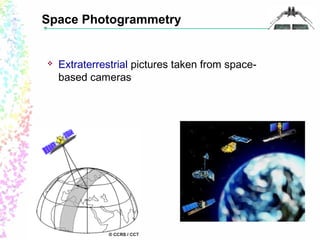
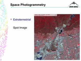
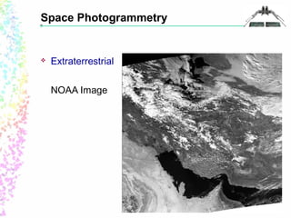

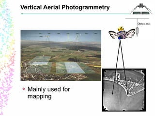
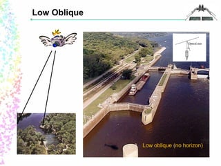
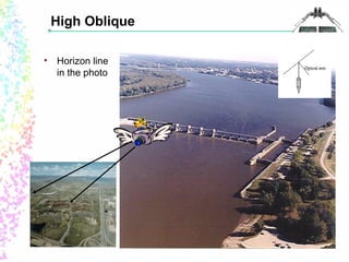
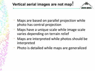


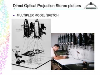
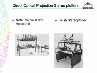
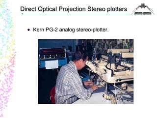
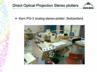
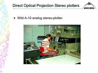
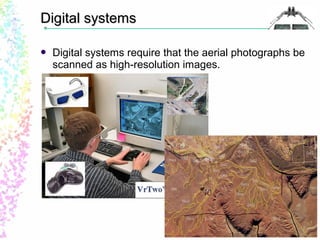


This document provides an overview of photogrammetry, including a brief history of aerial photography, definitions of key terms, and descriptions of different types of photogrammetry and imaging. It discusses the general photogrammetric process and products that can be created. Specific topics covered include the development of aerial photography from the 1850s onwards, definitions of photogrammetry, close range, terrestrial, aerial, and space photogrammetry, types of aerial images, photogrammetric mapping techniques, and historical photogrammetric plotting instruments.


