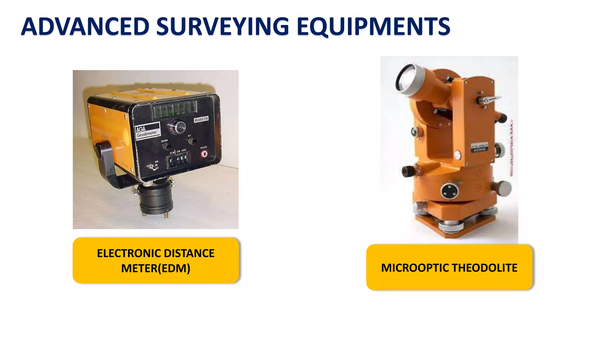
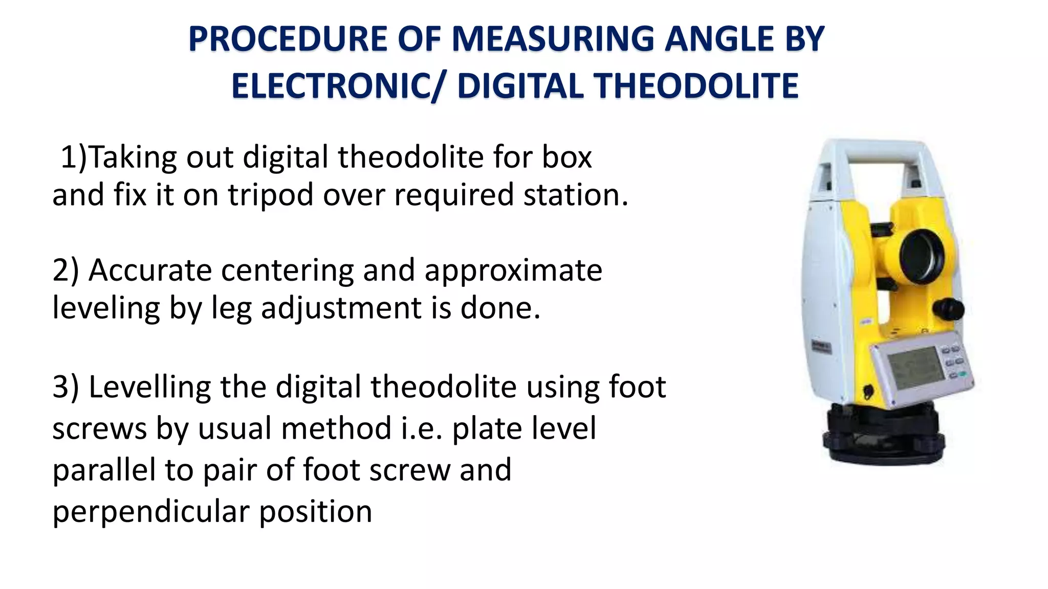
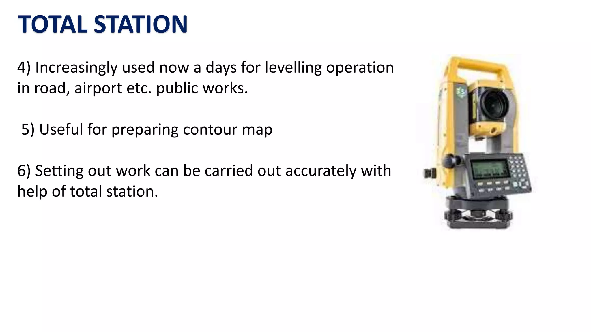
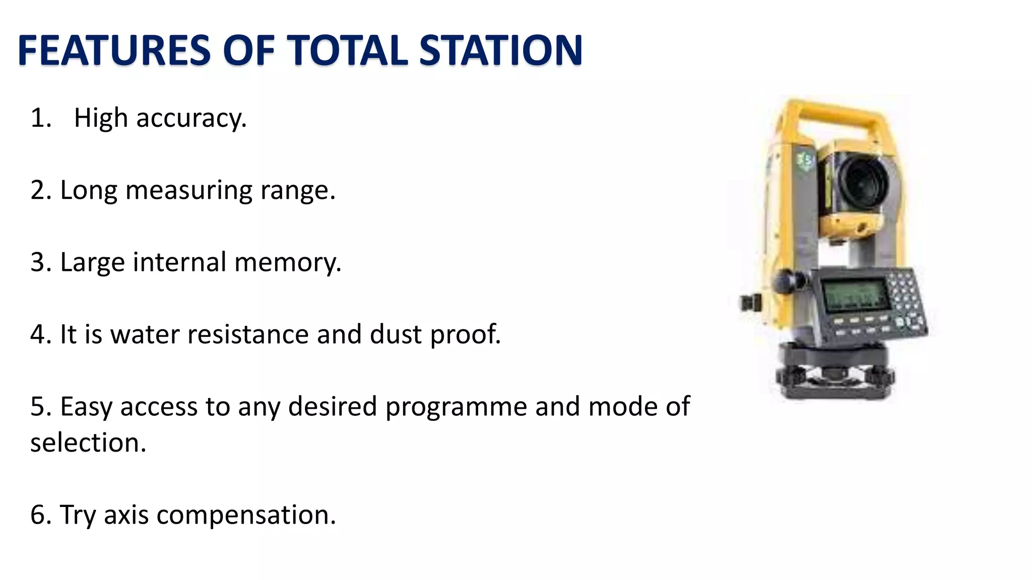
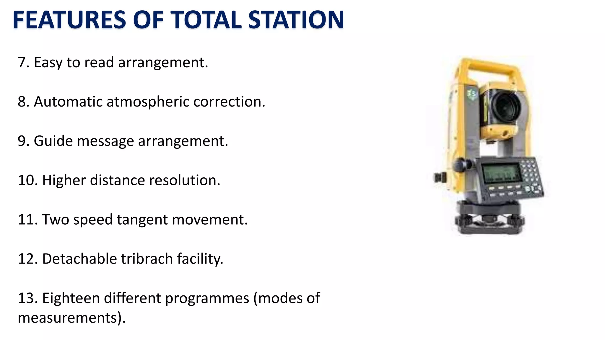
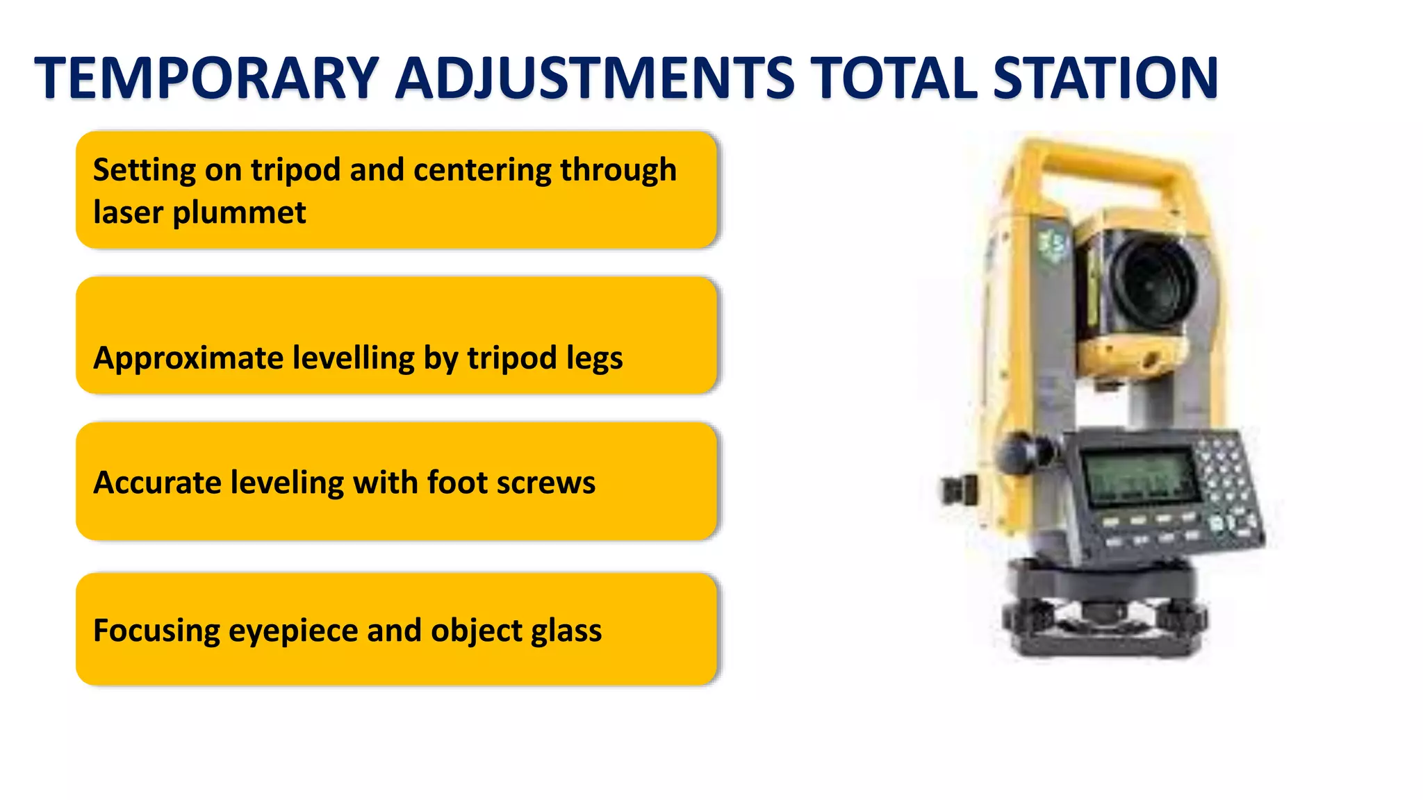
1. The document discusses advanced surveying equipment that provide more precise and faster surveying compared to traditional methods. It describes the Electronic Distance Meter (EDM), microoptic theodolite, electronic/digital theodolite, and total station.
2. An EDM measures distance using the phase difference between a transmitted and reflected wave. A microoptic theodolite and electronic theodolite are used to measure angles precisely.
3. A total station integrates EDM and theodolite functions to allow simultaneous distance and angle measurements for surveying tasks such as setting out buildings, contour mapping, and more.
MODERN SURVEYING TECHNIQUES
WHAT IS SURVEYING?
•Surveyingisdefinedasthescienceofmakingmeasurementsespeciallyoftheearthsurface.Thisisbeingdonebyfindingoutthespatiallocation(relative/absolute)ofpointsonorneartheearthsurface.
•Differentmethodandinstrumentarebeingused
What is a Total Station?
Capability of a Total Station
Important Operations of Total Station
Uses of Total Station
Advantages of Using Total Stations
Applications
Edm is a surveying instrument used to measure the distance electronically. This Surveying Instrument is used in triangulation to measure the length of Base line because more accuracy is required to measure the length of base line.
Introduction, electromagnetic spectrum, electromagnetic distance measurement, types of EDM instruments, electronic digital theodolites, total station, digital levels, scanners for topographical survey, global positioning system.
5. AREAS AND VOLUMES (SUR) 3140601 GTUVATSAL PATEL
Introduction, computation of area, computation of area from field notes and plotted plans, boundary area, area of traverse, Use of Plannimeter, computations of volumes, Volume from cross sections, Trapezoidal and Prismoidal formulae, Prismoidal correction, Curvature correction, capacity of reservoir, volume from borrow pits.
TOTAL STATION(part1)
Contents:
Ø Introduction about the Total Station(TS).
Ø Types of Total Station.
Ø Types of Prisms.
Ø Parts of the Total Station Topcon Es 105.
Ø TS Main Menu.
Ø Function and Operation of the Topcon ES105 Total Station.
Ø Survey Work: Setting out the Instrument.
Ø Angle measurement & Distance measurement.
Prepared by:
Asst. Prof. Salar K.Hussein
Mr. Kamal Y.Abdullah
Asst.Lecturer. Dilveen H. Omar
Erbil Polytechnic University
Technical Engineering College
Civil Engineering Department
Total station, parts of total station,
advantages and application.
Practical on Total station
To study the various electronic surveying instruments like EDM, Total Station etc. What is Total station?
Total Station with Tripod stand & Reflector prism
Basic components of Total station
It is also integrated with microprocessor, electronic data collector and storage system
Setting up the total station over a ground point
Area Calculation by Total Station
Volume Calculation by Total Station
RDM & REM by Total Station
AccuracyofaTotalStation
Remote elevation measurement
Applications of Total Station
Uses of Total Station
Total Station step by step
Field Practical of TS
How to Make a Field invisible in Odoo 17Celine George
It is possible to hide or invisible some fields in odoo. Commonly using “invisible” attribute in the field definition to invisible the fields. This slide will show how to make a field invisible in odoo 17.
Introduction to AI for Nonprofits with Tapp NetworkTechSoup
Dive into the world of AI! Experts Jon Hill and Tareq Monaur will guide you through AI's role in enhancing nonprofit websites and basic marketing strategies, making it easy to understand and apply.
Synthetic Fiber Construction in lab .pptxPavel ( NSTU)
Synthetic fiber production is a fascinating and complex field that blends chemistry, engineering, and environmental science. By understanding these aspects, students can gain a comprehensive view of synthetic fiber production, its impact on society and the environment, and the potential for future innovations. Synthetic fibers play a crucial role in modern society, impacting various aspects of daily life, industry, and the environment. ynthetic fibers are integral to modern life, offering a range of benefits from cost-effectiveness and versatility to innovative applications and performance characteristics. While they pose environmental challenges, ongoing research and development aim to create more sustainable and eco-friendly alternatives. Understanding the importance of synthetic fibers helps in appreciating their role in the economy, industry, and daily life, while also emphasizing the need for sustainable practices and innovation.
Francesca Gottschalk - How can education support child empowerment.pptxEduSkills OECD
Francesca Gottschalk from the OECD’s Centre for Educational Research and Innovation presents at the Ask an Expert Webinar: How can education support child empowerment?
Read| The latest issue of The Challenger is here! We are thrilled to announce that our school paper has qualified for the NATIONAL SCHOOLS PRESS CONFERENCE (NSPC) 2024. Thank you for your unwavering support and trust. Dive into the stories that made us stand out!
The Roman Empire A Historical Colossus.pdfkaushalkr1407
The Roman Empire, a vast and enduring power, stands as one of history's most remarkable civilizations, leaving an indelible imprint on the world. It emerged from the Roman Republic, transitioning into an imperial powerhouse under the leadership of Augustus Caesar in 27 BCE. This transformation marked the beginning of an era defined by unprecedented territorial expansion, architectural marvels, and profound cultural influence.
The empire's roots lie in the city of Rome, founded, according to legend, by Romulus in 753 BCE. Over centuries, Rome evolved from a small settlement to a formidable republic, characterized by a complex political system with elected officials and checks on power. However, internal strife, class conflicts, and military ambitions paved the way for the end of the Republic. Julius Caesar’s dictatorship and subsequent assassination in 44 BCE created a power vacuum, leading to a civil war. Octavian, later Augustus, emerged victorious, heralding the Roman Empire’s birth.
Under Augustus, the empire experienced the Pax Romana, a 200-year period of relative peace and stability. Augustus reformed the military, established efficient administrative systems, and initiated grand construction projects. The empire's borders expanded, encompassing territories from Britain to Egypt and from Spain to the Euphrates. Roman legions, renowned for their discipline and engineering prowess, secured and maintained these vast territories, building roads, fortifications, and cities that facilitated control and integration.
The Roman Empire’s society was hierarchical, with a rigid class system. At the top were the patricians, wealthy elites who held significant political power. Below them were the plebeians, free citizens with limited political influence, and the vast numbers of slaves who formed the backbone of the economy. The family unit was central, governed by the paterfamilias, the male head who held absolute authority.
Culturally, the Romans were eclectic, absorbing and adapting elements from the civilizations they encountered, particularly the Greeks. Roman art, literature, and philosophy reflected this synthesis, creating a rich cultural tapestry. Latin, the Roman language, became the lingua franca of the Western world, influencing numerous modern languages.
Roman architecture and engineering achievements were monumental. They perfected the arch, vault, and dome, constructing enduring structures like the Colosseum, Pantheon, and aqueducts. These engineering marvels not only showcased Roman ingenuity but also served practical purposes, from public entertainment to water supply.
Honest Reviews of Tim Han LMA Course Program.pptxtimhan337
Personal development courses are widely available today, with each one promising life-changing outcomes. Tim Han’s Life Mastery Achievers (LMA) Course has drawn a lot of interest. In addition to offering my frank assessment of Success Insider’s LMA Course, this piece examines the course’s effects via a variety of Tim Han LMA course reviews and Success Insider comments.
Operation “Blue Star” is the only event in the history of Independent India where the state went into war with its own people. Even after about 40 years it is not clear if it was culmination of states anger over people of the region, a political game of power or start of dictatorial chapter in the democratic setup.
The people of Punjab felt alienated from main stream due to denial of their just demands during a long democratic struggle since independence. As it happen all over the word, it led to militant struggle with great loss of lives of military, police and civilian personnel. Killing of Indira Gandhi and massacre of innocent Sikhs in Delhi and other India cities was also associated with this movement.
Welcome to TechSoup New Member Orientation and Q&A (May 2024).pdfTechSoup
In this webinar you will learn how your organization can access TechSoup's wide variety of product discount and donation programs. From hardware to software, we'll give you a tour of the tools available to help your nonprofit with productivity, collaboration, financial management, donor tracking, security, and more.
2. INTRODUCTION
In conventional surveying, chain and tape are used for making linear
measurements while compass and ordinary theodolites are used for
making angular measurements. Levelling work is carried out using a
Dumpy level and a leveling staff. With such surveying instruments,
survey work will be slow and tedious.
Hence modern surveying instruments are becoming more popular and
they are gradually replacing old surveying instruments such as
compass and Dumpy level. With modern surveying instruments,
survey work will be precise, faster and less tedious. Some of the
modern surveying instruments are discussed in this article.
5. PRINCIPLE OF EDM
Let the distance between P and Q be ‘D’ which is to be measured.
A wave transmitted from the transmitter at station ‘P’ with certain phase angle.
There is a reflector at the other end ‘Q’ Reflector consist of prism. The wave strikes
on reflector at Q and then gets reflected from Q.
It is received back at the transmitter end at ‘P’ with different phase angle.
For finding the distance, the phase difference between transmitted and reflected
waves is measured and converted into distance.
6.
7.
8. PROCEDURE OF USING EDM
Let distance AB is to be measured.
Set EDM at station A. Touch ON/OFF switch. Display panel will give
reading 0.0.
Hold the reflector at B
Telescope of EDM sighted towards B with cross hair at center of
reflector.
Press Range or Enter switch and in few seconds, distance will be
displayed.
Distances displayed will be horizontal distance and sloping distance
between A and B, also elevation difference between A and B.
9. USES OF EDM
It is useful for measuring the distances
that are difficult to access.
It is useful in topographical survey.
It is useful in fixing alignment of road,
railways, canals etc.
Measurement of distances in difficult
work sites such as construction of
gravity dams.
Measurement of base line in
triangulation survey can be carried out
speedily and accurately.
13. i) Set up the instrument at station O’ as
shown in fig.
ii) Carry out centering and leveling of the
instrument with the help of optical plummet
and leveling screw respectively.
iii) Bisect the object using micrometer knob.
iv) Take reading of angle on window.
PROCEDURE OF MEASURING ANGLE
BY MICROOPTIC THEODOLITE
15. FEATURES OF ELECTRONIC/ DIGITAL THEODOLITE
Dual side display and keyboard with
push button keys
Built in illumination for night operation
Rechargeable Ni-Cd battery with auto
power cut off.
Compatibility with EDMs
16. COMPONENT PARTS OF
ELECTRONIC/ DIGITAL THEODOLITE
Components Purpose
Levelling head Support the theodolite and enable leveling of
instrument.
Clamping screw To controlled the circular motion of telescope.
Telescope To bisect the object.
Plate level To check the leveling of instrument.
Optical plummet Centering of the instrument.
17. PROCEDURE OF MEASURING ANGLE BY
ELECTRONIC/ DIGITAL THEODOLITE
1)Taking out digital theodolite for box
and fix it on tripod over required station.
2) Accurate centering and approximate
leveling by leg adjustment is done.
3) Levelling the digital theodolite using foot
screws by usual method i.e. plate level
parallel to pair of foot screw and
perpendicular position
18. PROCEDURE OF MEASURING ANGLE BY
ELECTRONIC/ DIGITAL THEODOLITE
4) Focusing of eyepiece and object glass is done using
eyepiece and focusing screws.
5) Switch on the digital theodolite.
6) Direct the telescope toward the object of which angle is
to be measured say A, bisect it. Clamp the instrument,
accurate bisection is done by slow motion screw.
7) Press hold button, LCD gives required vertical angle
from zenith point or horizontal plane as per setting of the
instrument.
21. TOTAL STATION
1) Measurement of horizontal, slope and vertical
distance can be accurately found out.
2) It gives the complete basic surveying exercise in
order to appreciate how land survey measurements
can be used in engineering construction and
environmental restoration activities.
3) Vertical and horizontal angles can be accurately
measured by total station.
22. TOTAL STATION
4) Increasingly used now a days for levelling operation
in road, airport etc. public works.
5) Useful for preparing contour map
6) Setting out work can be carried out accurately with
help of total station.
23. 1. High accuracy.
2. Long measuring range.
3. Large internal memory.
4. It is water resistance and dust proof.
5. Easy access to any desired programme and mode of
selection.
6. Try axis compensation.
FEATURES OF TOTAL STATION
24. FEATURES OF TOTAL STATION
7. Easy to read arrangement.
8. Automatic atmospheric correction.
9. Guide message arrangement.
10. Higher distance resolution.
11. Two speed tangent movement.
12. Detachable tribrach facility.
13. Eighteen different programmes (modes of
measurements).
25. TEMPORARY ADJUSTMENTS TOTAL STATION
Setting on tripod and centering through
laser plummet
Approximate levelling by tripod legs
Accurate leveling with foot screws
Focusing eyepiece and object glass
26. TEMPORARY ADJUSTMENTS TOTAL STATION
Checking plate level time to time during
measurement
Station set up
Back sighting
27. TEMPORARY ADJUSTMENTS TOTAL STATION
Station set up
It includes entering name of point ,
independent coordinates , reduced
level and height of instrument at
instrument station in total station.
28. TEMPORARY ADJUSTMENTS TOTAL STATION
Back sighting
It means selecting a reference point to form
the basis for the angular direction and
bisecting it and entering its details like name ,
elevation, height of prism, etc.
This work must be carried out with prism
mode for accurate measurement.
31. MEASUREMENTS USING TRIMBLE M3 TOTAL STATION
Select Station set up and enter details
Select ‘Job’ and create job by entering
details
Carry out all temporary adjustments
Select ‘General survey’ form menu
32. MEASUREMENTS USING TRIMBLE M3 TOTAL STATION
Carry out back sighting
Select measure point and bisect the
required point and select ‘Measure’ on
screen
Select Measure tab on screen
33. MEASUREMENTS USING TRIMBLE M3 TOTAL STATION
In a few seconds Horizontal angle, slope
distance, vertical angle will be displayed
on screen
Also horizontal distance, vertical
distance, northing , easting can be seen
by selecting side arrow
These details can be stored by selecting
‘store’
34. LAYOUT OF SMALL BUILDING USING TOTAL STATION
1. On the plan supplied by an architect, number the
column serially from left to right and top to bottom
starting from top left corner.
2. Work out coordinates of column centre with
respect to one plot corner or well defined point,
assuming line parallel to any one face of building as
meridian.
3. Create an excel document with 4 independent
columns one for column number and rest three for
N, E & H coordinates. Upload this file to total station
by using transfer software provided with
instrument.
35. LAYOUT OF SMALL BUILDING USING TOTAL STATION
4. Set the total station at site at a point with respect
which the coordinates of column centre are work
out. Initiate the total station by proving with the
coordinates of station and by orienting the
telescope along the reference meridian.
5. Now, activate the setting out programme of the
total station. Open the uploaded file & bring in the
coordinates of any column to be set out.
6. Hold prism pole at tentative position of that
column on ground, bisect it & get measured its
coordinates.
36. LAYOUT OF SMALL BUILDING USING TOTAL STATION
7.In next reading machine will display the discrepancies
in the coordinates of the point & point to be set out.
8.Direct the reflector man accordingly to occupy the
new position, bisect him again & get measured its
coordinates to know the discrepancy.
9.Repeat the process till you get no discrepancy in the
coordinates of point occupied & point to be set out. In
this way get marked centres of rest of the columns.
10. Check the accuracy of the process of setting out by
comparing the diagonal distance between the extreme
column centres to their calculated values.
37. CONTOUR MAP USING TOTAL STATION
1. Preliminary set up –
Fix the total station over a station and level
it.
Press the power button to switch on the
instrument. level instrument using
electronic vial. Set bisection target as
prism.
Select MODE B -------> S function------->file
management------>create (enter a name)----
--->accept.
Then press ESC to go to the starting page.
38. CONTOUR MAP USING TOTAL STATION
2. Then go to S function ------> measure----->
rectangular co-ordinate---->station --- >press enter.
Here enter the point number or name, X,Y,Z co-
ordnates, instrument height and prism code. Then
press accept (Fs)
3. Adopt Cross section method for establishing the
major grid around the study area. Project suitably
spaced cross sections on either side of the centre
line of the area. Choose several points at
reasonable distances on either side.
4. Orient the instrument to the magnetic north, or
any other referance direction. Then set zero by
double clicking on 0 set (F3).
39. CONTOUR MAP USING TOTAL STATION
5. Keep the reflecting prism on the first point and
turn the total station to the prism, focus it and
bisect it exactly using horizontal and vertical
clamps. Then select MEAS and the display panel
will show the point specification. Now select edit
and re-enter the point number or name point code
and enter the prism height that we have set.
6. Then press MEAS/SAVE (F3) so that the
measurement to the first point will automatically
be saved and the display panel will show the
second point. Then turn the total station to second
point and do the same procedure. Repeat the
steps to the rest of the stations and get all point
details.
40. CONTOUR MAP USING TOTAL STATION
7. Transfer the data stored in file to computer in
the appropriate format.
8. Using appropriate application software, contour
map will be prepared.