Downloaded 440 times


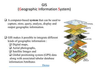
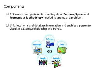
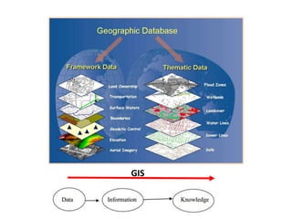
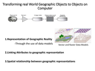
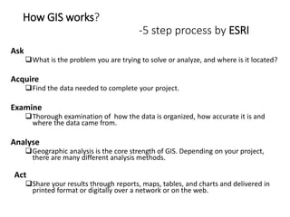
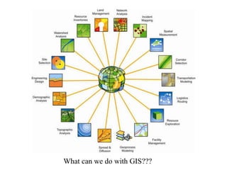
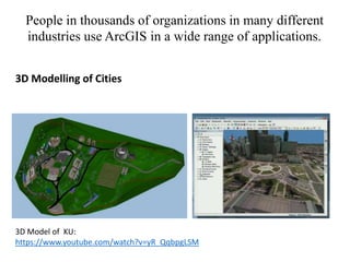
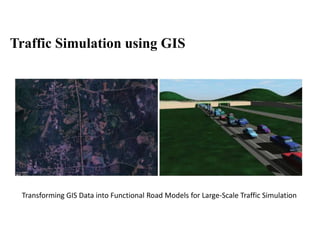
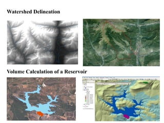
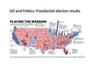

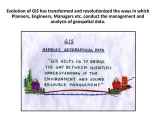

GIS is a computer system for capturing, storing, analyzing and displaying geographic information. It allows users to integrate digital maps, aerial photos, satellite images and GPS data. The presentation introduces GIS components, data models, how GIS works in a 5 step process, and examples of GIS applications for 3D city modeling, traffic simulation, watershed delineation and political analysis. It also discusses the ArcGIS software suite, including ArcMap for mapping, ArcCatalog for data management and ArcToolbox for geoprocessing tools.


