Downloaded 881 times


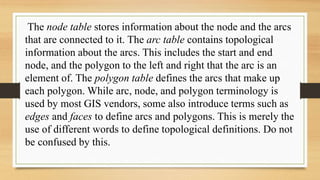


Topology refers to the spatial relationships between GIS features or objects. It is important for network routing and maintaining data quality and integrity when features are shared across layers. Geodatabases provide the strongest topological functionality, storing relationships in topology rules and feature classes. The node-arc data model represents the most common topology, with nodes at intersections and endpoints and arcs between nodes forming polygons. Topology allows for analysis without coordinate data but establishing topology is time-consuming.