Downloaded 37 times
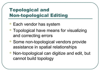
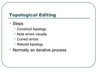
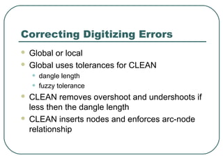
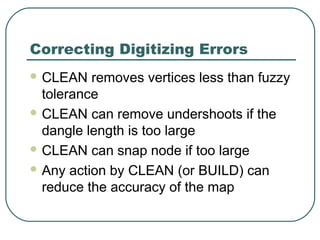
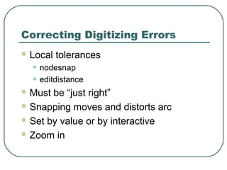
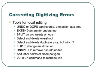

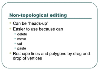

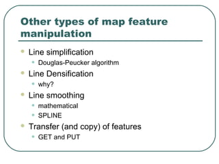

This document discusses types of errors that can occur during spatial data editing and digitizing, including location errors, mechanical errors, human errors, and topological errors. It describes tools and processes for correcting errors such as CLEAN, nodesnap, editdistance, EXTEND, SPLIT, and edgematching. Both topological and non-topological editing approaches are covered.


