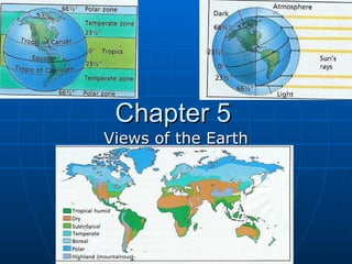
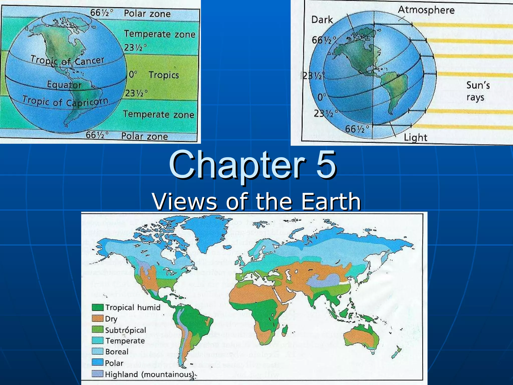
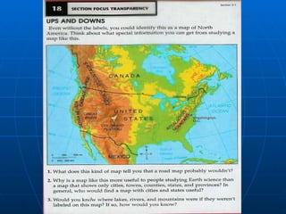
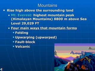
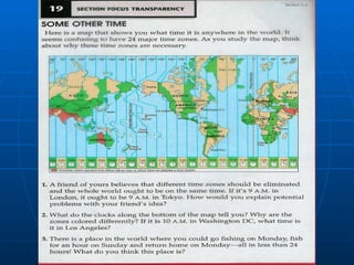
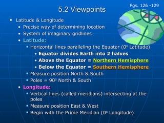
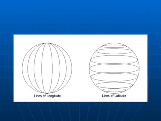
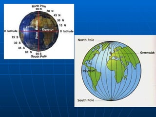
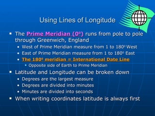
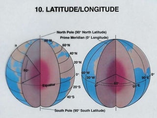
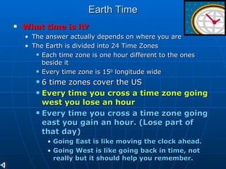
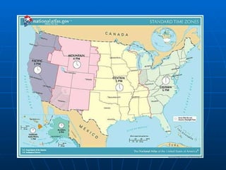
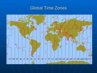
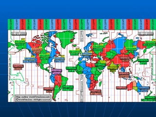
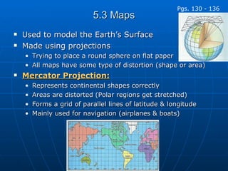
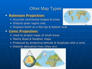
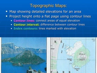
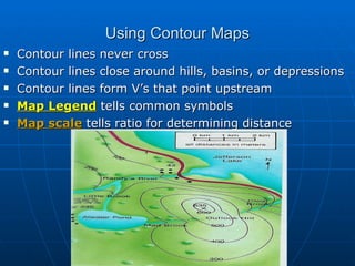
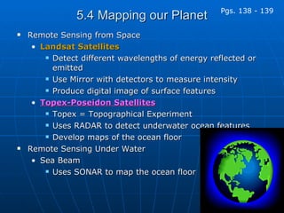
The document provides an overview of landforms, views of Earth, and mapping techniques. It discusses the three main landforms - plains, plateaus, and mountains - and how each forms. It then covers latitude and longitude for determining locations, global time zones, and types of map projections like Mercator and topographic maps using contour lines. Finally, it discusses remote sensing techniques from satellites and underwater to map and study Earth's surface and oceans.