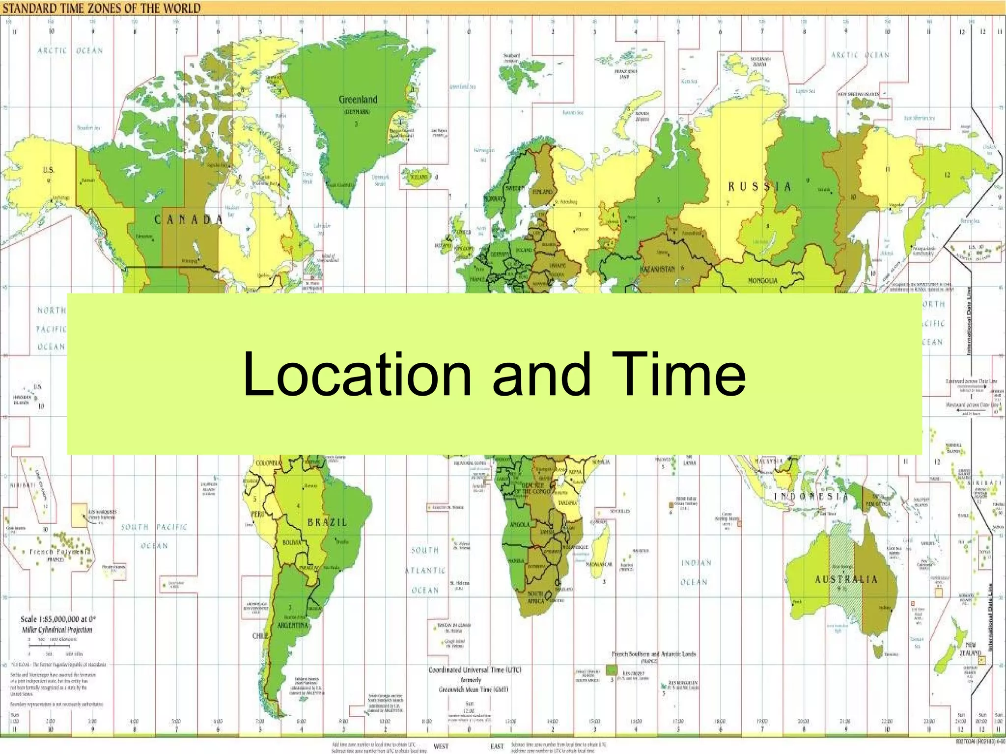
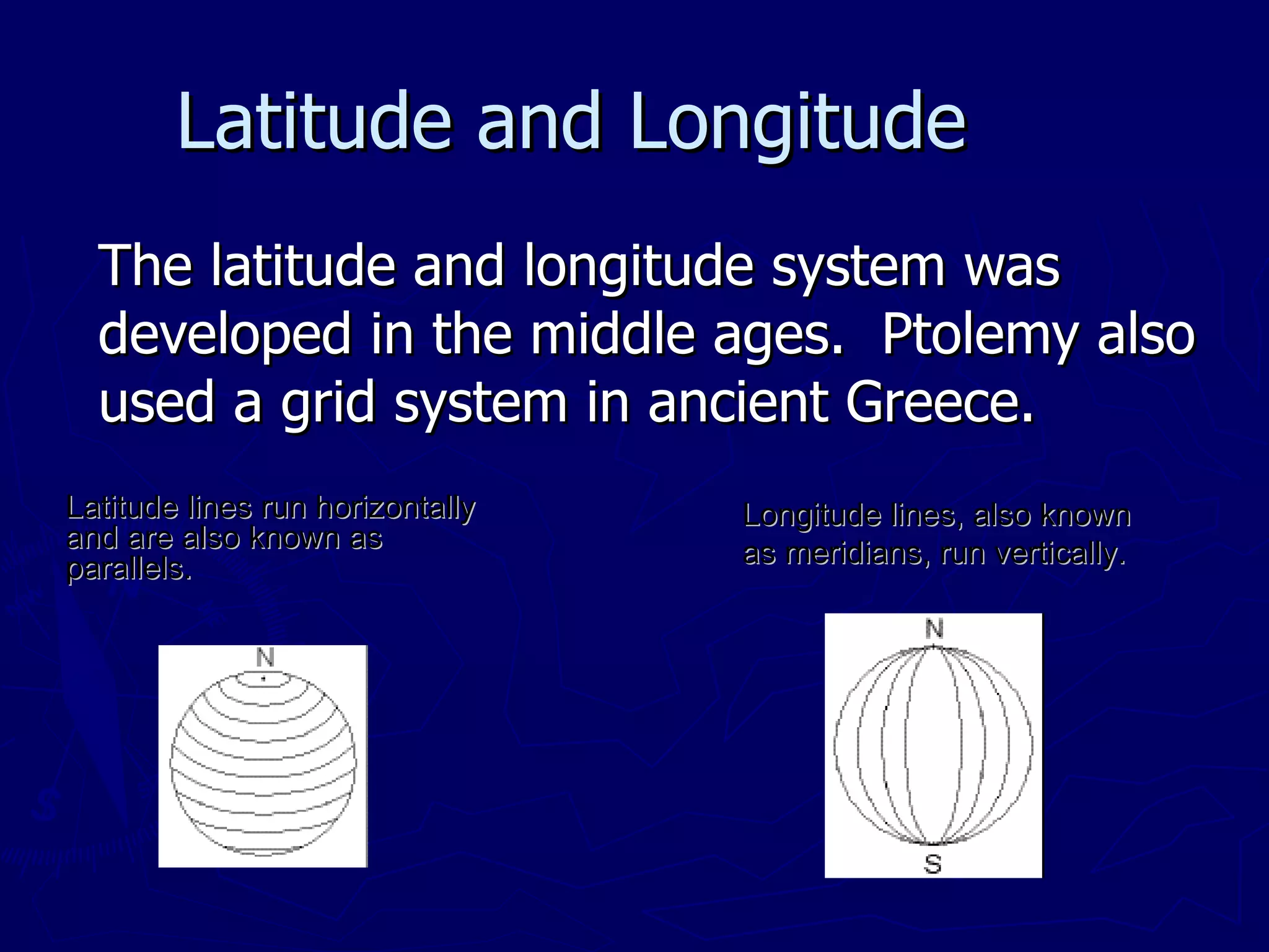
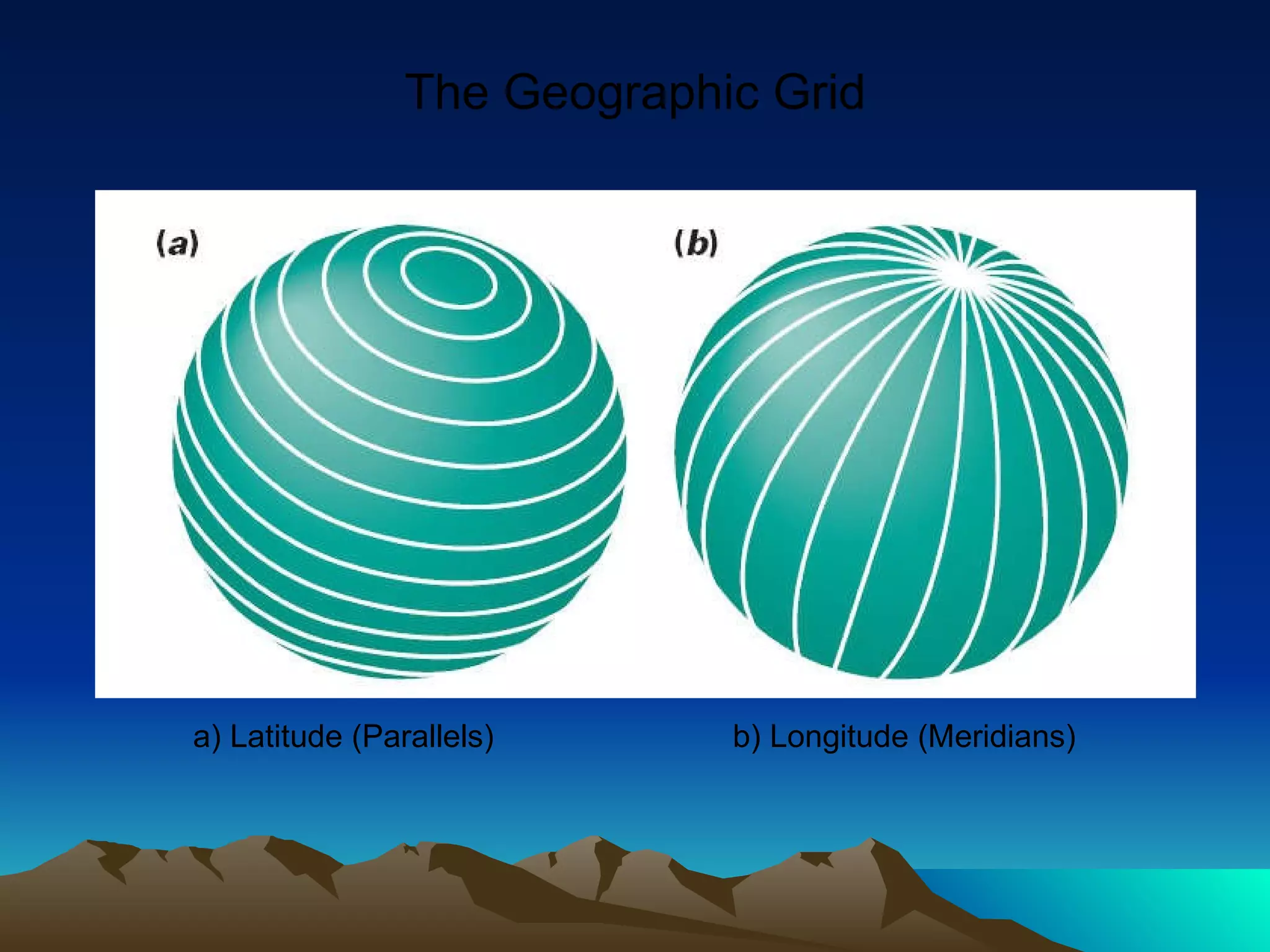
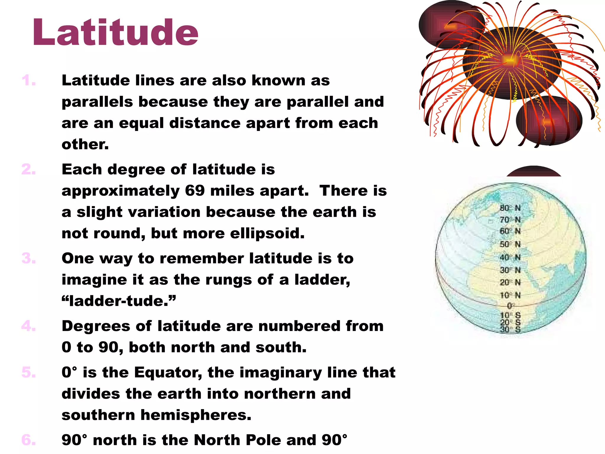
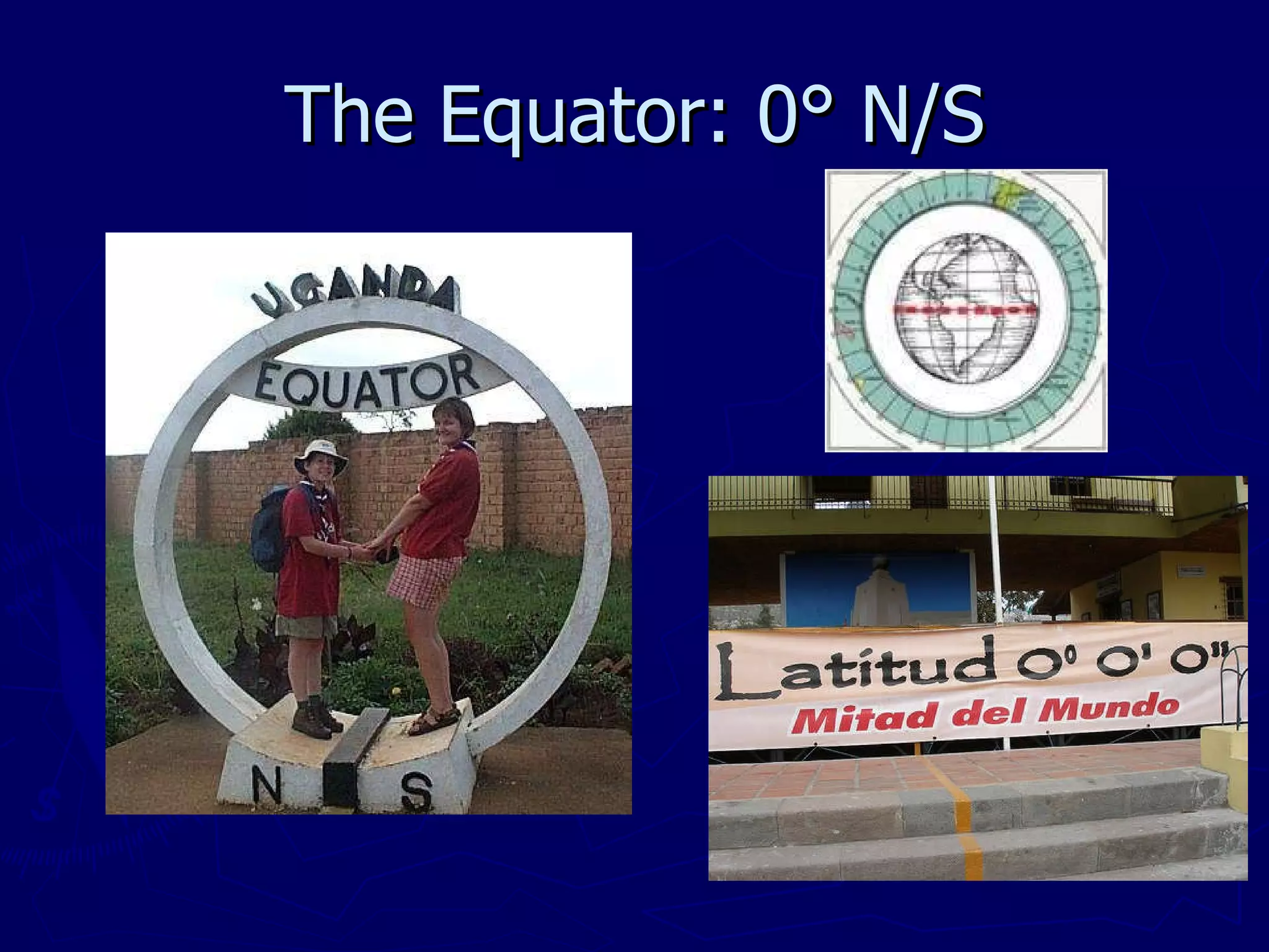
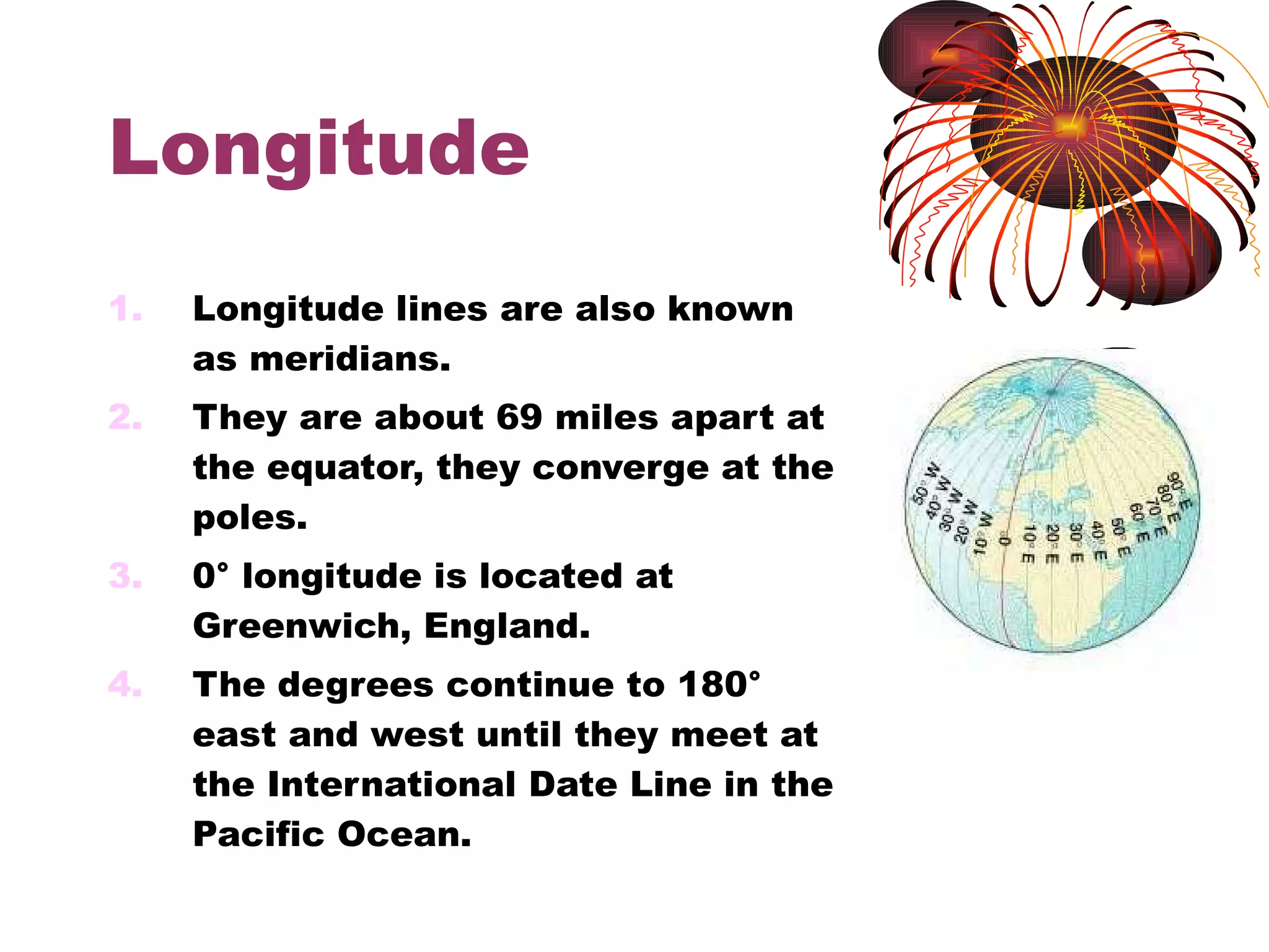
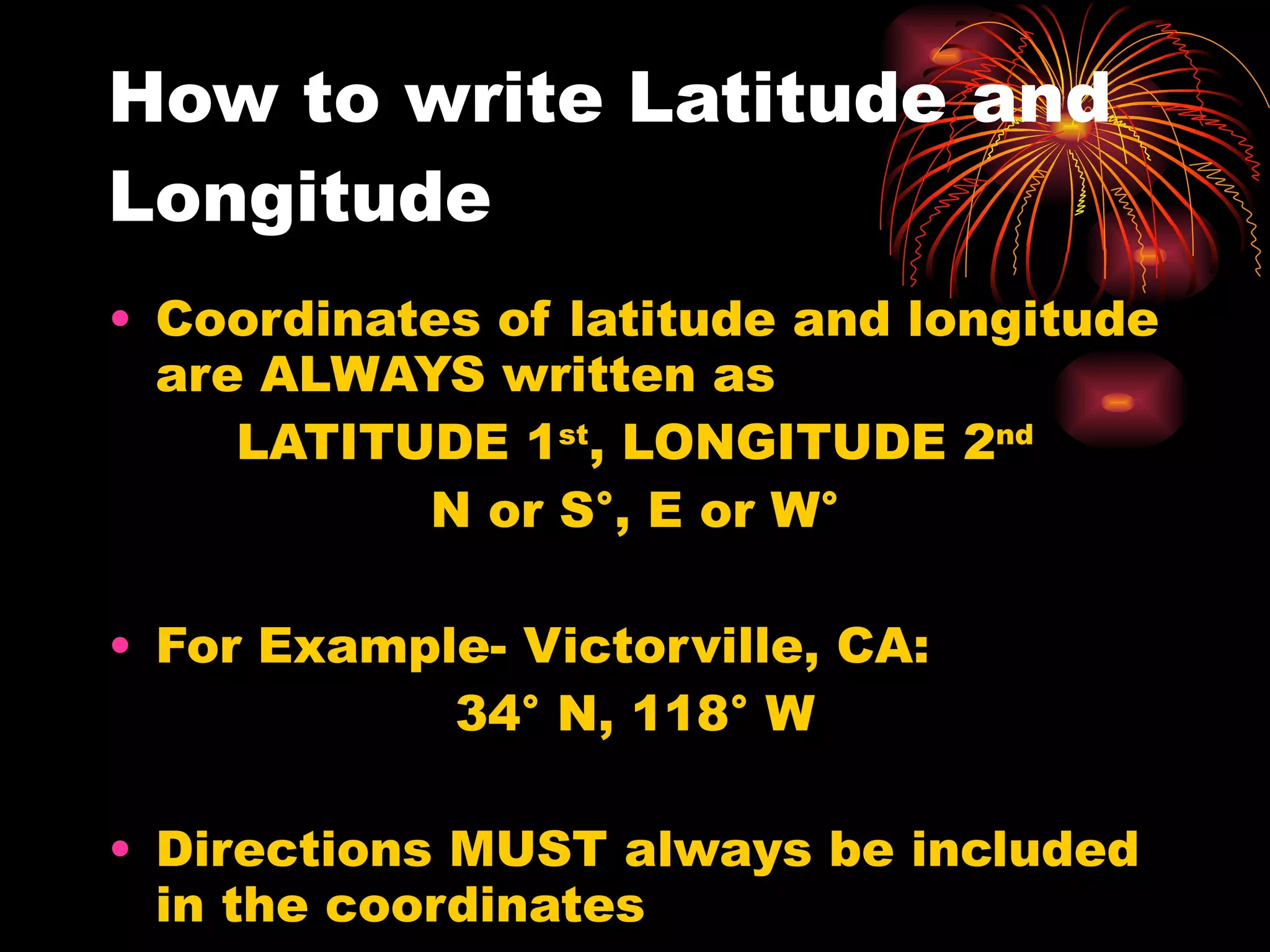
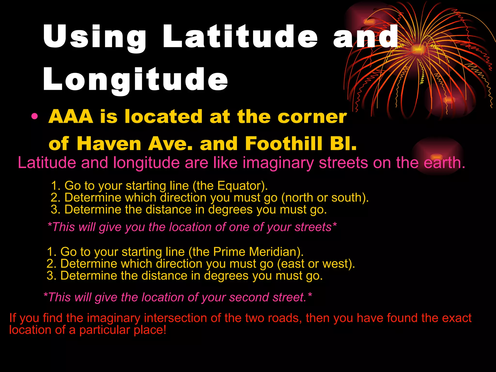
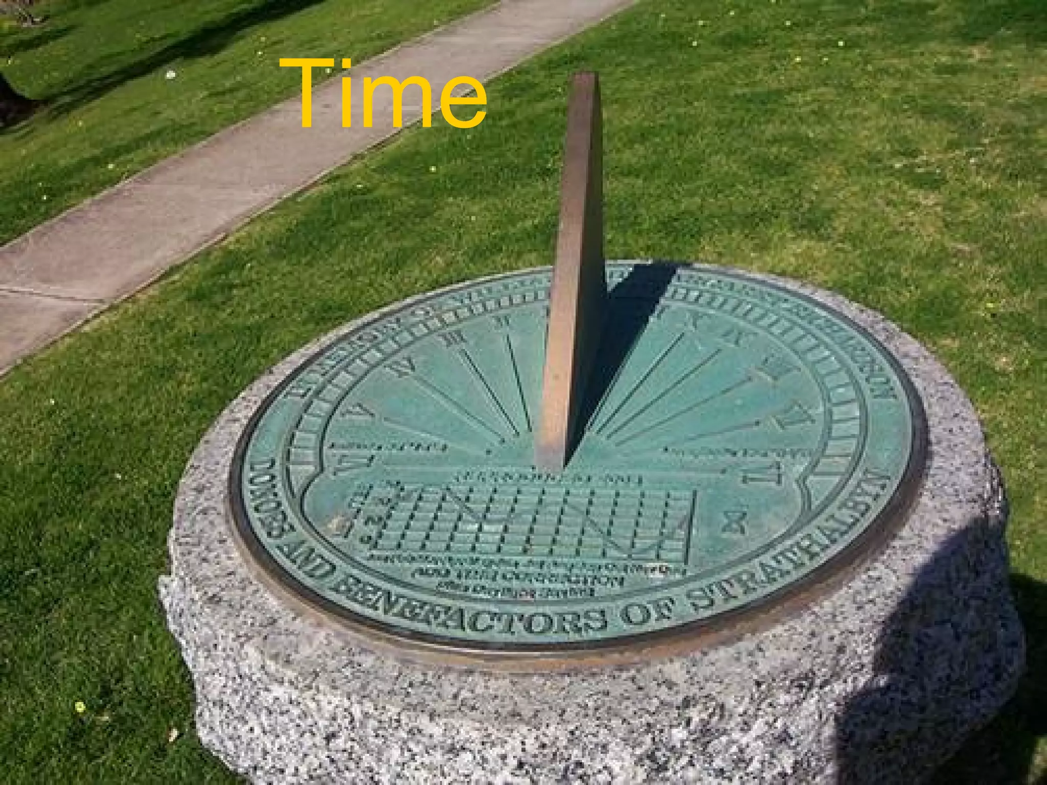
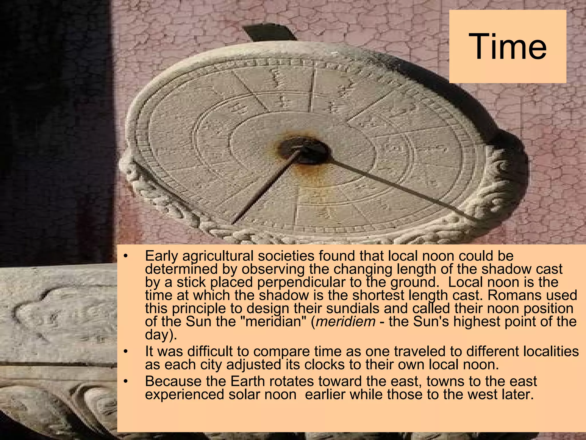
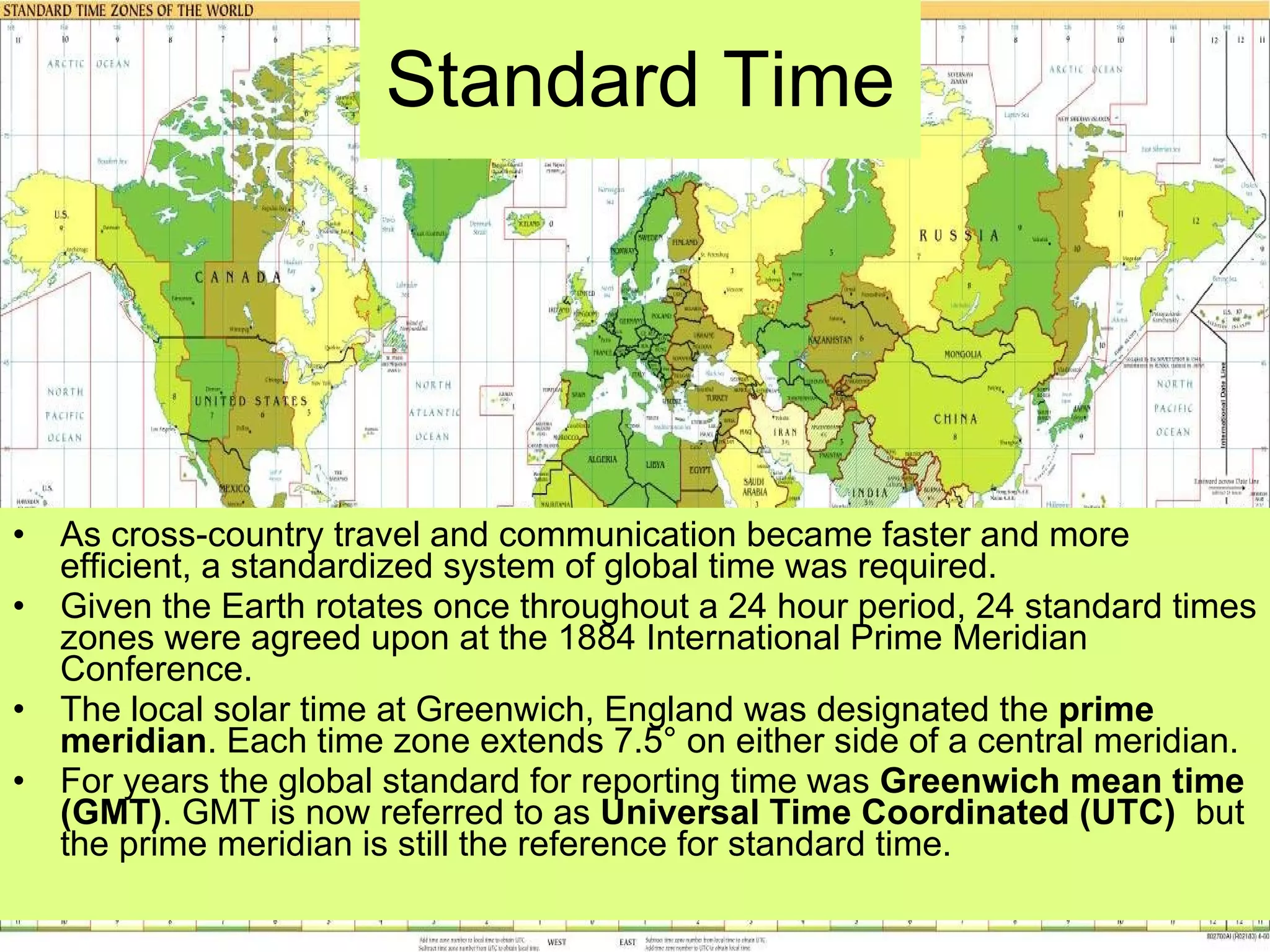
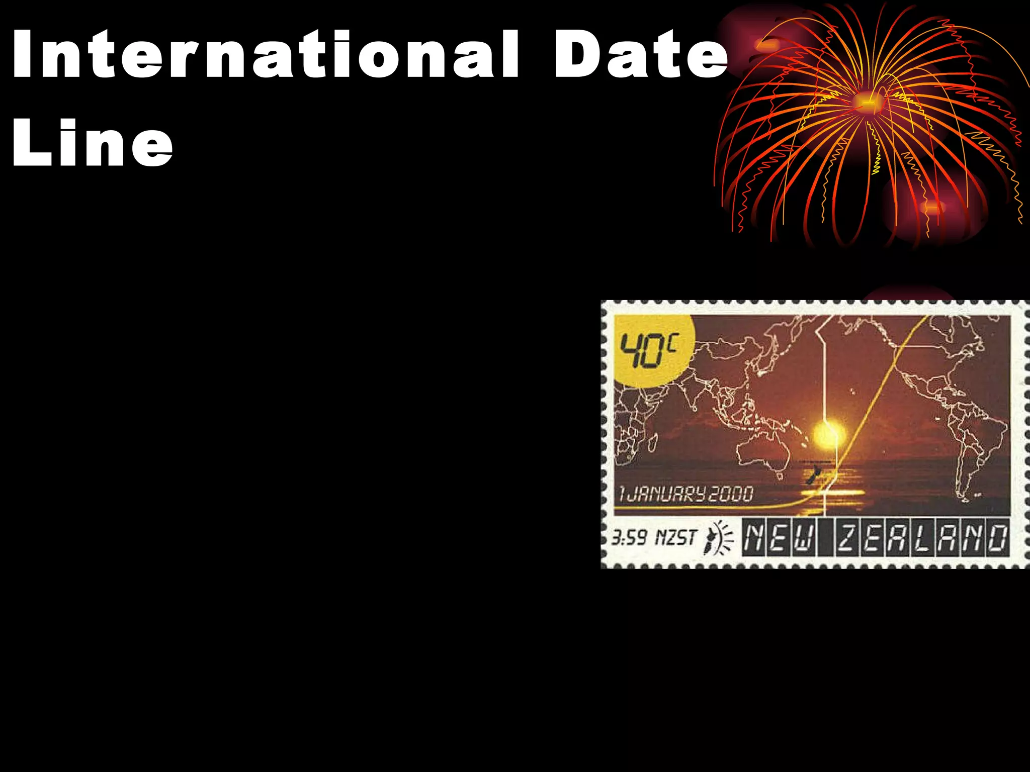
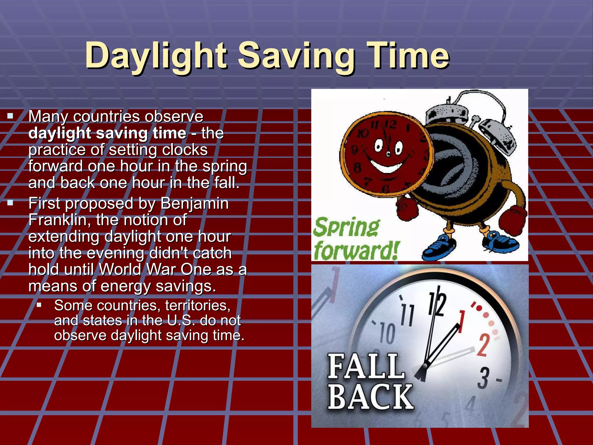
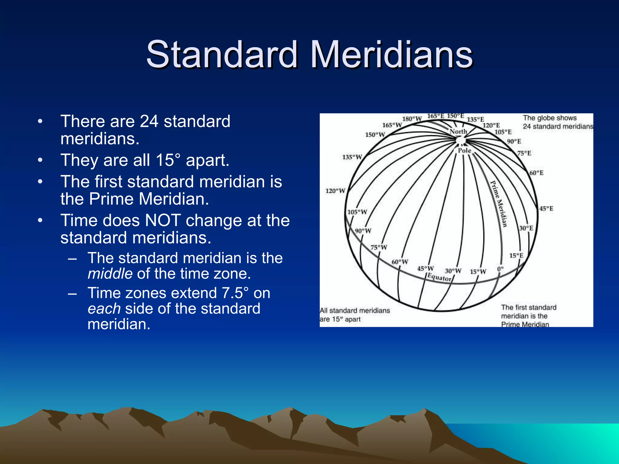
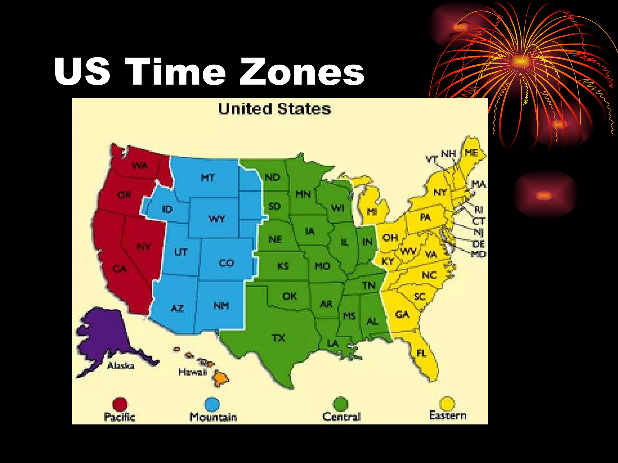
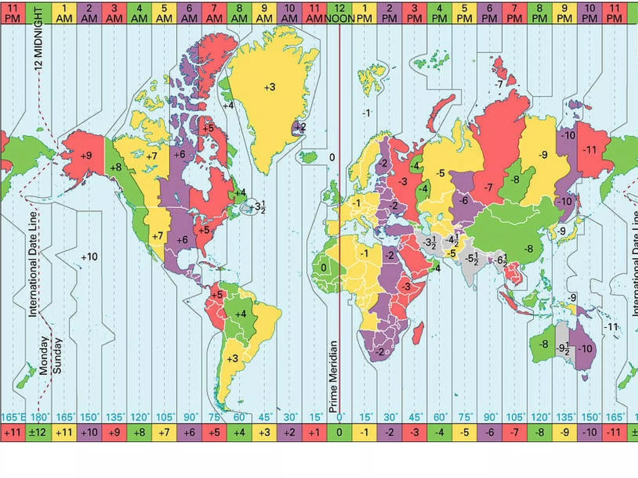
The document discusses latitude and longitude, which are used to locate positions on Earth. Latitude lines run horizontally around the globe and indicate how far north or south a place is from the equator. Longitude lines run vertically and indicate how far east or west a place is from the prime meridian in Greenwich, England. Together, a latitude and longitude coordinate precisely locates any place on Earth. The document also discusses time zones and standard time, which were developed to allow for consistent timekeeping across different regions as travel and communication expanded globally.


![International spheroid[1]](https://cdn.slidesharecdn.com/ss_thumbnails/internationalspheroid1-130817100358-phpapp02-thumbnail.jpg?width=640&height=640&fit=bounds)


![Latitudes and Longitudes [Autosaved].pptx](https://cdn.slidesharecdn.com/ss_thumbnails/latitudesandlongitudesautosaved-221031193426-8f2f0591-thumbnail.jpg?width=640&height=640&fit=bounds)


