Mapping Earth & Space sciences 2011 acloutier copyright
•
25 likes•734 views

This document provides an overview of mapping Earth and space. It discusses how early cartographers only knew small parts of the world around Europe and the Middle East. It describes the development of tools like the compass and prime meridian that helped establish global coordinates of latitude and longitude. It also summarizes different map projections and types as well as technologies like GPS and remote sensing satellites that have advanced our ability to map and study Earth and space.
![Planet Earth is a sphere ,[object Object],[object Object],[object Object],[object Object]](data:image/gif;base64,R0lGODlhAQABAIAAAAAAAP///yH5BAEAAAAALAAAAAABAAEAAAIBRAA7)
Recommended
More Related Content
What's hot
What's hot (19)
Similar to Mapping Earth & Space sciences 2011 acloutier copyright
Similar to Mapping Earth & Space sciences 2011 acloutier copyright (20)
More from Annie C. Cloutier
More from Annie C. Cloutier (20)
Recently uploaded
Recently uploaded (20)
Mapping Earth & Space sciences 2011 acloutier copyright
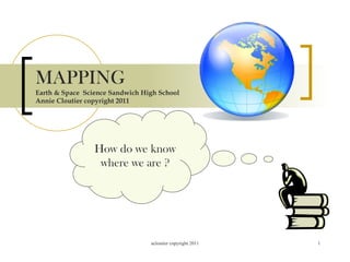
- 1. MAPPING Earth & Space Science Sandwich High School Annie Cloutier copyright 2011 How do we know where we are ?
- 3. Early maps of the world Remember, we thought the world might be flat for a time No one has mapped the new world
- 6. One foot is in the East and the other foot is in the West
- 8. International Date Line 180*West <<<< IDL >>>> 180* East If you were traveling west across the IDL you would move ahead one day If you were moving East across the IDL you would go back a day
- 11. USA main continent has four time zone Pacific Mountain Central Eastern
- 13. Mercator projection points and lines on the globe are transferred to a cylinder-shaped paper Parallel grid on a square paper
- 14. Conic projection - made by projecting lines and points from the globe onto a cone. The cone touches the globe at a particular line of LATITUDE. Little distortion of the area or shapes of the land masses. Distortion is obvious at the top and bottom. Conic maps give a high degree of accuracy for a small area. We Cone heads love conic maps. We sometimes wear them for hats
- 15. Gnomic Projections are maps that touch the globe at a single point they distort direction & distance *are very useful in plotting long-distance trips by air or sea
- 16. Topographic Maps are detailed maps showing changes in elevation of Earth’s surfaces
- 17. Contour lines connect points of equal elevations
- 18. Hachure lines show a depression or lowering of the elevation
- 19. Describe this landscape Can you find the cliff sides of this mountain ?
- 21. Length of waves of radiation = wavelength Radio waves are100,000 meters long Gamma waves are 0.00000000001 meters long Gamma waves have the highest frequency, radio has the lowest frequency
- 23. Landsat Topex Poseidon
- 25. GPS > Global Positioning System is a radio-navigation system using at least 24 satellites that allow the user to find exact position on Earth Latitude (North/South & Longitude East/West)
- 26. Time for worksheets !