Downloaded 189 times
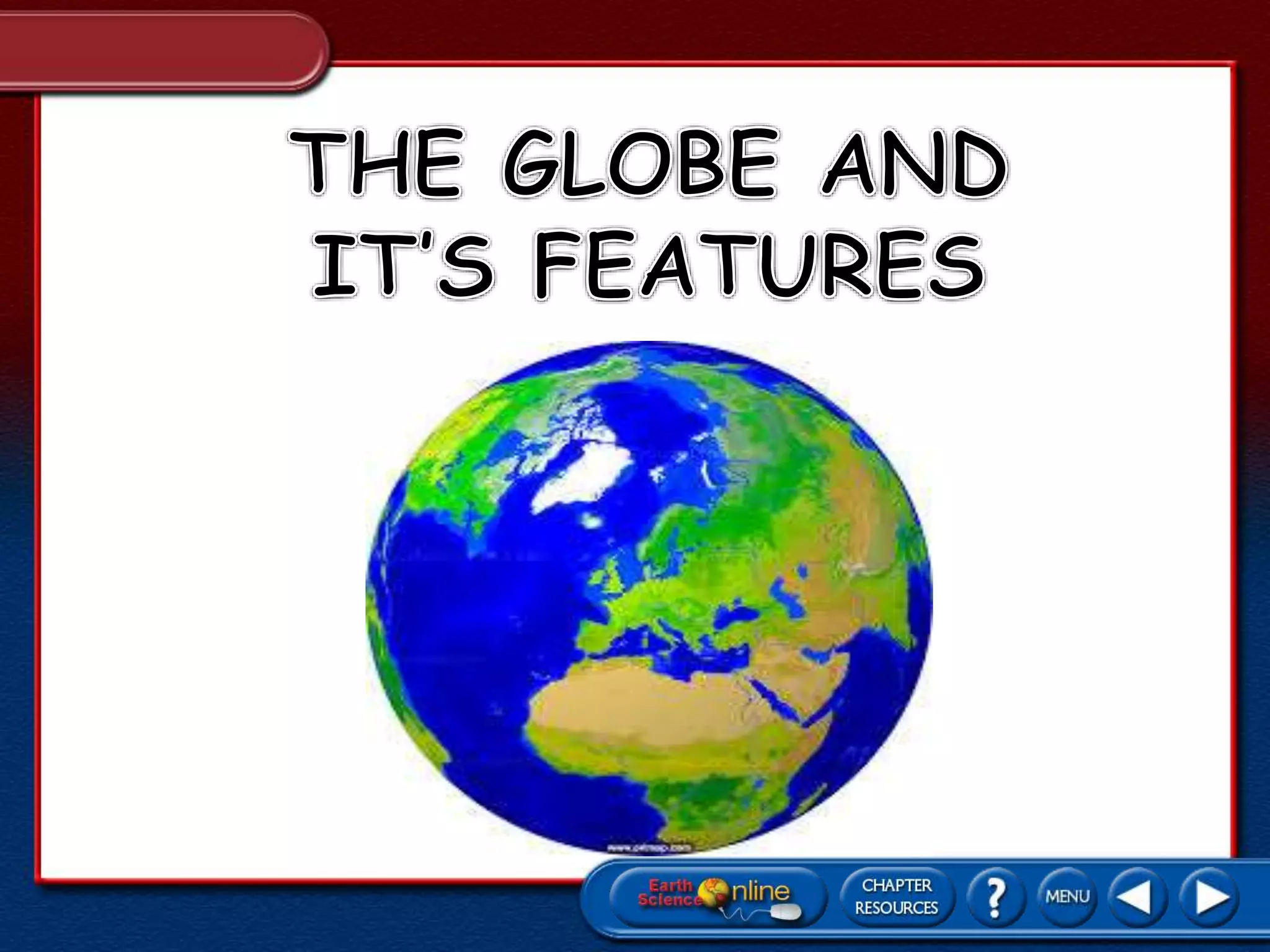
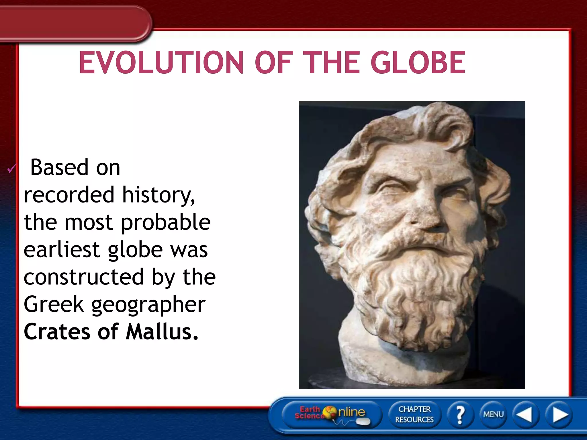
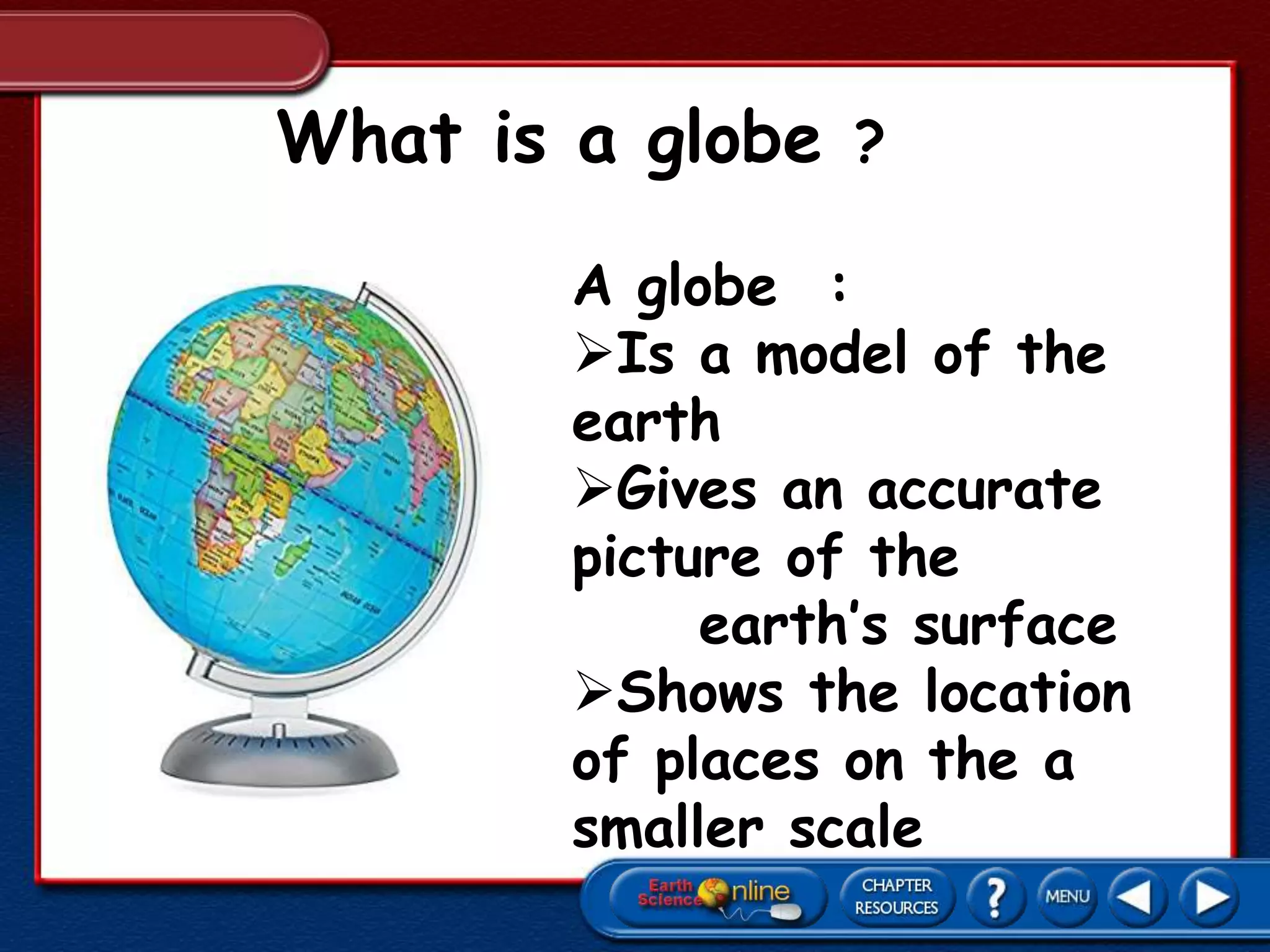
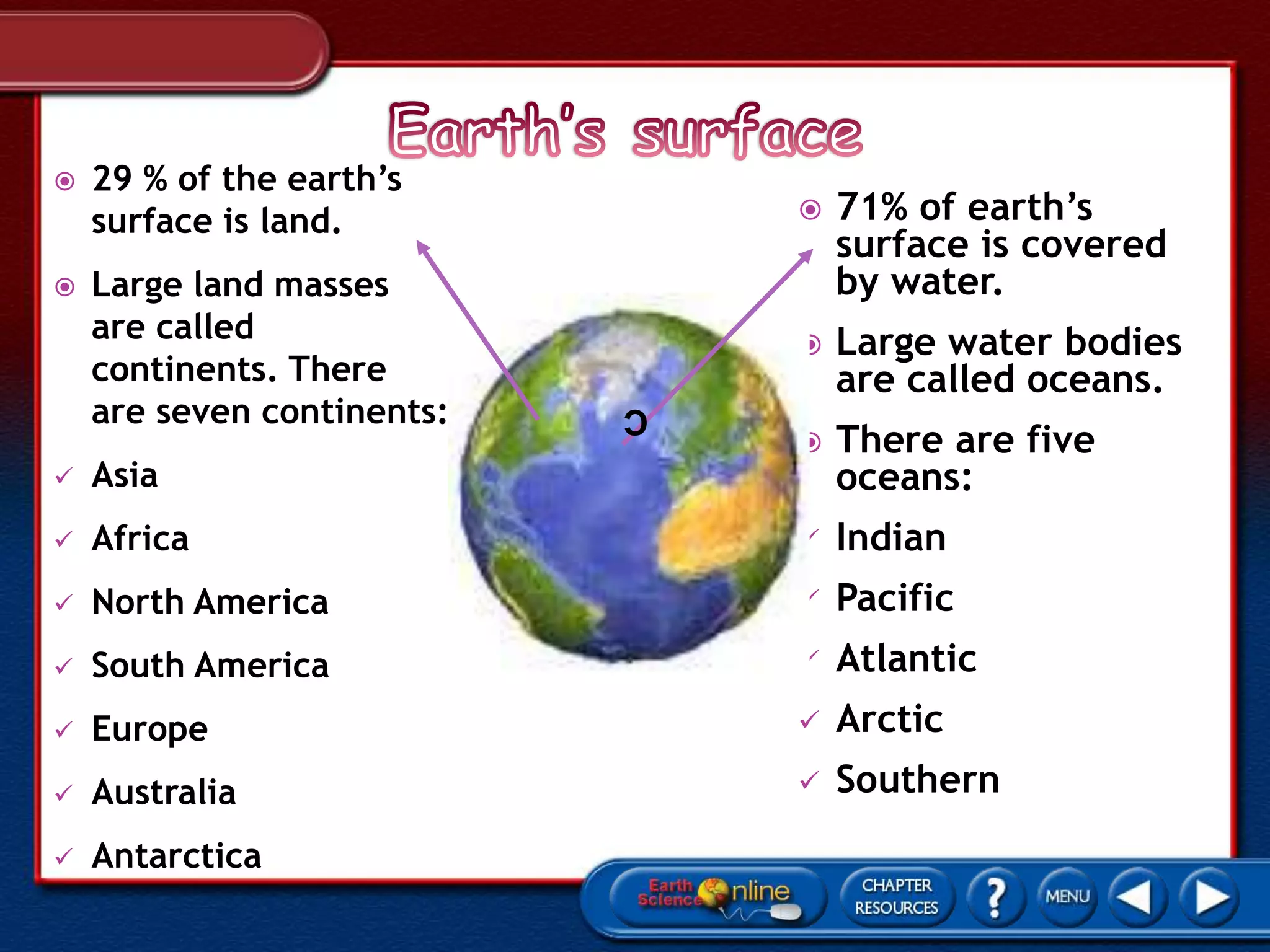
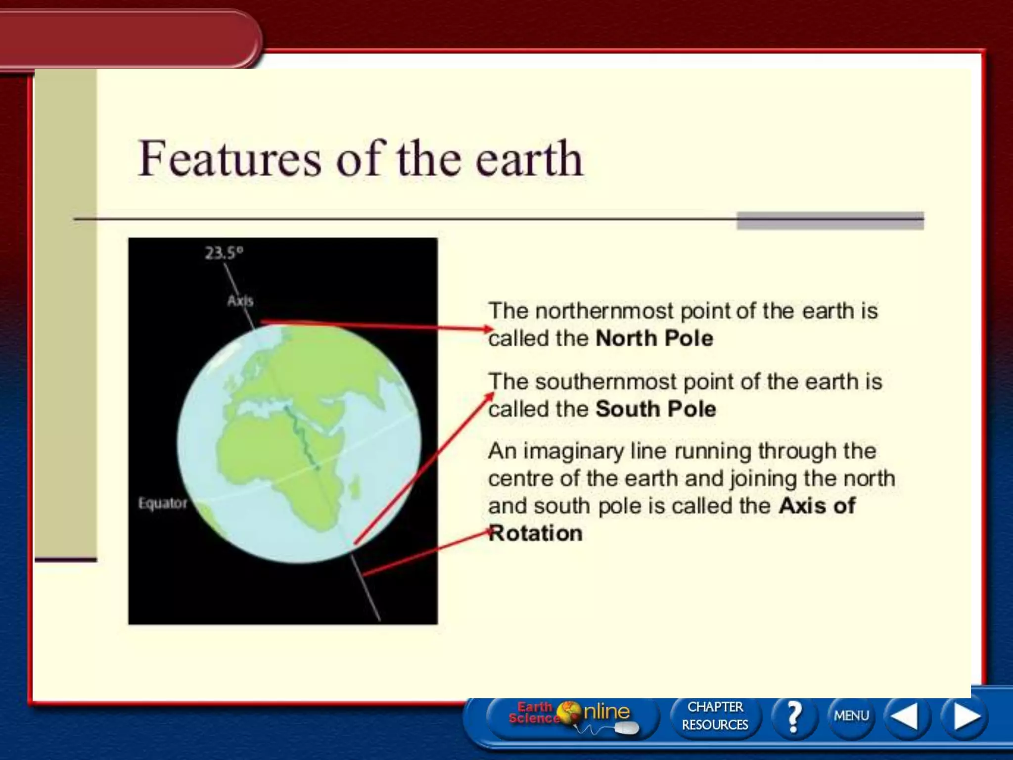
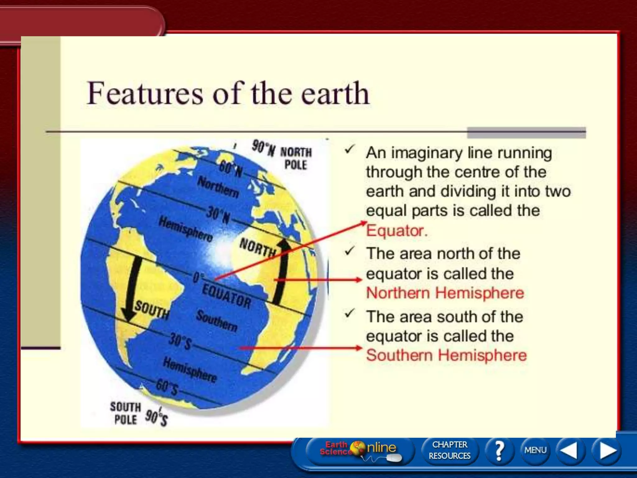
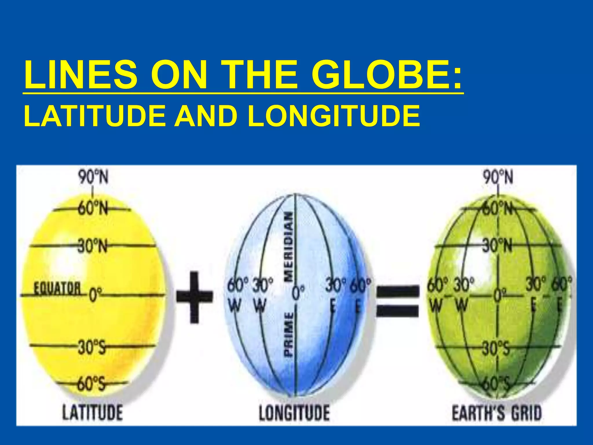
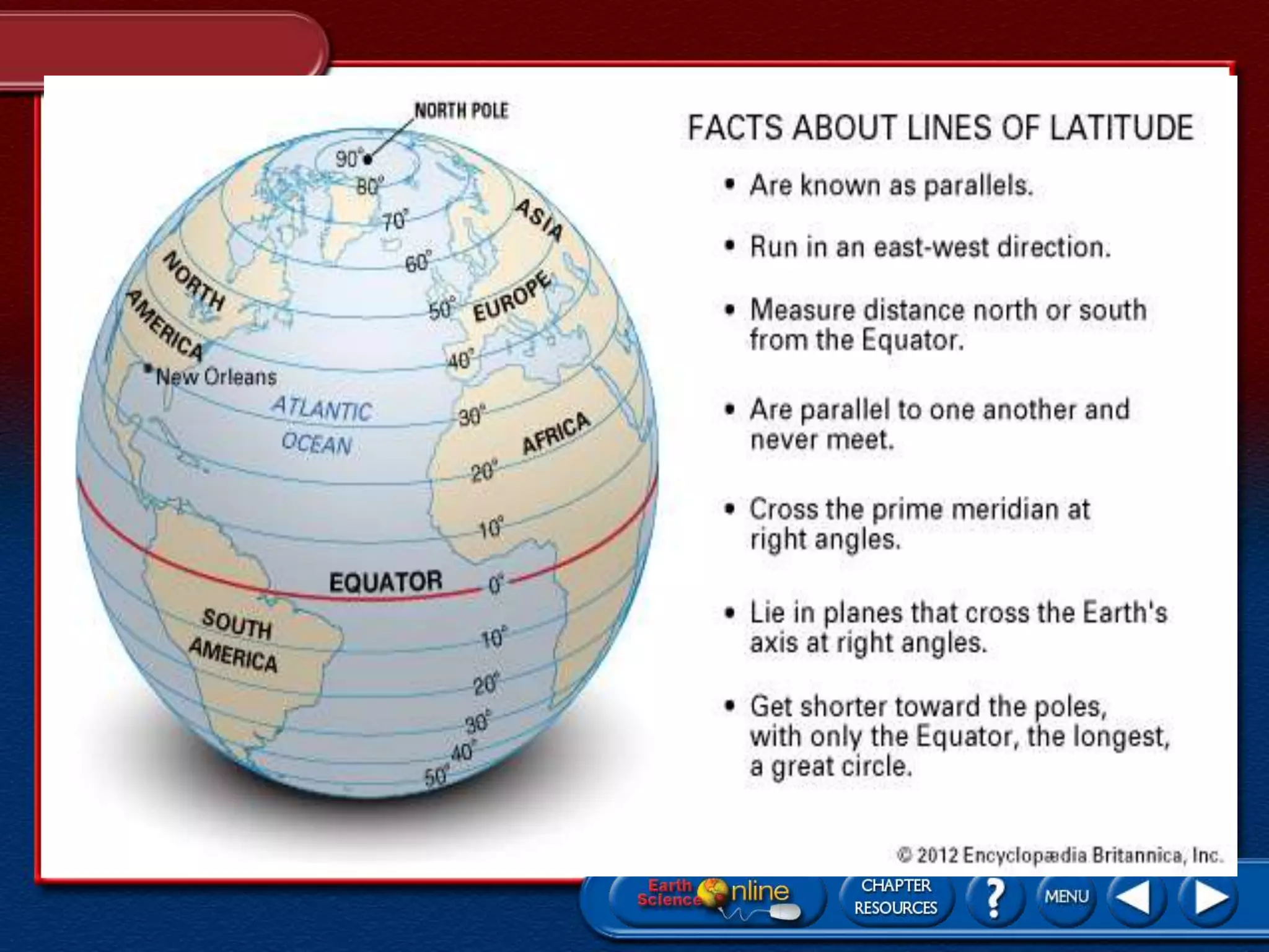
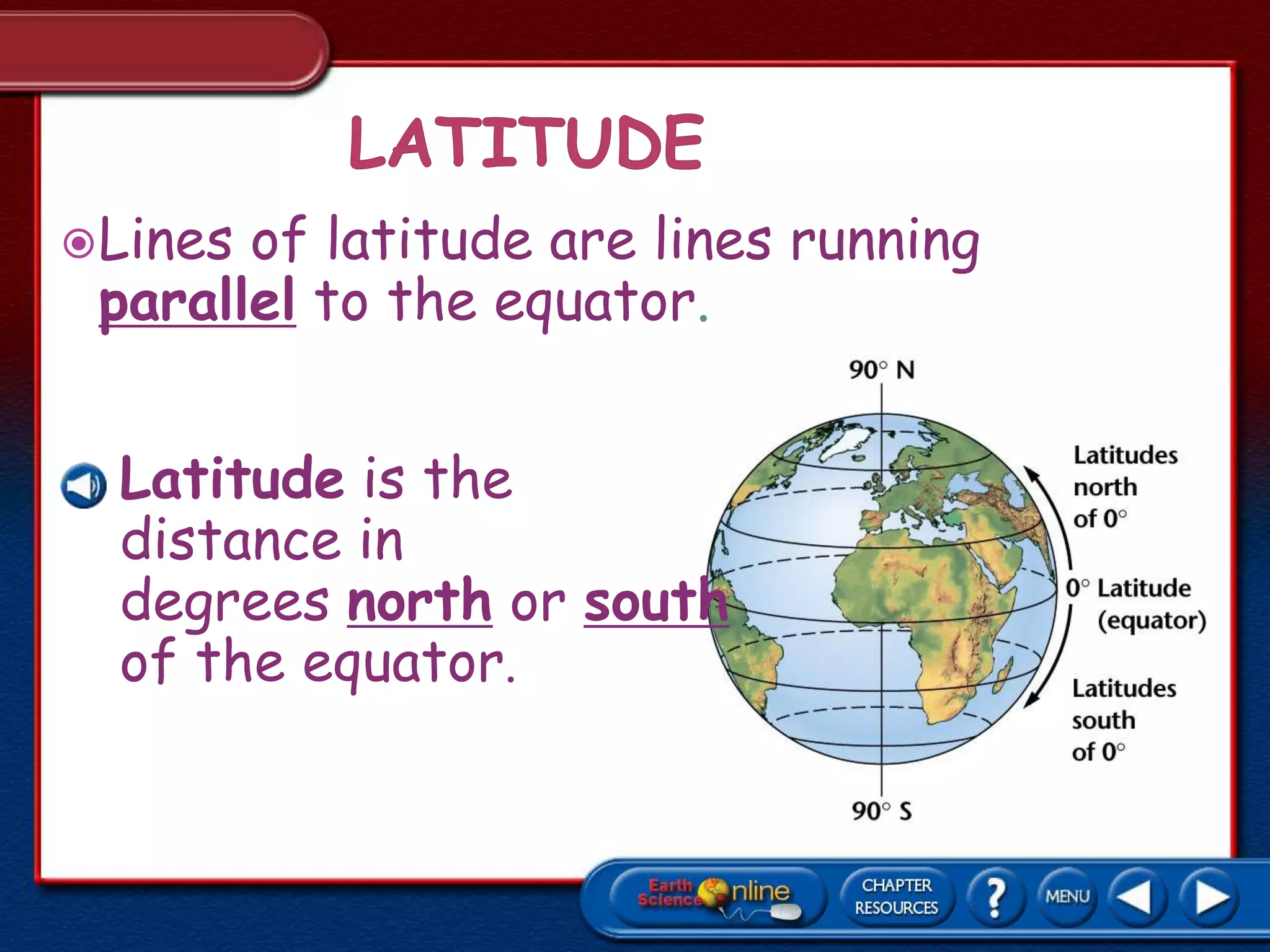
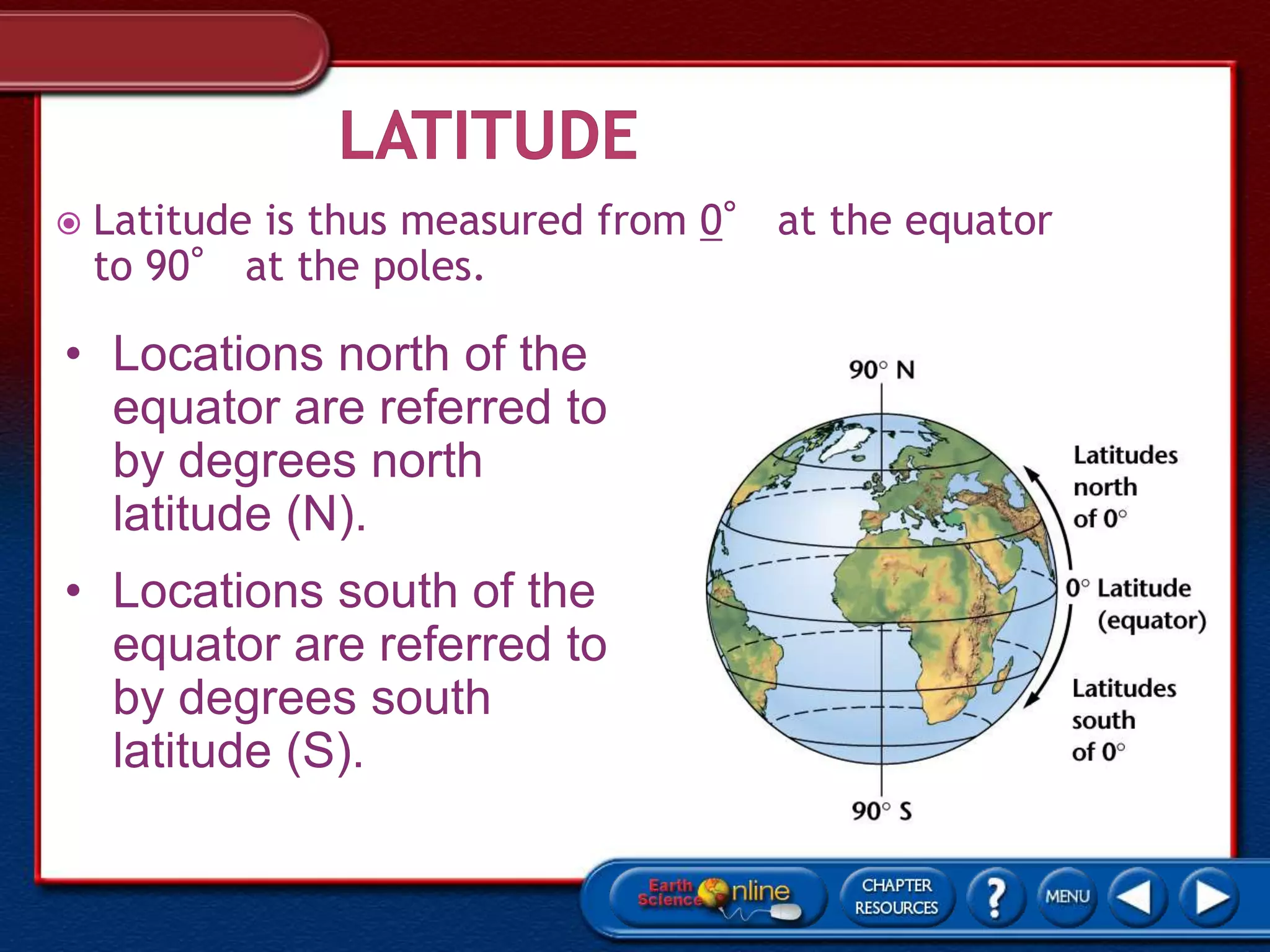
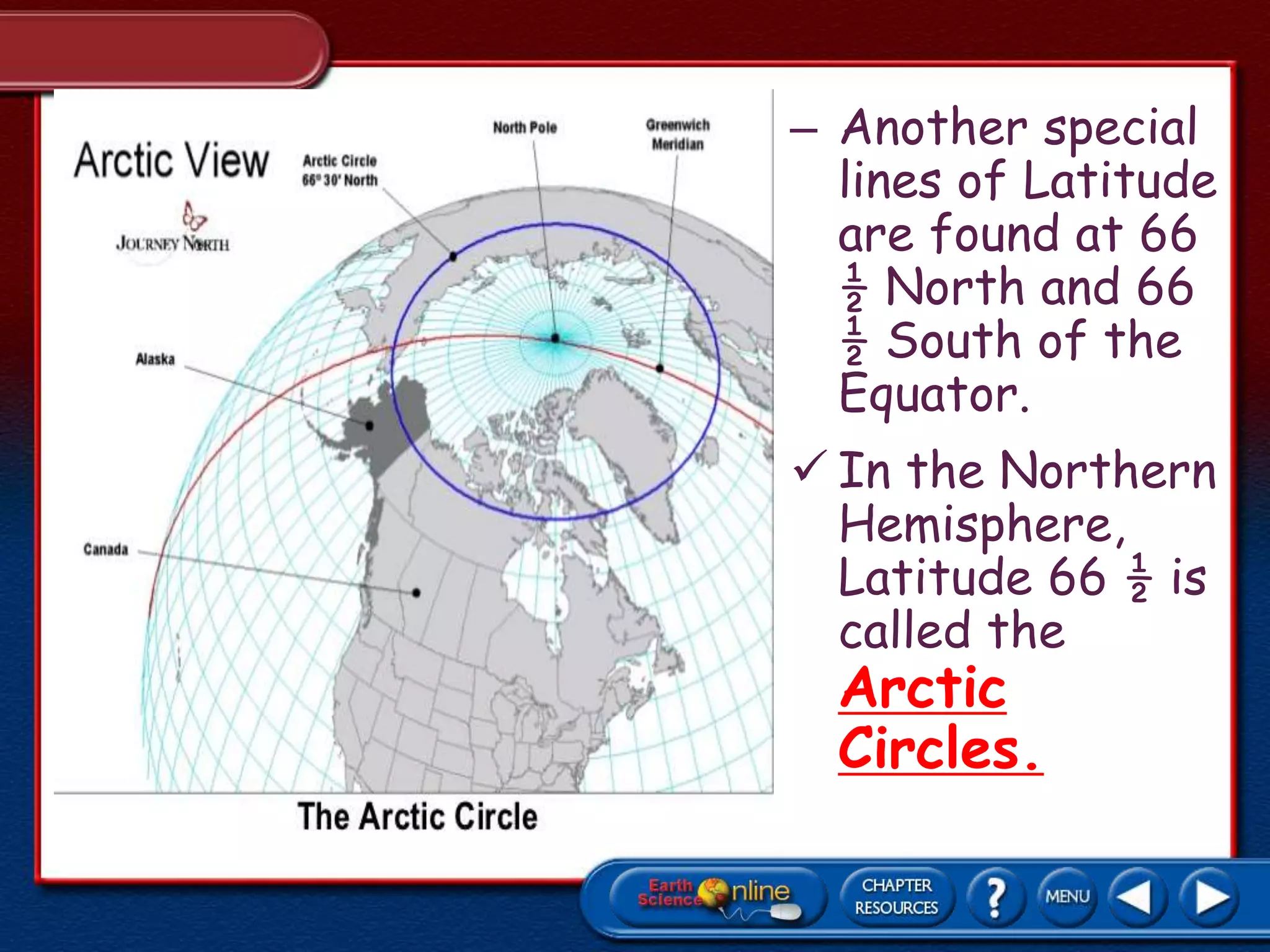
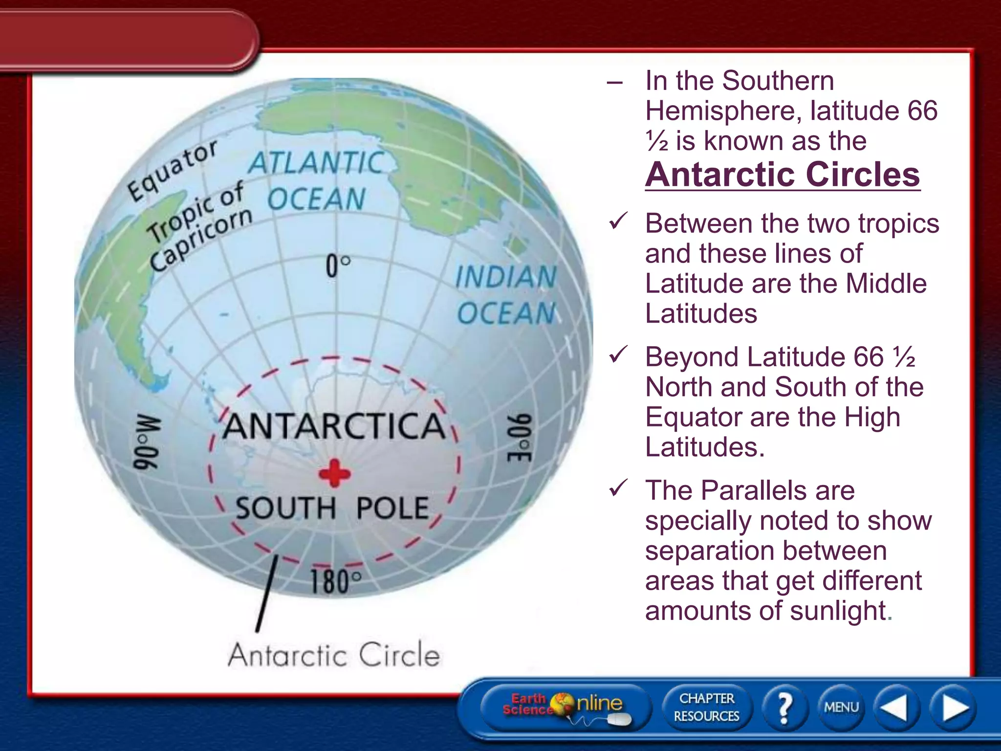
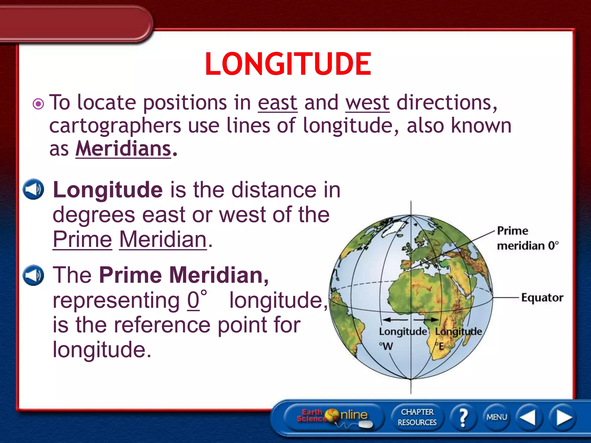
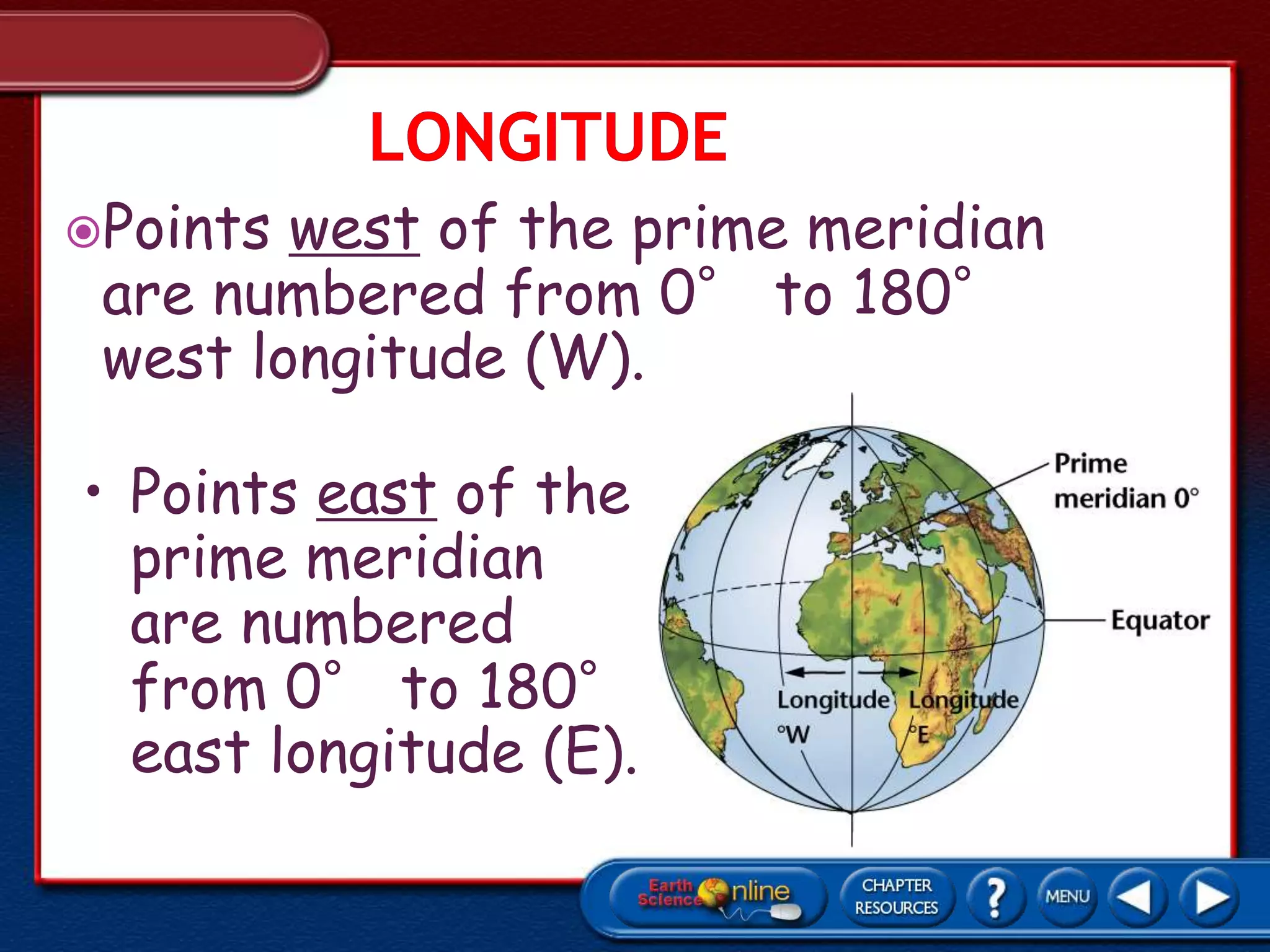
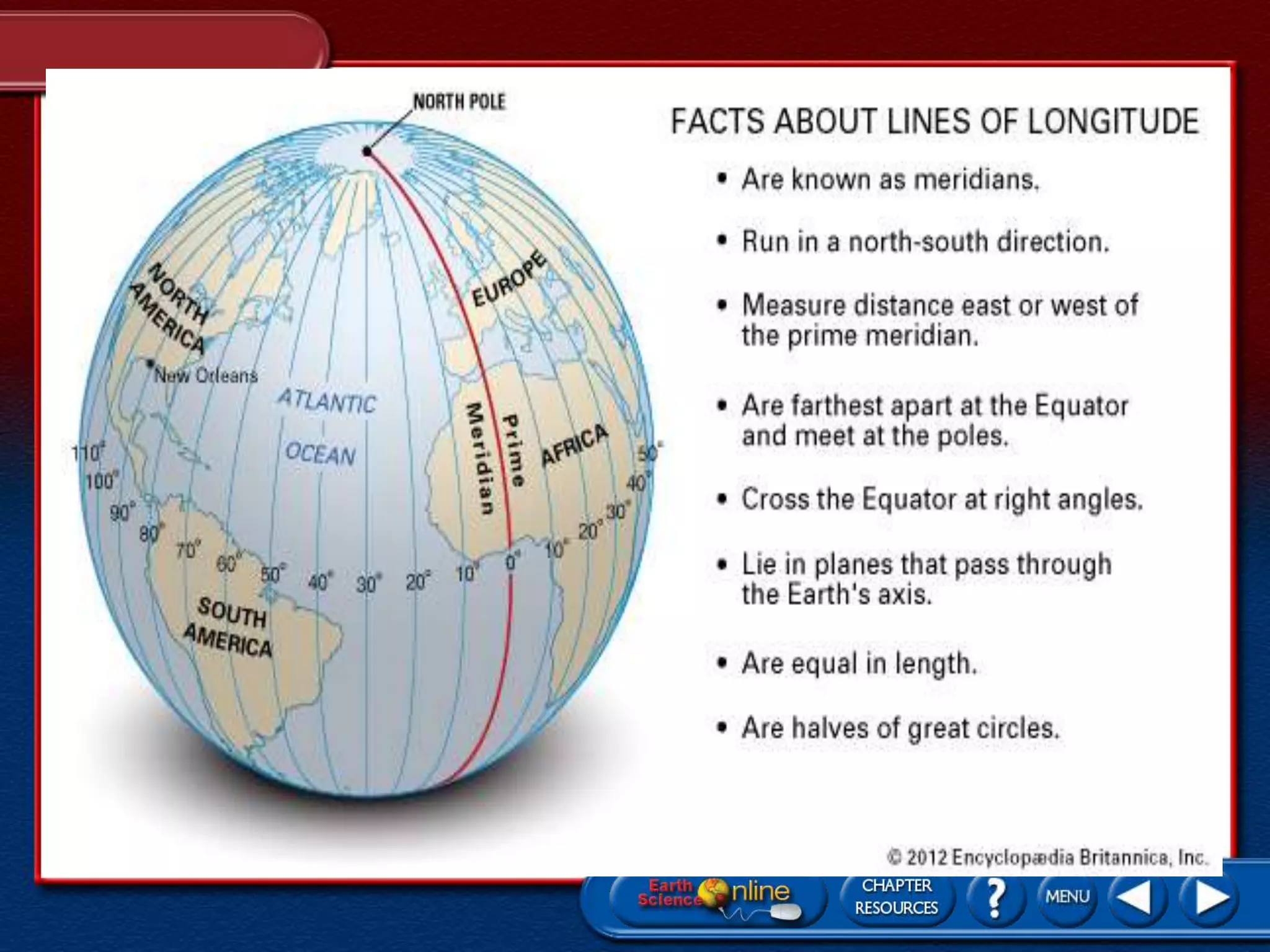
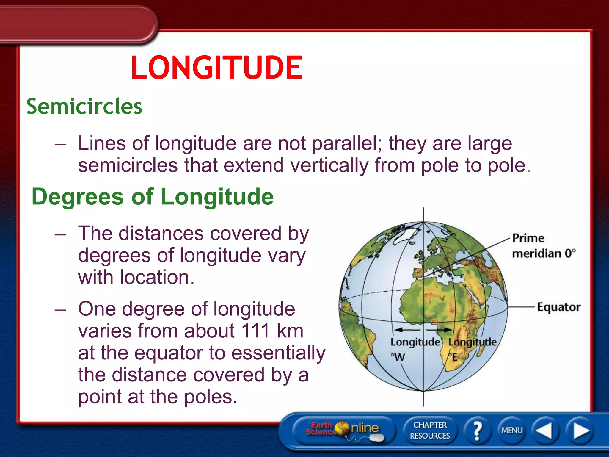
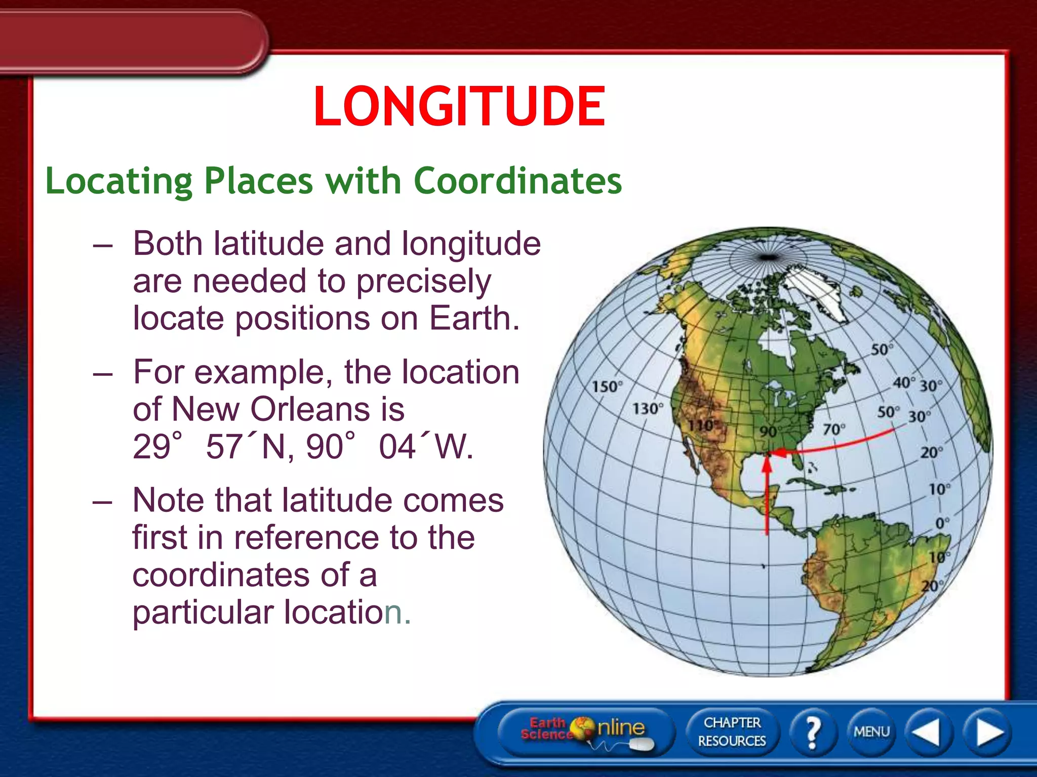
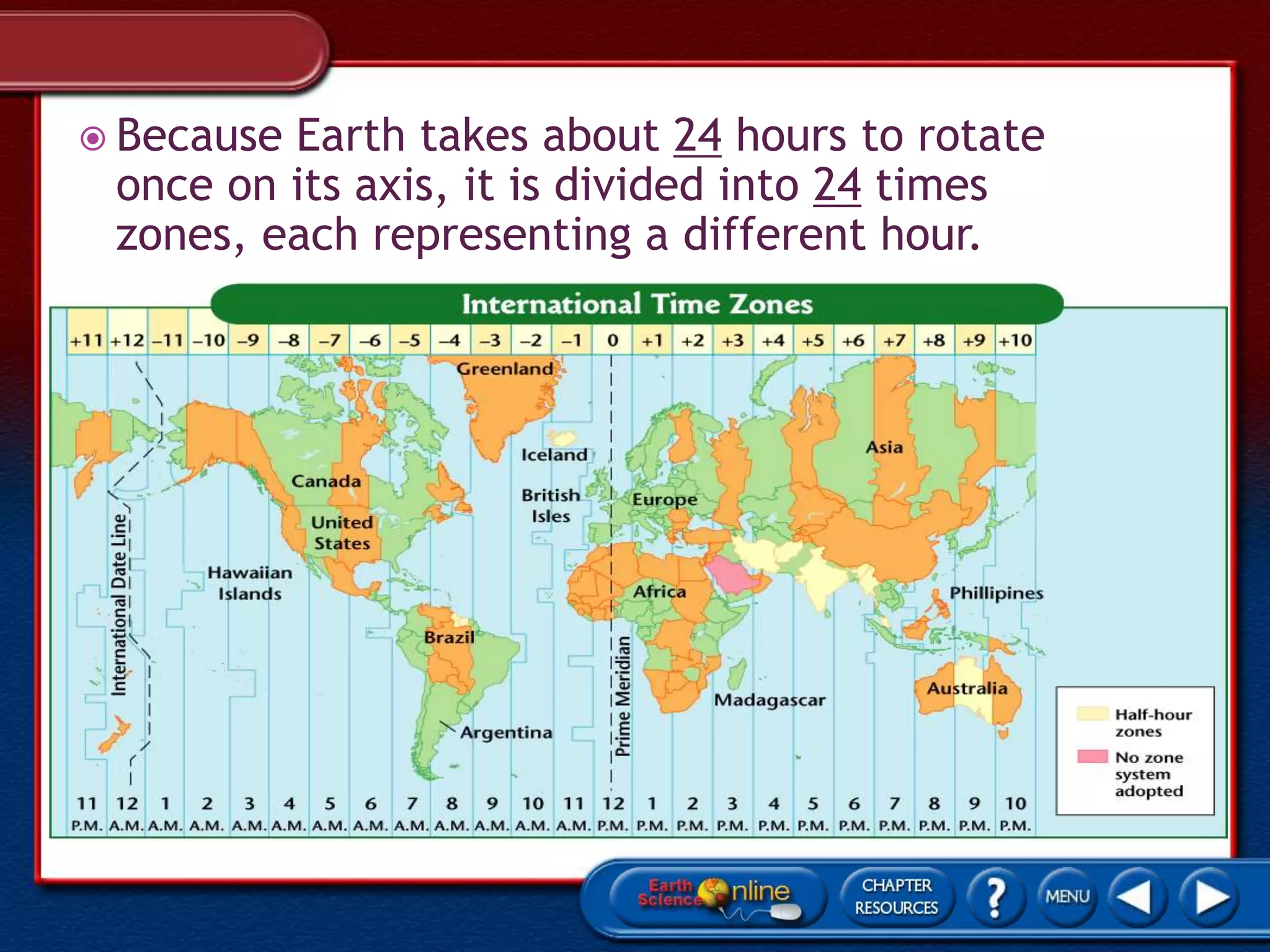
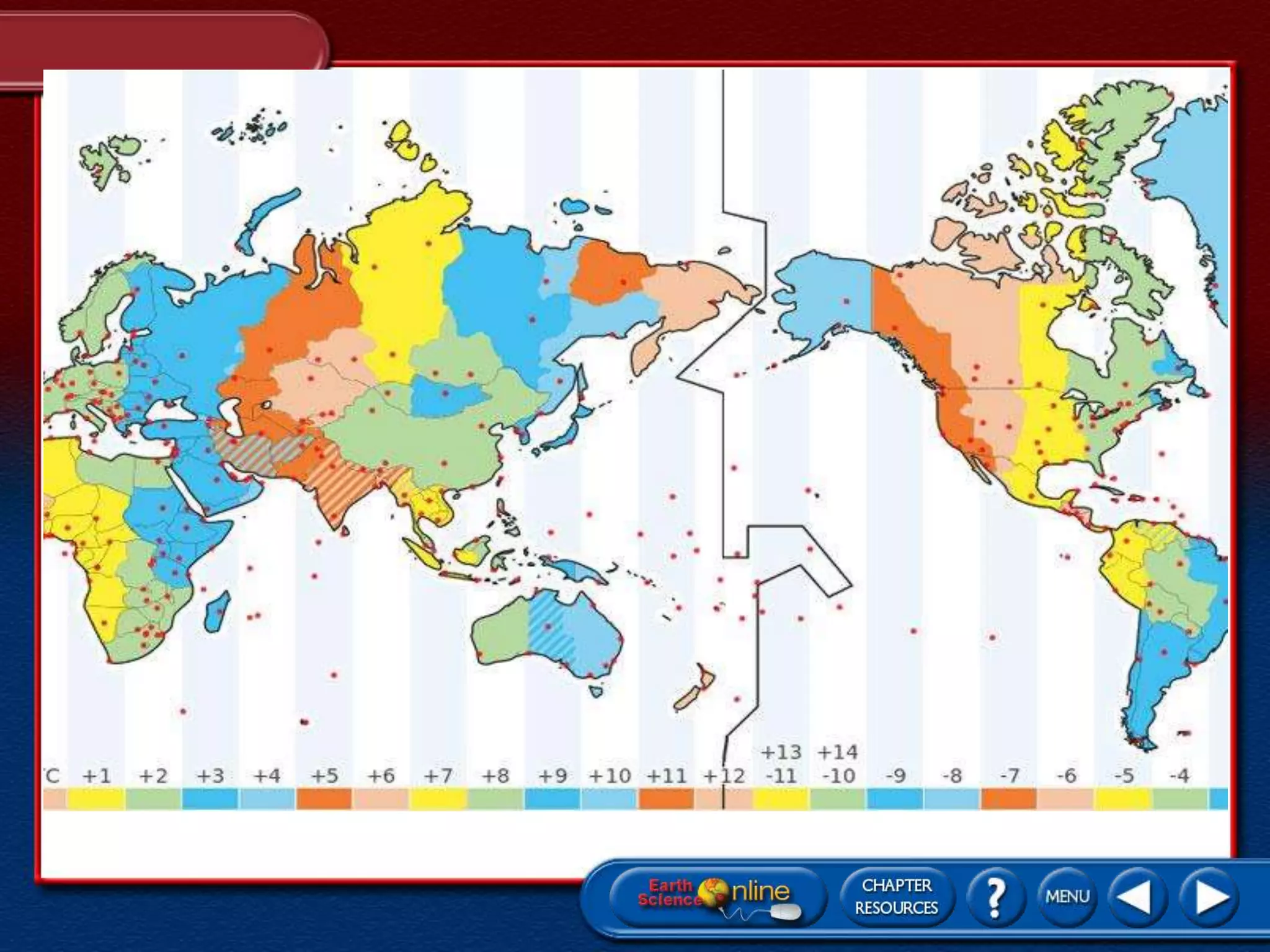
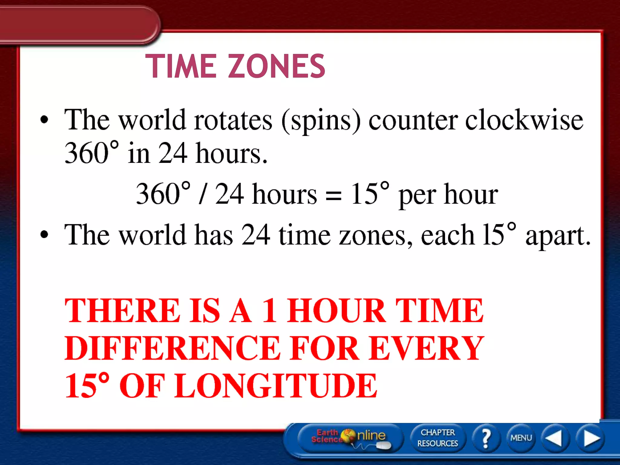
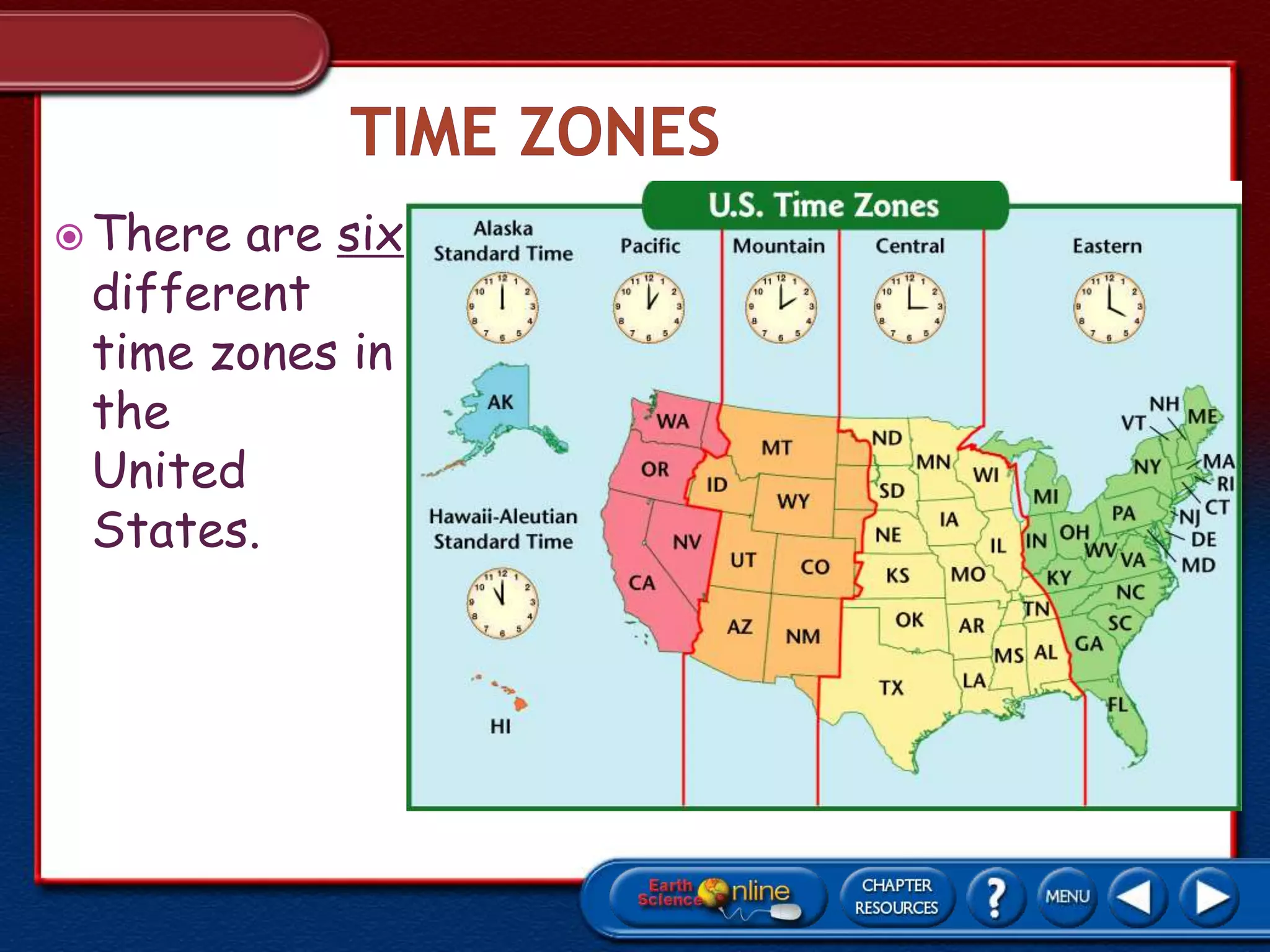
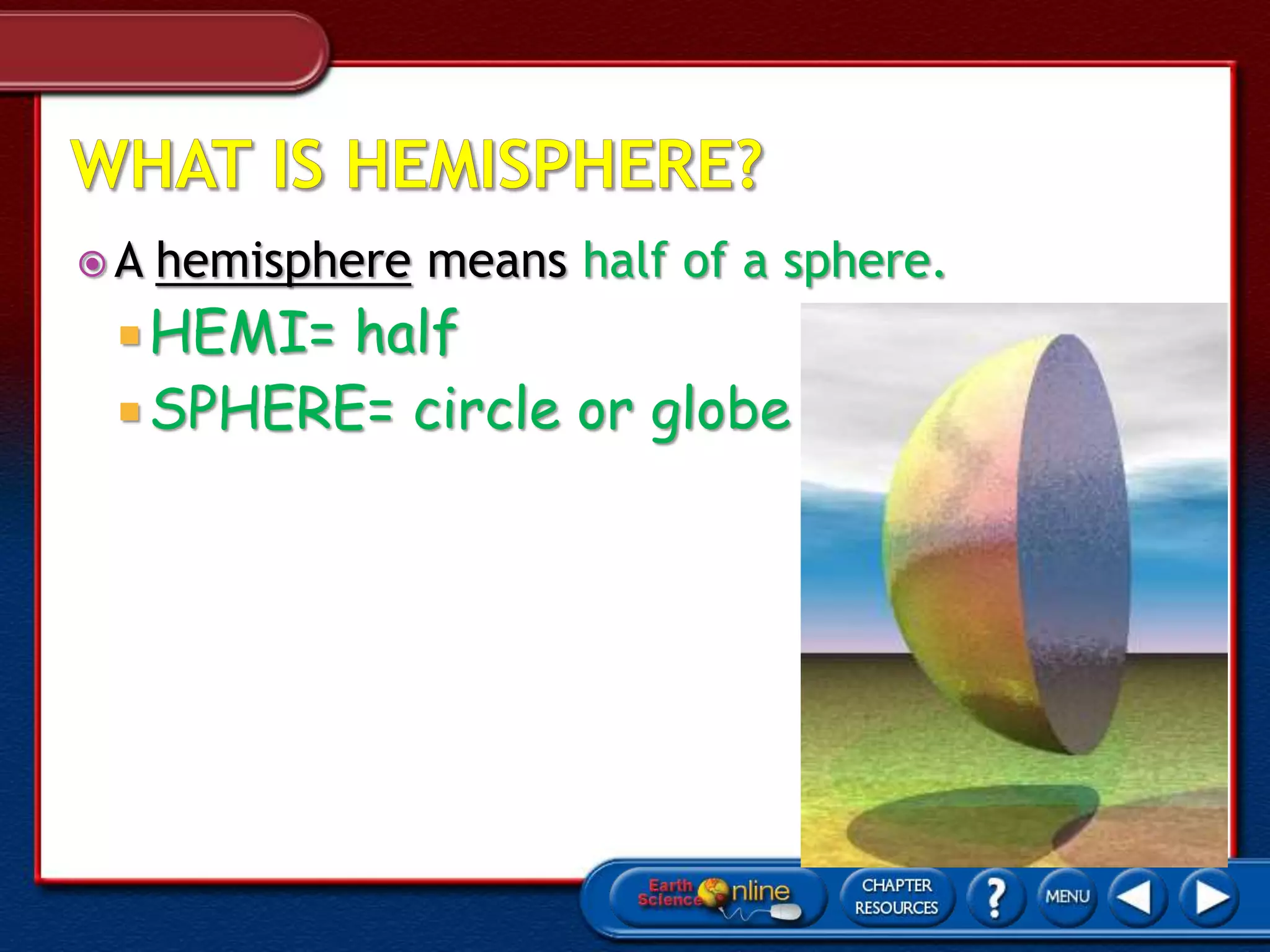
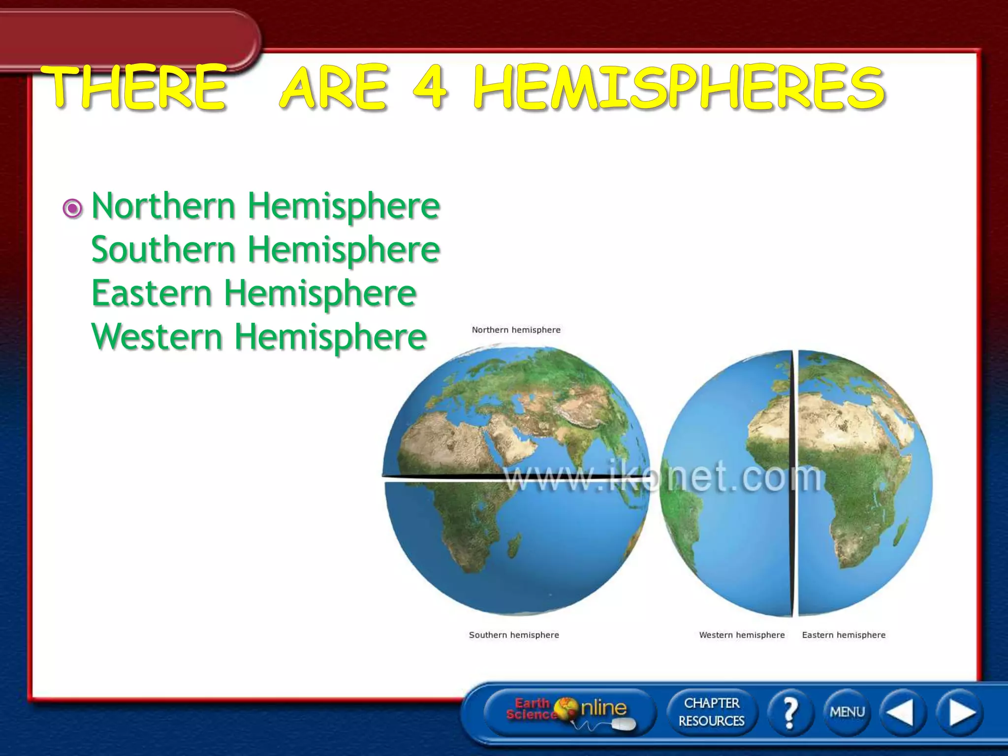
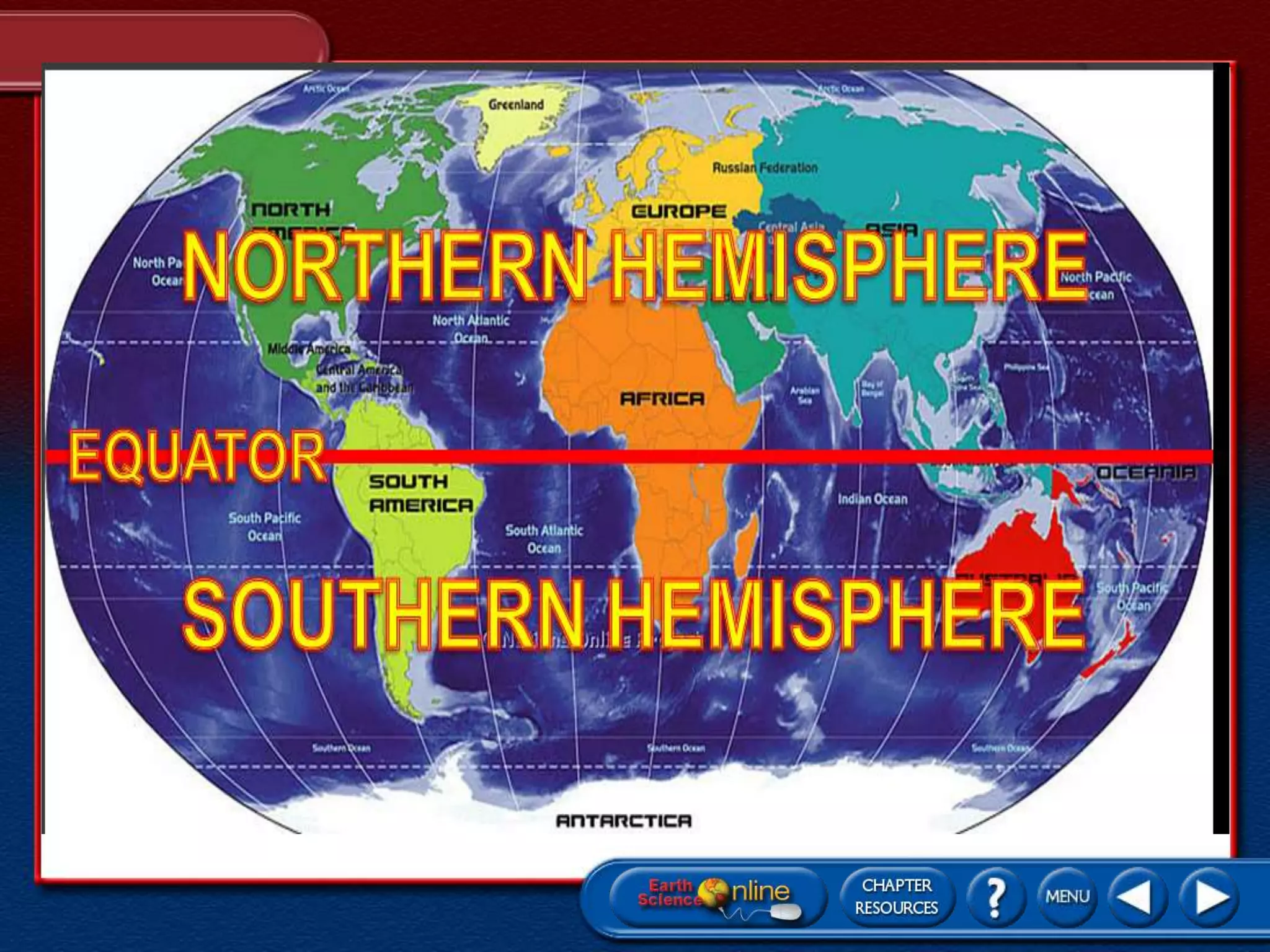
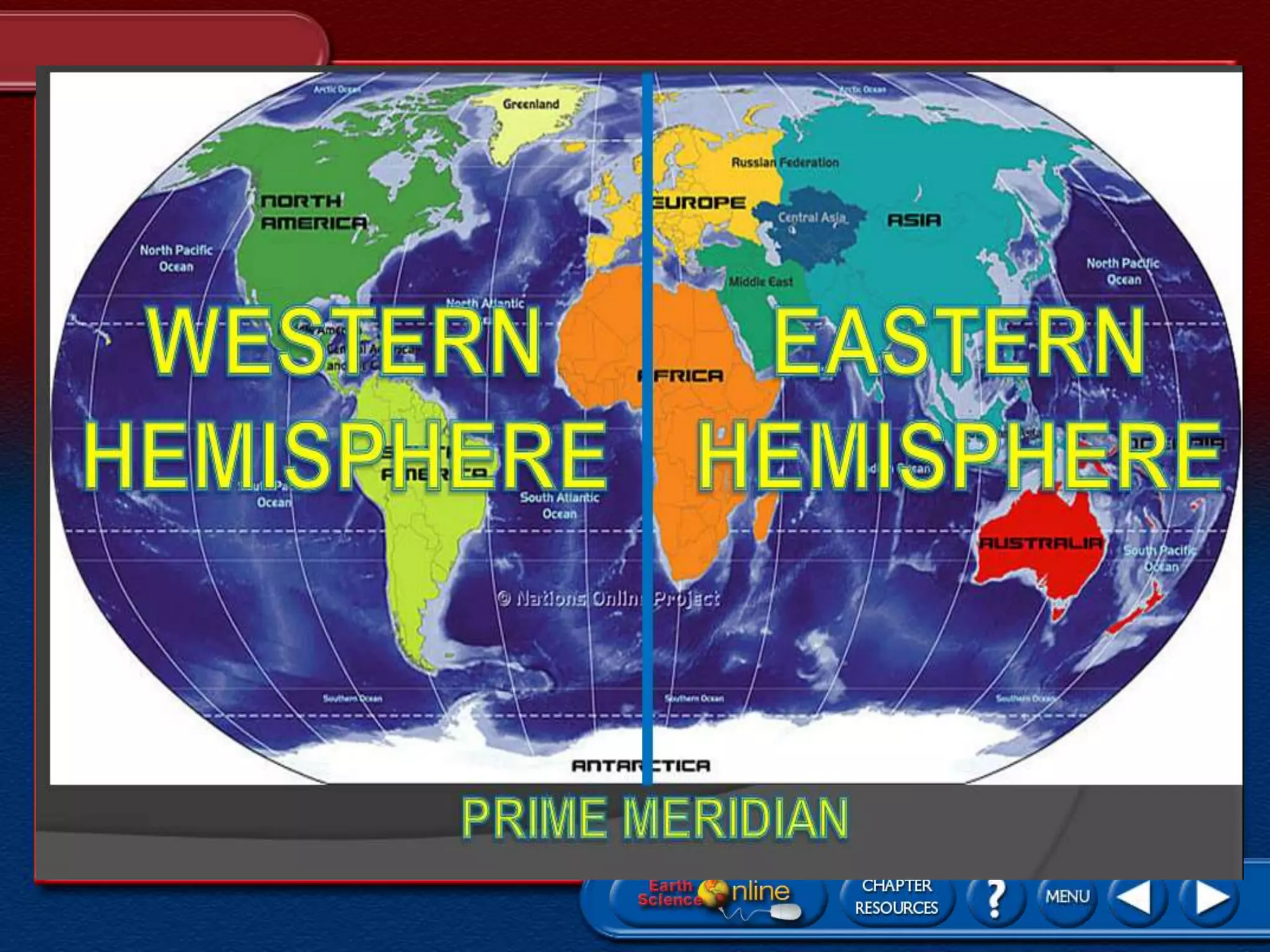
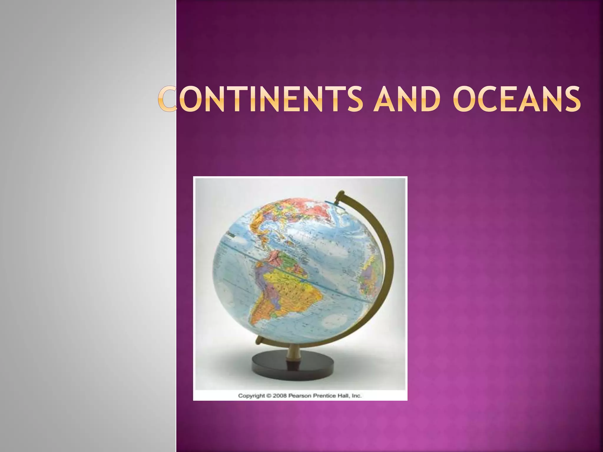
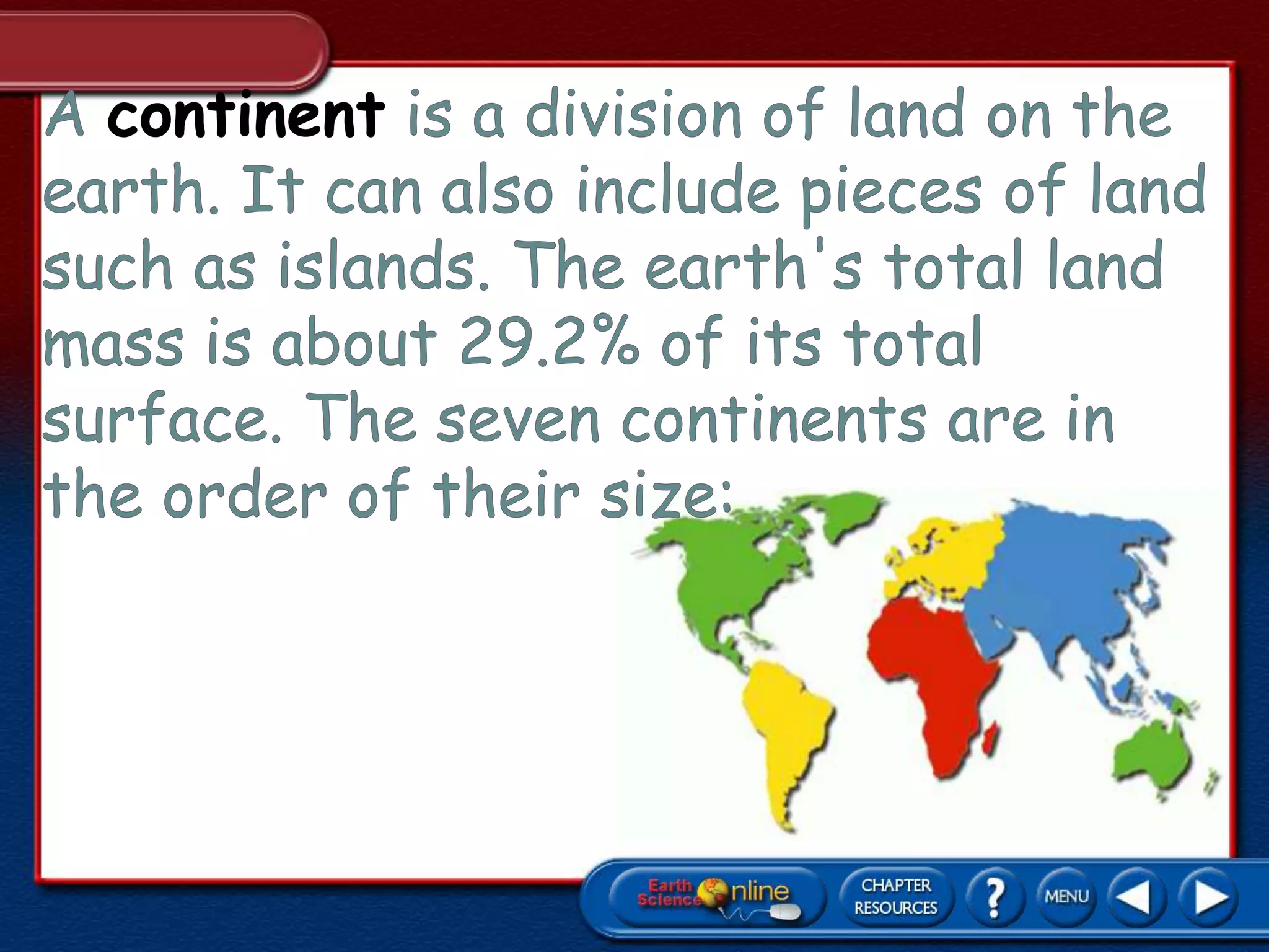
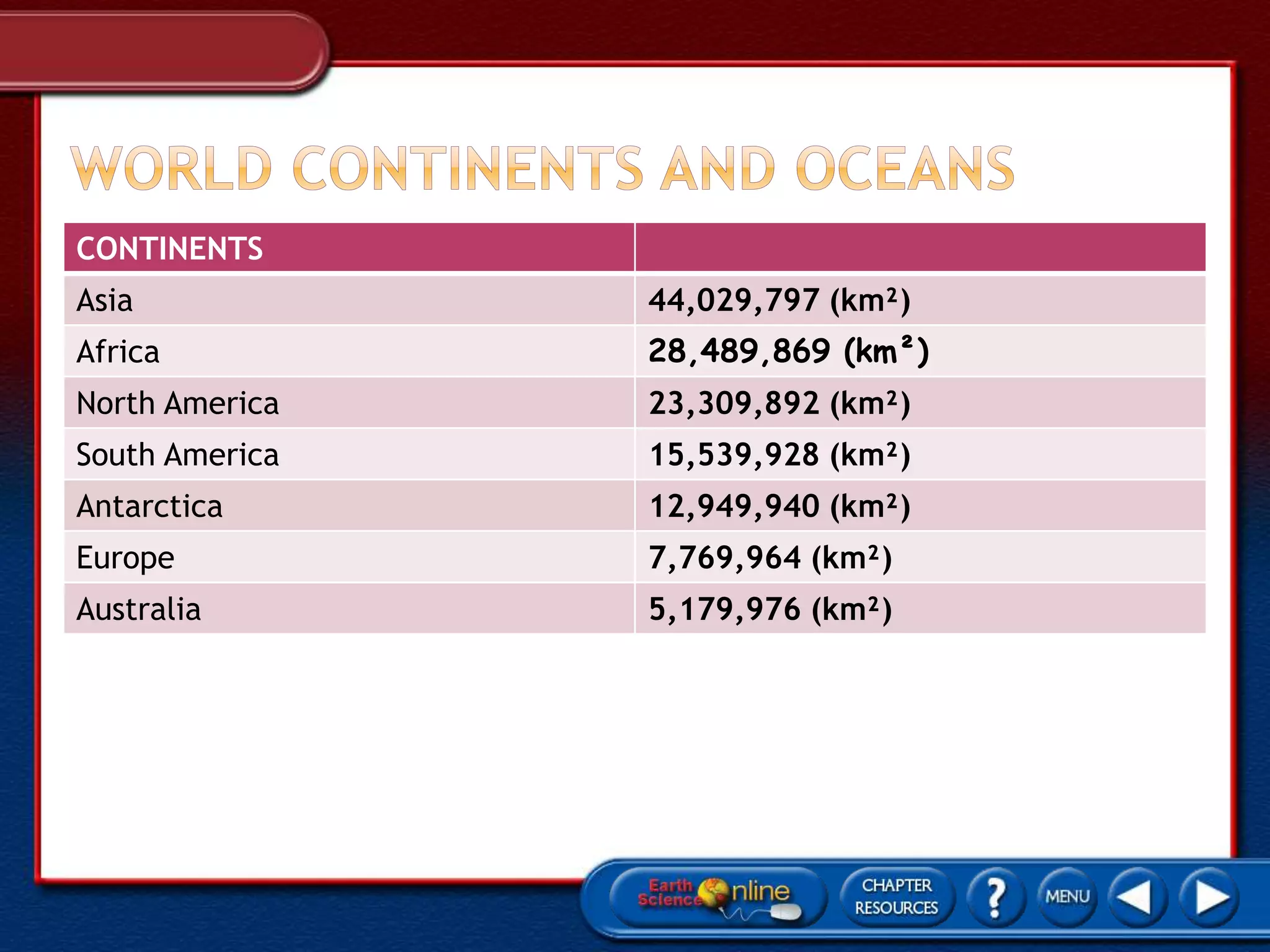
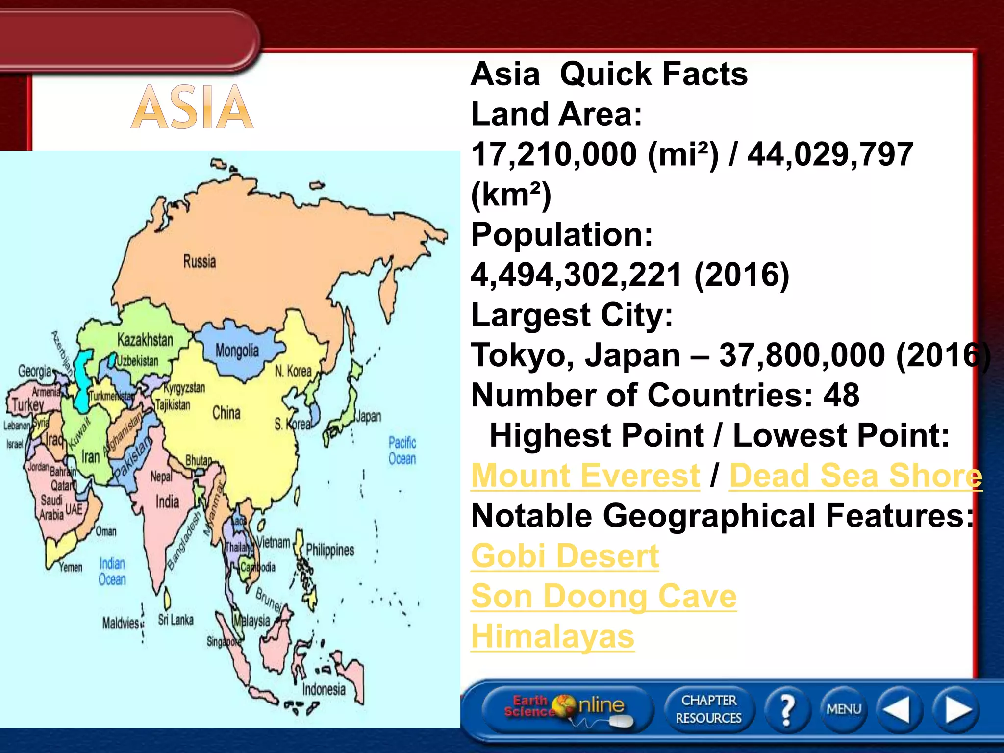
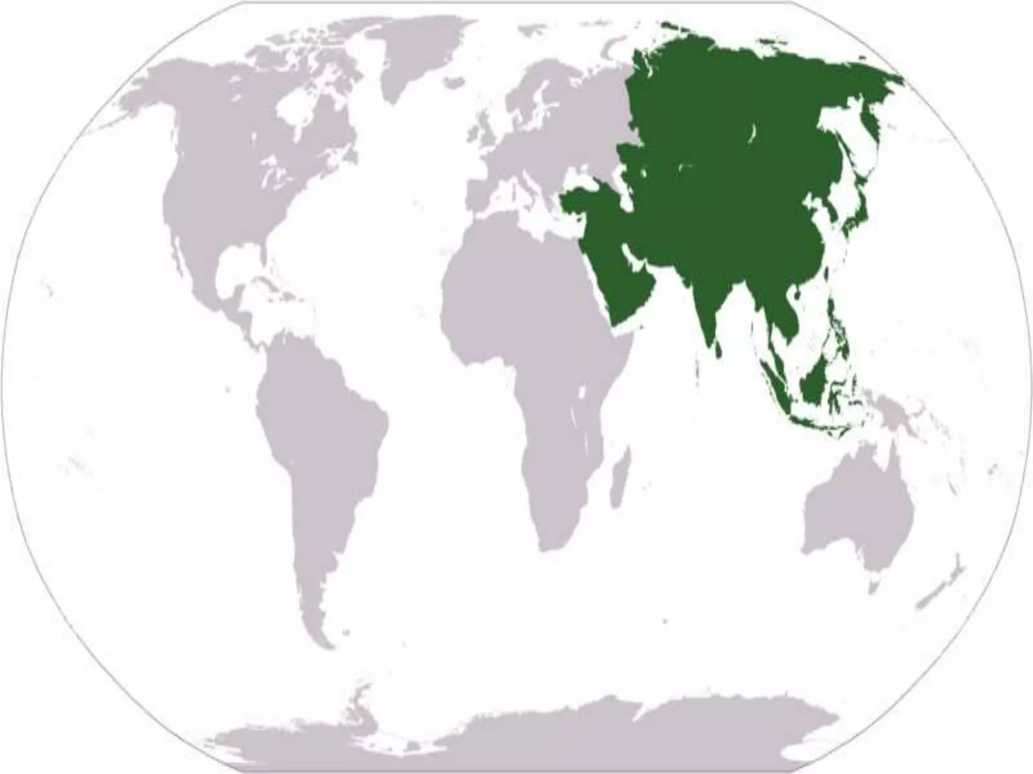

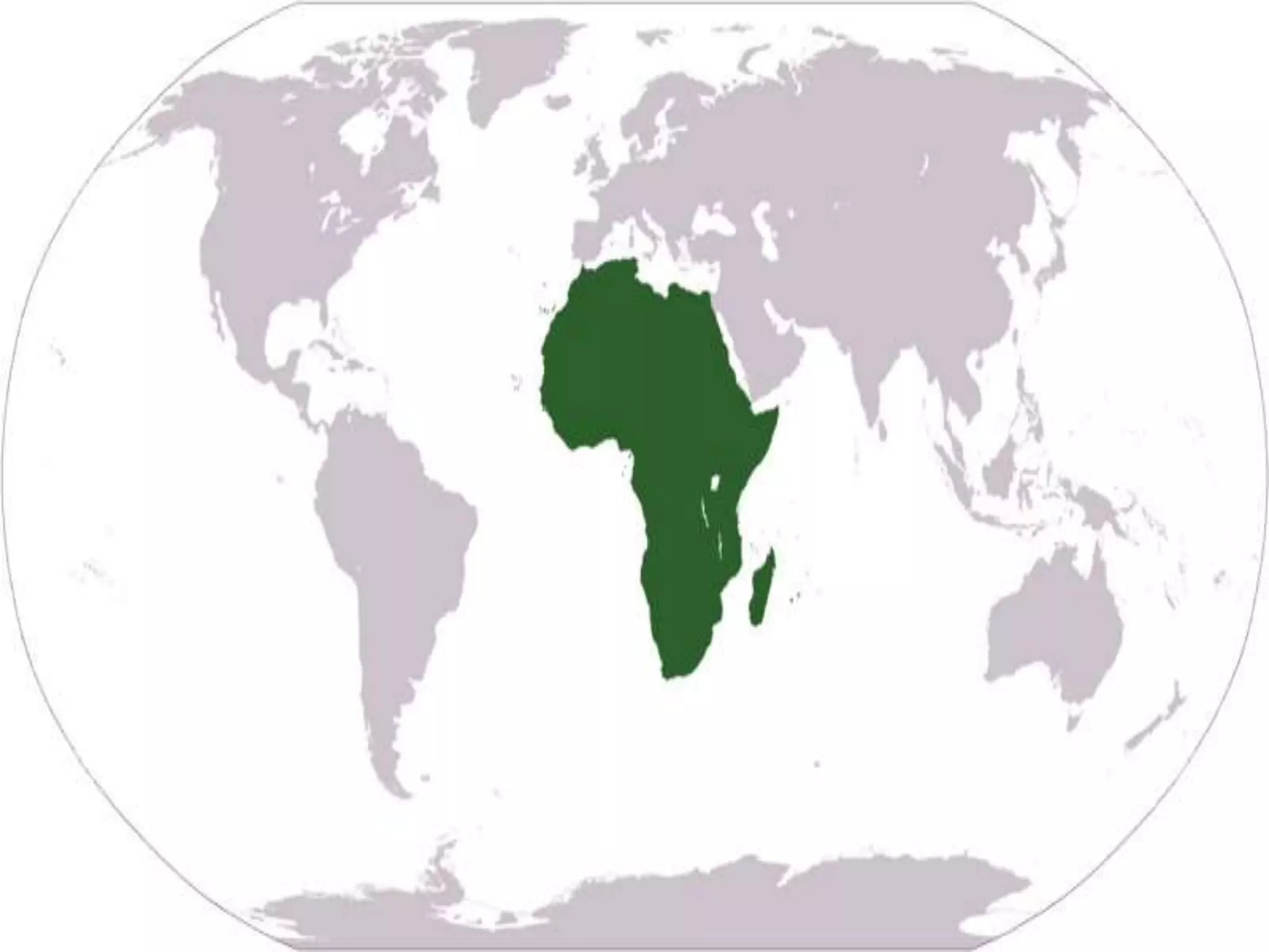
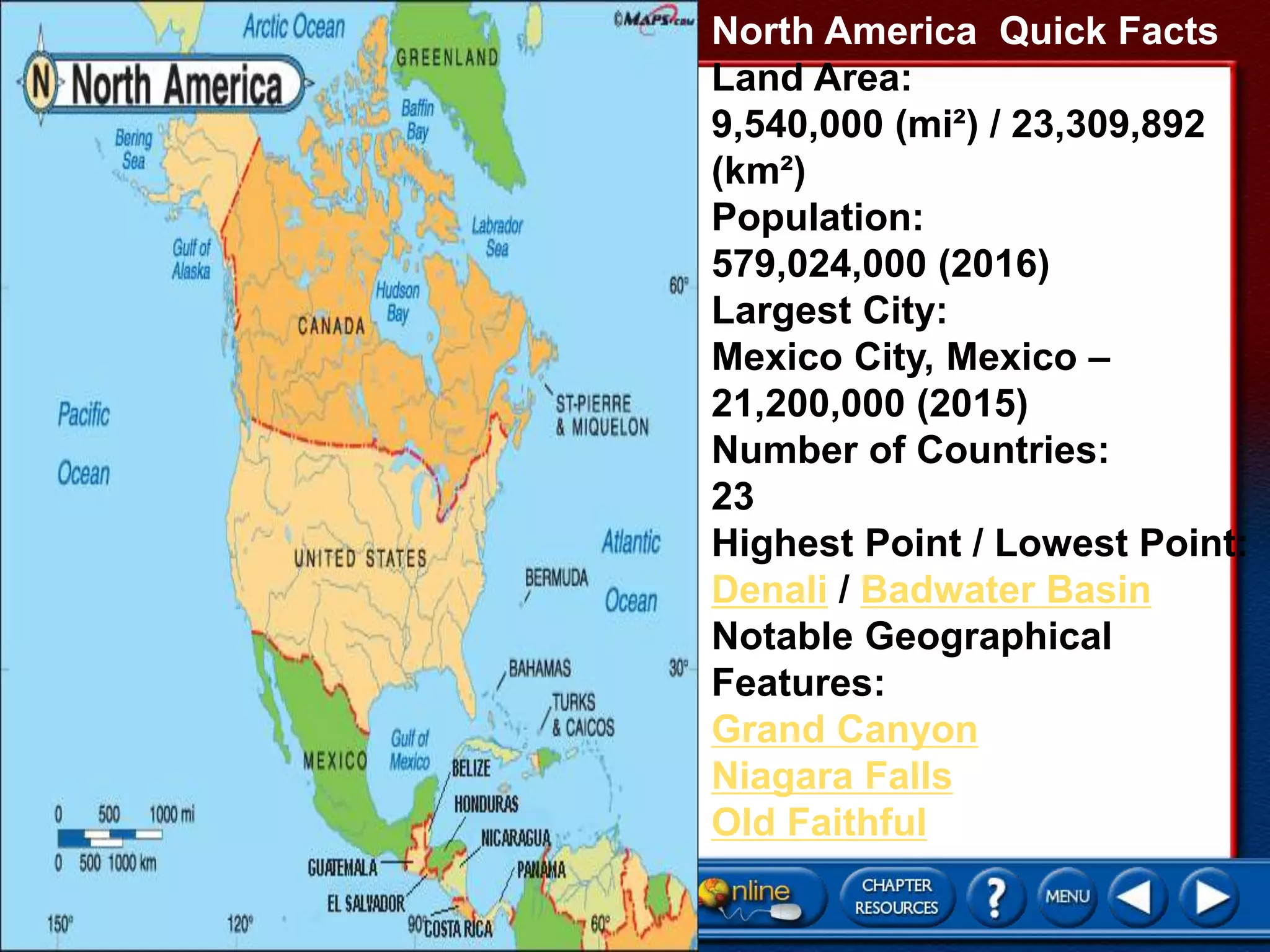
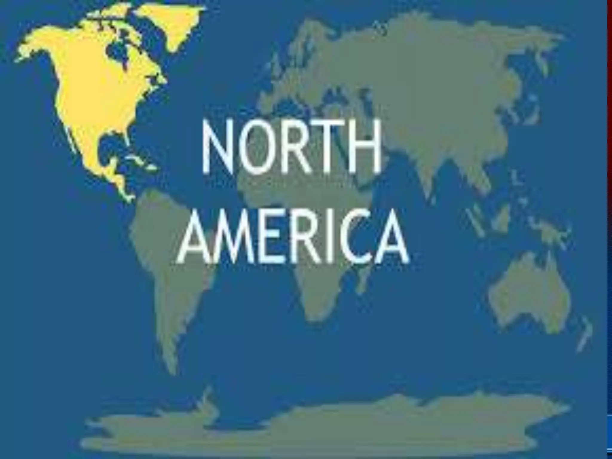
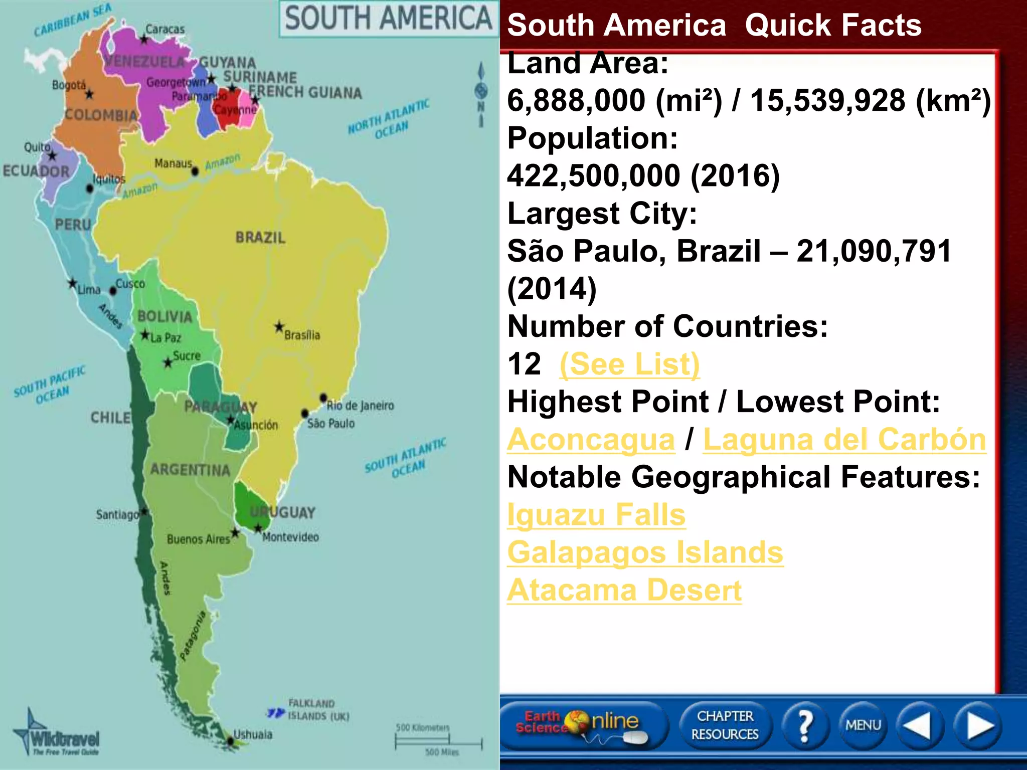
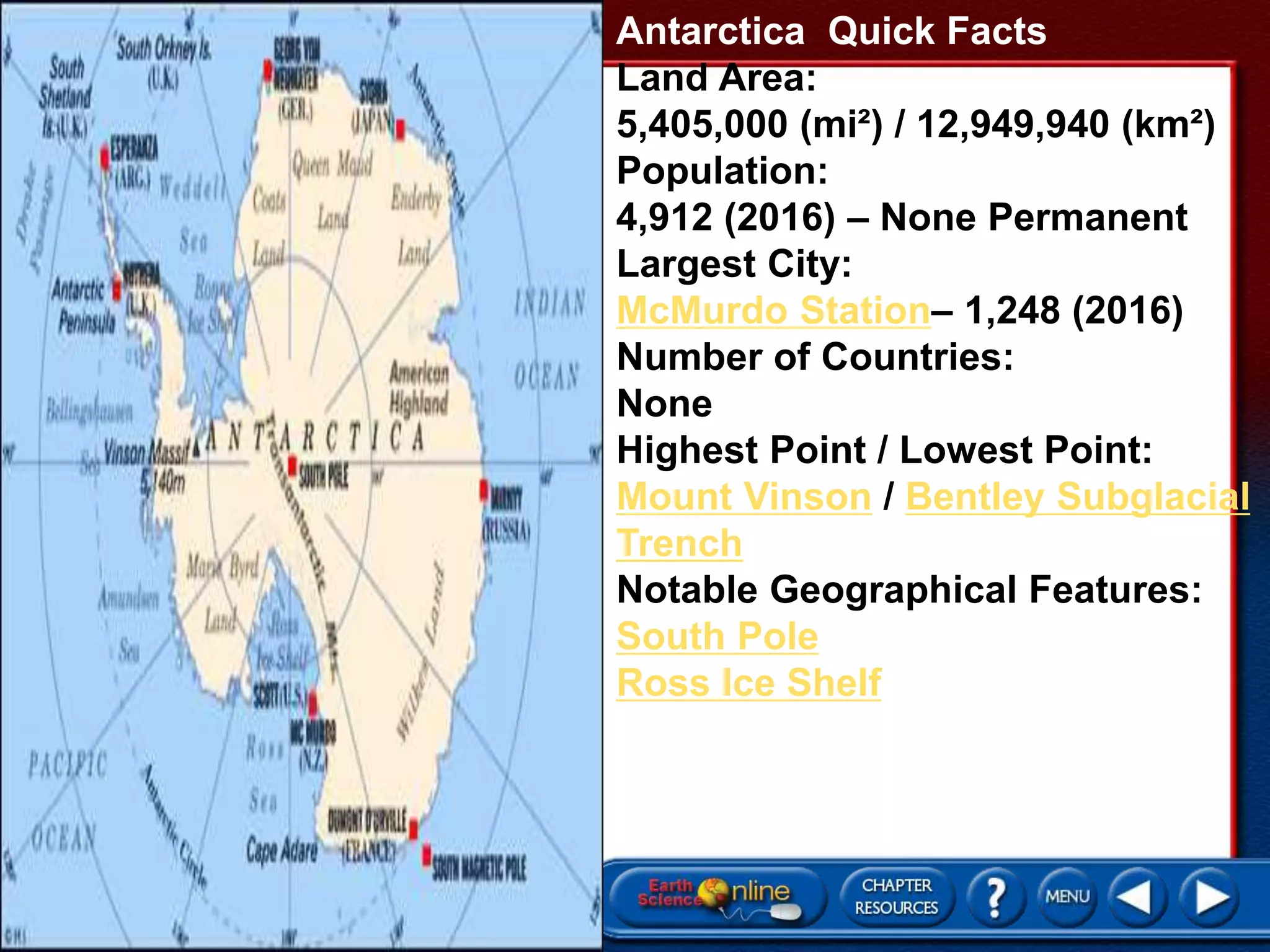
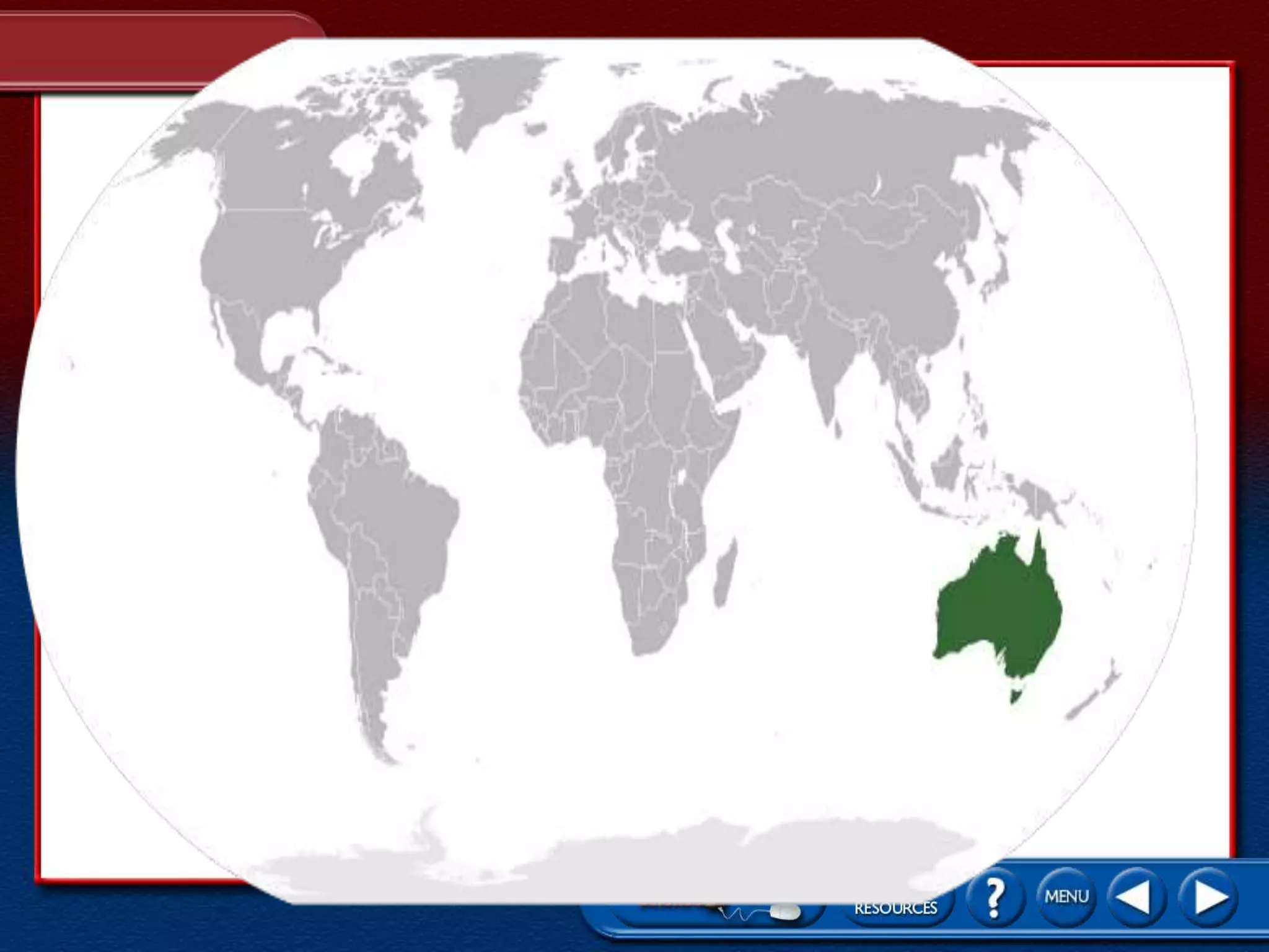
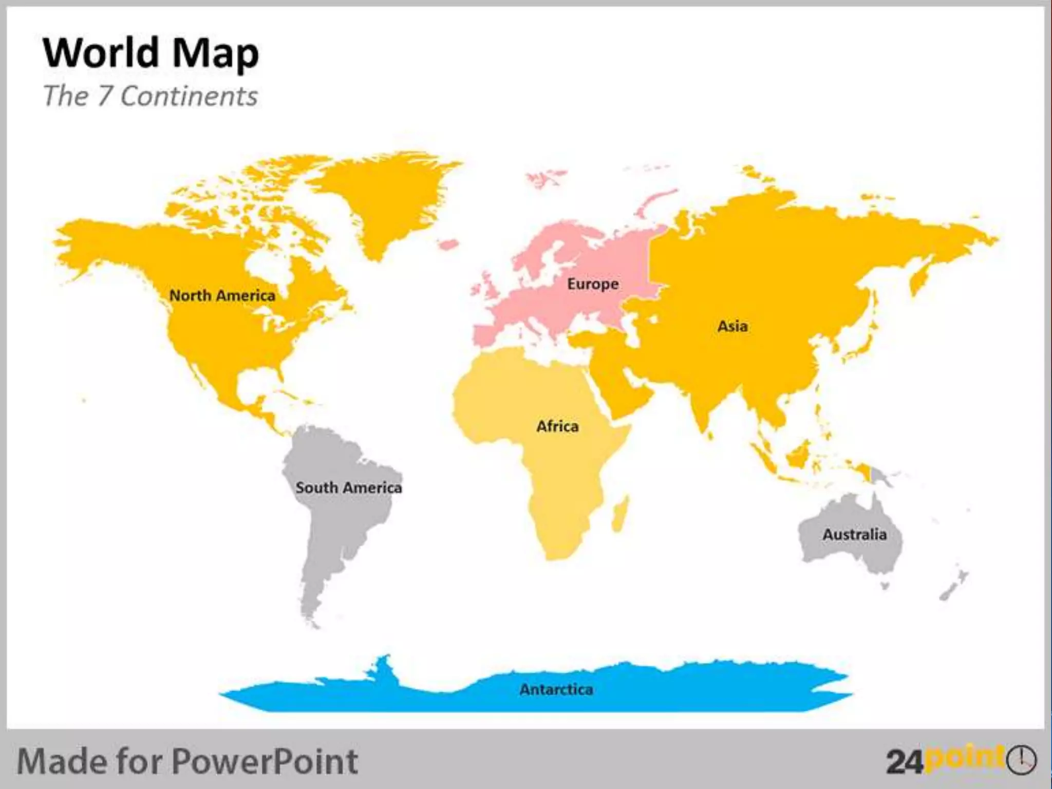
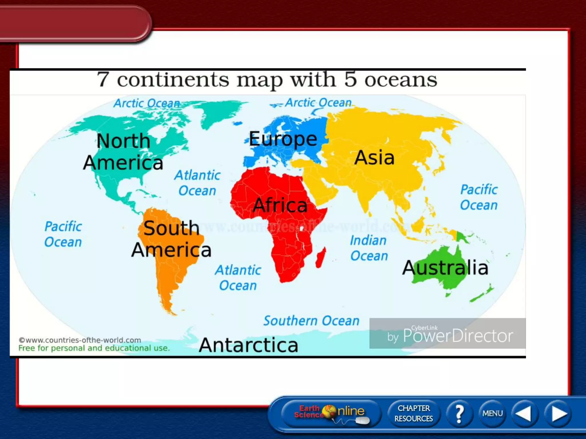
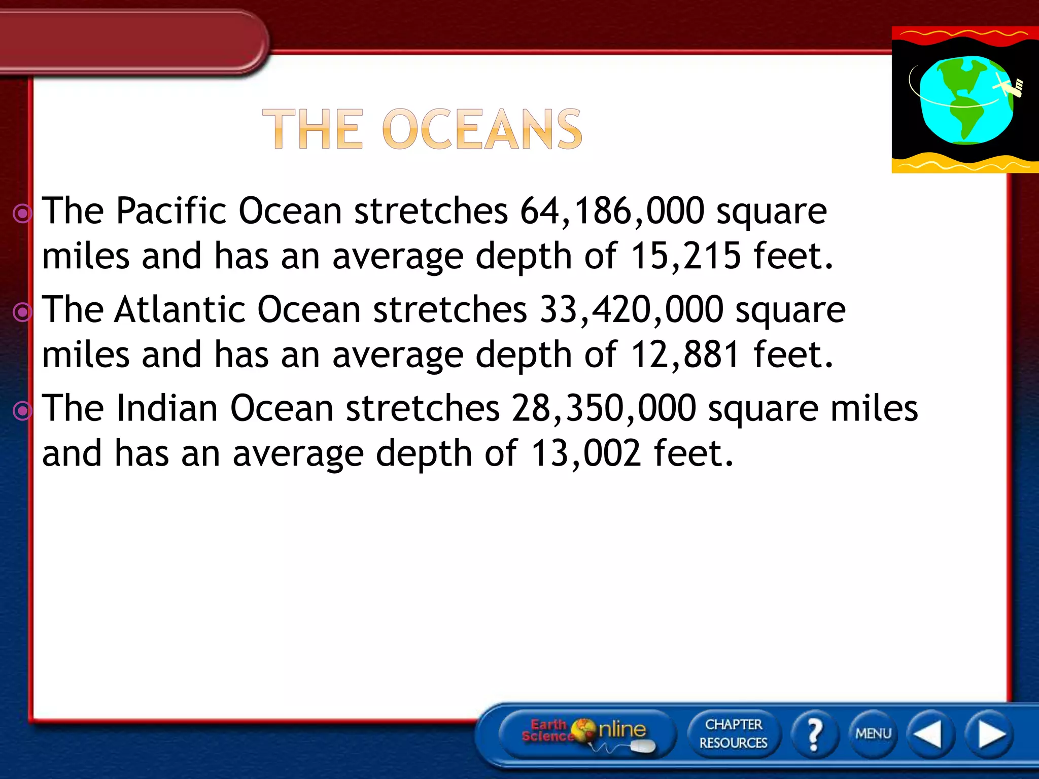
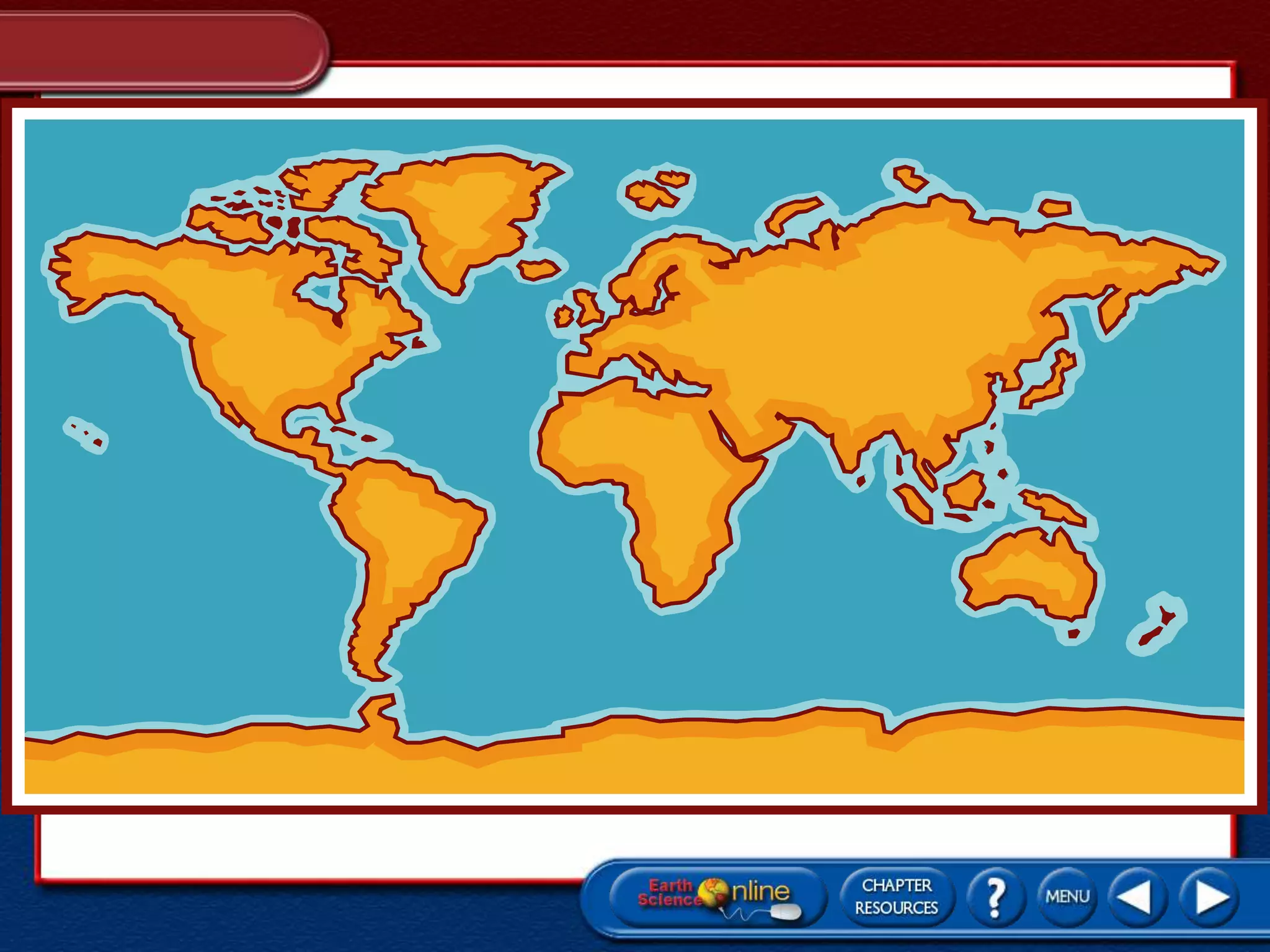

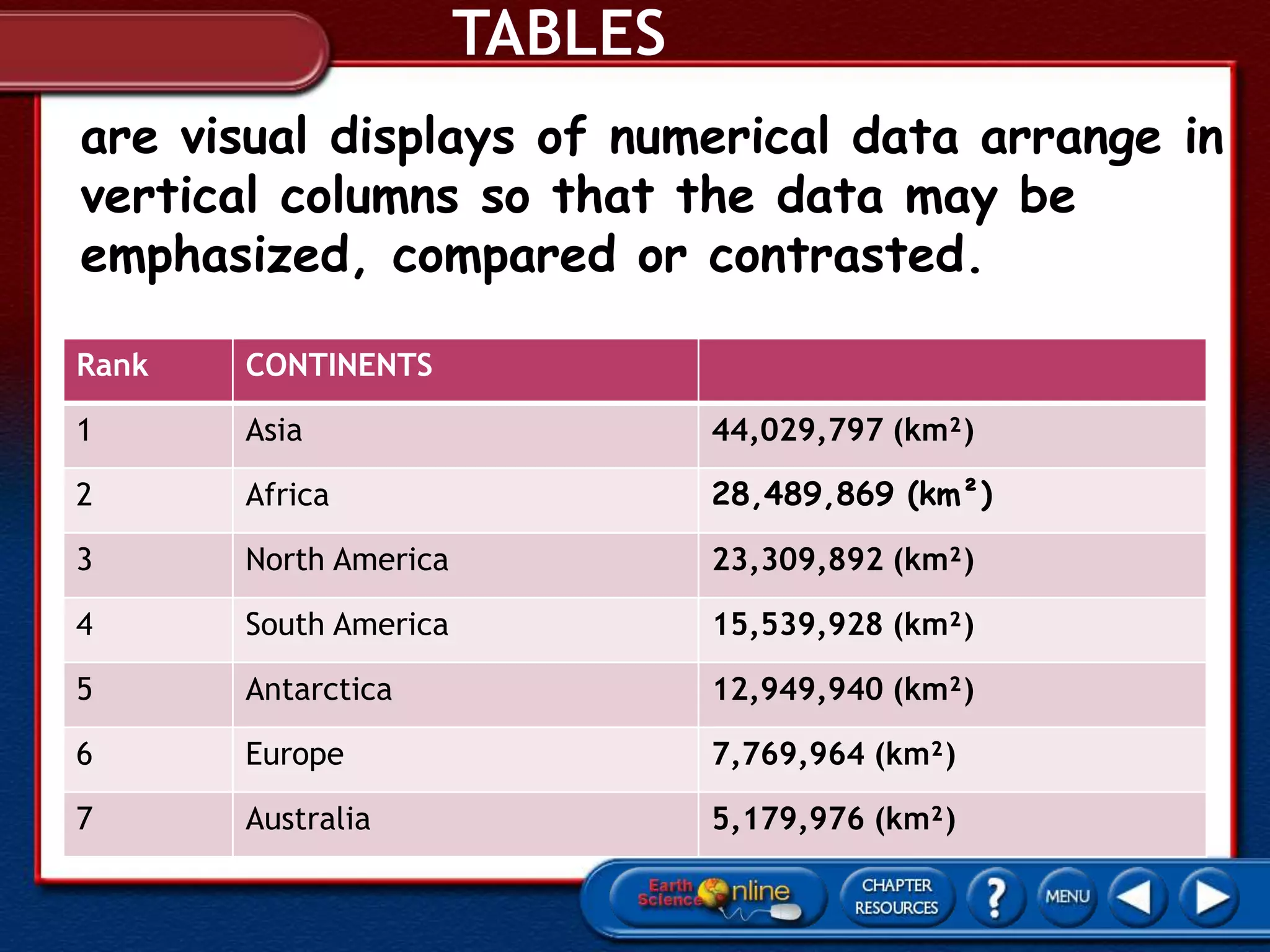
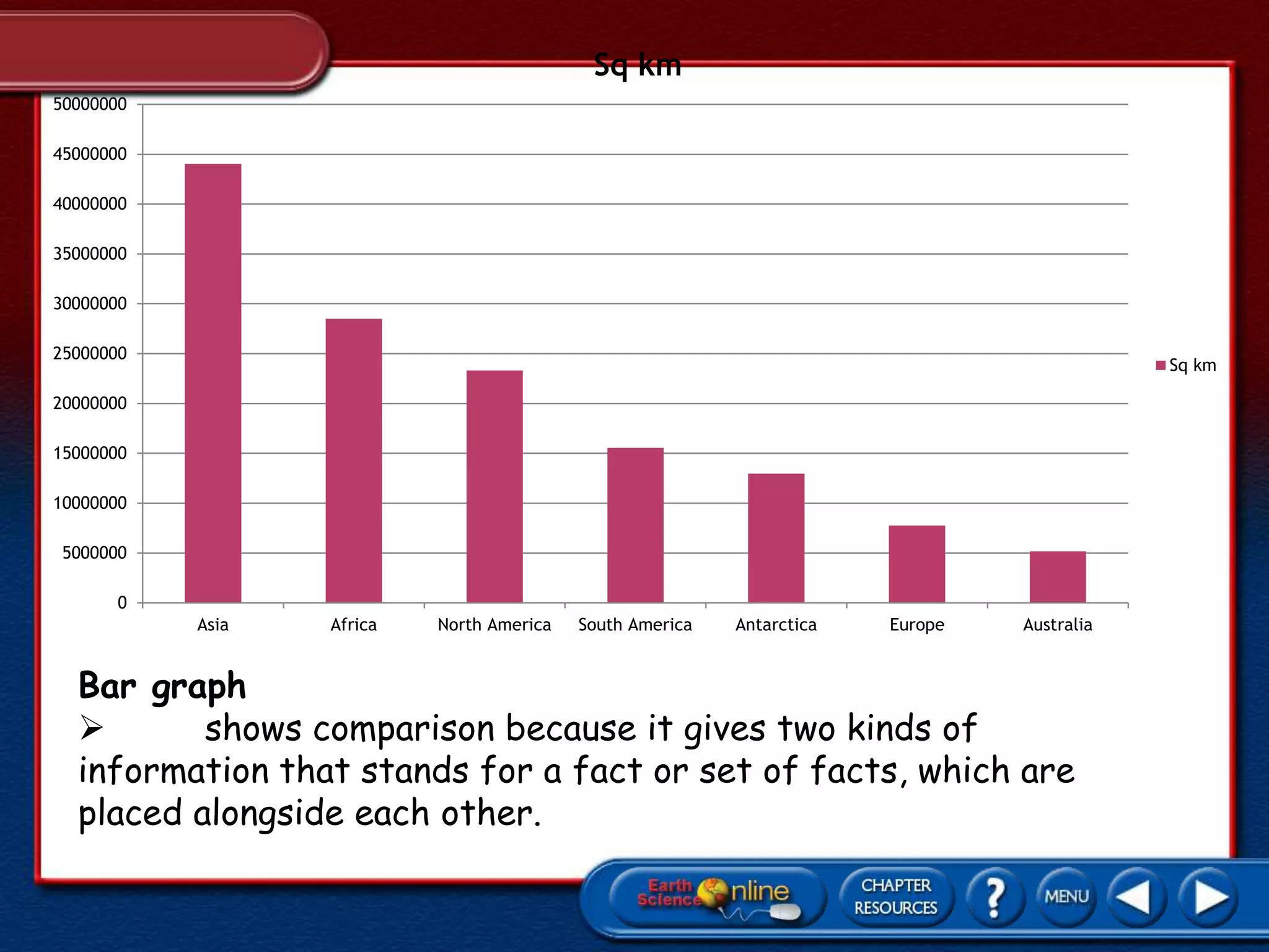
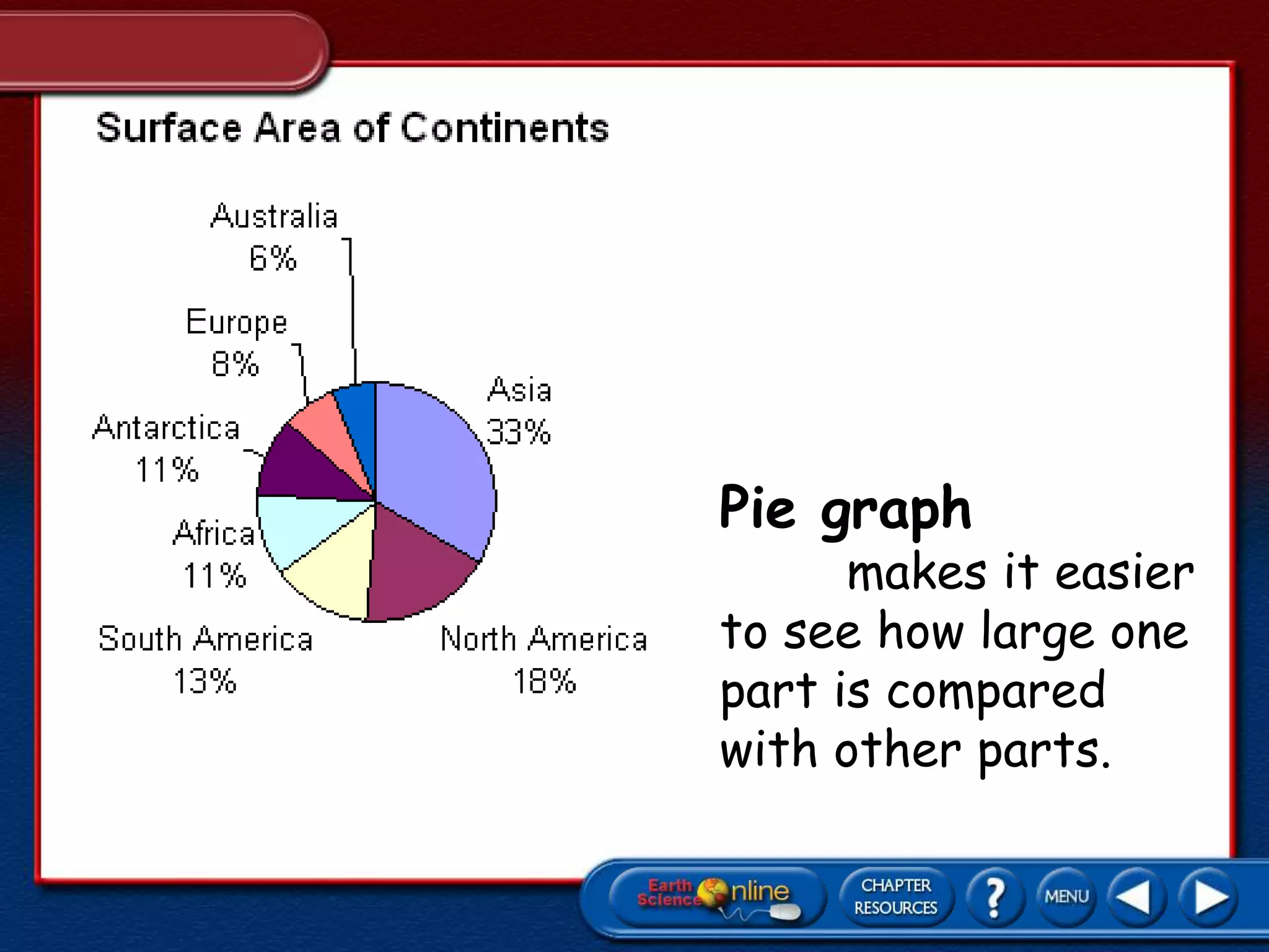
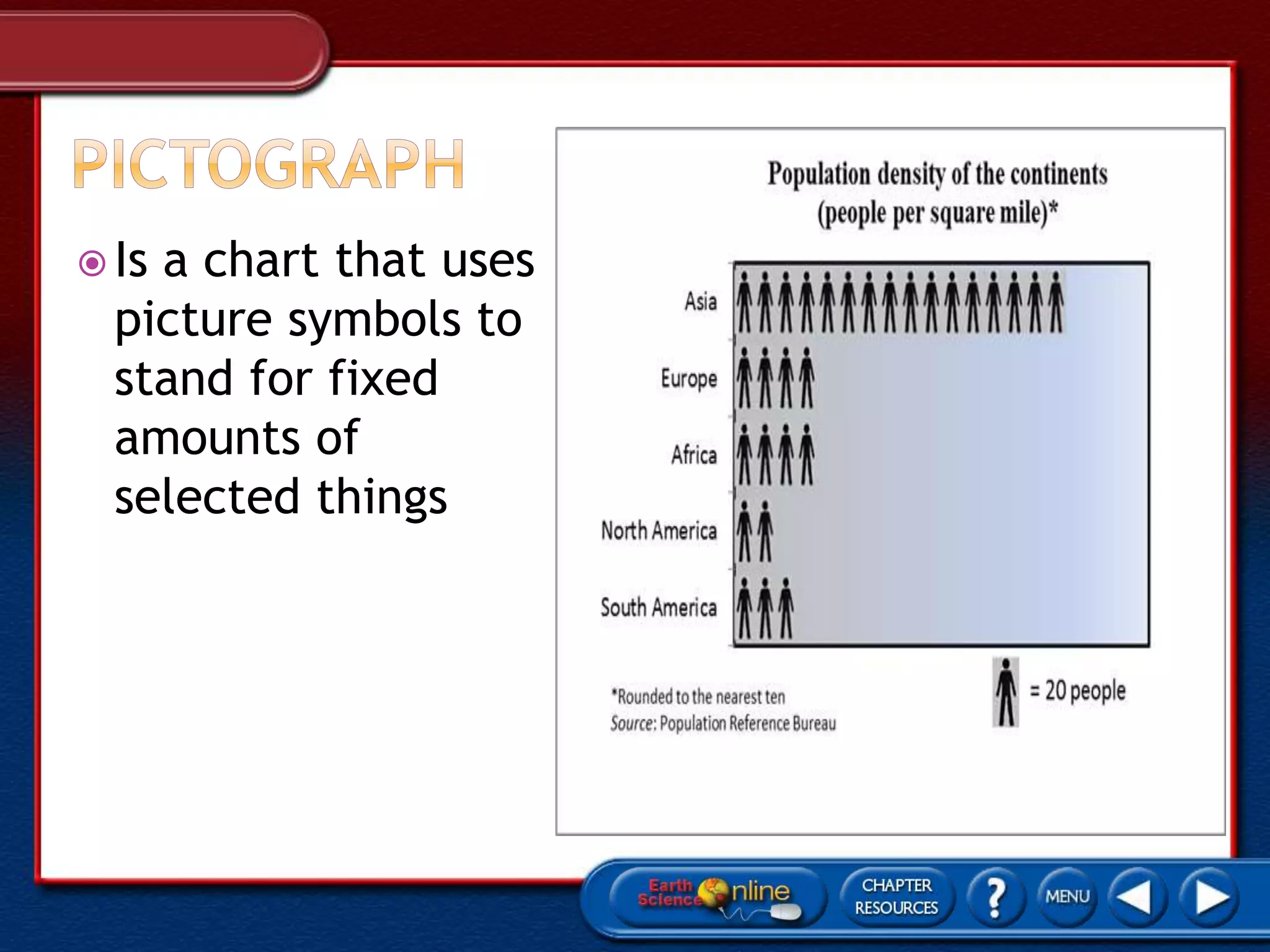
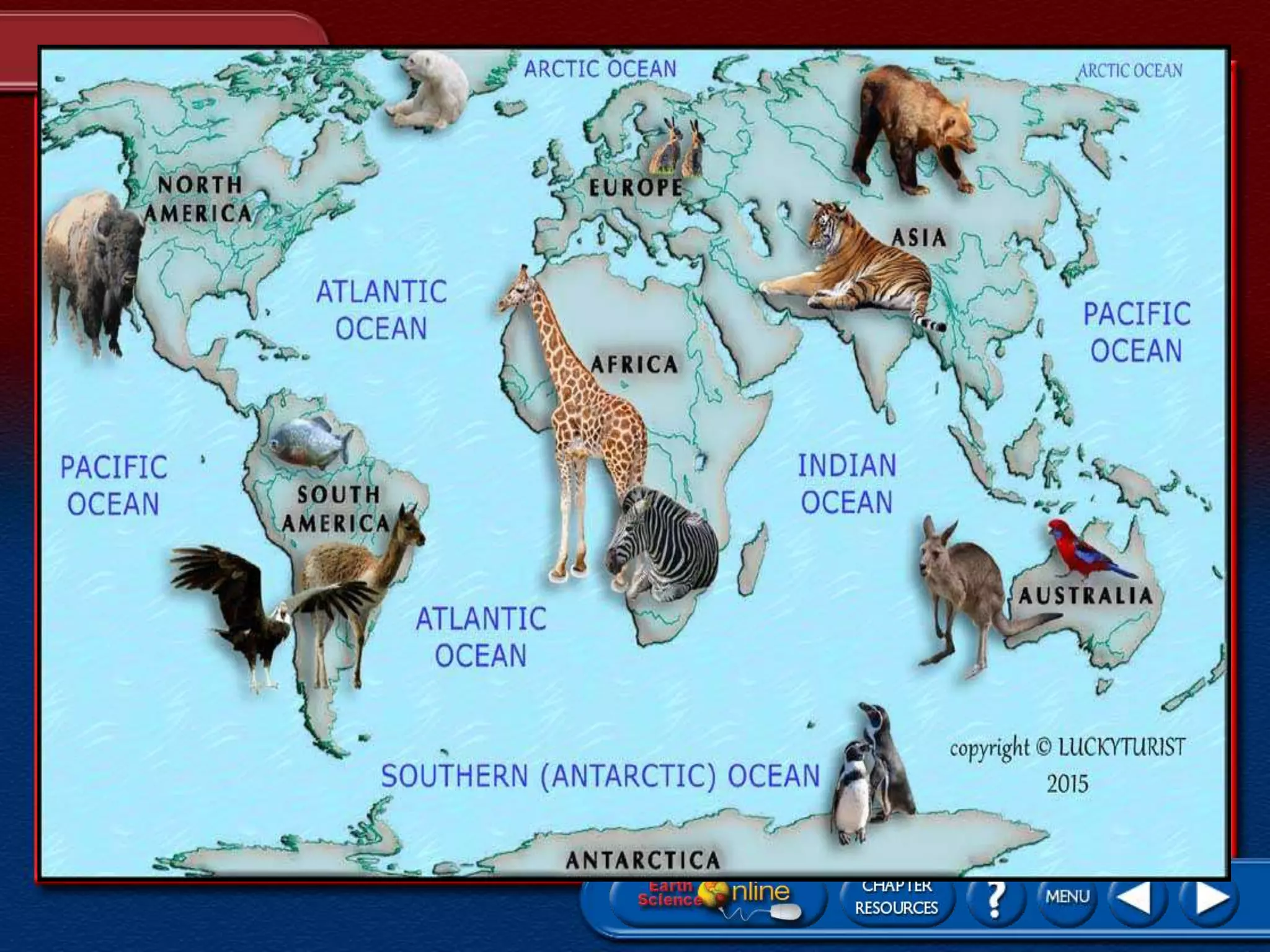


The document provides information about globes and maps. It begins by noting that the earliest known globe was constructed by Greek geographer Crates of Mallus. It then defines a globe as a model of the Earth that gives an accurate picture of its surface and shows locations at a smaller scale. The document also states that 29% of the Earth's surface is land consisting of seven continents, while 71% is water covering five oceans. It proceeds to discuss latitude and longitude lines and how they are used to locate positions on the globe.


