This document provides an introduction to the fields of geography and some key geographic concepts. It begins with definitions of geography and describes its subfields such as physical geography, human geography, cartography, and geographic information systems. It then discusses the history of geography, key thinkers and their contributions. Several core geographic concepts are explained like regions, spatial analysis, types of diffusion, the four main environmental systems, and human-environmental interactions. Methods of geography like mapmaking, projections, and remote sensing are outlined. The document emphasizes that geography considers both physical and human aspects to understand people, places, and environments.
AP Human Geography: Unit 1 - Introduction to GeographyDaniel Eiland
Here is the Advanced Placement Human Geography Unit1 Powerpoint I will be using to teach my classes this year. It includes the sections "Introduction to Geography", "Tools Geographers Use", and "The Five Themes of Geography". You can find the guided notes for this presentation here: http://www.slideshare.net/deilands/ap-human-geography-unit-1-13583828
To understand geography, it is a prerequisite to know its creators, their philosophy, aim and methods. These are really interesting and enrich our vision.
An introduction to the study of World Geography.
a) meaning of geography
b) essential elements of geography
c) branches of geography
d) themes of geography
e) graphic representation of the Earth (maps)
f) the global grid system
g) types of maps
h) map essentials
i) earth as a member of the solar system
j) the Planet Earth
k) evaluation (Quiz)
CHAPTER 1 SEMESTER V PREVENTIVE-PEDIATRICS.pdfSachin Sharma
This content provides an overview of preventive pediatrics. It defines preventive pediatrics as preventing disease and promoting children's physical, mental, and social well-being to achieve positive health. It discusses antenatal, postnatal, and social preventive pediatrics. It also covers various child health programs like immunization, breastfeeding, ICDS, and the roles of organizations like WHO, UNICEF, and nurses in preventive pediatrics.
Defecation
Normal defecation begins with movement in the left colon, moving stool toward the anus. When stool reaches the rectum, the distention causes relaxation of the internal sphincter and an awareness of the need to defecate. At the time of defecation, the external sphincter relaxes, and abdominal muscles contract, increasing intrarectal pressure and forcing the stool out
The Valsalva maneuver exerts pressure to expel faeces through a voluntary contraction of the abdominal muscles while maintaining forced expiration against a closed airway. Patients with cardiovascular disease, glaucoma, increased intracranial pressure, or a new surgical wound are at greater risk for cardiac dysrhythmias and elevated blood pressure with the Valsalva maneuver and need to avoid straining to pass the stool.
Normal defecation is painless, resulting in passage of soft, formed stool
CONSTIPATION
Constipation is a symptom, not a disease. Improper diet, reduced fluid intake, lack of exercise, and certain medications can cause constipation. For example, patients receiving opiates for pain after surgery often require a stool softener or laxative to prevent constipation. The signs of constipation include infrequent bowel movements (less than every 3 days), difficulty passing stools, excessive straining, inability to defecate at will, and hard feaces
IMPACTION
Fecal impaction results from unrelieved constipation. It is a collection of hardened feces wedged in the rectum that a person cannot expel. In cases of severe impaction the mass extends up into the sigmoid colon.
DIARRHEA
Diarrhea is an increase in the number of stools and the passage of liquid, unformed feces. It is associated with disorders affecting digestion, absorption, and secretion in the GI tract. Intestinal contents pass through the small and large intestine too quickly to allow for the usual absorption of fluid and nutrients. Irritation within the colon results in increased mucus secretion. As a result, feces become watery, and the patient is unable to control the urge to defecate. Normally an anal bag is safe and effective in long-term treatment of patients with fecal incontinence at home, in hospice, or in the hospital. Fecal incontinence is expensive and a potentially dangerous condition in terms of contamination and risk of skin ulceration
HEMORRHOIDS
Hemorrhoids are dilated, engorged veins in the lining of the rectum. They are either external or internal.
FLATULENCE
As gas accumulates in the lumen of the intestines, the bowel wall stretches and distends (flatulence). It is a common cause of abdominal fullness, pain, and cramping. Normally intestinal gas escapes through the mouth (belching) or the anus (passing of flatus)
FECAL INCONTINENCE
Fecal incontinence is the inability to control passage of feces and gas from the anus. Incontinence harms a patient’s body image
PREPARATION AND GIVING OF LAXATIVESACCORDING TO POTTER AND PERRY,
An enema is the instillation of a solution into the rectum and sig
Leading the Way in Nephrology: Dr. David Greene's Work with Stem Cells for Ki...Dr. David Greene Arizona
As we watch Dr. Greene's continued efforts and research in Arizona, it's clear that stem cell therapy holds a promising key to unlocking new doors in the treatment of kidney disease. With each study and trial, we step closer to a world where kidney disease is no longer a life sentence but a treatable condition, thanks to pioneers like Dr. David Greene.
Telehealth Psychology Building Trust with Clients.pptxThe Harvest Clinic
Telehealth psychology is a digital approach that offers psychological services and mental health care to clients remotely, using technologies like video conferencing, phone calls, text messaging, and mobile apps for communication.
Antibiotic Stewardship by Anushri Srivastava.pptxAnushriSrivastav
Stewardship is the act of taking good care of something.
Antimicrobial stewardship is a coordinated program that promotes the appropriate use of antimicrobials (including antibiotics), improves patient outcomes, reduces microbial resistance, and decreases the spread of infections caused by multidrug-resistant organisms.
WHO launched the Global Antimicrobial Resistance and Use Surveillance System (GLASS) in 2015 to fill knowledge gaps and inform strategies at all levels.
ACCORDING TO apic.org,
Antimicrobial stewardship is a coordinated program that promotes the appropriate use of antimicrobials (including antibiotics), improves patient outcomes, reduces microbial resistance, and decreases the spread of infections caused by multidrug-resistant organisms.
ACCORDING TO pewtrusts.org,
Antibiotic stewardship refers to efforts in doctors’ offices, hospitals, long term care facilities, and other health care settings to ensure that antibiotics are used only when necessary and appropriate
According to WHO,
Antimicrobial stewardship is a systematic approach to educate and support health care professionals to follow evidence-based guidelines for prescribing and administering antimicrobials
In 1996, John McGowan and Dale Gerding first applied the term antimicrobial stewardship, where they suggested a causal association between antimicrobial agent use and resistance. They also focused on the urgency of large-scale controlled trials of antimicrobial-use regulation employing sophisticated epidemiologic methods, molecular typing, and precise resistance mechanism analysis.
Antimicrobial Stewardship(AMS) refers to the optimal selection, dosing, and duration of antimicrobial treatment resulting in the best clinical outcome with minimal side effects to the patients and minimal impact on subsequent resistance.
According to the 2019 report, in the US, more than 2.8 million antibiotic-resistant infections occur each year, and more than 35000 people die. In addition to this, it also mentioned that 223,900 cases of Clostridoides difficile occurred in 2017, of which 12800 people died. The report did not include viruses or parasites
VISION
Being proactive
Supporting optimal animal and human health
Exploring ways to reduce overall use of antimicrobials
Using the drugs that prevent and treat disease by killing microscopic organisms in a responsible way
GOAL
to prevent the generation and spread of antimicrobial resistance (AMR). Doing so will preserve the effectiveness of these drugs in animals and humans for years to come.
being to preserve human and animal health and the effectiveness of antimicrobial medications.
to implement a multidisciplinary approach in assembling a stewardship team to include an infectious disease physician, a clinical pharmacist with infectious diseases training, infection preventionist, and a close collaboration with the staff in the clinical microbiology laboratory
to prevent antimicrobial overuse, misuse and abuse.
to minimize the developme
ICH Guidelines for Pharmacovigilance.pdfNEHA GUPTA
The "ICH Guidelines for Pharmacovigilance" PDF provides a comprehensive overview of the International Council for Harmonisation of Technical Requirements for Pharmaceuticals for Human Use (ICH) guidelines related to pharmacovigilance. These guidelines aim to ensure that drugs are safe and effective for patients by monitoring and assessing adverse effects, ensuring proper reporting systems, and improving risk management practices. The document is essential for professionals in the pharmaceutical industry, regulatory authorities, and healthcare providers, offering detailed procedures and standards for pharmacovigilance activities to enhance drug safety and protect public health.
Explore our infographic on 'Essential Metrics for Palliative Care Management' which highlights key performance indicators crucial for enhancing the quality and efficiency of palliative care services.
This visual guide breaks down important metrics across four categories: Patient-Centered Metrics, Care Efficiency Metrics, Quality of Life Metrics, and Staff Metrics. Each section is designed to help healthcare professionals monitor and improve care delivery for patients facing serious illnesses. Understand how to implement these metrics in your palliative care practices for better outcomes and higher satisfaction levels.
Medical Technology Tackles New Health Care Demand - Research Report - March 2...pchutichetpong
M Capital Group (“MCG”) predicts that with, against, despite, and even without the global pandemic, the medical technology (MedTech) industry shows signs of continuous healthy growth, driven by smaller, faster, and cheaper devices, growing demand for home-based applications, technological innovation, strategic acquisitions, investments, and SPAC listings. MCG predicts that this should reflects itself in annual growth of over 6%, well beyond 2028.
According to Chris Mouchabhani, Managing Partner at M Capital Group, “Despite all economic scenarios that one may consider, beyond overall economic shocks, medical technology should remain one of the most promising and robust sectors over the short to medium term and well beyond 2028.”
There is a movement towards home-based care for the elderly, next generation scanning and MRI devices, wearable technology, artificial intelligence incorporation, and online connectivity. Experts also see a focus on predictive, preventive, personalized, participatory, and precision medicine, with rising levels of integration of home care and technological innovation.
The average cost of treatment has been rising across the board, creating additional financial burdens to governments, healthcare providers and insurance companies. According to MCG, cost-per-inpatient-stay in the United States alone rose on average annually by over 13% between 2014 to 2021, leading MedTech to focus research efforts on optimized medical equipment at lower price points, whilst emphasizing portability and ease of use. Namely, 46% of the 1,008 medical technology companies in the 2021 MedTech Innovator (“MTI”) database are focusing on prevention, wellness, detection, or diagnosis, signaling a clear push for preventive care to also tackle costs.
In addition, there has also been a lasting impact on consumer and medical demand for home care, supported by the pandemic. Lockdowns, closure of care facilities, and healthcare systems subjected to capacity pressure, accelerated demand away from traditional inpatient care. Now, outpatient care solutions are driving industry production, with nearly 70% of recent diagnostics start-up companies producing products in areas such as ambulatory clinics, at-home care, and self-administered diagnostics.
R3 Stem Cells and Kidney Repair A New Horizon in Nephrology.pptxR3 Stem Cell
R3 Stem Cells and Kidney Repair: A New Horizon in Nephrology" explores groundbreaking advancements in the use of R3 stem cells for kidney disease treatment. This insightful piece delves into the potential of these cells to regenerate damaged kidney tissue, offering new hope for patients and reshaping the future of nephrology.
CHAPTER 1 SEMESTER V - ROLE OF PEADIATRIC NURSE.pdfSachin Sharma
Pediatric nurses play a vital role in the health and well-being of children. Their responsibilities are wide-ranging, and their objectives can be categorized into several key areas:
1. Direct Patient Care:
Objective: Provide comprehensive and compassionate care to infants, children, and adolescents in various healthcare settings (hospitals, clinics, etc.).
This includes tasks like:
Monitoring vital signs and physical condition.
Administering medications and treatments.
Performing procedures as directed by doctors.
Assisting with daily living activities (bathing, feeding).
Providing emotional support and pain management.
2. Health Promotion and Education:
Objective: Promote healthy behaviors and educate children, families, and communities about preventive healthcare.
This includes tasks like:
Administering vaccinations.
Providing education on nutrition, hygiene, and development.
Offering breastfeeding and childbirth support.
Counseling families on safety and injury prevention.
3. Collaboration and Advocacy:
Objective: Collaborate effectively with doctors, social workers, therapists, and other healthcare professionals to ensure coordinated care for children.
Objective: Advocate for the rights and best interests of their patients, especially when children cannot speak for themselves.
This includes tasks like:
Communicating effectively with healthcare teams.
Identifying and addressing potential risks to child welfare.
Educating families about their child's condition and treatment options.
4. Professional Development and Research:
Objective: Stay up-to-date on the latest advancements in pediatric healthcare through continuing education and research.
Objective: Contribute to improving the quality of care for children by participating in research initiatives.
This includes tasks like:
Attending workshops and conferences on pediatric nursing.
Participating in clinical trials related to child health.
Implementing evidence-based practices into their daily routines.
By fulfilling these objectives, pediatric nurses play a crucial role in ensuring the optimal health and well-being of children throughout all stages of their development.
One of the most developed cities of India, the city of Chennai is the capital of Tamilnadu and many people from different parts of India come here to earn their bread and butter. Being a metropolitan, the city is filled with towering building and beaches but the sad part as with almost every Indian city
4. What Is Geography?
• Geography is from two Greek words, Geo –
Earth, and Graphien – to write.
• It is simply the study of the earth, and
everything that goes on, on it.
• Geography is the one of the oldest and most
diverse fields of study.
5. Geography Today
• Association of American Geographers
– www.aag.org
– 55 topical specialties (page 5)
– Geography asks these questions: Where?, What?,
When?, Why?, and Why there?
• Spatial analysis – has to do with the distribution of
a phenomenon in “space” (this doesn’t refer to
outer space). Very Geographical concept.
6. Geography
• Physical – this makes it a natural science. These are the physical charateristics
of the environment.
• Consideration of Human & Cultural – these make it a social science. Human
groups and our activities.
• Cartography – All kinds of mapping.
• Geographic Information Systems (GIS) – using computers to help make and
display maps and analyze data. A sub-branch of Cartography.
• All these fields are interrelated (see table on page 5). That is Assignment #2.
therefore Geography is very useful when social science is being considered.
7. History of Geography
• Classical Western World
– Eratosthenes (276-194 B.C.). This is actually
Egyptian (Africa), he worked in the library of
Alexandria. See pg 3. He believed the world was
round.
– Hipparchus (180-127 B.C.) – 1st to draw grid lines.
8. History of Geography
Non-European World
• Isaiah (40:22) believed the world was round too! –
700 B.C.!
– Al-Edrisi (1099-1154)
– Ibn-Battuta (1304-1378)
– Ibn-Khaldun (1332-1406)
– The Tribute of Yu
– Kangnido, see map on pg 4 (read)
– Africans traveled a LOT – e.g. Timbuktu (pg 9), Queen of
Sheba, Ethiopian Eunuch (Acts 8), East Africa, etc.
9. “The information that any citizen
needs in order to make an
informed decision on an
important question of the day is
largely geographic.”
10. Regions
• A Geography region is an area that shows
similar characteristics.
• Does not have abrupt boundaries. E.g.
climate, culture, etc. It slowly/ gradually
goes into the next region.
11. Spatial Analysis & Movement
• Distribution of things. E.g.
– Density – the number of phenomena (e.g. people, houses,
trees, etc) per sq. mile.
• Distance
– Measurements
• Absolute
• Time
• Cost
• Distance Decay Effect
– As distance increases, importance of a particular
phenomena decreases
• Example: Newspaper circulation, radio signals, TV reception
12. Three Types of Diffusion
• Diffusion is the spread of ideas, etc. There are 3
main kinds:
• Relocation diffusion – e.g. immigration
• Contiguous diffusion – e.g. disease
• Hierarchical (leapfrog) diffusion – e.g. fashion in
cities
• Barriers to diffusion
– Cultural barriers e.g. political boundaries or differences,
cultural differences
– Oceans, deserts, distance, time
13. 4 Physical Systems
• Atmosphere (air) e.g. Chapter 2 –
weather & climate
• Lithosphere (Earth’s solid rocks) e.g.
Chapter 3 - landforms
• Hydrosphere (water) e.g. Chapter 4 -
Biogeochemical Cycles
• Biosphere (living organisms) e.g.
Chapter 4 - Biogeochemical Cycles and
the Biosphere
L
A H
B
Interacting
spheres
15. The Geographic Grid
• Longitude - See Greenwich Photos & next slide
– Measures distance east to west around the globe
beginning at the Prime Meridian
– 2 most important lines of longitude: Prime Meridian &
the International Date Line
– 0-180 degrees East or West
• Latitude
– Location on the Earth’s surface between the equator
and either the north or south pole
– Also called parallels
– 0-90 degrees North or South
19. Map Making
• Called Cartography
• Scale
– Fraction 1/24,000
– Ratio 1:24,000
– Written statement “1 inch equals 1 mile”
– Bar style
• Detail and area
– Small scale map = less detail, large denominator
(1:1,000,000)
– Large scale map = more detail, small denominator
(1:100,000)
0 1 2 43
22. Projection
• Scientific method of transferring locations on Earth’s surface
to a flat map (“orange peel” concept). See Appendix on pg 591
(Goode’s Interrupted Projection).
• 4 types of distortion – see maps on next slide.
– Relative size and distance (Mercator). Here, shape is fine,
but size is not, esp. at the poles. So the scales are different
(see Greenland). Also called “conformal” maps. Pg 26
– Shape and direction (Equal Area projection). These are
maps that distort shape but preserve size.
24. Geographic Information
Technology
• Automated cartography
– Conversion of paper to digital formats
– Includes Computer Assisted Drawing (CAD)
• Sophisticated, specialized digital cartography systems
• Easier, cheaper editing. Manual techniques are expensive and
time-consuming, esp. when changes had to be made to maps
(e.g. Warren County Courthouse)
25. Remote Sensing
Acquisition of data about Earth’s
surface from a satellite orbiting the
planet or from high-flying aircraft
26. Satellites
• Landsat
– 1972; 1999
– Sensors measure radiation of colors of visible
light
• Uses:
• Weather satellites – for hurricanes, etc.
• GPS – uses longitudes & latitudes (pg 33).
• More uses are found on next slide.
27. Uses of Remotely Sensed Data & GIS
Spatial Analysis
• Human activities (see next slides)
– Changes in plant growth
– Drainage patterns (rivers)
– Monitoring environmental changes with satellite images, e.g. Lake Chad,
pg 1
– Counting lakes, pg 36
– Erosion associated with agriculture
– Analyzing changes in food production and land use
– Logging and forest management
– Wetland monitoring
• Wartime applications
• Calculating densities and distribution of population
**GIS means Geographic Information Systems
30. GIS
• Database software for digital information
– Contains same information as regular database
• Stores spatial characteristics such as boundary
information or coordinates and addresses.
• Layers
– Information with specific characteristics
• Soils, hydrology, land ownership, etc.
– Can be combined into layers for analysis. Same
concept is used for making globes (see next slide).
35. Parts of a Map
• Map key or legend
tells what the symbols
mean
• Title tells what the
map is about
• Compass rose shows
the directions
• Scale shows the
distance between two
places on a map
36. Types of maps
• Political—shows political lines that divide
countries (or states)
• Physical—shows the physical features of
the earth (mountains, deserts, etc.)
• Climate—shows the different climate
regions of the earth
40. Types of maps
• Territorial—shows a territorial area such as
states (Zambia) or regions (Southern Africa) or
continent (Africa)
• Population—shows where people live or how
many people live in certain areas (Zambians)
• Road—shows the major roads in an area
(Kafue – Mazabuka Main Road)
41.
42.
43.
44. Maps
• Cardinal directions (north, east, south, west)
are found on the compass rose
• Intermediate directions (northeast, northwest,
southeast, southwest)
• You use latitude and longitude to pinpoint
location
45. Use latitude and longitude to pinpoint the
location of each letter
46. Equator and Prime Meridian
• The Equator is located
at 0° latitude
• The Prime Meridian is
located at 0° longitude
• Lines of latitude are
called parallels
• Lines of longitude are
called meridians
47. Physical Features
• For civilizations to thrive, you need water, fertile soil and a
mild climate
• Mountains, deserts, oceans, rainforests, etc.. Are physical
features
• Mountains and deserts serve as natural geographic barriers-
they are hard to cross and separate communities
48. 1. What is Mauna
Kea?
2. What island is
Red Hill on?
3. What do the dots
symbolize?
4. What direction is
Kailua from
Captain Cook?
5. Name one line of
latitude on the
map.
49. Reading charts, graphs and diagrams
• Graphs are used to show and compare
data
• Draw lines so you can see the information
in terms of rows and columns if the lines
are not already present.
• Read the row and the column that
corresponds to it.
50. 1.Who read the
most books?
2.Who read the
fewest books?
3.How many more
books did
Yecenia read than
Hunter?
4.How many books
did the students
read?
51. 1.How much
potatoes were
consumed on
Wednesday?
2.Which day were
the least amount
consumed?
3.Which day were
the most
potatoes
consumed?
52. 1. What is a normal
blood pressure for
someone age 16?
2. What is the range
for moderate
hypertension?
3. What is the range
for severe
hypertension?
60. On a Mercator projection, invented by Gerardus Mercator in
1569, any straight line is a line of constant compass bearing.
This enables a navigator to plot a straight-line course.
61. Despite the values of the
Mercator Projection, it
distorts the size and shape
of land areas.
Fact: South America is
8 times as large as
Greenland.
Fact: Africa is 14 times
as large as Greenland.
The Peters Projection is an
“equal area” map. It
represents areas accurately,
but it seriously distorts shapes.
Compare the size of Europe to
Africa on the two maps.
Compare the size of the former
USSR to China on the two maps.
62. Human beings inhabit
the biosphere.
The biosphere is made up of three layers.
•The lithosphere: The solid earth, or outer crust of
rock, sand, and soil.
•The hydrosphere: The watery realm. About 97
percent of it is the oceans.
•The atmosphere: The thin layer of gasses, mainly
nitrogen and oxygen.
63. The lithosphere is in constant, though slow
motion.
The surface of the earth
and the location of its
land
masses have therefore
had a continuously
changing history.
64. The scene of history is continuously moving land masses.
Notice in the left column the names of distinct land
masses that no longer exist.
The red dot represents the location of the Grand Canyon.
Laurasia
Gondwanaland
India
550 Million Years Ago
220 Million Years Ago
190 Million Years Ago
130 Million Years Ago
65 Million Years Ago
Today
69. Conventional definition of a continent
A large mass of land surrounded, or nearly surrounded, by
water.
If that is the conventional definition, why are
Europe and Asia separate continents?
70. Since the nineteenth century, most scholars have accepted the Ural
Mountains as part of the dividing Line between “Europe” and “Asia” as
continents.
The Urals as a border between continents?
They are not that impressive.
71. Another part of the
dividing line:
Bosporus and
Dardanelles
(Straits)
ASIA
73. What significance have the Bosporus and Dardanelles had as
a line dividing peoples from one another in history?
Almost
none!
74. The Ottoman Turkish Empire about 1550.
Its territory cut straight across the
Bosporus and Dardanelles.
75. Here’s a highway bridge across the Bosporus.
Today, you can drive from “Asia” to “Europe” in a
few minutes.
76. So, why is Europe a continent?
European scholars of the
nineteenth century decided that
it should be one.
One of the benefits of having
power in the world is that you
get to name things!
77. The dividing line between “Europe” and “Asia”
is not something that is “natural.” That is, it does
not exist as a fact of the natural world.
Many geographers have therefore been willing
to unite the two regions as a single continent
called “Eurasia.”
79. But is Africa
separated from
Eurasia by a wide
ocean?
No!
Why not think of
Eurasia and Africa
together as a single
“supercontinent?”
Let’s call it
“Afroeurasia.”
81. Think of Afroeurasia as having some
seas “inside” it.
Black Sea
Caspian Sea
Mediterranean Sea
Persian Gulf
Red Sea
You figure out
which is which?
82. One of the big geographical features of Afroeurasia is the Great Arid Zone.
This is the belt of arid or semi-arid land that extends nearly across Afroeurasia.
83. Scenes in the
Great Arid Zone
of Afroeurasia
Extreme dryness
Ahaggar Mts., Sahara Desert
Semi-aridity
Grassy steppes of Mongolia
84. Historically, peoples who herd animals as a way of life
have inhabited many parts of the Great Arid Zone. These
herders are pastoral nomads, that is, they move with their
herds or flocks from pasture to pasture.
Herders in Mongolia
85. A major theme in world history has been
the dynamic relations between pastoral
nomadic peoples of the Great Arid Zone…
…and peoples who
have been farmers
or city-dwellers.
86. Nomadic peoples of the Great Arid
Zone both traded and clashed with
farming and city-dwelling peoples
who lived adjacent to the Great Arid
Zone.
One of the greatest clashes was the
attacks of Mongol nomads on cities
of Eurasia in the 13th century.
87. 2
3
4
5
6
8 9
10
11
The Eleven Seas of Afroeurasia
They made it easier for people to
communicate by water across Afroeurasia.
7
1
Name
these
seas!
88. Before modern times, merchants
relayed goods from one link in the
“chain of seas” to another. That is, a
single merchant did not make the trip
from one end of the chain to the other,
though it was theoretically possible.
89. Another feature of big geography is
the earth’s great mountain chains
Mountains have been barriers to human communication.
But passes across them have also served as
“valves” of communication.
90. The major winds and currents of the oceans
Until the coming of steamships in the 19th century, sailors had to know winds and currents to have
confidence that they could sail from one
place to another in an approximate amount of time. These winds
and currents follow large global patterns. It was a matter of
discovering what those patterns were.
Indian Ocean
Monsoon Winds
91. The wind cycle in the North Atlantic helped Christopher Columbus sail
both ways
across the ocean.
WIND
WIND
92. So, how many continents?
• Afroeurasia
• Australia
• North America
• South America
• Antarctica
• Afroeurasia
• Australia
• Americas
• Antarctica
But is it possible to
think of North and
South America as ONE
continent?
93. Are the
Americas
one
continent
or two?Try to think of
the Gulf of
Mexico and
the
Caribbean
Sea as bodies
of water
“inside”
the Americas.
Gulf of
Mexico
Caribbean
Sea
96. 96
Archipelago: a string or chain of islands
In Zambia, there are some islands such as chilubi , isokwe, kilwa etc
97. 97
Bay: a small body of water partially
surrounded by land
In Zambia, there are some islands such as Isanga, Mishembe, etc
98. 98
Butte: a visible hill with steep, often
vertical sides and a small, relatively flat top
(Similar to but smaller than a plateau, mesa and table)
In Zambia, these are found in National Parks and valley areasIn Zambia, there are some islands such as chilubi , isokwe, kilwa etc
99. 99
Canal: a man-made waterway for boats
or for draining or irrigating land
In Zambia, these are found Barotseland
100. 100
Canyon: a deep valley or crevice in the earth’s
surface, with very steep sides and usually with a
river running through it
Also known as gorges; ravines are similar, but
not as deep e.g. Zambezi valley
101. 101
Cape: a point of land that extends
into the sea or into a lake
In Zambia, is a landlocked, hence no cape parts
102. 102
Delta: a triangular, fertile area of land
around the mouth of a large river
The Nile Delta– northern Egypt
In Zambia, is a landlocked, hence
no delta parts
103. 103
Fjord: a narrow, winding ocean inlet with
steep cliff-like sides (carved out by a glacier)
In Zambia, is a landlocked, hence no Fjord parts
104. 104
Glacier: a huge sheet of snow or ice moving
slowly down a slope (mountain) or valley
In Zambia, is a landlocked, hence no cape parts
105. 105
What’s the difference between a
GLACIER and an ICEBERG?
A glacier is a river of ice, mostly on land. It is
fed by snowfields in the mountains and flows
down a valley, like a very slow moving river,
until it meets with the sea or a lake.
An iceberg is a large piece of ice floating in
water. It may have broken off a glacier.
106. 106
Geyser: a spring from which boiling water
and steam gushes into the air in intervals
In Zambia, is a landlocked, hence no geysers
The only geothermal
activity in Zambia
are hot springs and
smallfumaroles in
the north -east.
107. 107
Gulf: a large portion of the ocean,
partially surrounded by land
109. 109
Isthmus: a narrow strip of land
connecting two larger pieces of land
The Isthmus of Panama
110. 110
Jungle: land densely covered with trees,
vines, etc. (typically found in the tropics)
Zambia being a tropical zone country, jungle is expected to be the main feature of the of
the country landscape, hence different species of trees. However, Zambia has no
significant jungles because much of the land is now arable and that woodland that
remains cannot be termed jungle
111. 111
Lagoon: a body of shallow sea or salt
water that is separated from a larger sea
by some barrier (sand, rock, reef, etc.)
Blue Lagoon lies only 120kms west
of Lusaka on the Kafue Flats and
the vast floodplain attracts
thousands of Kafue lechwe, zebra,
sitatunga, some buffalo and
numerous waterbirds.
Mofwe Lagoon is the largest of
several lagoons in the Luapula
River swamps south of Lake
Mweru, in the Luapula Province of
Zambia.
112. 112
Lake: a large inland body of standing
water (usually freshwater)
Lakes Kariba, Bangwelu, Mweru, Kashiba, Ishiba Ng’andu,
Kabompo
113. 113
Mesa: a tall, flat-topped mountain with steep,
vertical sides (usually found in dry places)
Buttes are small mesas
116. 116
Plain: a large, flat, and mostly treeless
area of land
Liuwa, Busanga plains in Zambia
The Great Plains
117. 117
River: a natural stream of water larger
than a brook or creek (typically flowing into
an ocean or lake)
Zambezi Luangwa Kafue Chambeshi
Luapula
118. 118
Sound: a wide channel linking two larger bodies
of water or separating an island from the mainland
119. 119
Swamp: wet, spongy land often partly
covered with water
Bangweulu, Lufwisa, Lufwanyama,
Mininga, Lushwishi, Lukanga,
Busanga
121. 121
Volcano: an opening in the Earth’s surface that
forms when lava, gases, and rocks erupt, or burst
out, from deep inside the Earth
Mt. Saint Helens
123. Define the following terms:
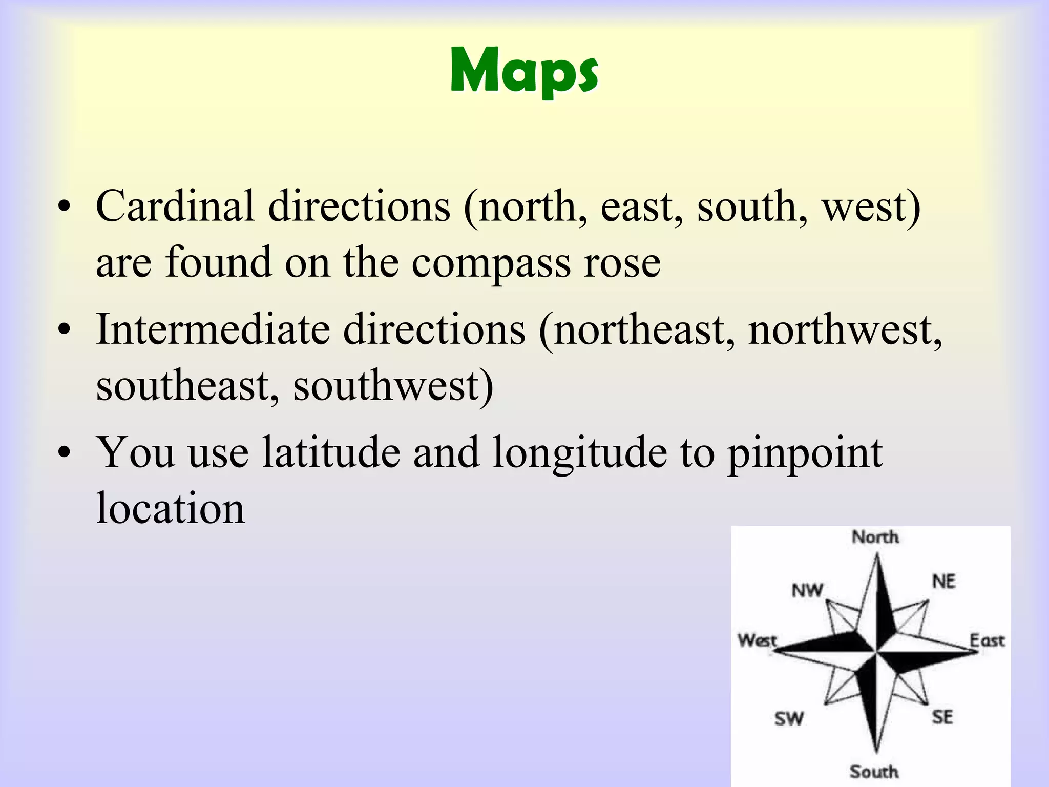
[Geography, Cartography, Region, Atmosphere, Lithosphere, Hydrosphere, Biosphere, Longitude,
Latitude, Territorial, Equator, etc]
Respond to the following questions:
Give a detailed descriptive account of Zambia’s geography in terms of its grid and region location
Give a detailed descriptive account of Zambia’s geography in terms of its population and economical
zones
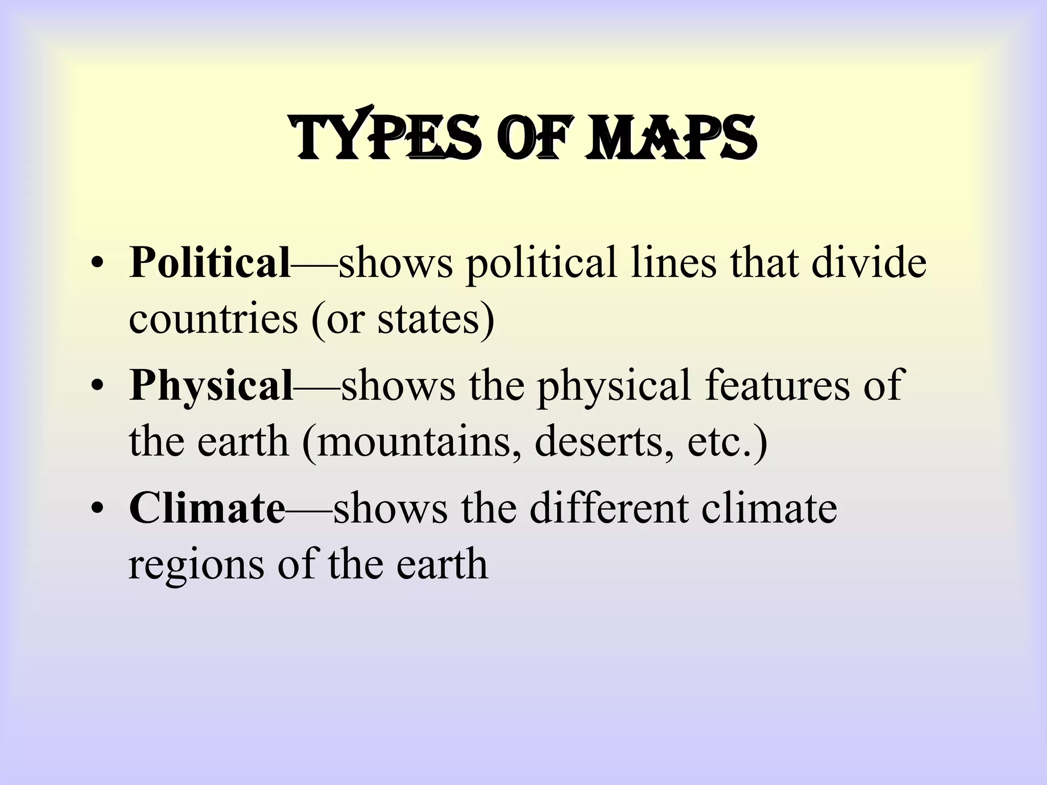
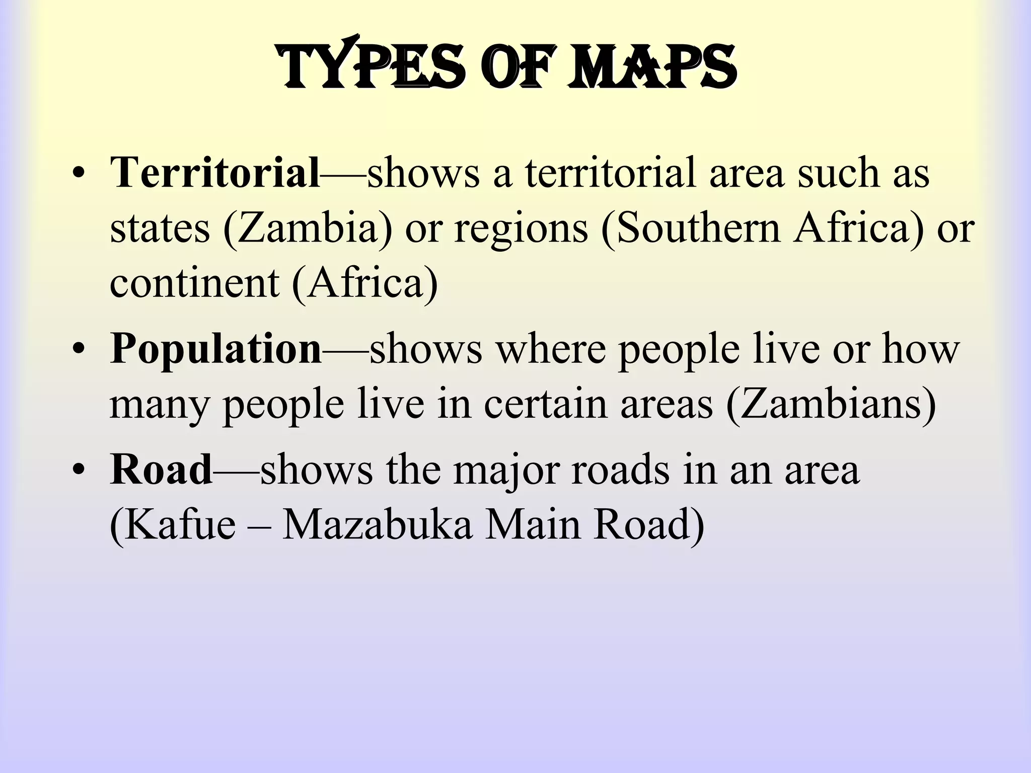
Describe in details the geographical maps as they apply to the Zambian scenario
Describe various geographical terms with examples of Zambian-based sites
Group work discussional questions:
Explore pros and cons of the geographical location of Zambia within identified region
What are the economical advantages and disadvantages in terms of Zambia’s geographical location and its
population
Using the geographical terms as stated, relate and discuss them to those found in Zambia
Study Questions