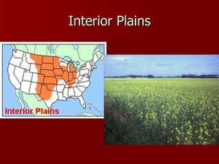
Plains are large, flat lands found in interior continental regions. They are ideal for agriculture due to thick, fertile soils and grasslands. Coastal plains are located near oceans in low-lying areas. Interior plains lie between mountain ranges, such as the Great Plains between the Rockies and Mississippi River.
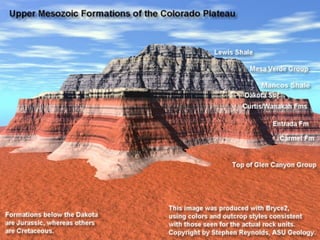
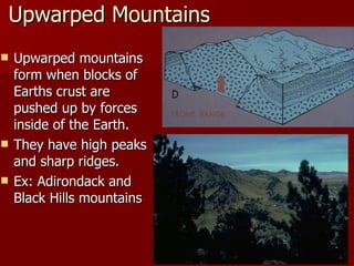
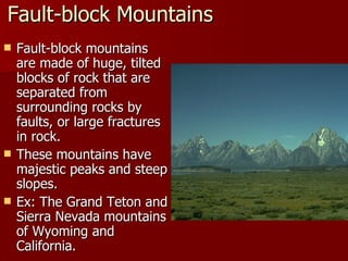
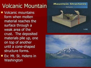
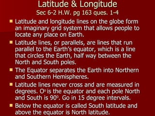
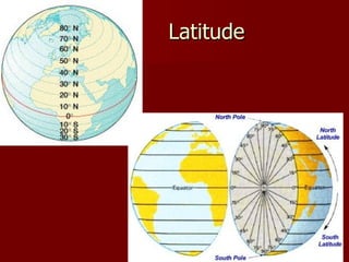
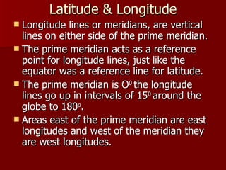
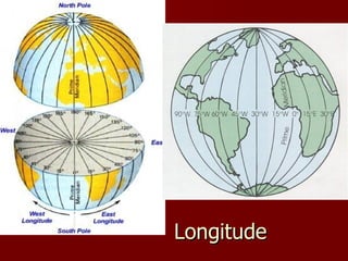
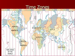
Plateaus are flat uplifted areas with steep edges cut through by rivers like the Grand Canyon. Mountains form through folding, faulting, upwarping, and volcanism. Latitude and longitude lines create a grid system to locate places on Earth, with latitude ranging from 0-90 degrees north and south of the equator. Time zones divide Earth into 24 zones to coordinate time based on longitude.