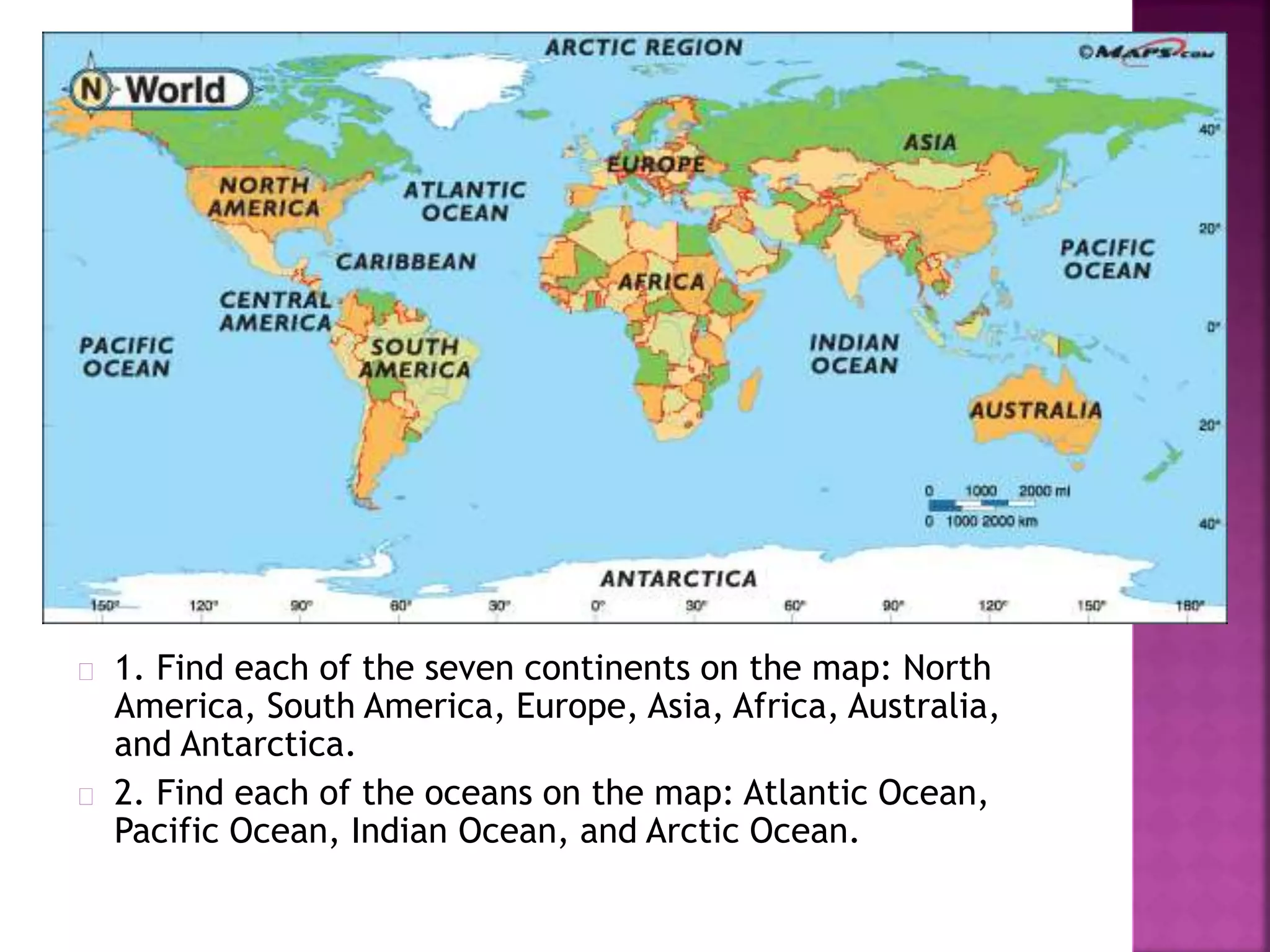
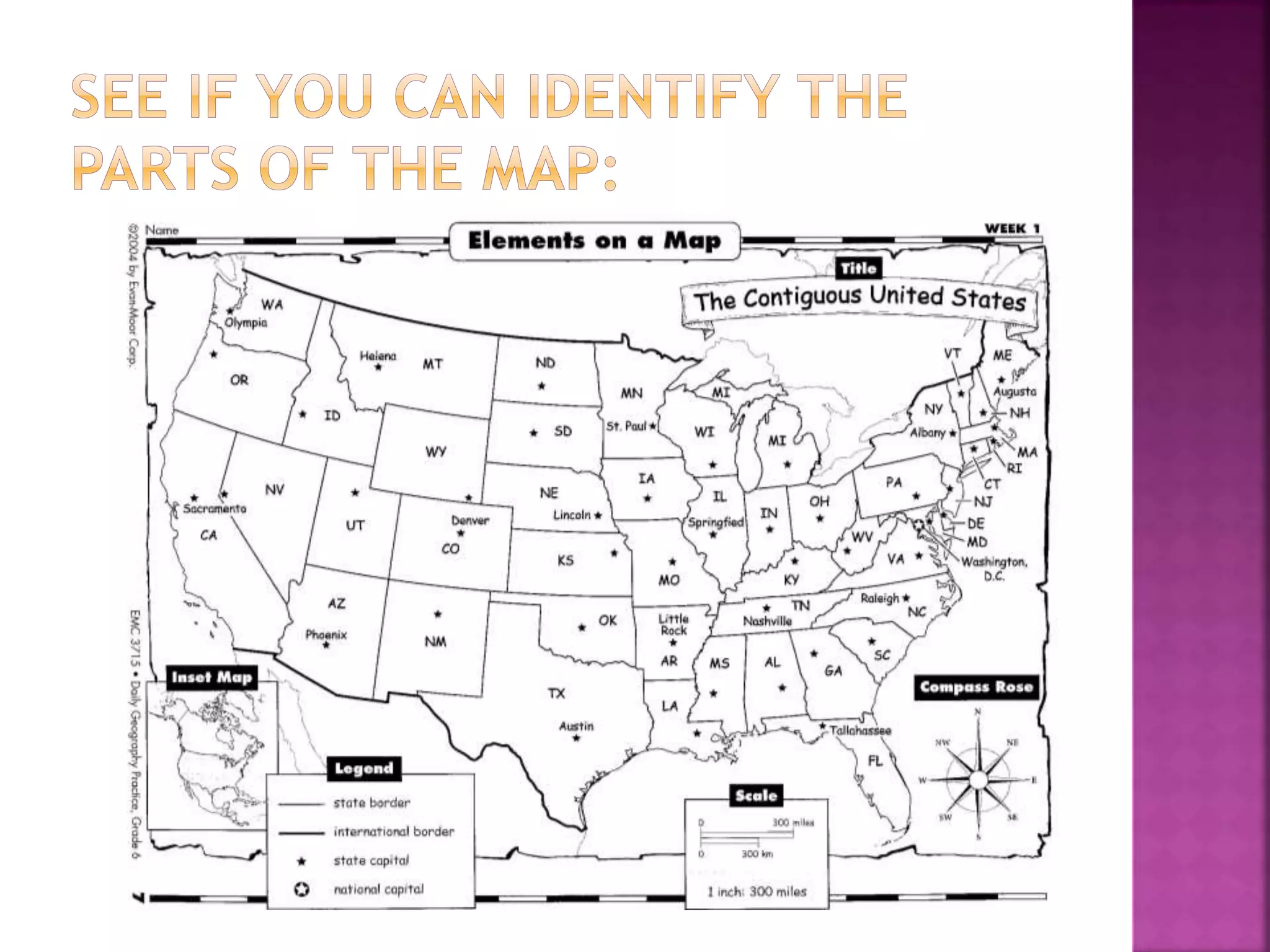
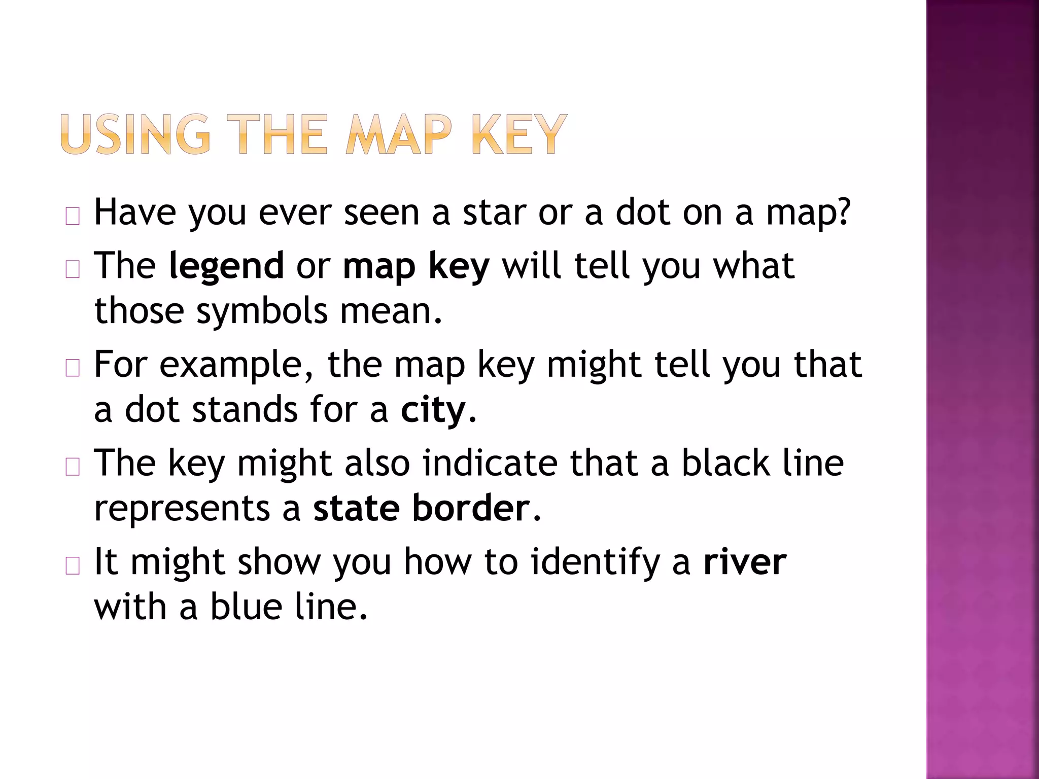
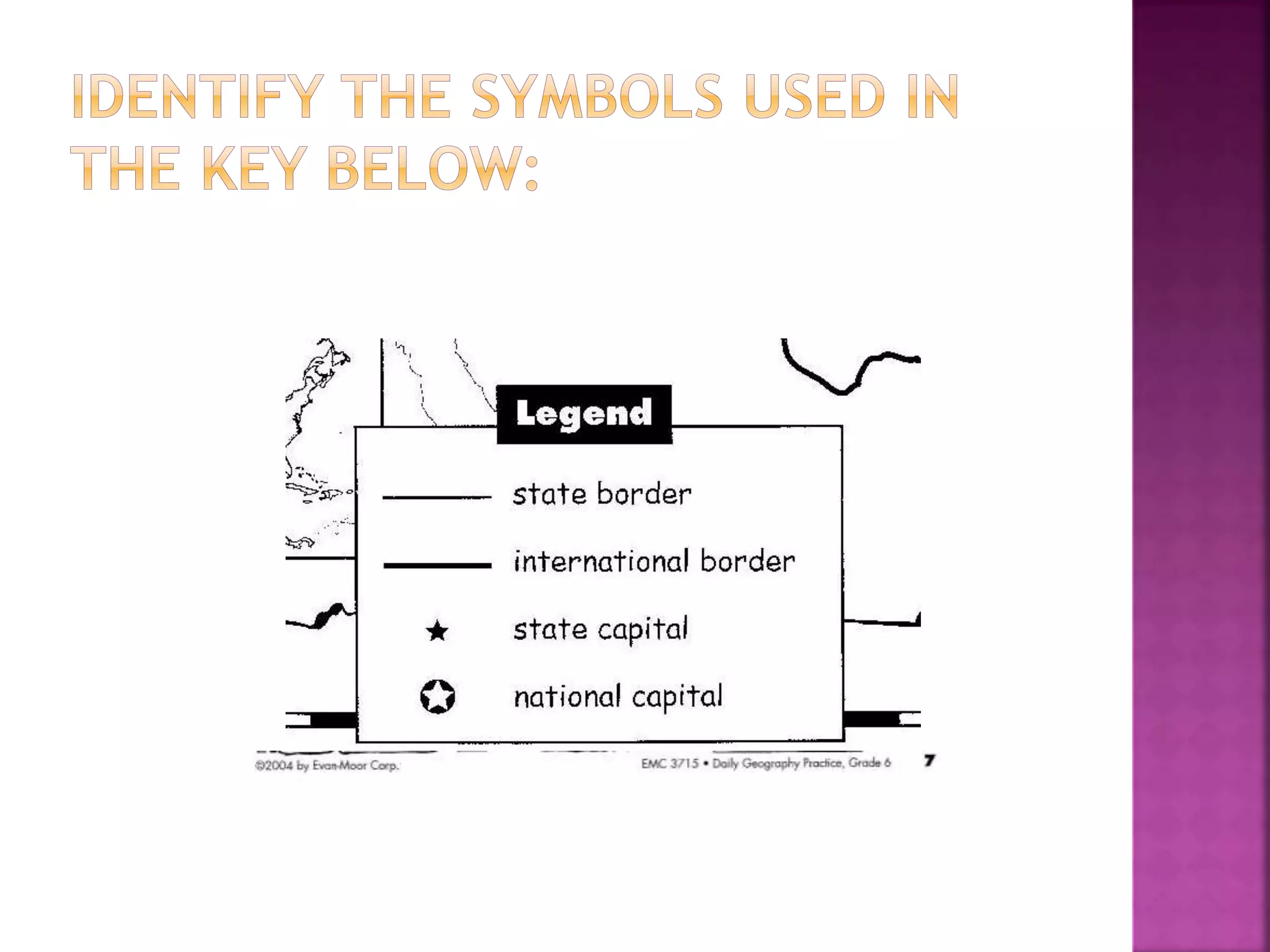
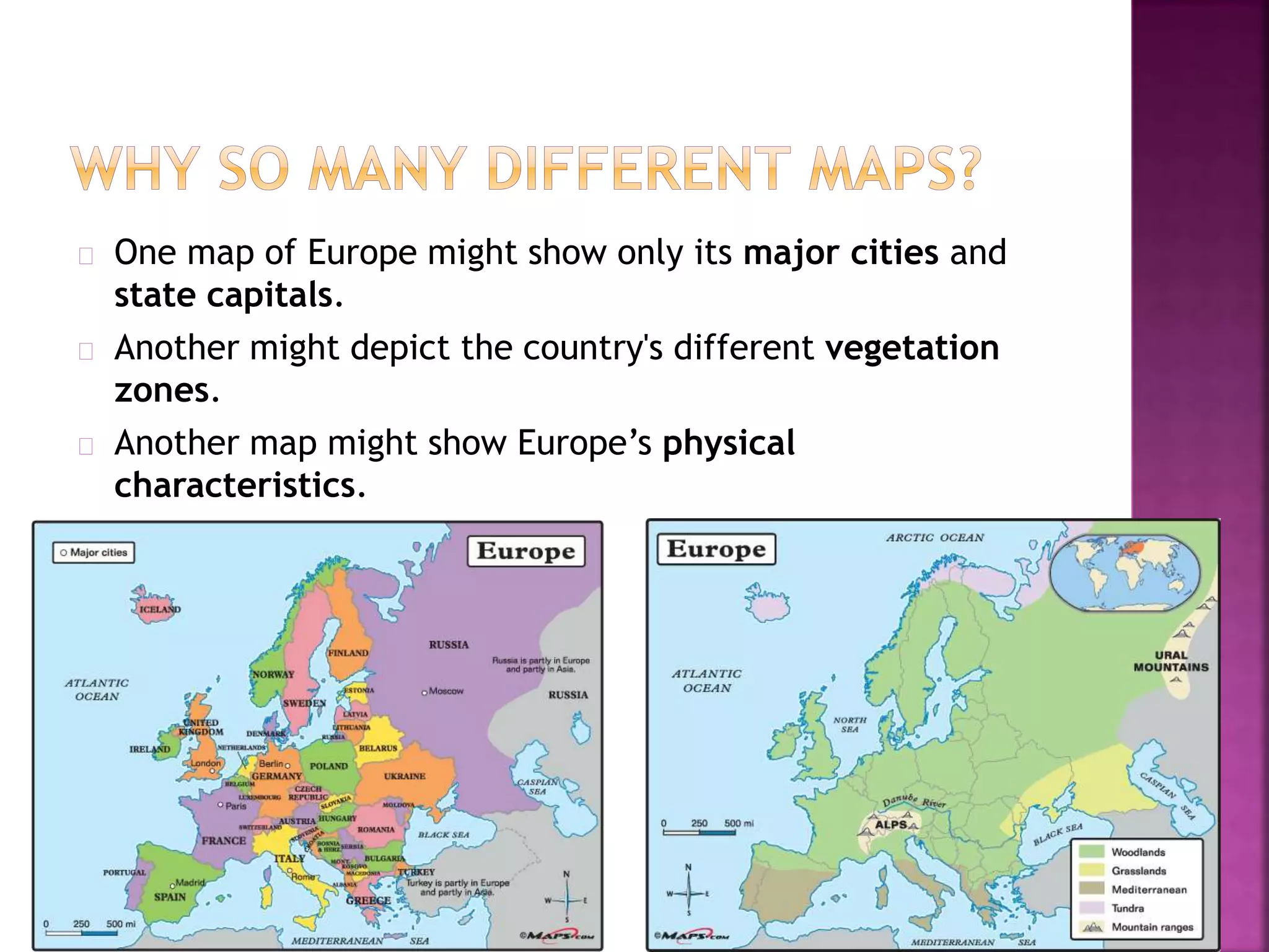
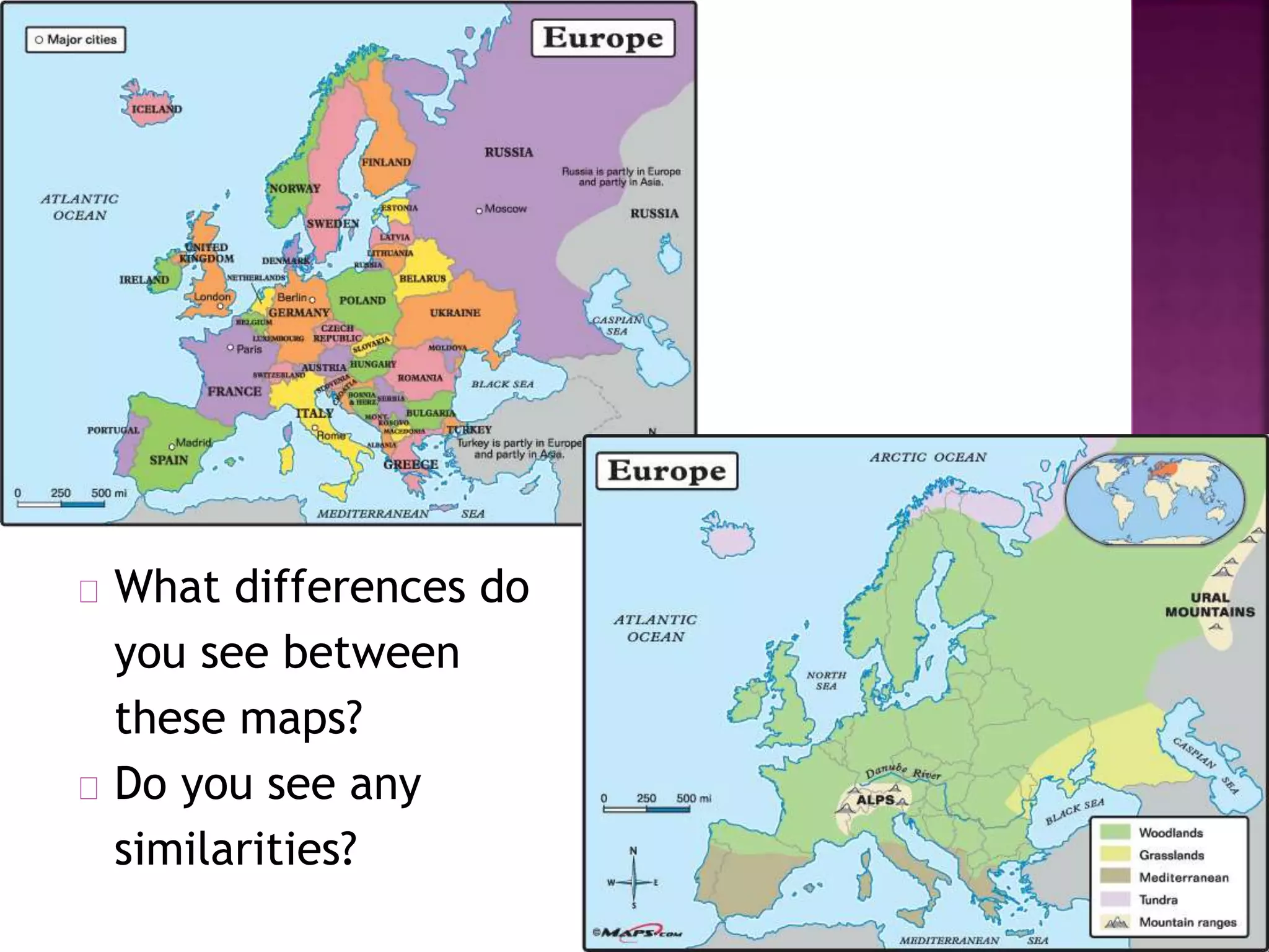
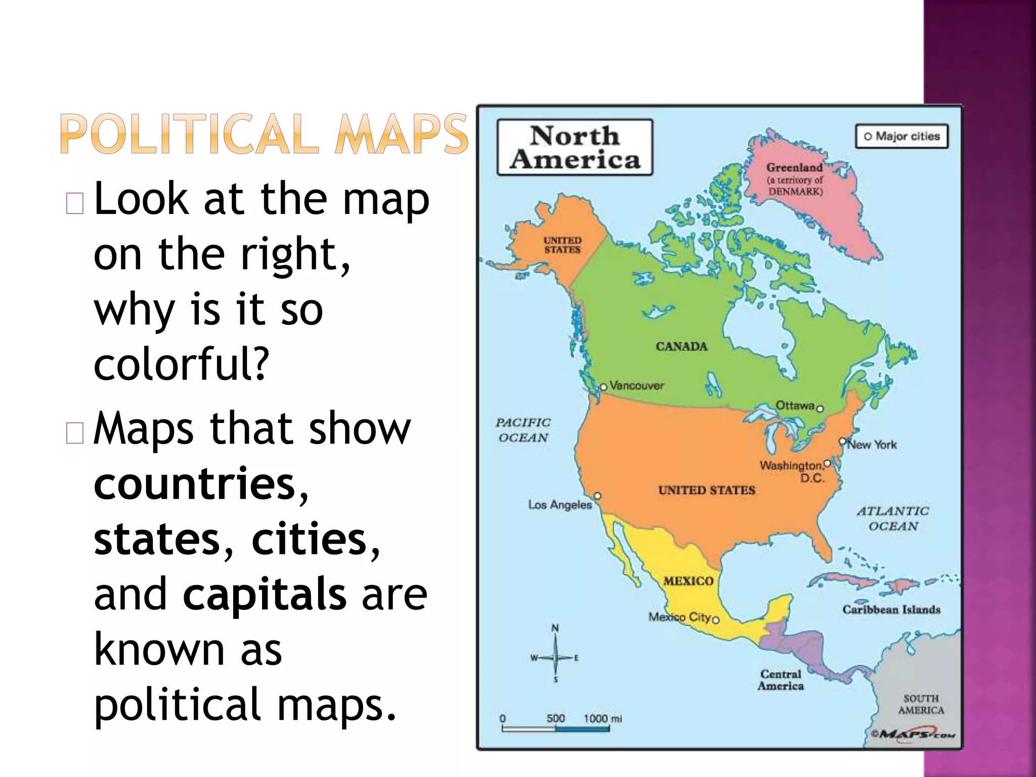
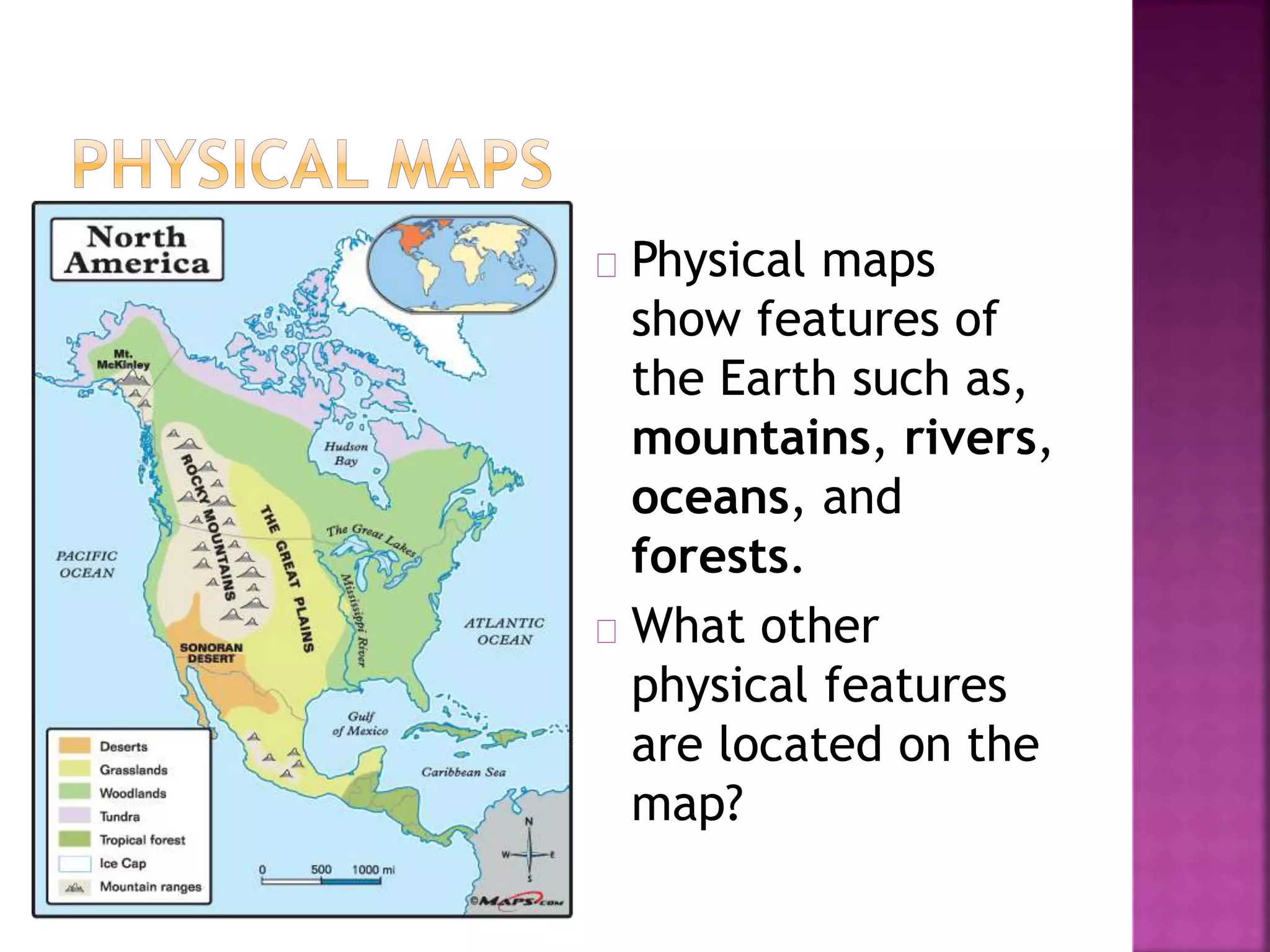
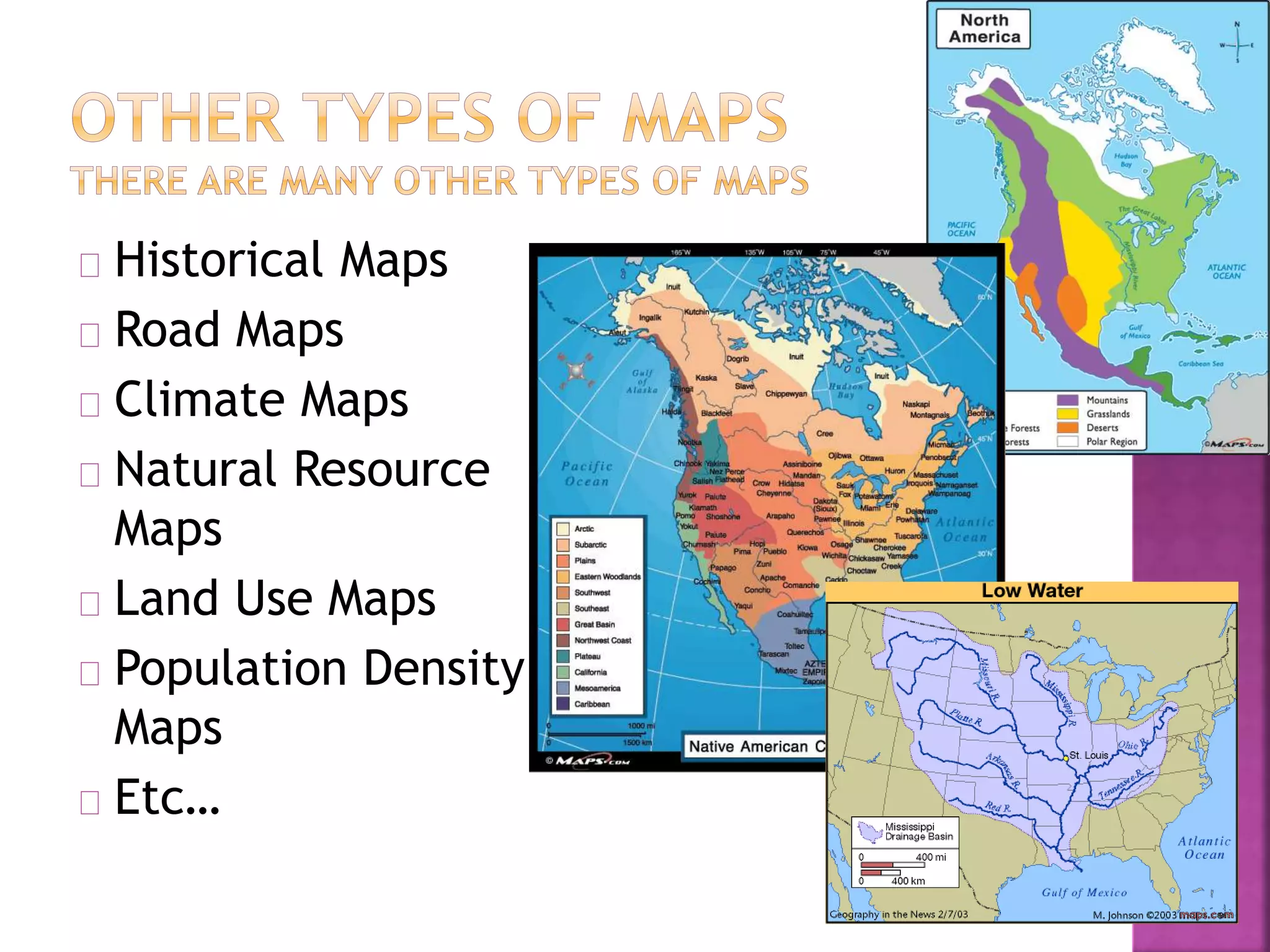
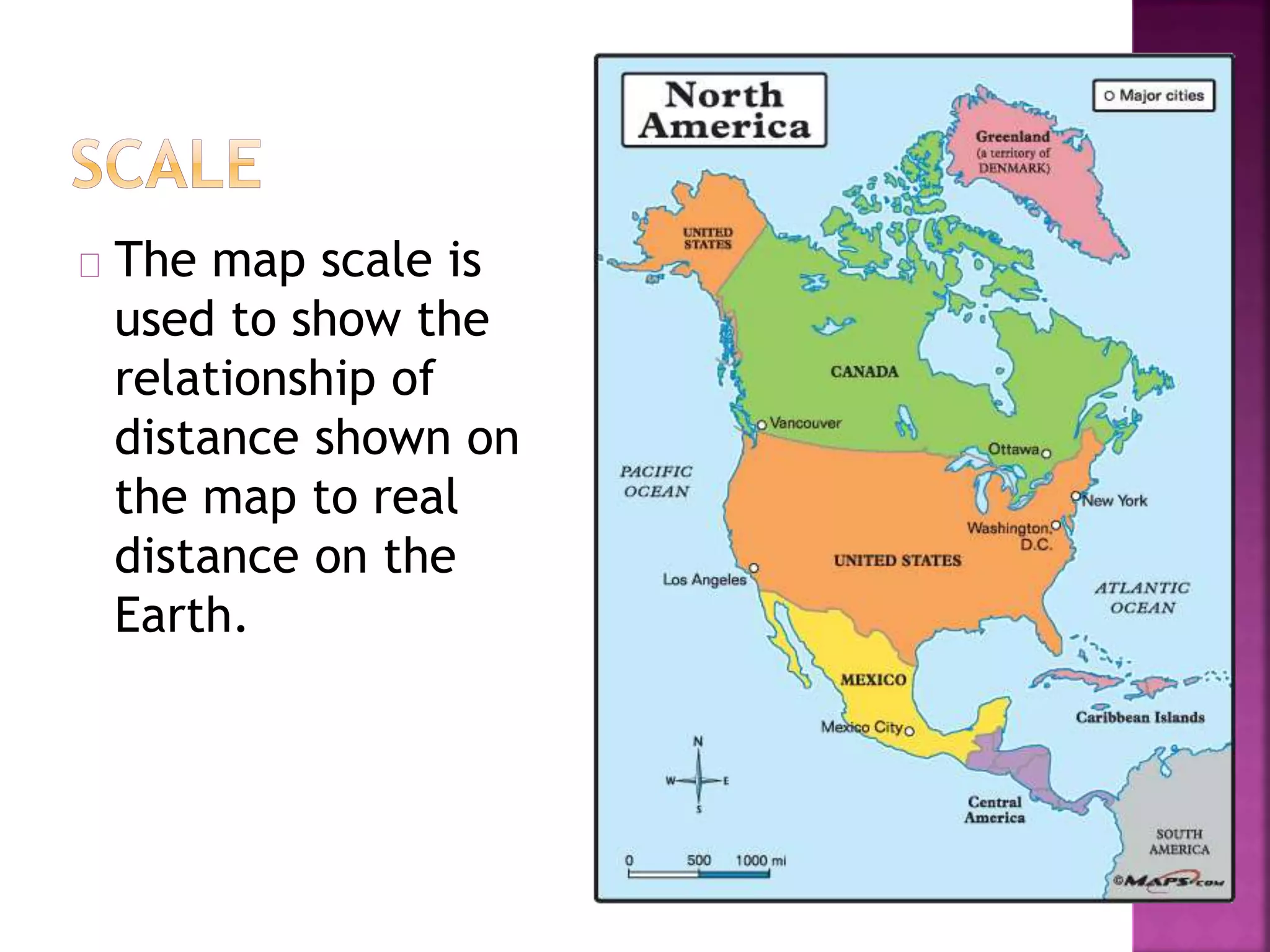
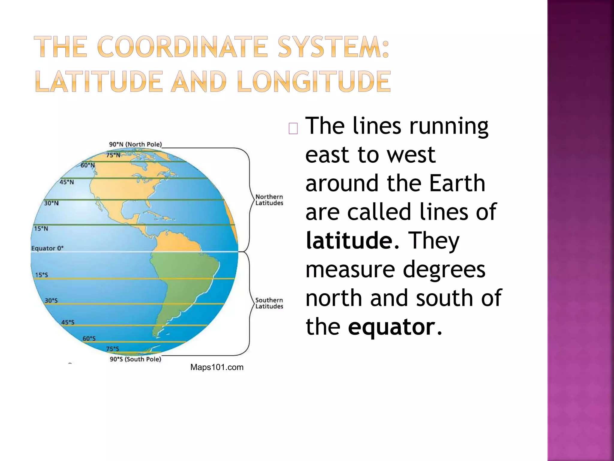
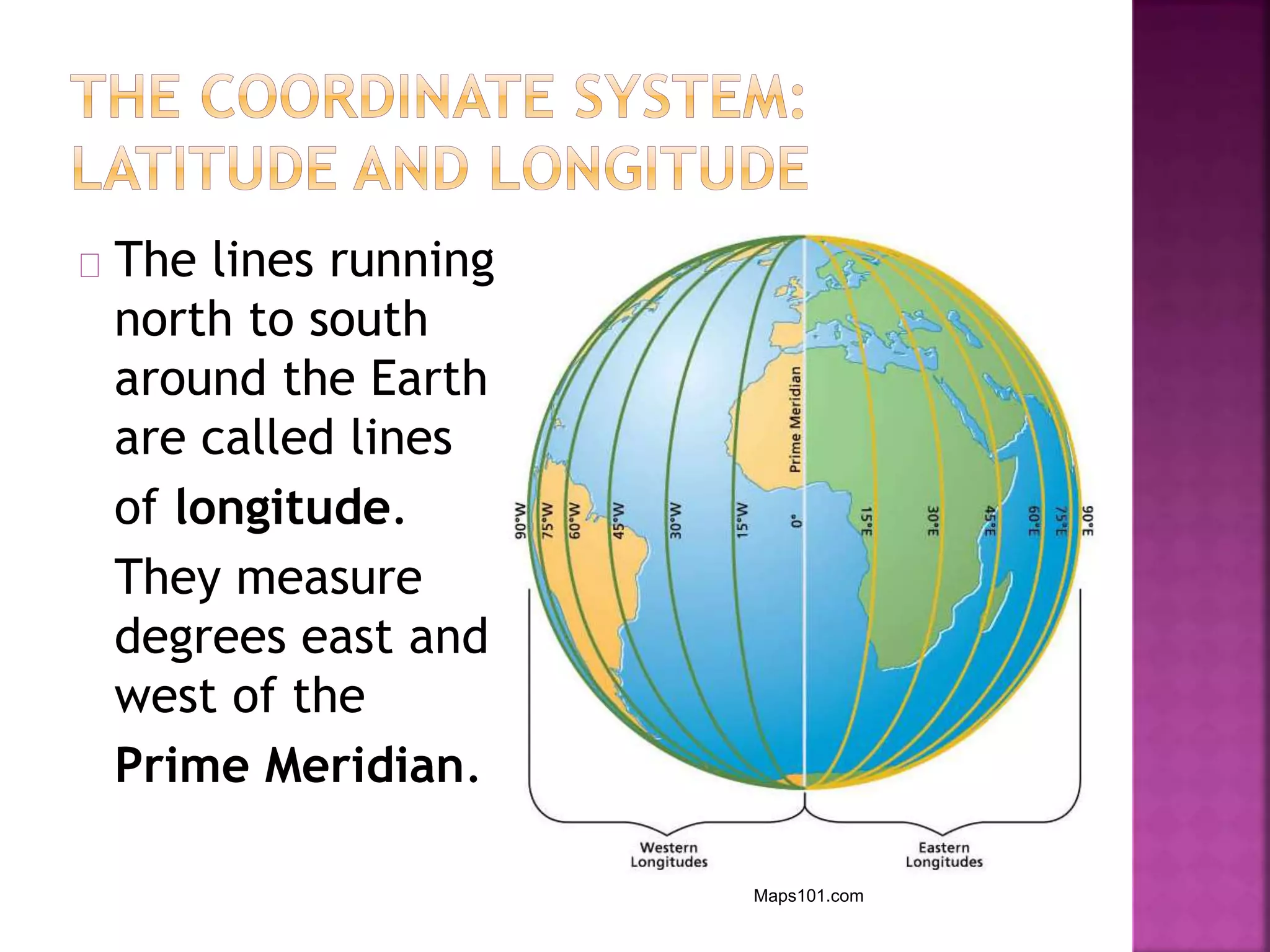
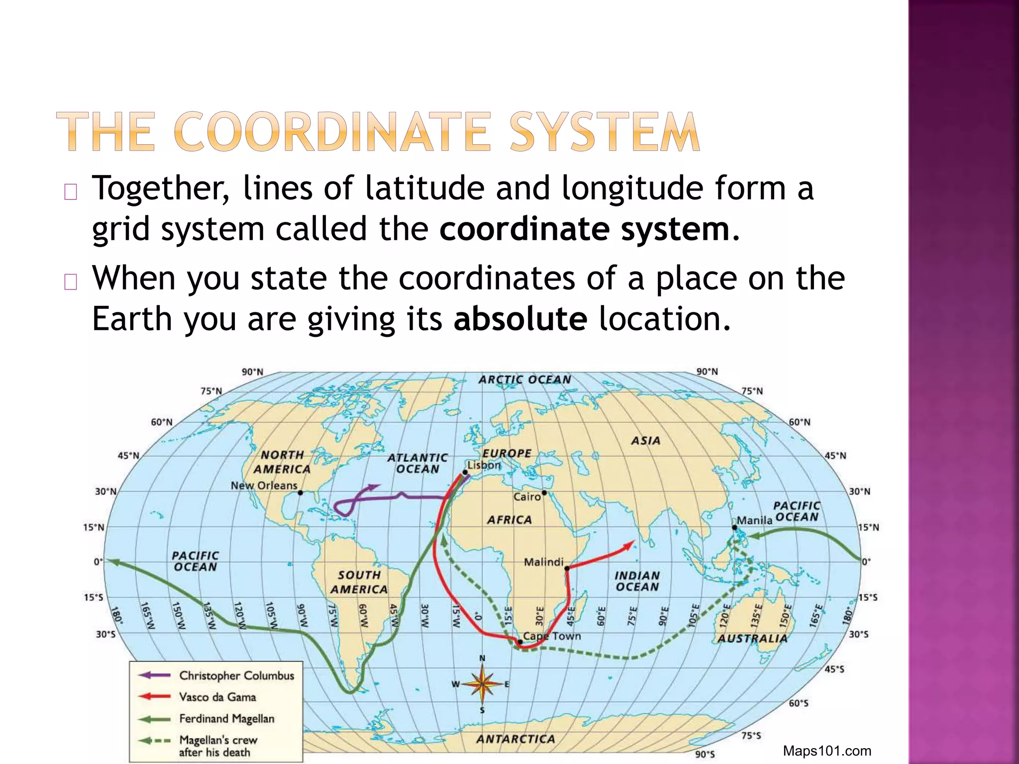
This document discusses different types of maps and how to read them. It explains that globes and maps are tools used to learn about the Earth. A globe shows a round model from space with continents and oceans, while a map displays a flat representation that can be carried. The document then describes important map elements, such as the title, legend, compass rose and scale. It also discusses different kinds of maps including political, physical, historical and climate maps. Finally, it explains how latitude and longitude lines form a grid system to precisely locate places on Earth.