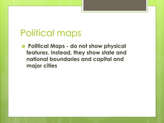
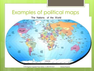
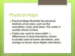
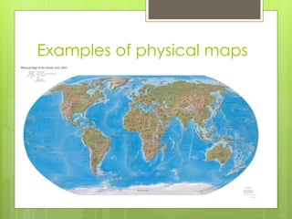
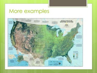
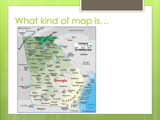
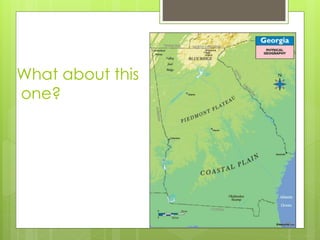
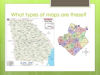
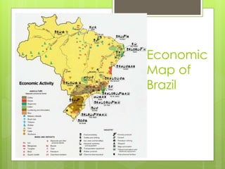
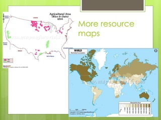
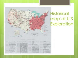
Types of
Maps
Social Studies 2014-2015
What are maps used for?
 In geography, maps are one of the most
important tools used to examine either the
entire Earth or a specific part of it. Simply
defined, maps are pictures of the Earth's
surface. They can be general references and
show political boundaries and the locations of
cities, landforms, water, or very specific topics
such as the average rainfall or the distribution
of a certain disease throughout a county.
 Taken from: http://geography.about.com/od/understandmaps/a/map-types.htm
Political maps
 Political Maps - do not show physical
features. Instead, they show state and
national boundaries and capital and
major cities
Examples of political maps
More examples
Physical Maps
 Physical Maps illustrate the physical
features of an area, such as the
mountains, rivers and lakes. The water is
usually shown in blue.
 Colors are used to show relief —
differences in land elevations. Green
is usually used at lower elevations, and
orange or brown show higher elevations.
Examples of physical maps
More examples
What kind of map is…
What about this
one?
What types of maps are these?
Economic/Resource Maps
 Economic or Resource Map: An
economic or resource map shows
economic activity or natural resources in
an area.
Economic
Map of
Brazil
More resource
maps
Historical Maps
 A historical map shows locations, events,
or points of interest for a specific time in
history. They may also focus on a
geographical location.
Historical
map of U.S.
Exploration
More historical
maps

Types of maps