Downloaded 189 times

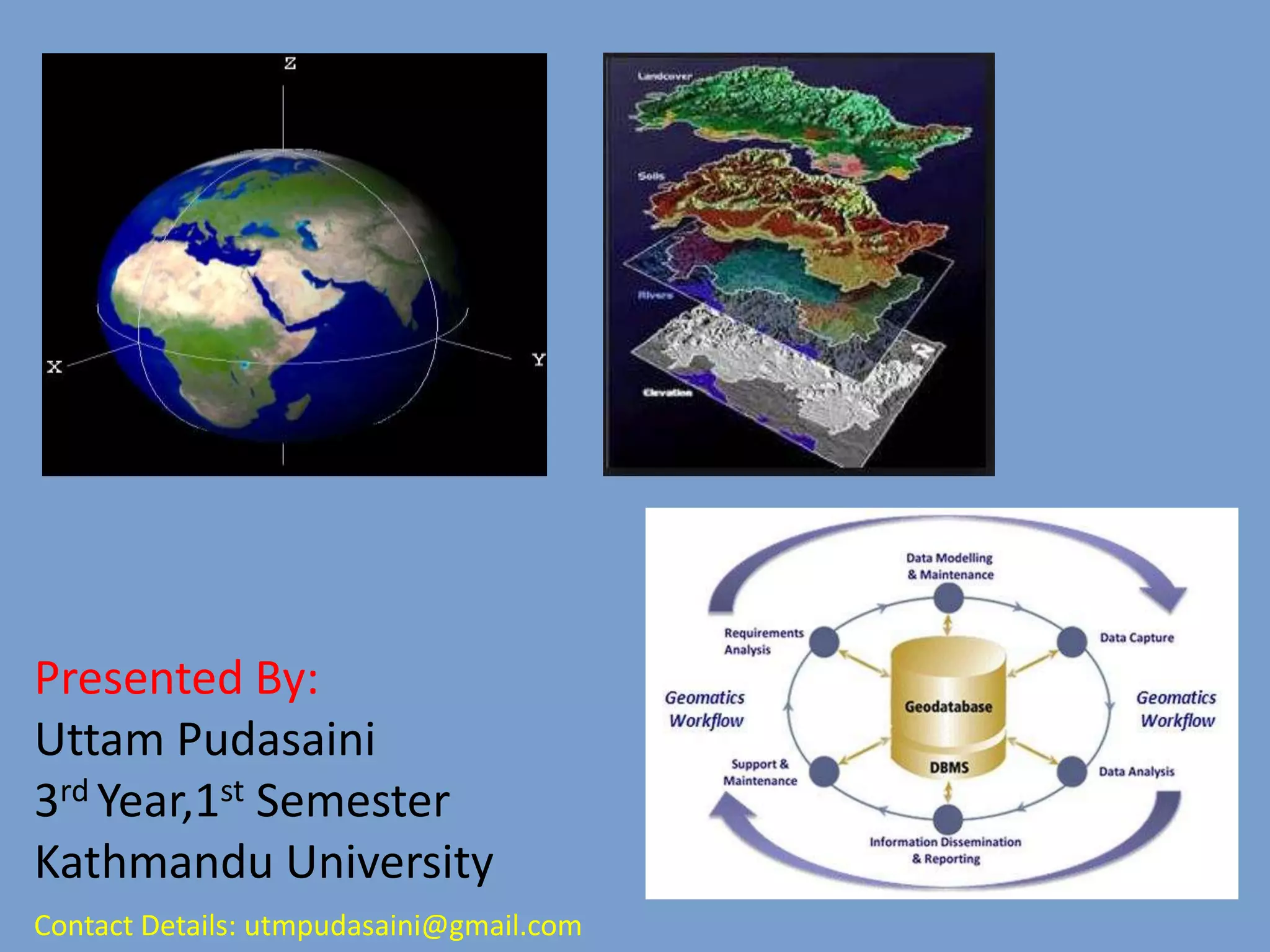

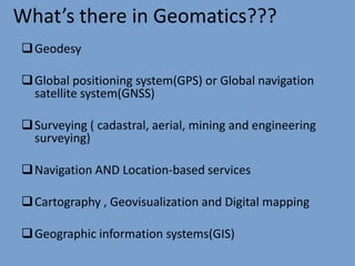
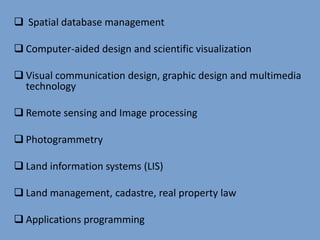
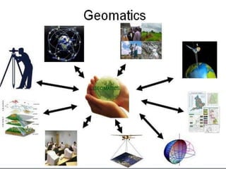
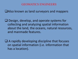

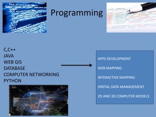
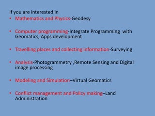
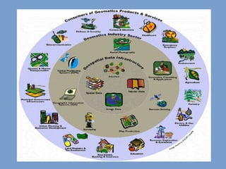
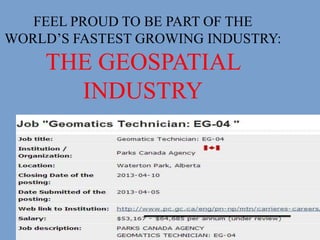
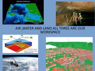

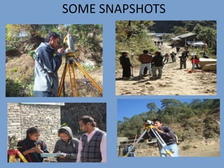


Uttam Pudasaini gives a presentation on geomatics, which involves determining the precise position of objects on Earth and representing spatial information digitally. Geomatics incorporates fields like geodesy, surveying, GPS, remote sensing, photogrammetry, GIS and programming for spatial data analysis. It is a rapidly developing industry focused on collecting and analyzing location-based information. Geomatics engineers design systems to gather and study data about land, oceans, natural resources and man-made structures to support decision-making. The career was entered due to advice, scholarships and its dynamic nature combining mathematics, computers, travel and policy work.


![Using arc map to create package map along with a report file [metadata]](https://cdn.slidesharecdn.com/ss_thumbnails/usingarcmaptocreatepackagemapalongwithareportfilemetadata-140430025951-phpapp02-thumbnail.jpg?width=640&height=640&fit=bounds)