Downloaded 36 times


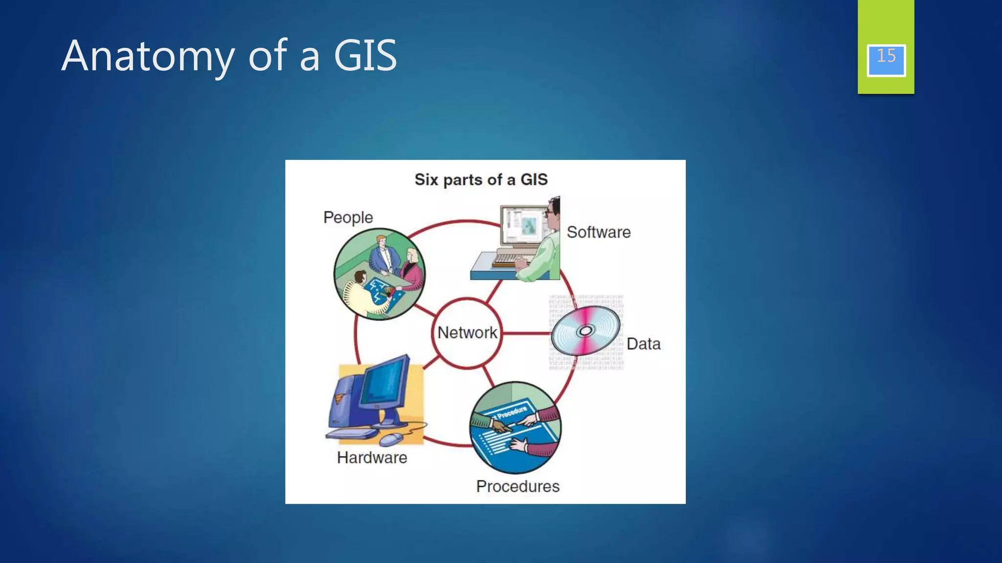


This document provides an introduction to geographic information systems (GIS). It defines GIS as a computer system for capturing, storing, analyzing and displaying spatially-referenced data. A GIS integrates database operations with maps in digital form and allows users to create interactive queries, analyze spatial information, edit maps and present results. The document outlines key components of a GIS including data, databases, processing capabilities, hardware and communications. It also discusses the importance of location in problem-solving and decision making as well as the history and business applications of GIS technology.