Downloaded 136 times
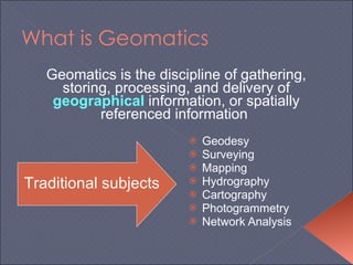
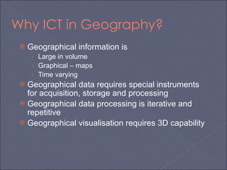
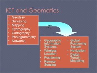
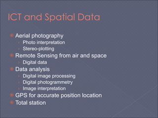
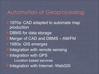
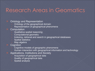
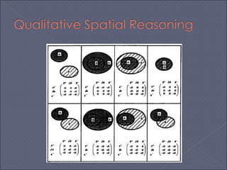
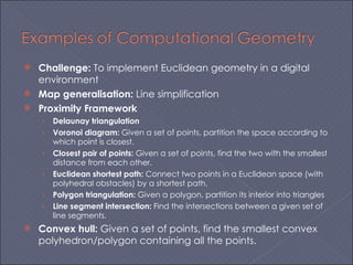

Geomatics involves gathering, storing, processing, and delivering geospatial information. Key areas include geodesy, surveying, mapping, and photogrammetry. ICT has enabled automation and integration of these areas through technologies like GIS, remote sensing, GPS, and web-based systems. Geomatics research includes spatial data representation, computation, cognition, applications in society, and more. Challenges include implementing geometry concepts digitally and analyzing large geospatial datasets.