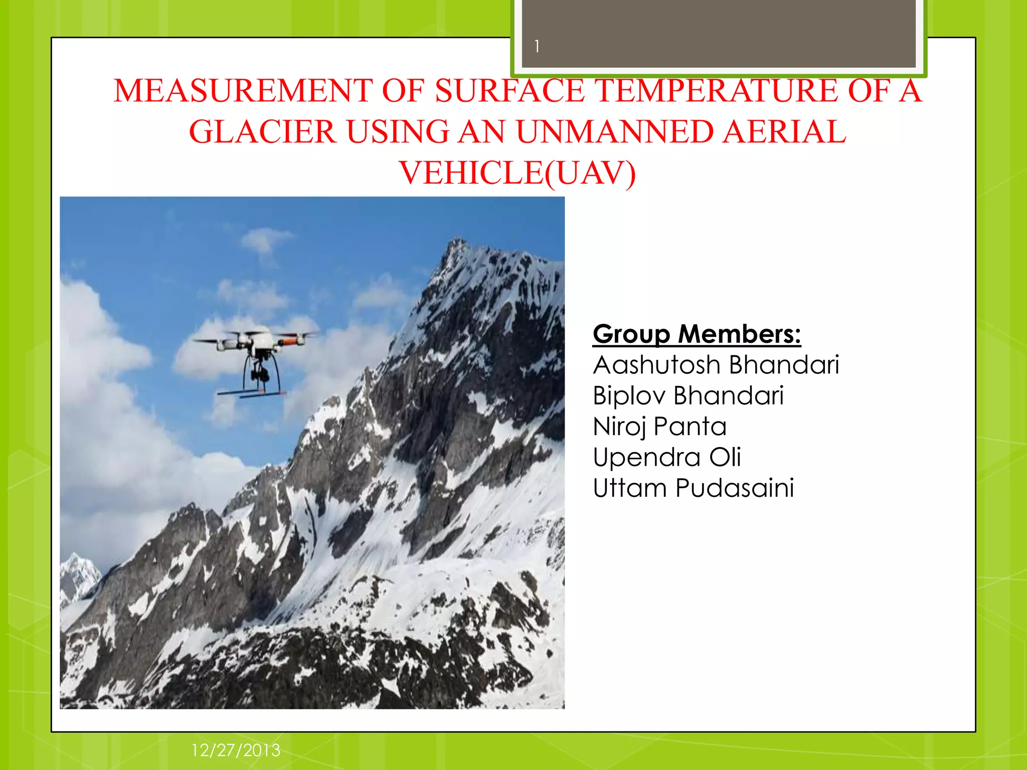


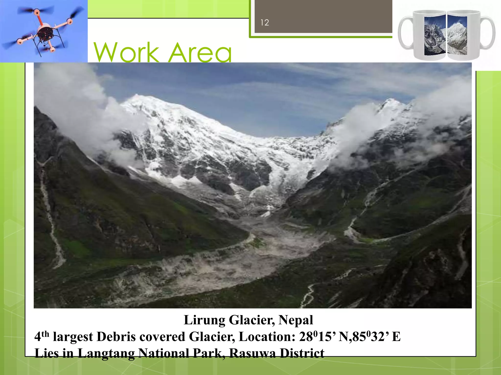
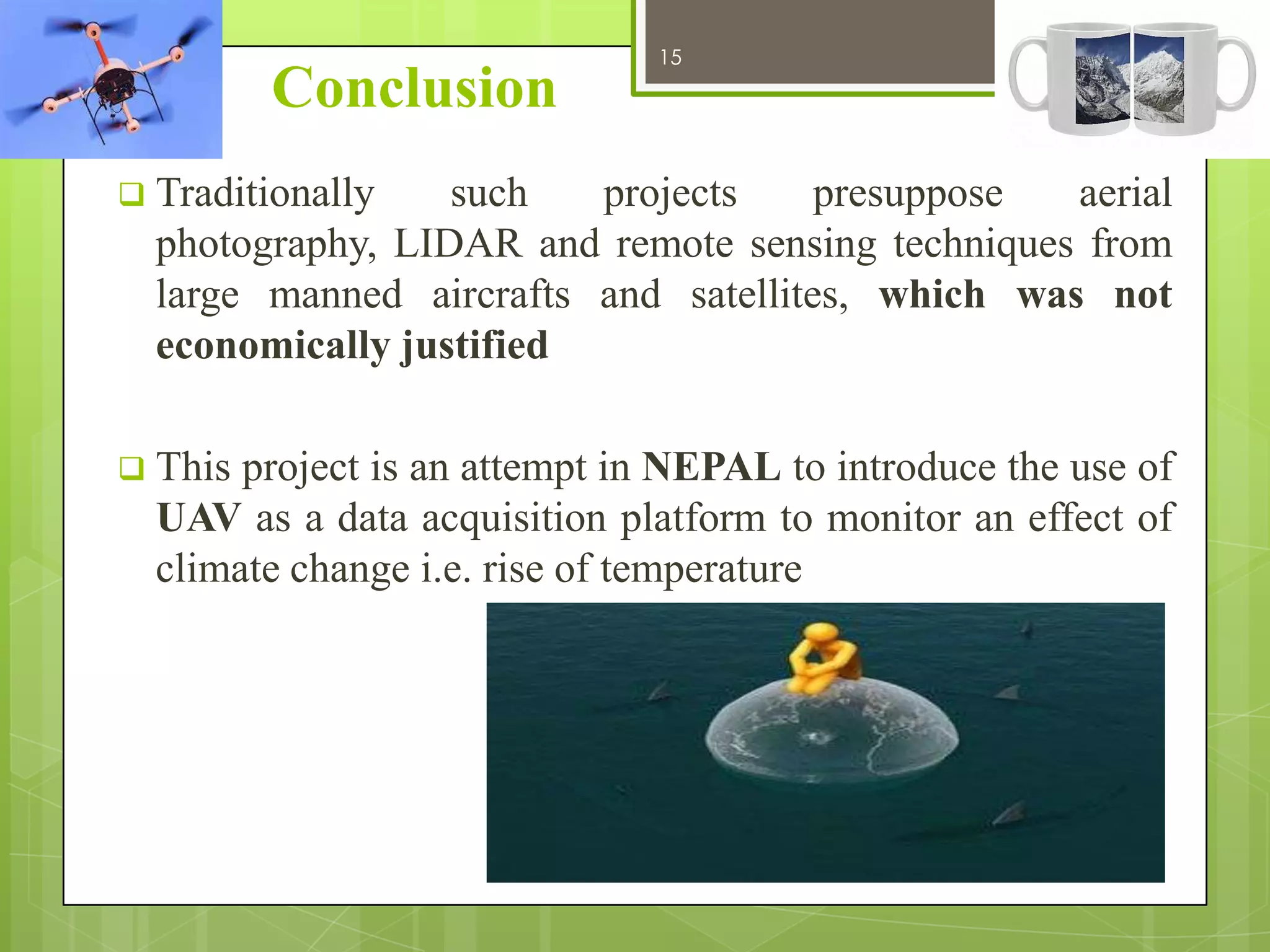
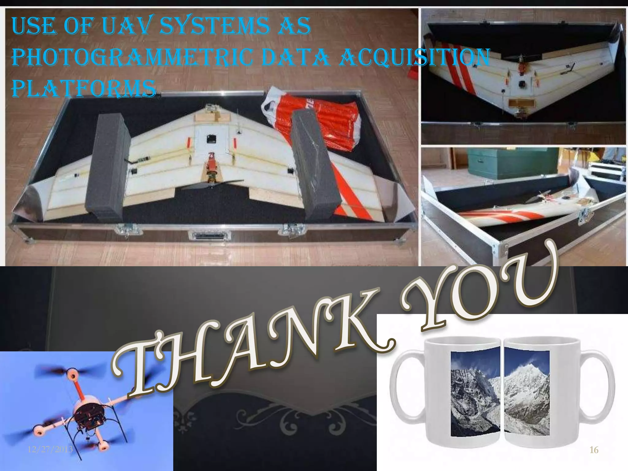

This document outlines a project that aims to measure the surface temperature of a glacier in Nepal using an unmanned aerial vehicle (UAV). The project objectives are to understand temperature variation over time by comparing current UAV temperature measurements to past data, and to demonstrate the use of UAVs for geospatial data collection in Nepal. The methodology involves using an infrared sensor-equipped UAV to capture images of Lirung Glacier and ground temperature readings to validate the airborne measurements. Thermal data will then be analyzed to visualize temperature changes at the glacier over the past 30 years.


![Using arc map to create package map along with a report file [metadata]](https://cdn.slidesharecdn.com/ss_thumbnails/usingarcmaptocreatepackagemapalongwithareportfilemetadata-140430025951-phpapp02-thumbnail.jpg?width=640&height=640&fit=bounds)


