Download as PDF, PPTX
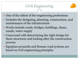


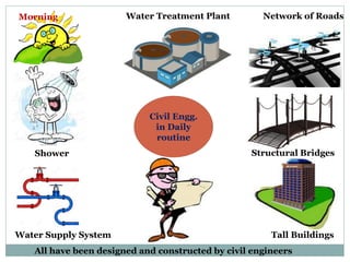


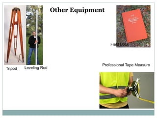
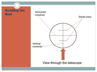


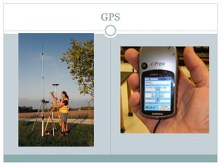

The document provides an overview of civil engineering, detailing its fundamental aspects such as design, planning, construction, and maintenance of infrastructure including roads, bridges, and buildings. It also covers surveying, which involves measuring the Earth's surface and determining the positions of points, as well as distinguishing between various types of surveying, including plane and geodetic surveys. Additionally, it explores the importance of technology such as GPS in surveying and the various instruments used in the field.


![Module-I SURVEYING-I [BTCVC304]](https://cdn.slidesharecdn.com/ss_thumbnails/module-i-191020180028-thumbnail.jpg?width=640&height=640&fit=bounds)


