Downloaded 105 times

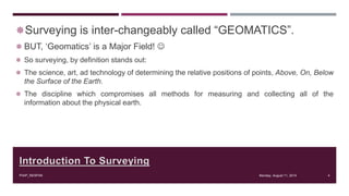
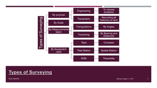
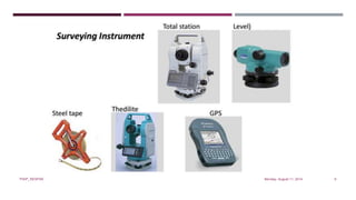
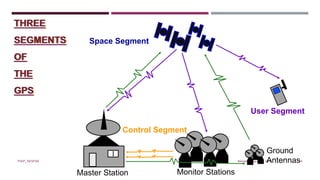
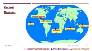
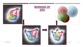
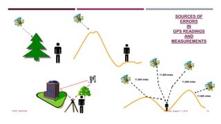
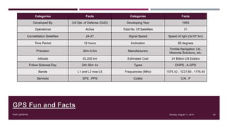


This document provides an overview of surveying, photogrammetry, GPS, and geomatics. It discusses the basics of each topic, including definitions, techniques, equipment used, and applications. Surveying is defined as determining the positions of points on Earth through methods like triangulation, traversing, and using total stations. Photogrammetry involves obtaining information about objects through photographs. GPS consists of space, control, and user segments to determine position using signals from satellites. Geomatics deals with acquiring, modeling, and managing geospatial data.