Downloaded 142 times

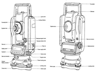
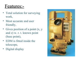


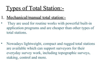

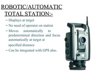


The document provides a detailed overview of total stations, digital levels, and scanners used in topographical surveying, covering their features, types, uses, advantages, and disadvantages. It explains the functioning and applications of these instruments, including the integration of technology like microprocessors and laser scanning for increased accuracy in measuring distances and creating detailed models. Safety precautions and auxiliary equipment required for effective surveying are also highlighted.