Downloaded 38 times

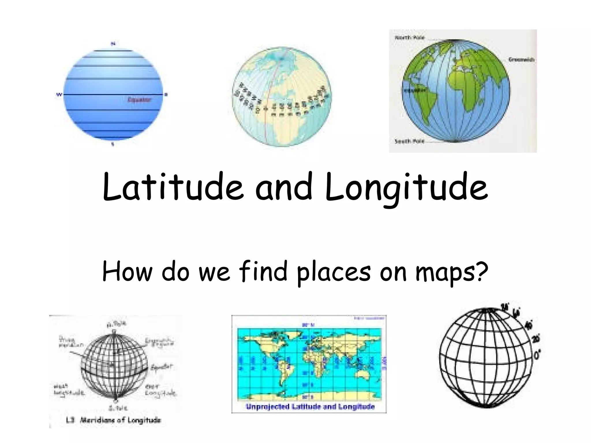
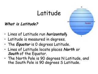

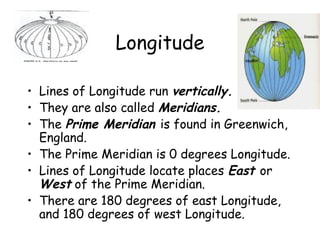
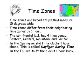
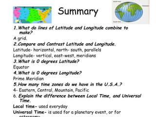

Latitude and longitude are used to locate places on maps. Lines of latitude run horizontally around the Earth and are measured in degrees from the equator (0 degrees) to the poles (90 degrees North and South). Lines of longitude run vertically and are also called meridians, measured in degrees East and West from the prime meridian in Greenwich, England (0 degrees). The intersection of lines of latitude and longitude create a grid that can be used to specify any location on Earth. Time zones, which shift in 15 degree widths, use latitude and longitude to demarcate one hour of time difference between each zone.


![Latitudes and Longitudes [Autosaved].pptx](https://cdn.slidesharecdn.com/ss_thumbnails/latitudesandlongitudesautosaved-221031193426-8f2f0591-thumbnail.jpg?width=640&height=640&fit=bounds)