Downloaded 1,134 times
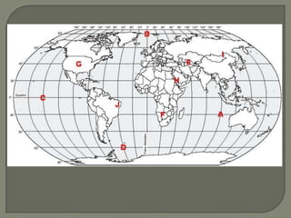
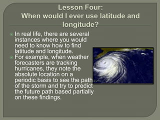
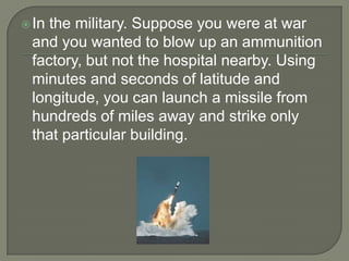
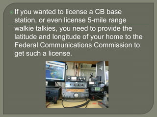

The document explains the concepts of latitude and longitude, including their definitions, measurements in degrees, and historical context related to the equator and prime meridian. It provides practical examples of how latitude and longitude are used in various real-life situations such as weather tracking, military operations, and emergency responses. Additionally, it emphasizes the proper notation of coordinates and encourages further exploration of geographical resources.


