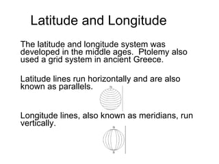
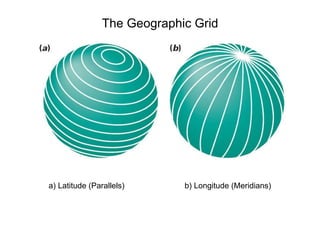
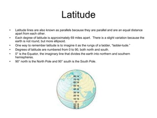
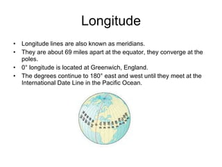
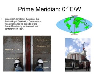
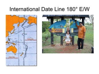
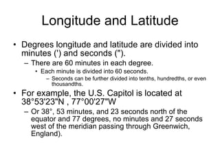
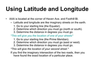
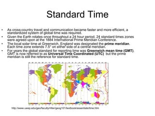
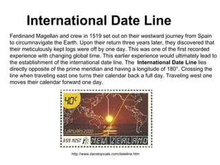
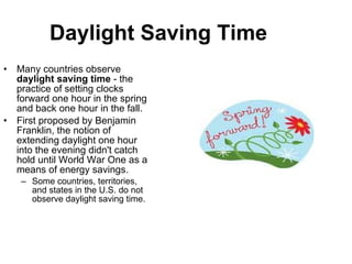
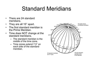
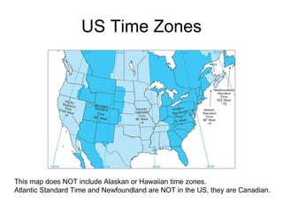
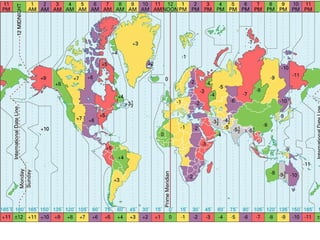
The document discusses the history and development of latitude, longitude, and timekeeping systems. It explains that latitude and longitude were developed in the Middle Ages to create a global grid system for location. It then provides details on latitude and longitude lines and degrees, and how they are used to precisely locate places on Earth. The document also outlines the development of standardized time zones to facilitate global communication and travel, and covers the establishment of the Prime Meridian, International Date Line, and daylight saving time.


![International spheroid[1]](https://cdn.slidesharecdn.com/ss_thumbnails/internationalspheroid1-130817100358-phpapp02-thumbnail.jpg?width=640&height=640&fit=bounds)


![Latitudes and Longitudes [Autosaved].pptx](https://cdn.slidesharecdn.com/ss_thumbnails/latitudesandlongitudesautosaved-221031193426-8f2f0591-thumbnail.jpg?width=640&height=640&fit=bounds)


