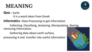
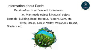
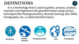
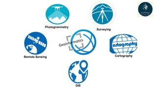
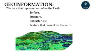
Geoinformatics is a technology focused on gathering, processing, analyzing, and managing geospatial information about the Earth's surface and its features, including both natural and man-made objects. It employs various methods like remote sensing, GIS, and photogrammetry to efficiently handle complex data related to geography, which is essential for applications in urban planning, resource management, and disaster prediction. The field is continually evolving, integrating advancements from photography, computer science, and satellite technology to enhance our understanding of both Earth and extraterrestrial environments.