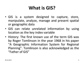
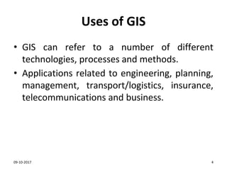
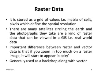
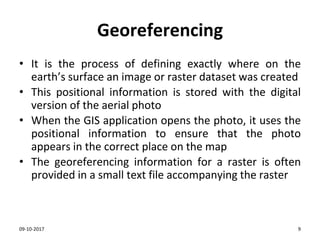
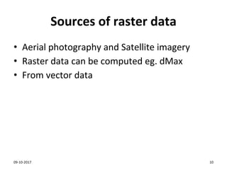
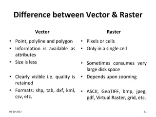
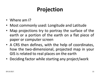
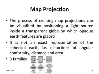
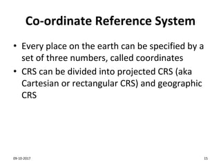
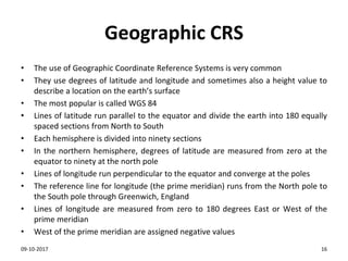
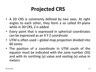
The document provides an introduction to Geographic Information Systems (GIS), detailing its functions, uses, and the types of data it works with, including vector and raster data. It discusses software options for GIS and the importance of coordinate reference systems and map projections. The content emphasizes the historical context of GIS and highlights key concepts such as georeferencing, data representation, and the difference between vector and raster formats.