Downloaded 183 times

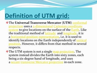
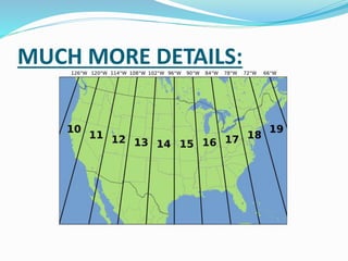
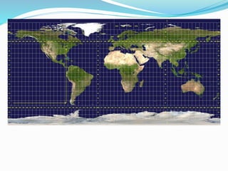
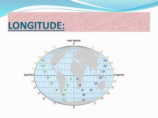
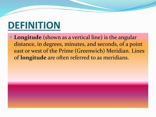

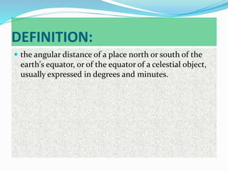
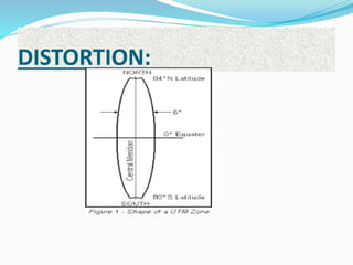
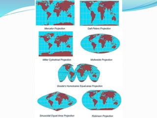
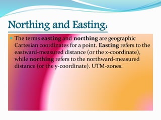
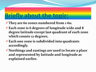


This document discusses the Universal Transverse Mercator (UTM) coordinate system. It explains that the UTM system divides the Earth into 60 zones, each being a six-degree band of longitude, and uses a secant transverse Mercator projection in each zone. It also defines important terms related to map projections like longitude, latitude, northing, easting, and coordinate systems. In particular, it notes that the UTM system uses a 2-dimensional Cartesian coordinate system to give locations on Earth's surface independently of vertical position.